
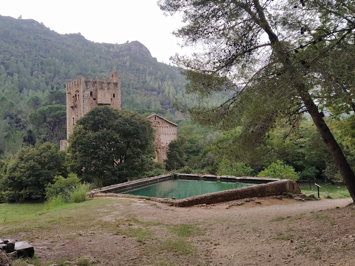
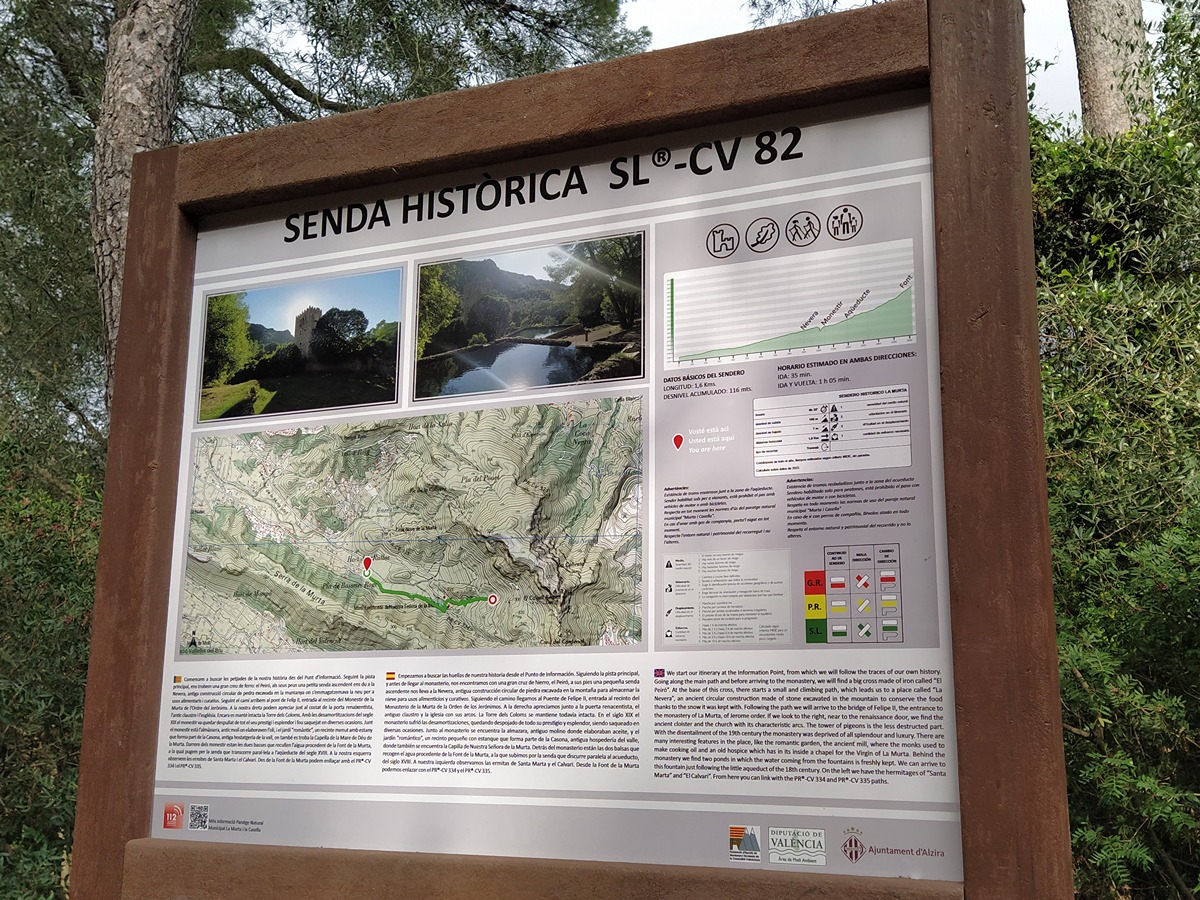
SL-CV 82 SENDA HISTÒRICA PER LA VALL DE LA MURTA
Promoter: Ayuntamiento de Alzira
Certification status: Positive quality control
0 reviews
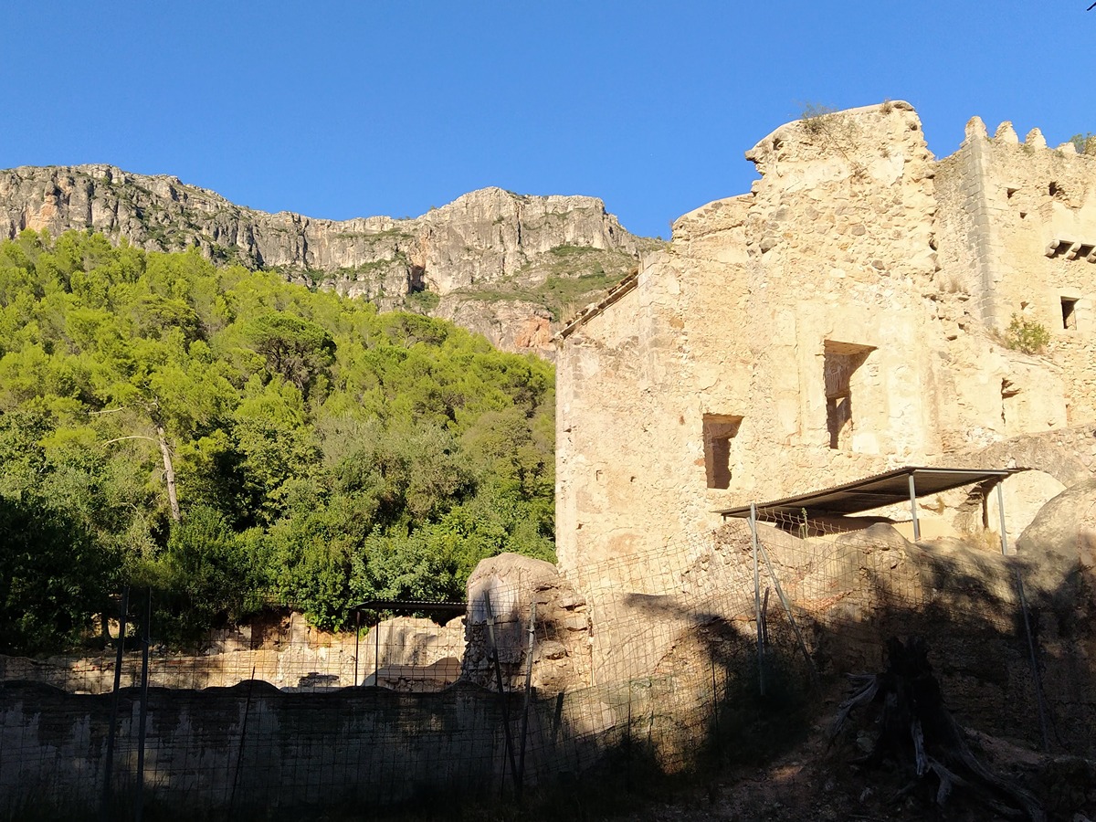
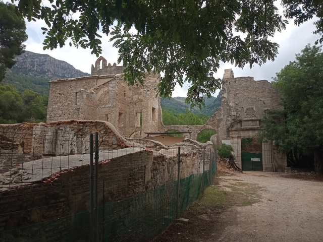
Botanical path through the Murta valley in the Local Natural Area of Interest of Murta and Casella. You can find pines, strawberry trees, laurustine, holm oaks and especially ash trees, as well as different species of plants such as thyme, rosemary, mint and myrtle. You can also visit the Monastery of La Murta.
Trail:
One way (point-to-point)
Other trails connecting with this trail
SL-CV 81 SENDA BOTÁNICA POR LA VALL DE LA MURTA
Promoter: Ayuntamiento de Alzira
Certification status: No quality controls
Reference municipality: Alzira
Length: 3,80 km
Estimated walking time: 01:25:00
Elevation gain: 225 m
Elevation loss: 225 m
(3)
PR-CV 334 CREU DEL CARDENAL
Promoter: Ayuntamiento de Alzira
Certification status: Positive quality control
Reference municipality: Alzira
Length: 6,80 km
Estimated walking time: 02:50:00
Elevation gain: 525 m
Elevation loss: 525 m
(2)
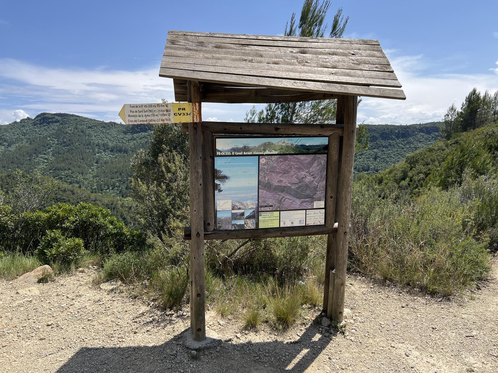
PR-CV 334.1 ENLACE PR-CV 335
Promoter: Ayuntamiento de Alzira
Certification status: Positive quality control
Length: 1,30 km
Estimated walking time: 00:25:00
Elevation gain: 40 m
Elevation loss: 20 m
(0)
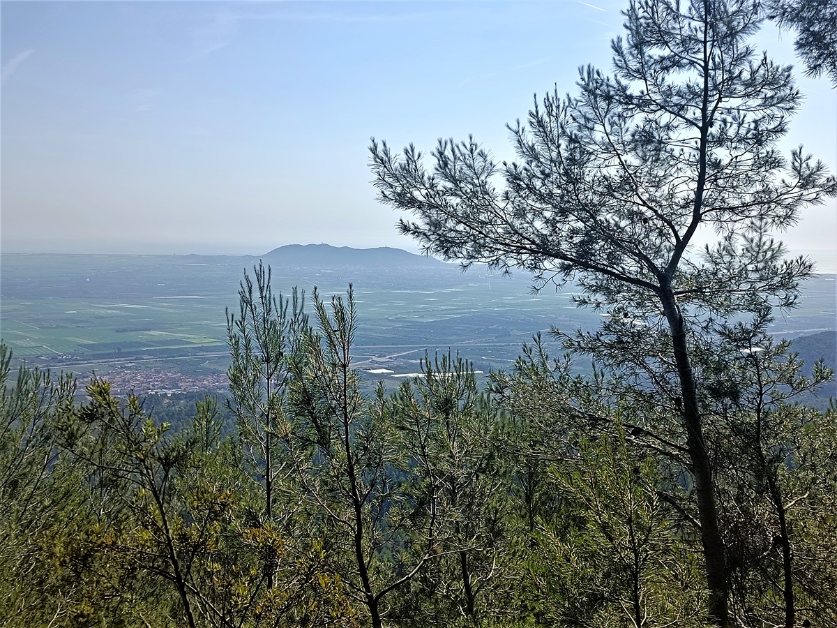
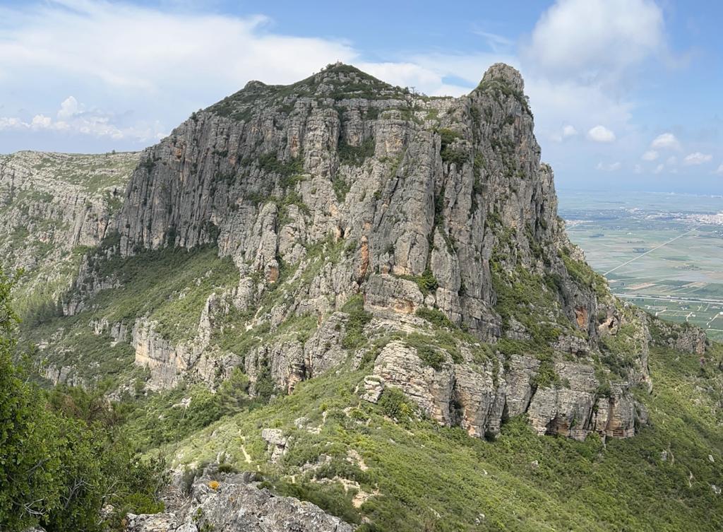
PR-CV 335 CAVALL BERNAT. ITINERARI PANORÀMIC
Promoter: Ayuntamiento de Alzira
Certification status: Positive quality control
Reference municipality: Alzira
Length: 5,30 km
Estimated walking time: 01:55:00
Elevation gain: 440 m
Elevation loss: 65 m
(1)