
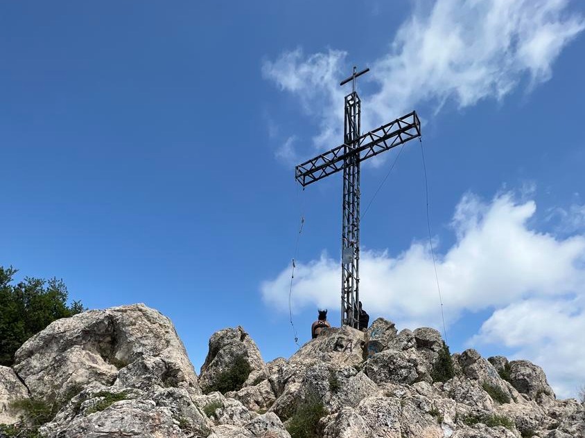
PR-CV 334 CREU DEL CARDENAL
Promoter: Ayuntamiento de Alzira
Certification status: Positive quality control
2 reviews
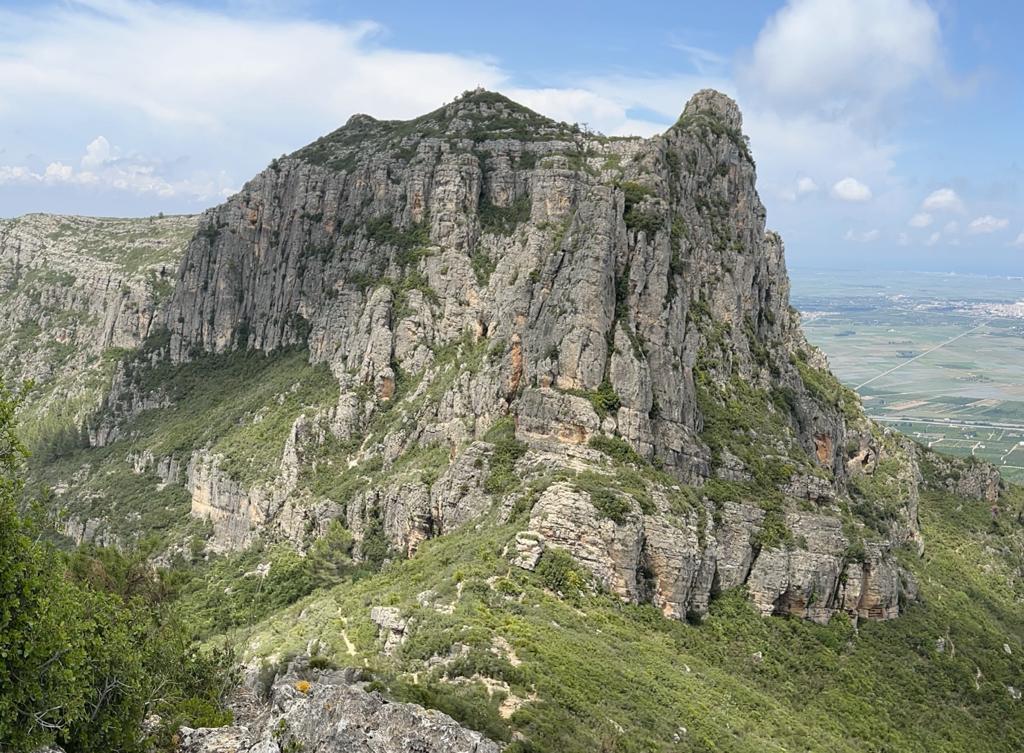
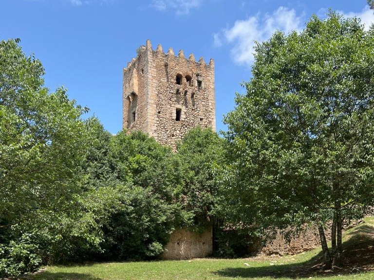
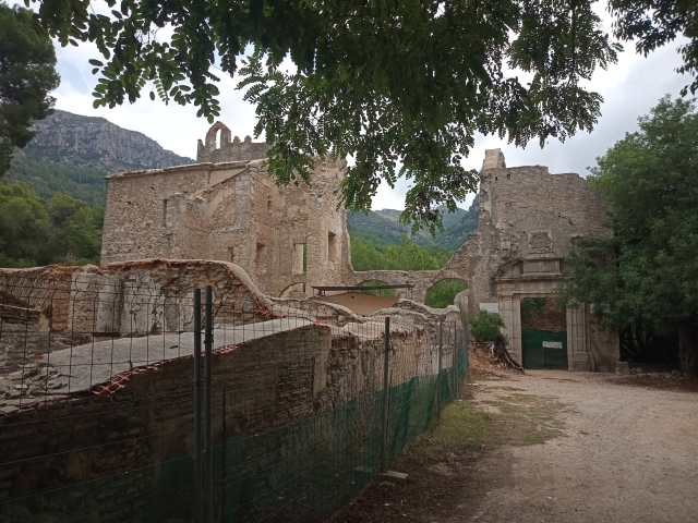
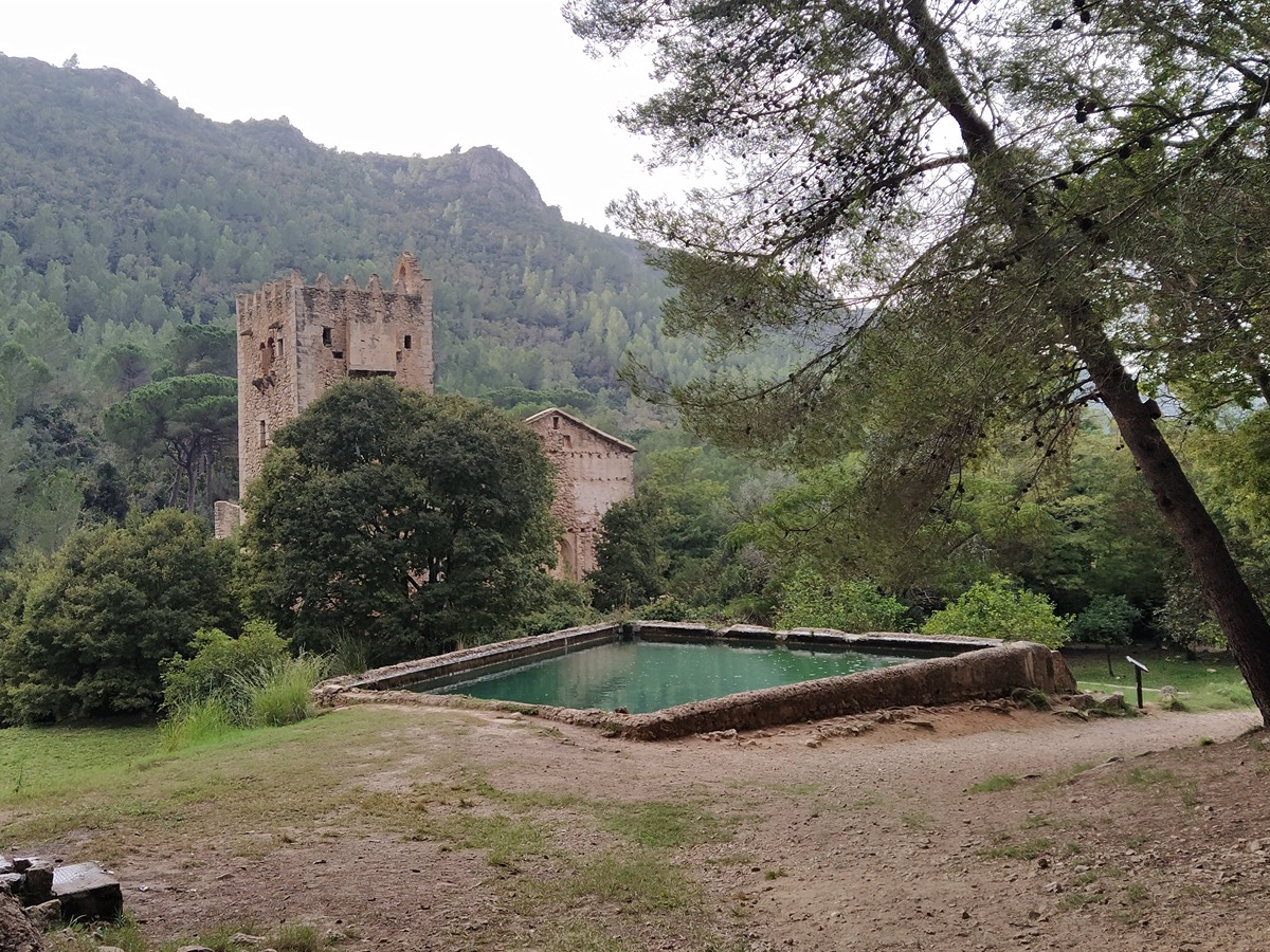
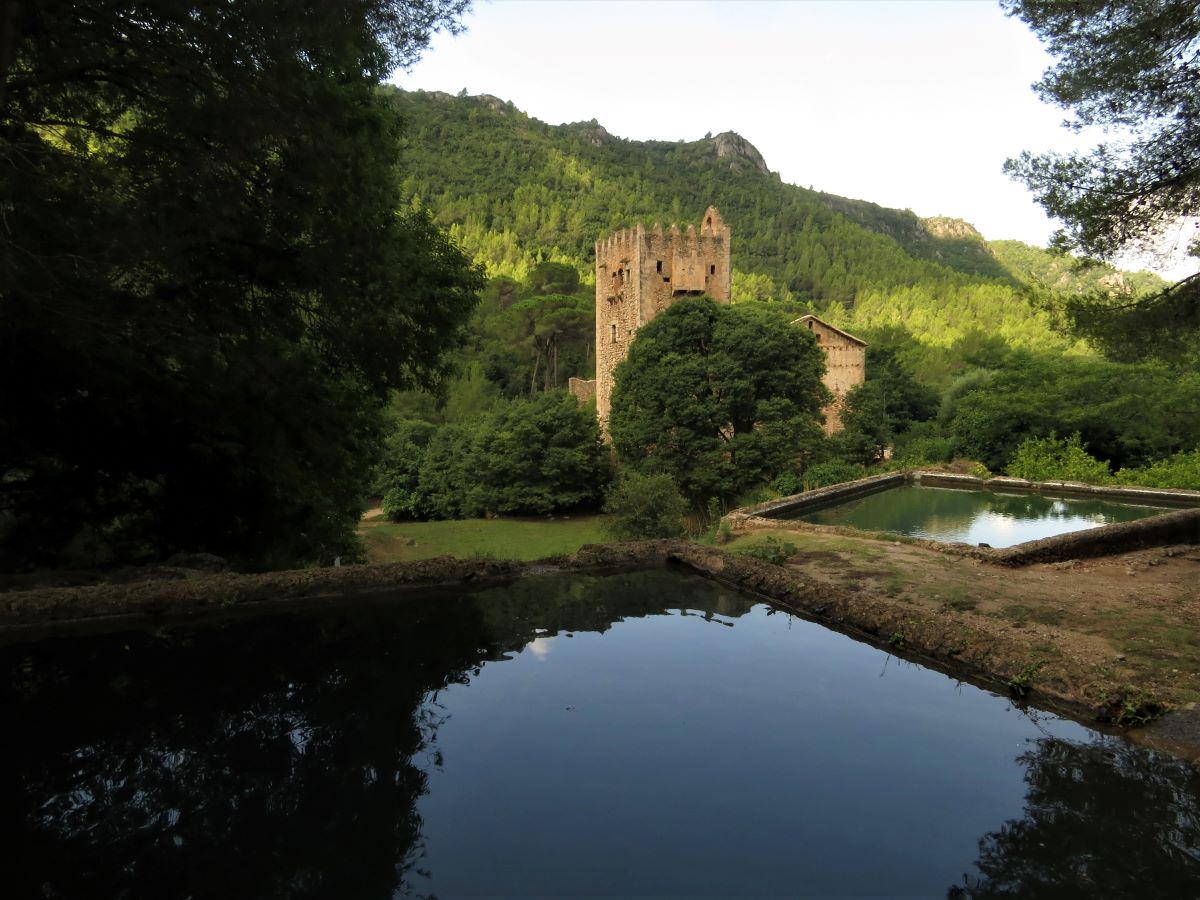
In the heart of the Local Natural Park of La Murta and La Casella, this trail allows you to go up one of the most iconic peaks of this valley, Creu del Cardenal. The ruins of the Jerónimo de Nuestra Señora de la Murta monastery, declared an Asset of Cultural Value, are the starting point for this trail.
Trail:
Loop with some overlapping out and back sections
Alternative routes and routes leading to nearby points of interest
PR-CV 334.1 ENLACE PR-CV 335
Promoter: Ayuntamiento de Alzira
Certification status: Positive quality control
Length: 1,30 km
Estimated walking time: 00:25:00
Elevation gain: 40 m
Elevation loss: 20 m
(0)
Other trails connecting with this trail
SL-CV 81 SENDA BOTÁNICA POR LA VALL DE LA MURTA
Promoter: Ayuntamiento de Alzira
Certification status: No quality controls
Reference municipality: Alzira
Length: 3,80 km
Estimated walking time: 01:25:00
Elevation gain: 225 m
Elevation loss: 225 m
(3)
SL-CV 82 SENDA HISTÒRICA PER LA VALL DE LA MURTA
Promoter: Ayuntamiento de Alzira
Certification status: Positive quality control
Reference municipality: Alzira
Length: 1,60 km
Estimated walking time: 00:30:00
Elevation gain: 115 m
Elevation loss: 5 m
(0)
GR 236 RUTA DE LOS MONASTERIOS - EL PASO DEL POBRE
Promoter: Ayuntamiento de Alzira
Certification status: See stages
Reference municipality: Gandia
Length: 77,30 km
Estimated walking time: 24:00:00
Elevation gain: 2.640 m
Elevation loss: 2.370 m
(0)
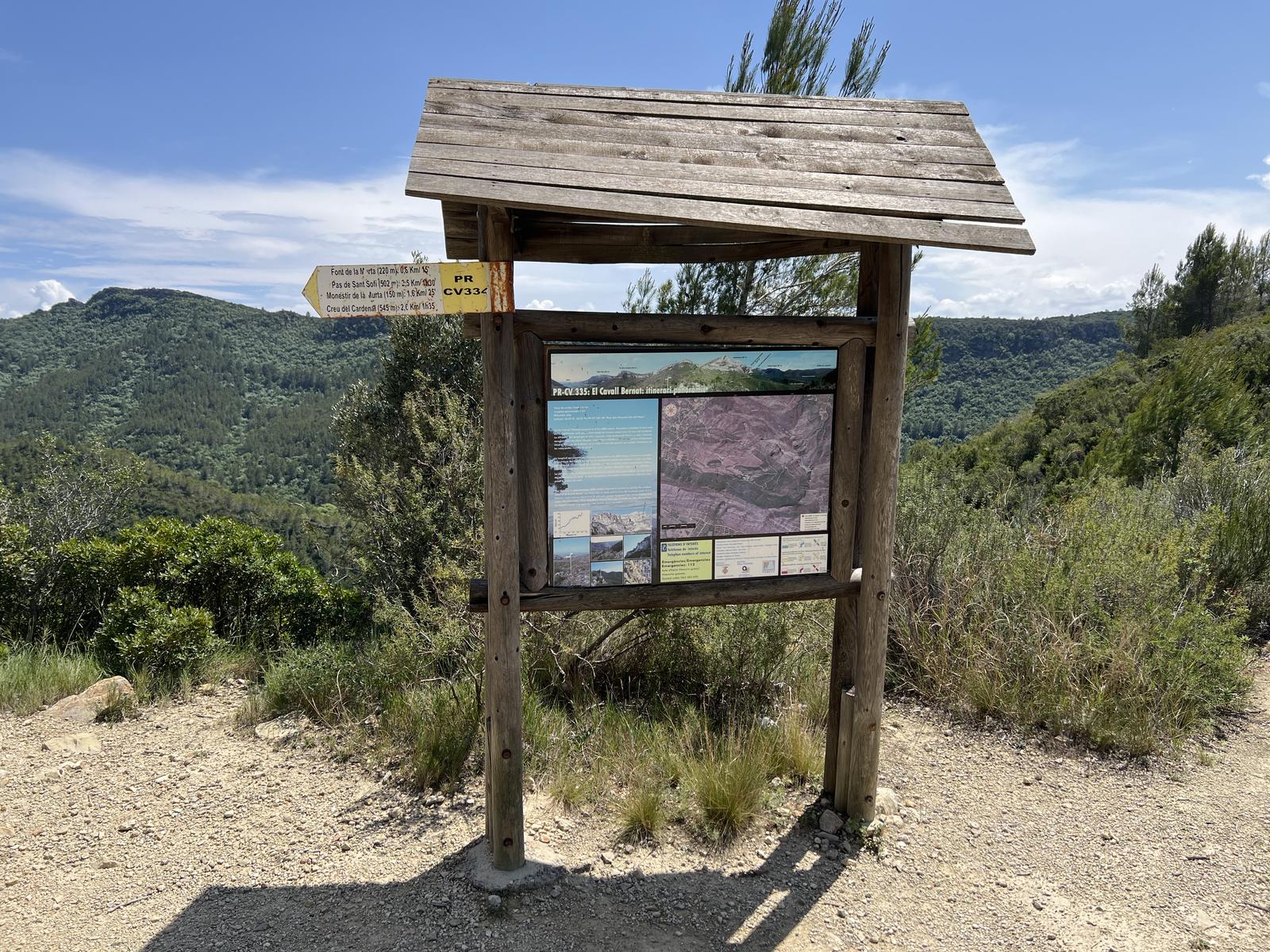
PR-CV 335 CAVALL BERNAT. ITINERARI PANORÀMIC
Promoter: Ayuntamiento de Alzira
Certification status: Positive quality control
Reference municipality: Alzira
Length: 5,30 km
Estimated walking time: 01:55:00
Elevation gain: 440 m
Elevation loss: 65 m
(1)