
PR-CV 335 CAVALL BERNAT. ITINERARI PANORÀMIC
Promoter: Ayuntamiento de Alzira
Certification status: Positive quality control
1 review
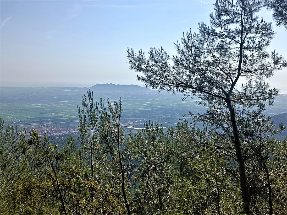
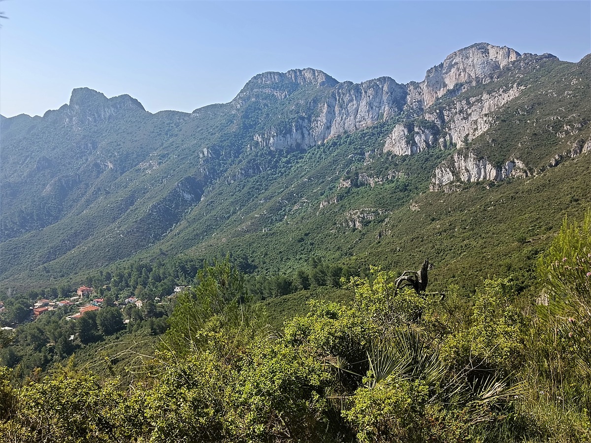
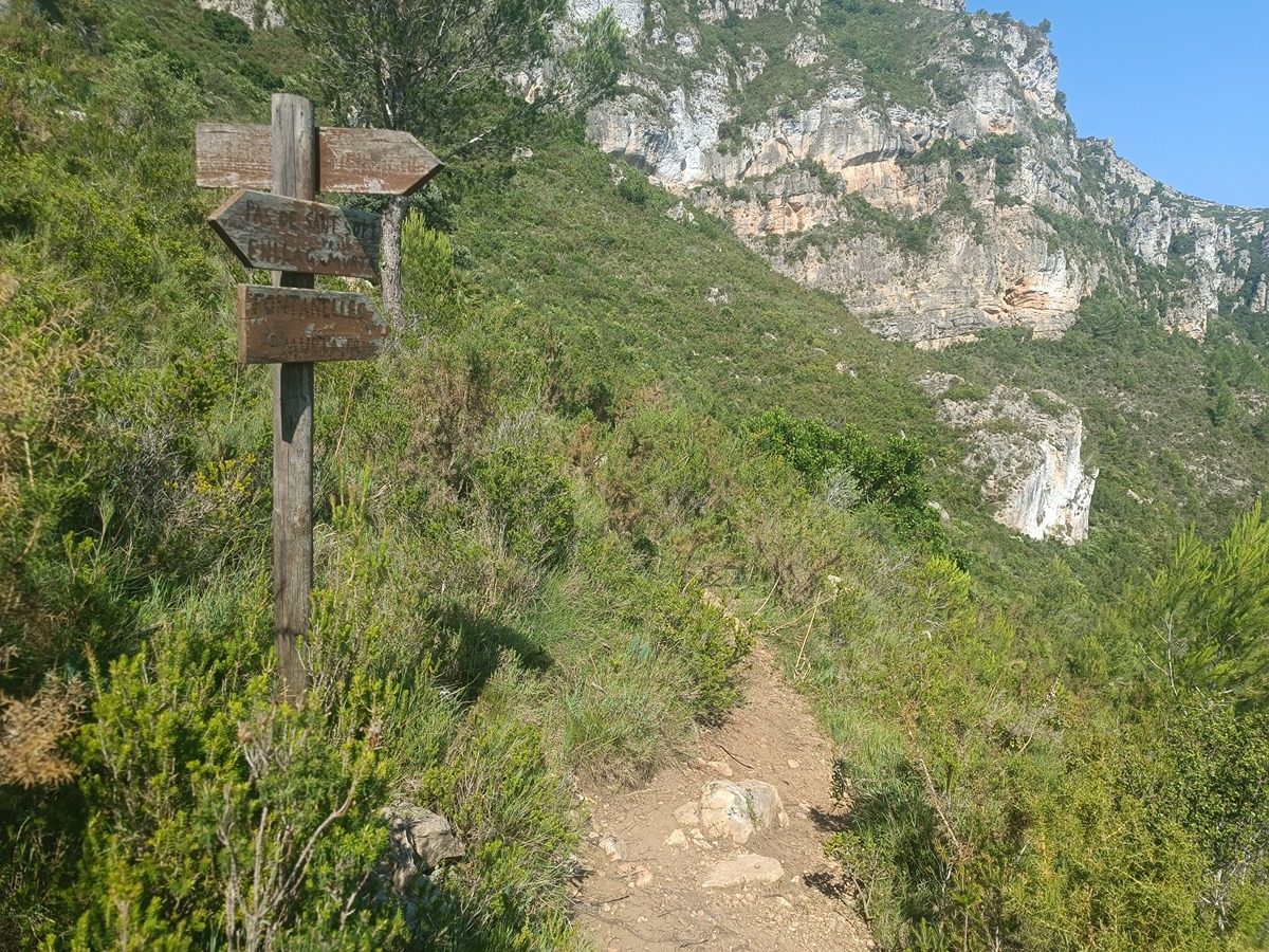
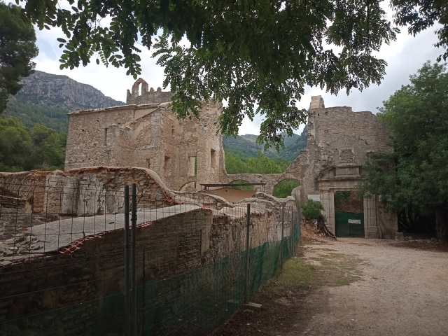
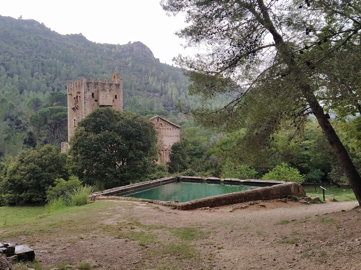
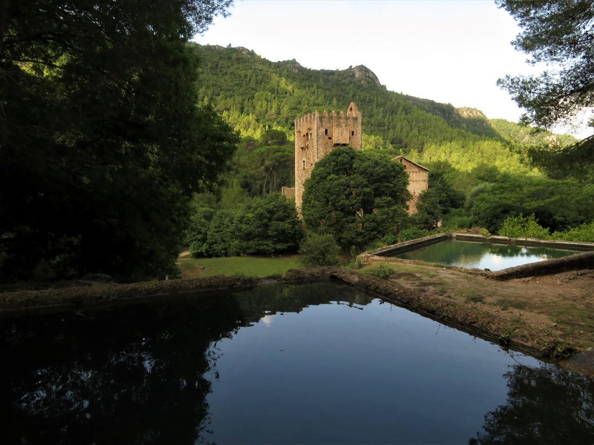
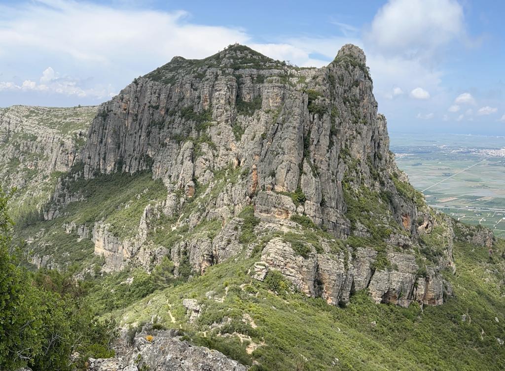
This trail goes through the green Local Natural Area of Interest of la Murta and la Casella running along the north face of Cavall Bernat just below its spectacular cliffs. It offers fantastic views of the Mediterranean with the Xúquer river and the mountain of Cullera at your feet and the Albufera of Valencia in the background.
Trail:
One way (point-to-point)
Other trails connecting with this trail
SL-CV 81 SENDA BOTÁNICA POR LA VALL DE LA MURTA
Promoter: Ayuntamiento de Alzira
Certification status: No quality controls
Reference municipality: Alzira
Length: 3,80 km
Estimated walking time: 01:25:00
Elevation gain: 225 m
Elevation loss: 225 m
(3)
SL-CV 82 SENDA HISTÒRICA PER LA VALL DE LA MURTA
Promoter: Ayuntamiento de Alzira
Certification status: Positive quality control
Reference municipality: Alzira
Length: 1,60 km
Estimated walking time: 00:30:00
Elevation gain: 115 m
Elevation loss: 5 m
(0)
GR 236 RUTA DE LOS MONASTERIOS - EL PASO DEL POBRE
Promoter: Ayuntamiento de Alzira
Certification status: See stages
Reference municipality: Gandia
Length: 77,30 km
Estimated walking time: 24:00:00
Elevation gain: 2.640 m
Elevation loss: 2.370 m
(0)
PR-CV 334 CREU DEL CARDENAL
Promoter: Ayuntamiento de Alzira
Certification status: Positive quality control
Reference municipality: Alzira
Length: 6,80 km
Estimated walking time: 02:50:00
Elevation gain: 525 m
Elevation loss: 525 m
(2)
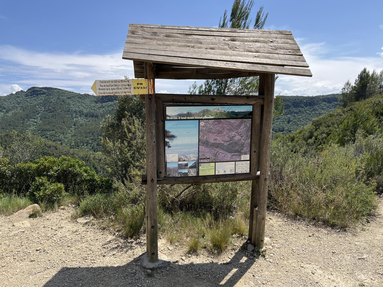
PR-CV 334.1 ENLACE PR-CV 335
Promoter: Ayuntamiento de Alzira
Certification status: Positive quality control
Length: 1,30 km
Estimated walking time: 00:25:00
Elevation gain: 40 m
Elevation loss: 20 m
(0)