ES / EN / VA

Rate this trail

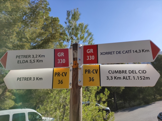
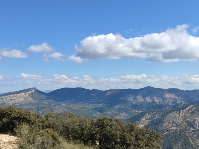
PR-CV 36 LA SILLA DEL CID

Promoter: Diputación de Alicante

Certification status: Positive quality control

0 reviews
Trail:
One way (point-to-point)
Technical data:
Length:
12,00 km
Estimated walking time:
02:50:00
Elevation gain:
680 m
Elevation loss:
680 m
MIDE ratings:
Level of natural risks:
1
Navigation on the trail:
2
Hiking difficulty:
2
Fitness level needed:
2

More information on Montaña Segura

Difficulty rating according to FEDME:
Unknown
End Point:
 
Useful information:
Date of certification:
30-01-2001
Date of the act of registration in the Public Register:
22-05-2007
Date of the last Quality Control:
april de 2021
Reference municipality:
District:
Province:
Alicante/Alacant
Cartography IGN MTN25:
871-1

Downloadable from the Catalogue of the IGN Map Library

See other trails of this promoter:
Protected Natural Spaces:

We advise you to look up the regulations and/or authorisations for using the trails in these conservation areas on the website of the Conselleria de Medio Ambiente, Agua, Infraestructuras y Territorio

  • Maigmó y Sierras de la Foia de Castalla (SPAB - Special Protection Area for Birds)
Key points of the route:

PR-CV 218 connection - Road - Start of the path - Hombro del Cid - Summit

Route description (only available in Spanish)

El sendero empieza  y a  230 metros encontramos el primer cruce, donde nos juntamos con el PR-CV 218 Assagador de Petrer. Seguimos por el camino asfaltado igual que estábamos, y a 150 metros de aquí nos separamos del PR-CV 218, nosotros giramos a la derecha para seguir el camino asfaltado, que ahora sube con mayor pendiente. Seguimos igualmente por este camino, pasando entre casas de campo, y a 1.570 metros desde nuestro comienzo giramos a la derecha y trás una ligera bajada continua ascendiendo hasta la conocida chabola del forestal, y ya tras recorrer 2.670 metros, por fin cogemos una senda, Esta senda es la que nos llevará en un ascenso fuerte pero no complicado hasta la cumbre

Downloads:

Beware! Navigation devices may fail, batteries may run out of power and devices may break down. Do not use only electronic means to track your activities in the mountains; they must be used as a complement to the map and compass. Get some proper training and enjoy the mountains.

Other trails connecting with this trail
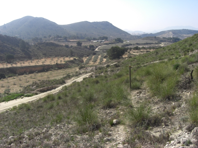