Rate this trail

PR-CV 368 FONT DE CENTELLA

Promoter: Ayuntamiento de Orba

Certification status: Positive quality control

0 reviews

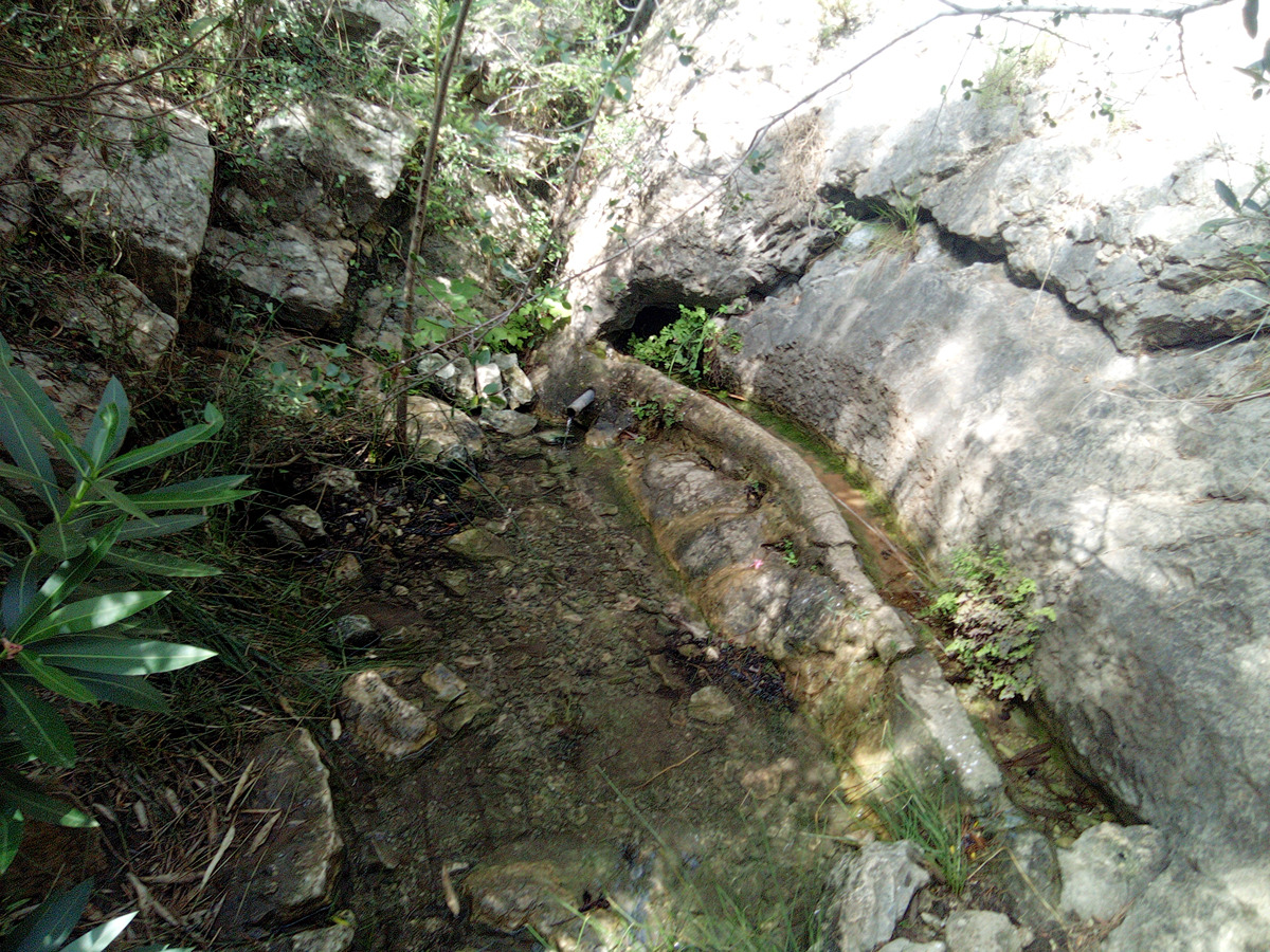
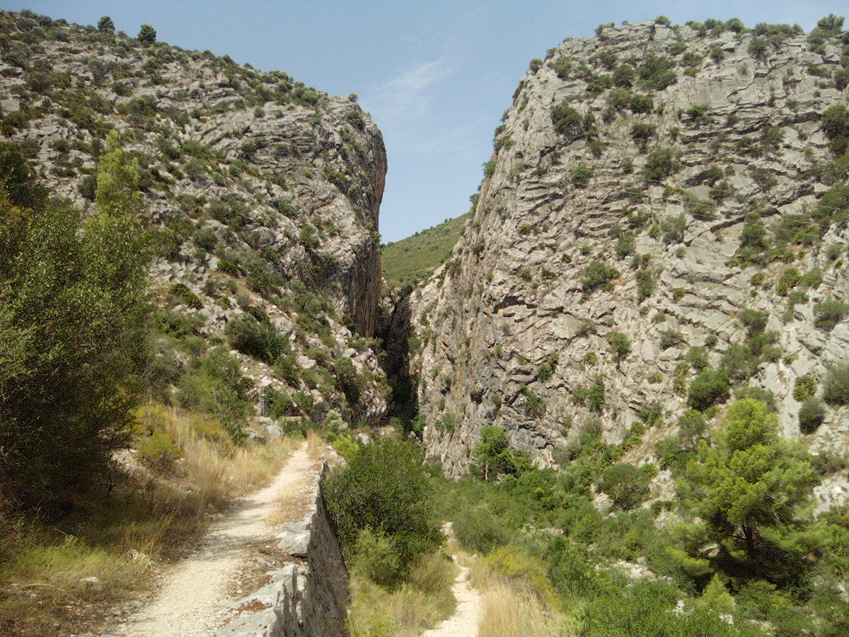
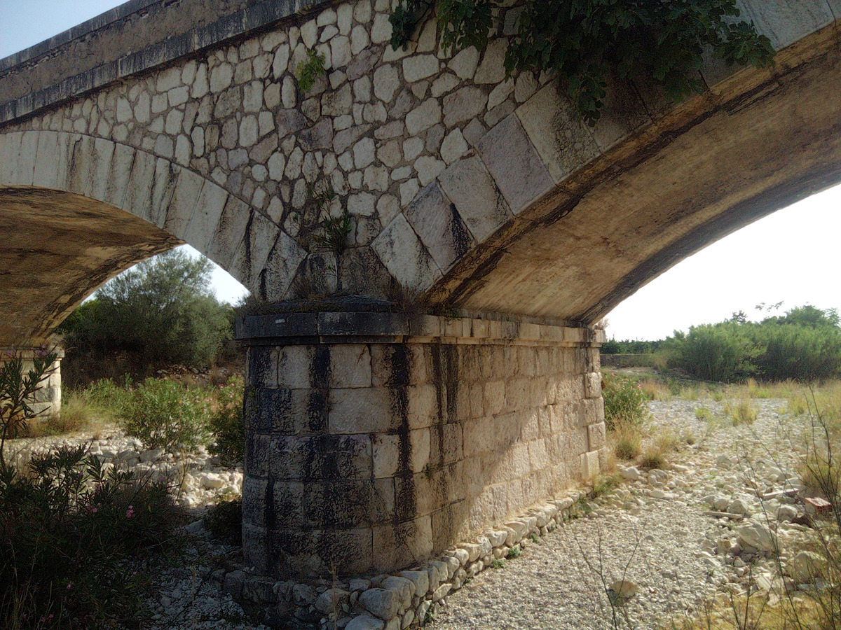
This is a circular trail that runs through the Orba mountain range. This route includes some of the most representative areas such as the Girona river, the Centella spring and the narrow pass of the Isbert dam. Enjoy its magnificent landscapes and follow the old bridle paths, which are still very visible today.

Trail:
Loop with some overlapping out and back sections
Technical data:
Length:
12,90 km
Estimated walking time:
04:05:00
Elevation gain:
475 m
Elevation loss:
475 m
MIDE ratings:
Level of natural risks:
2
Navigation on the trail:
2
Hiking difficulty:
2
Fitness level needed:
3

More information on Montaña Segura

Difficulty rating according to FEDME:
Unknown
Starting point:
Useful information:
Date of certification:
15-04-2009
Date of the act of registration in the Public Register:
20-10-2015
Date of the last Quality Control:
august de 2023
Reference municipality:
Otros municipios por los que transcurre:
District:
Province:
Alicante/Alacant
Cartography IGN MTN25:
0822-1

Downloadable from the Catalogue of the IGN Map Library

See other trails of this promoter:
Protected Natural Spaces:

We advise you to look up the regulations and/or authorisations for using the trails in these conservation areas on the website of the Conselleria de Medio Ambiente, Agua, Infraestructuras y Territorio

  • Muntanyes de la Marina (SPAB - Special Protection Area for Birds)
  • Valls de la Marina (SIC - Site of Community Interest)
  • Valls de la Marina (SAC - Special Area of Conservation)
Key points of the route:

Orba - CV-715 Bridge - Camino de Tormos (path) - Casa de la Solana (old rural house) - Font Centella (spring) - Road to the Isbert dam - Casa del Pantano (old rural house) - Azagador de la Plana (cattle track) - Orba

Route description (only available in Spanish)

Desde la plaza de España, bajamos por la calle Pintor Ruano hasta la carretera CV-715. Tras cruzar la carretera por dos veces, pasaremos por el cementerio municipal y por un camino asfaltado hasta llegar al cauce del río Girona. Pasaremos por debajo de la CV-715, primero por pista y luego por sendero, para cruzar el cauce hacia la derecha. Continuaremos por caminos de tierra y asfalto hasta coger el barranco de Conange y al poco, llegar a la casa de la Solana.

Desde la Casa tenemos la subida por un sendero en bonito zigzag hasta la fuente de Centelles. El descenso es por el mismo sendero, pero al llegar a la Solana, iremos a mano derecha por un sendero que baja por un reguero de lluvia hasta el camino que lleva a la presa de Isbert. En el camino iremos a mano derecha, sin dejar la pista principal, hasta llegar al frontal del estrecho de Isbert para cruzar el cauce del río y, ya en dirección este, alcanzar el túnel de la antigua presa.

Tras pasar el túnel llegaremos a la casa del Pantano desde donde nos dirigimos, ahora por carretera, a una bifurcación que nos vuelve a bajar al cauce del río. Tras llegar al cauce y pasarlo seguiremos un sendero por el margen izquierdo hasta confluir casi con el sendero de subida inicial, pero en nuestro caso seguiremos a derecha para llegar a la carretera de Fontilles.

Desde este punto, y por caminos asfaltados llegaremos a la urbanización la Plana, pasaremos por el polideportivo municipal y finalmente, de nuevo a la Plaza de España.

Downloads:

Beware! Navigation devices may fail, batteries may run out of power and devices may break down. Do not use only electronic means to track your activities in the mountains; they must be used as a complement to the map and compass. Get some proper training and enjoy the mountains.

Other trails connecting with this trail
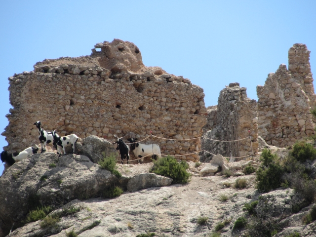