Rate this trail

SL-CV 92 EL CASTELLET D' ORBA

Promoter: Ayuntamiento de Orba

Certification status: Positive quality control

0 reviews

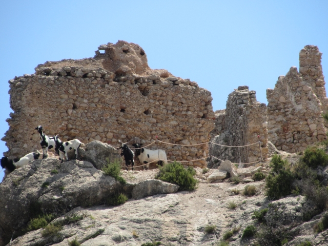
Thanks to its privileged location, this route allows you to enjoy beautiful landscapes with views of the town of Orba, the Segària and Mediodía mountain ranges, and even the Mediterranean coastline. As its name suggests, this route takes you to the historic fortress of Castellet d'Orba, used by the Moors who rebelled against the expulsion decree of 1609. In short, it is a small route that combines landscapes, nature and culture.

Trail:
Loop with some overlapping out and back sections
Technical data:
Length:
4,90 km
Estimated walking time:
01:55:00
Elevation gain:
320 m
Elevation loss:
320 m
MIDE ratings:
Level of natural risks:
2
Navigation on the trail:
2
Hiking difficulty:
2
Fitness level needed:
2

More information on Montaña Segura

Difficulty rating according to FEDME:
Unknown
Starting point:
Useful information:
Date of certification:
10-04-2008
Date of the act of registration in the Public Register:
20-10-2015
Date of the last Quality Control:
march de 2024
Reference municipality:
Otros municipios por los que transcurre:
District:
Province:
Alicante/Alacant
Cartography IGN MTN25:
0822-1

Downloadable from the Catalogue of the IGN Map Library

See other trails of this promoter:
Key points of the route:

Orba - Font de la Xopena (spring) - Fork in the path (there and back) - Castellet d'Orba (fort) - Portet de Murla (col) - Camino de Murla a Orba (path) - Fork in the path (there and back) - Orba

Route description (only available in Spanish)

Saliendo del centro de Orba, por su lateral izquierdo, iremos primero por el carrer Bonaire, luego por el carrer Riu-Raus y seguidamente por el carrer Xopena hasta llegar a la carretera CV-715. La cruzaremos, viendo rápidamente un poste señalizador, que nos marca la subida a la font de la Xopera. Un poco después de la fuente, llegaremos a la bifurcación del tramo circular del sendero.

Siguiendo por la izquierda, ascenderemos bordeando una vaguada por izquierda (sentido de subida) hasta llegar a una pista forestal donde deberemos ir a la izquierda siguiendo la pista. Antes de llegar a la carretera CV-715, por la pista, veremos un sendero que entra a la sierra a mano derecha. Este sendero, en ascenso directo, nos llevará a la cumbre del Tossalet, donde se encuentran las ruinas del castell d'Orba.

Bajando hacia el oeste por una zona de roca llegaremos al port de Murla, donde el sendero coge el antiguo camino de Murla a Orba. Pasada la zona de mayor descenso encontraremos una bifurcación de pistas, donde deberemos ir por la derecha cruzando la vaguada hasta encontrar un sendero que nos dejará de nuevo en la bifurcación del tramo circular. Desde este punto, y por el mismo camino, volveremos a la Plaza de España en Orba.

Downloads:

Beware! Navigation devices may fail, batteries may run out of power and devices may break down. Do not use only electronic means to track your activities in the mountains; they must be used as a complement to the map and compass. Get some proper training and enjoy the mountains.

Other trails connecting with this trail
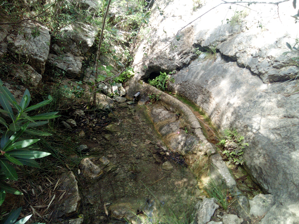