Rate this trail

PR-CV 393 LA PEÑA DEL RODENO

Promoter: Ayuntamiento de Higueruelas

Certification status: Conditioned quality control

0 reviews

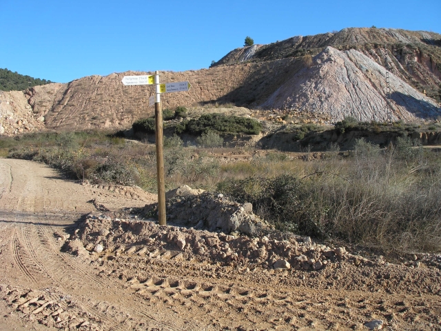
Following the inspection carried out by trail technicians, this trail has been declared of "limited adequacy" as a result of the faults detected in the signage. These include inadequate horizontal signs (paint markers) and/or vertical ones (trailheads and information boards) or lacking direction markers that do not provide sufficient information to properly follow the route. The builder of this trail has been informed of the situation.
For safety reasons and during maintenance work, it is advised to be extremely careful while taking this route. Furthermore, mountain sports entail risks associated with the activity itself and the environment where they take place, for which any person is fully liable. For this reason, hikes need to be planned properly and adequate training, equipment and sensible use of the trails are required.

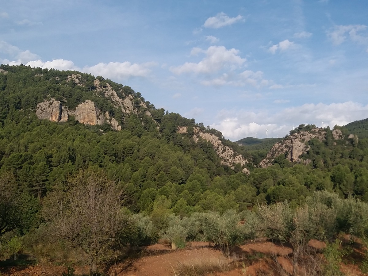
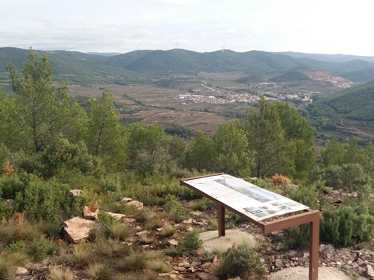
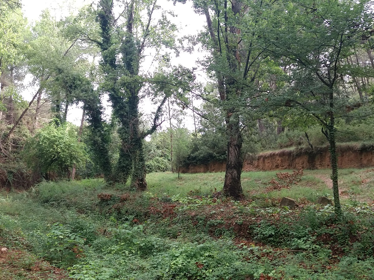
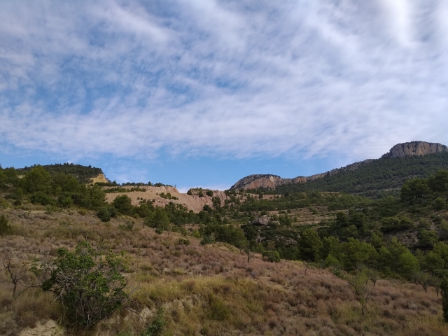
This route allows you to discover the landscapes of the Peña del Rodeno peak along traditional paths. In addition to its geological, botanical and ethnological value, it allows you to enjoy the views of the municipal district of Higueruelas.

Trail:
Loop with some overlapping out and back sections
Technical data:
Length:
10,90 km
Estimated walking time:
03:25:00
Elevation gain:
335 m
Elevation loss:
335 m
MIDE ratings:
Level of natural risks:
2
Navigation on the trail:
2
Hiking difficulty:
2
Fitness level needed:
3

More information on Montaña Segura

Difficulty rating according to FEDME:
Unknown
Useful information:
Date of certification:
15-02-2011
Date of the act of registration in the Public Register:
20-10-2015
Date of the last Quality Control:
september de 2023
Reference municipality:
Otros municipios por los que transcurre:
District:
Province:
Valencia/València
Cartography IGN MTN25:
0666-2

Downloadable from the Catalogue of the IGN Map Library

See other trails of this promoter:
Protected Natural Spaces:

We advise you to look up the regulations and/or authorisations for using the trails in these conservation areas on the website of the Conselleria de Medio Ambiente, Agua, Infraestructuras y Territorio

  • Alto Turia y Sierra del Negrete (SPAB - Special Protection Area for Birds)
Key points of the route:

Higueruelas - Fuente del Ladrón (spring) - Solana de la Peña de las Estacas (sunny side) - Detour to the Peña del Rodeno - Collado Catalina (col) - Mirador del Rodeno (viewpoint) - Detour to the Peña del Rodeno (peak) - Camino de la Loma (path) - Barranco de la Tejería (ravine) - Higueruelas

Route description (only available in Spanish)

Salimos de Higueruelas por el camino de Chelva, hasta cruzar el barranco de la Loma, donde tomaremos el camino del Rodeno a nuestra izquierda hasta llegar a la fuente del Ladrón y su área recreativa. El sendero sigue paralelo al barranco de Barcelón hasta llegar al camino Solana, que tomaremos para subir en fuerte ascenso para posteriormente llanear hasta la pista forestal de camino de Ramblas.

Seguimos hasta una bifurcación a nuestra derecha, punto del tramo de ida y vuelta a la peña del Rodeno pasando antes por el collado de Catalina.

El descenso se realiza por el mismo camino. Una vez en el cruce seguimos ahora por la derecha. La bajada, paralela al barranco del Collado de Catalina continúa entre campos de cultivos hasta enlazar con el camino de la Loma. A partir de este punto el itinerario sigue la vía pecuaria de la vereda de Losa por el barranco de la Tejería, donde encontraremos el pino Viga Horcajo, hasta Higueruelas.

Downloads:

Beware! Navigation devices may fail, batteries may run out of power and devices may break down. Do not use only electronic means to track your activities in the mountains; they must be used as a complement to the map and compass. Get some proper training and enjoy the mountains.

Comments:

Other trails connecting with this trail