Cambiar idioma a español / Cambiar idioma a english / Cambiar idioma a valencià

Rate this trail

SL-CV 67 SENDERO DEL PINO REBOLLÓN Y ANTIGUO YESAR

Promoter: Ayuntamiento de Higueruelas

Certification status: Conditioned quality control

0 reviews

Following the inspection carried out by trail technicians, this trail has been declared of "limited adequacy" as a result of the faults detected in the signage. These include inadequate horizontal signs (paint markers) and/or vertical ones (trailheads and information boards) or lacking direction markers that do not provide sufficient information to properly follow the route. The builder of this trail has been informed of the situation.
For safety reasons and during maintenance work, it is advised to be extremely careful while taking this route. Furthermore, mountain sports entail risks associated with the activity itself and the environment where they take place, for which any person is fully liable. For this reason, hikes need to be planned properly and adequate training, equipment and sensible use of the trails are required.
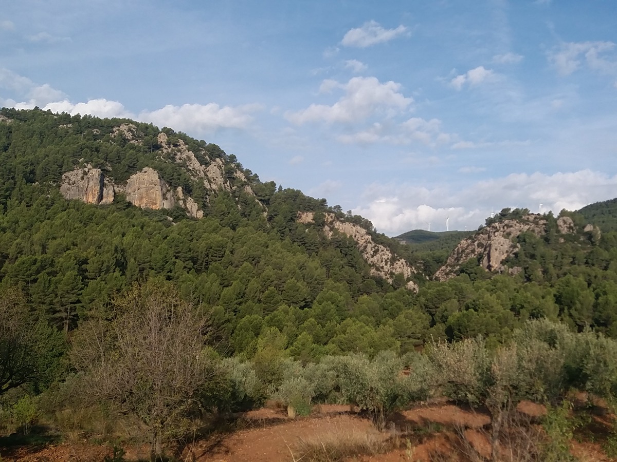
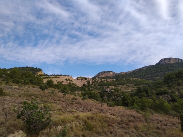
The SL-CV 67 runs through the surroundings of Higueruelas, combining pine forests and former crop fields. Highlights include the iconic Pino Rebollón and the old gypsum quarry, reflecting the natural and cultural heritage of the area.

Trail:
Loop
Technical data:
Length:
5,00 km
Estimated walking time:
01:30:00
Elevation gain:
100 m
Elevation loss:
100 m
MIDE ratings:
Level of natural risks:
2
Navigation on the trail:
2
Hiking difficulty:
2
Fitness level needed:
2

More information at Montaña Segura

Difficulty rating according to FEDME:
Unknown
Useful information:
Date of certification:
02-01-2006
Date of the act of registration in the Public Register:
20-02-2008
Date of the last Quality Control:
october de 2025
Reference municipality:
District:
Province:
Valencia/València
Cartography IGN MTN25:
0666-2

You can download them from the IGN Map Library Catalog

See other trails of this promoter:
Protected Natural Spaces:

It is recommended to consult the regulations and/or authorizations for the use of trails in these protected natural areas on the website of the Regional Ministry of Environment, Water, Infrastructure, and Territory

  • Alto Turia y Sierra del Negrete (SPAB - Special Protection Area for Birds)
Weather information:
Nearest AVAMET weather station
Key points of the route:

Higueruelas – Cementerio (cemetery) - Camino del Salto (path) - Pino Rebollón (monumental pine tree) - La Yesera (old plaster factory) - Fuente del Ladrón. PR-CV 393 connection (spring) - Camino del Rodeno (path) - Barranco de la Loma (ravine) - Camino de Chelva (path) - Higueruelas

Route description (only available in Spanish)

Cruzamos el puente del barranco de la Tejería y nos dirigimos a mano derecha en dirección al lavadero para atravesar el casco urbano de Higueruelas por la calle Antonio Martínez Moreno y la calle Calvario que nos conduce al cementerio, ya en las afueras. Seguimos por el camino del Salto que continuamos un buen trecho ente campos de cultivo y cruzar el barranco de la Loma. Un poco más adelante encontramos la entrada al pino Rebollón. Continuamos por senda hasta una antigua yesera. Ya en sentido descendiente cruzamos el camino de Chelva para seguir por una senda que entre pinos nos conduce a la fuente del Ladrón. Remontamos un pequeño tramo de escalones que nos lleva al camino de Chelva y que dejamos a los pocos metros para tomar un camino, de nuevo entre campos, para enlazar de nuevo con el camino de Cheva. Cruzamos el barranco de la Loma y entramos a Higueruelas por la avenida de Domeño.

Downloads:

Beware! Navigation devices may fail, batteries may run out of power and devices may break down. Do not use only electronic means to track your activities in the mountains; they must be used as a complement to the map and compass. Get some proper training and enjoy the mountains.

Comments:

Other trails connecting with this trail