
PR-CV 425 CAMÍ DEL MIRADOR DEL COLL DE RATES
Promoter: Mancomunitat de la Vall de Pop
Certification status: Positive quality control
0 reviews
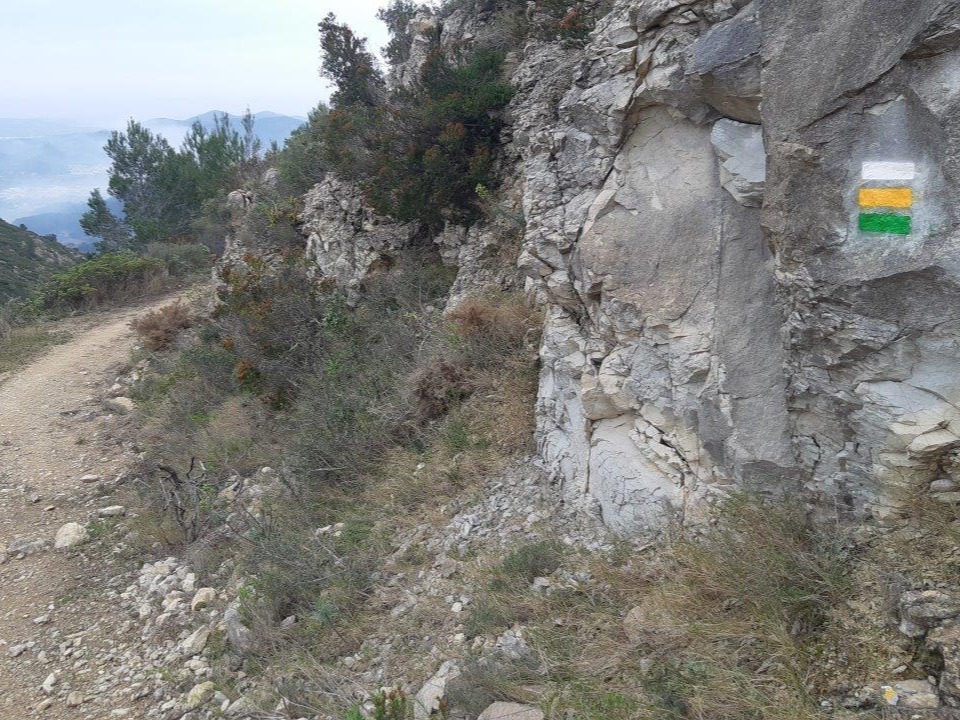
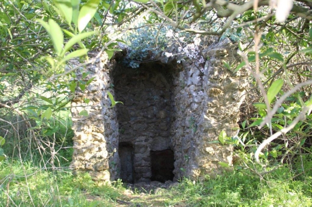
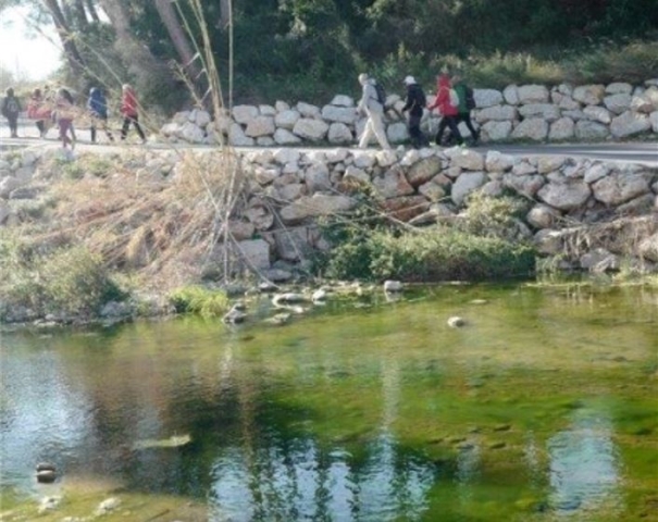
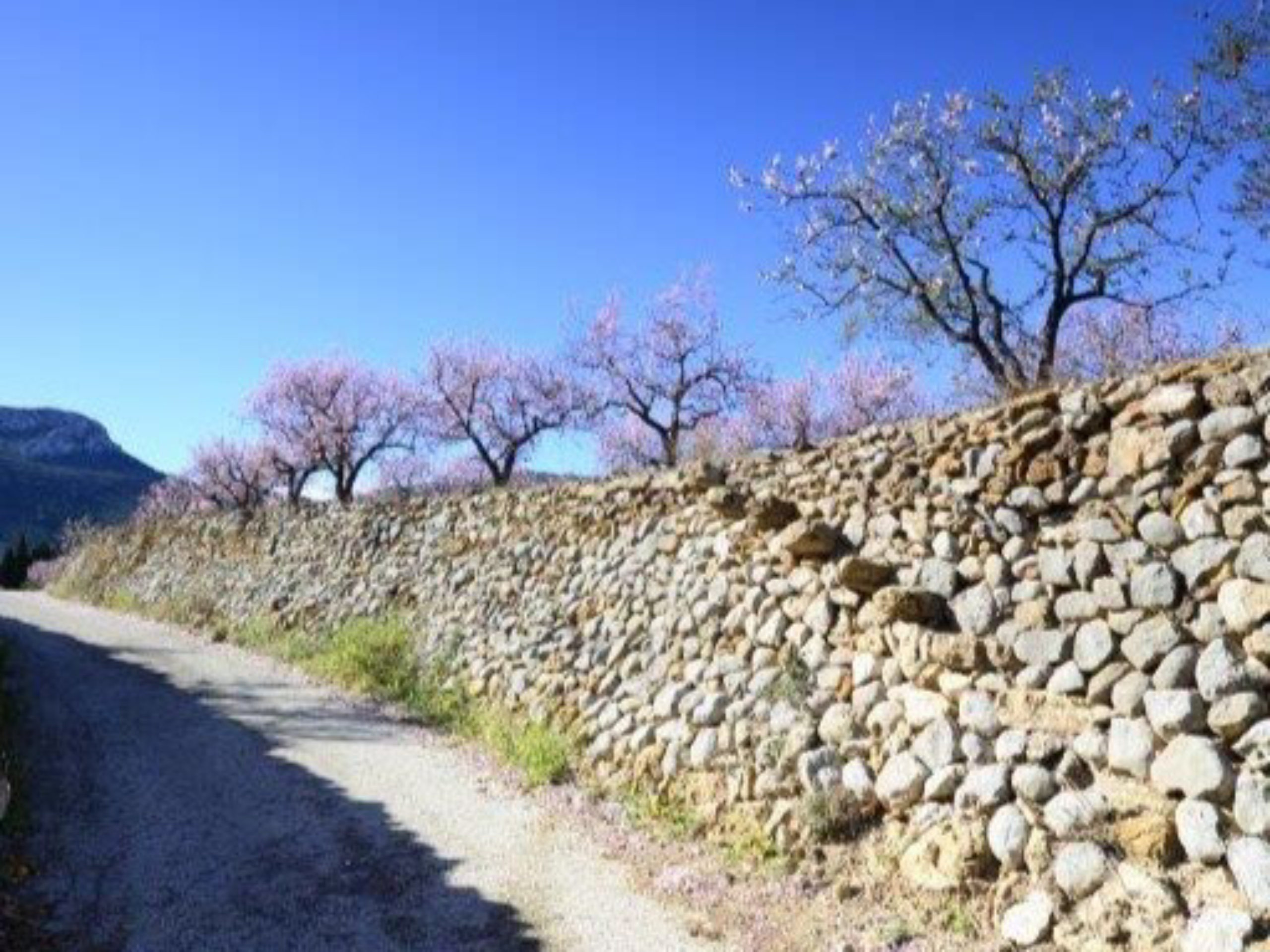
In this excursion we will cross the Mosquera district and we will know part of the heritage that our ancestors have left us since Islamic times, such as the hermitage and the Mosquera cistern and the pouet de les Navaixes.
Trail:
One way (point-to-point)
Alternative routes and routes leading to nearby points of interest
PR-CV 425 CONEXIÓN CAMÍ DE LA PANSA CON MOSQUERA
Promoter: Mancomunitat de la Vall de Pop
Certification status: Positive quality control
Reference municipality: Alcalalí
Length: 1,40 km
Estimated walking time: 00:25:00
Elevation gain: 25 m
Elevation loss: 30 m
(0)
Other trails connecting with this trail
SL-CV 119 XALÓ - CAMÍ TÀRBENA
Promoter: Ayuntamiento de Xaló
Certification status: Conditioned quality control
Reference municipality: Xaló
Length: 5,11 km
Estimated walking time: 01:50:00
Elevation gain: 415 m
(0)
PR-CV 158 SIERRA DEL CARRASCAL DE PARCENT
Promoter: Ayuntamiento de Parcent
Certification status: Positive quality control
Reference municipality: Parcent
Length: 14,70 km
Estimated walking time: 05:15:00
Elevation gain: 765 m
Elevation loss: 765 m
(1)