Rate this trail

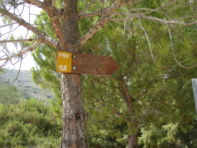
PR-CV 158 SIERRA DEL CARRASCAL DE PARCENT

Promoter: Ayuntamiento de Parcent

Certification status: Positive quality control

1 review

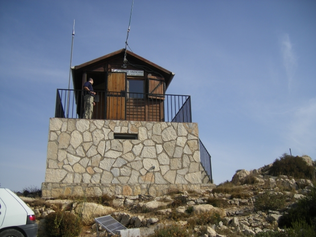
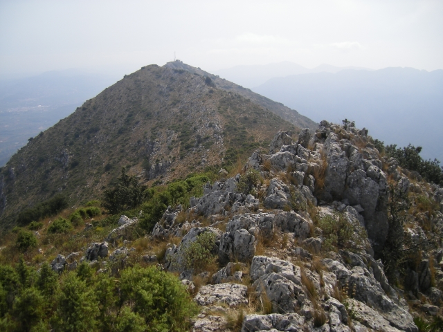
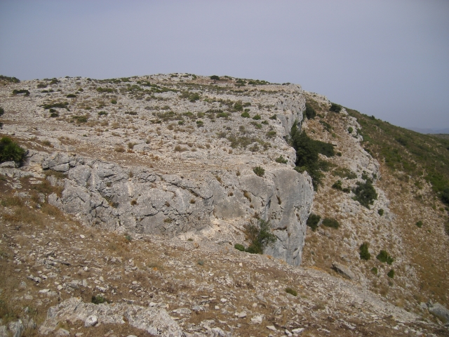
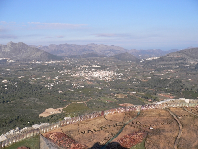
Route in which we will enjoy different landscapes, the lower part between dry crops, with almond trees, olive trees and vines, and stone walls characteristic of the area. The camí de les voltes will take us to the Coll de Rates, the beginning of the Carrascal range, dividing the two Marinas, with excellent views from its crest.
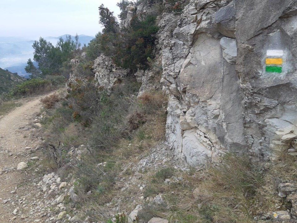
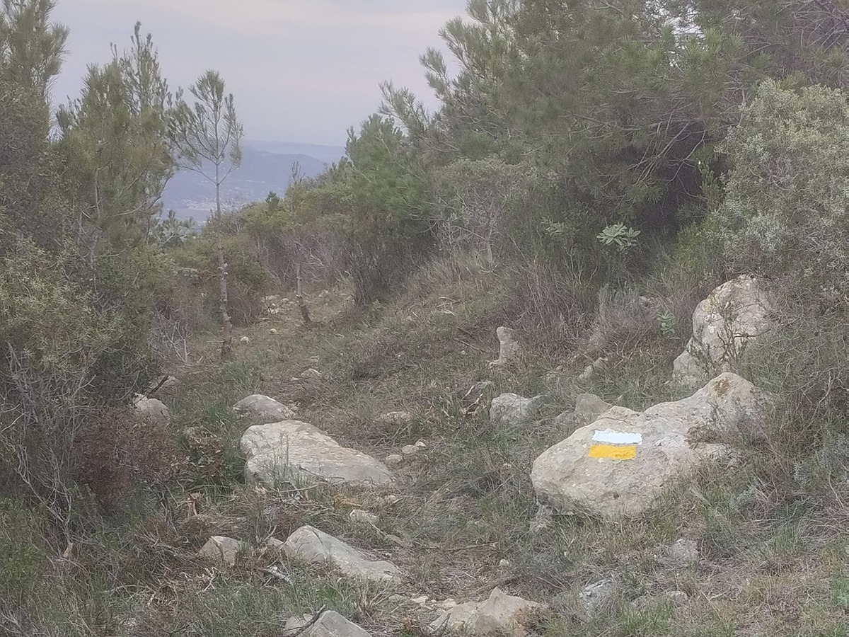
Trail:
Loop
Technical data:
Length:
14,70 km
Estimated walking time:
05:15:00
Elevation gain:
765 m
Elevation loss:
765 m
MIDE ratings:
Level of natural risks:
2
Navigation on the trail:
2
Hiking difficulty:
2
Fitness level needed:
3

More information on Montaña Segura

Difficulty rating according to FEDME:
Unknown
Interest Tags:
Trail with geological interest

Useful information:
Date of certification:
15-07-1999
Date of the act of registration in the Public Register:
22-05-2007
Date of the last Quality Control:
july de 2022
Reference municipality:
Otros municipios por los que transcurre:
District:
Province:
Alicante/Alacant
Cartography IGN MTN25:
0822-3

Downloadable from the Catalogue of the IGN Map Library

See other trails of this promoter:
Key points of the route:

Parcent - Pou del coll de Rates (well) - Costera de Blanque-Ros (path). Connection PR-CV 425 y SL-CV 119 - Mirador del coll de Rates (viewpoint) - Caseta vigilancia forestal (guard forest house)- Alt del Carrascal (peak) - Pouet de la mina de Ferro (well - Cova dels Coloms (cave) - Font de la Foia (spring) – CV-715 (road) – Parcent

Route description (only available in Spanish)
Salimos de Parcent, por la calle de la Almazara y carretera de Parcent a Alcalalí, seguimos la carretera dirección a Alcalalí, cogiendo el camino del Figueral hasta la coveta dels Albarzers, desde donde subimos por una senda a la Costera del Blanquer y Coll de Rates, cruzamos la carretera CV-715, seguimos el camino cementado que nos lleva a las antenas de la Lloma Grosa, seguimos el cordal de la Serra del Carrascal de Parcent, pasando por el tossal d’Alpolupi, giramos en dirección este para descender por estrecha senda que nos lleva al Pouet de la Mina de Ferro, seguimos descendiendo dirección sur hasta llegar a la Font de la Foia, seguimos la pista unos 200 metros y tomamos otra a la izquierda, bordeando el barranco de las Cabras que nos llevará a la carretera de Parcent-Tárbena, la atravesamos y continuamos por el camino y rambla hasta atravesar la carretera de Alcalalí para continuar por las calles del pueblo hasta el punto de inicio.
Downloads:

Beware! Navigation devices may fail, batteries may run out of power and devices may break down. Do not use only electronic means to track your activities in the mountains; they must be used as a complement to the map and compass. Get some proper training and enjoy the mountains.

Other trails connecting with this trail