SL-CV 119 XALÓ - CAMÍ TÀRBENA
Promoter: Ayuntamiento de Xaló
Certification status: Conditioned quality control
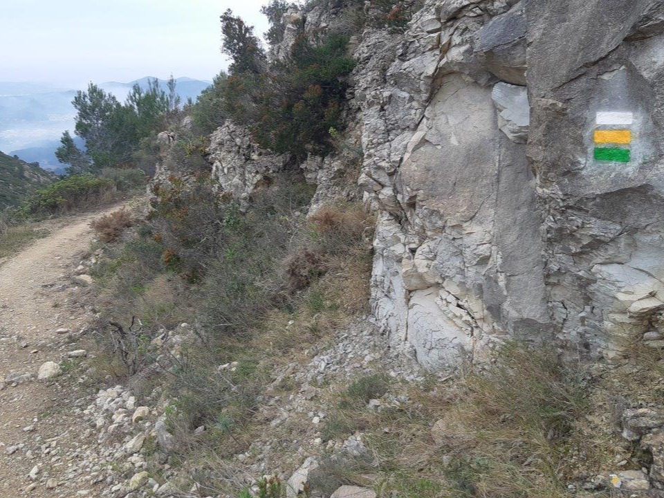
Following the inspection carried out by trail technicians, this trail has been declared of "limited adequacy" as a result of the faults detected in the signage. These include inadequate horizontal signs (paint markers) and/or vertical ones (trailheads and information boards) or lacking direction markers that do not provide sufficient information to properly follow the route. The builder of this trail has been informed of the situation.
For safety reasons and during maintenance work, it is advised to be extremely careful while taking this route. Furthermore, mountain sports entail risks associated with the activity itself and the environment where they take place, for which any person is fully liable. For this reason, hikes need to be planned properly and adequate training, equipment and sensible use of the trails are required.
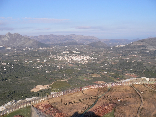
An old path that used to connect Xaló with Tàrbena and leads to the Coll de Rates viewpoint. A pleasant walk among dry stone terraces that are home to the traditional crops of the area. It also offers beautiful views from the viewpoint of the Vall de Pop.
Other trails connecting with this trail
PR-CV 158 SIERRA DEL CARRASCAL DE PARCENT
Promoter: Ayuntamiento de Parcent
Certification status: Positive quality control