Rate this trail

PR-CV 460 R2 EL MOLLET

Promoter: Ayuntamiento de Sant Joan de Moró

Certification status: Valid

0 reviews

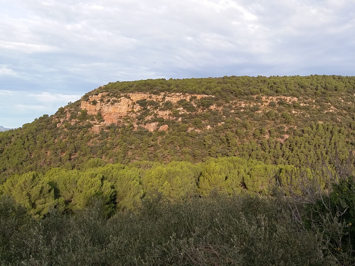
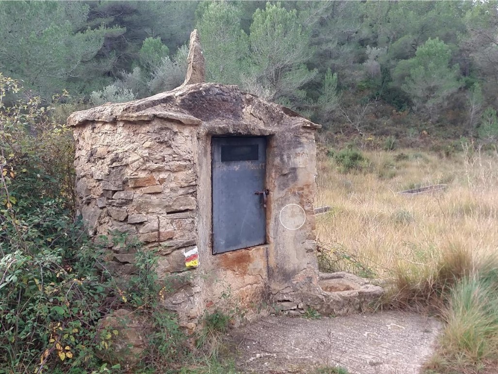
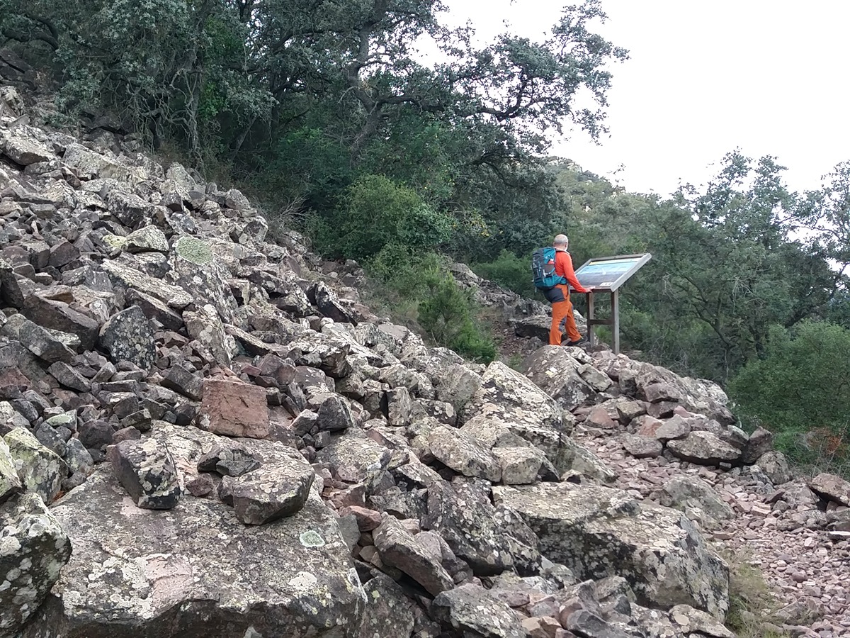
This surprising route is located in the Mollet Local Natural Park, an enclave of great botanical richness—with holm oak groves and Mediterranean forest—and cultural richness—with charcoal pits and the archaeological site of Mollet, making it a destination of interest for hikers.

Trail:
Loop
Technical data:
Length:
7,40 km
Estimated walking time:
02:40:00
Elevation gain:
400 m
Elevation loss:
400 m
MIDE ratings:
Level of natural risks:
2
Navigation on the trail:
2
Hiking difficulty:
3
Fitness level needed:
2

More information on Montaña Segura

Difficulty rating according to FEDME:
Unknown
Useful information:
Date of certification:
21-12-2023
Date of the last Quality Control:
december de 2023
Reference municipality:
District:
Province:
Castellón/Castelló
Cartography IGN MTN25:
0616-1; 0616-3

Downloadable from the Catalogue of the IGN Map Library

See other trails of this promoter:
Protected Natural Spaces:

We advise you to look up the regulations and/or authorisations for using the trails in these conservation areas on the website of the Conselleria de Medio Ambiente, Agua, Infraestructuras y Territorio

  • El Mollet (Municipal Natural Site)
Key points of the route:

Ermita de Sant Vicent (chapel) - Mas de Roc (estate) - GR 33 connection. Camino de la Serra del Portell (path) - Pou del Mollet (well) - GR 33 connection. Mas de Panero (estate) - Coll del Mollet (col) - Senda de les Carboneres (path) - Cova Forcat (cave) - Tossal del Mollet (hill) - Coll del Mollet (col) - Mas de Mollet (estate) - Barranc del Molí Roig (ravine) - Ermita de Sant Vicent (chapel)

Route description (only available in Spanish)

Desde la explanada de la ermita de San Vicente tomamos una pequeña senda en sentido ascendente por la umbría del Corm del Portell. Pasamos por el mas de Roc y llegamos al camino de la Sierra que seguimos a la izquierda. Al poco enlazamos con otra pista por donde viene el GR 33. Continuamos junto con el GR y pasamos por el pou del Mollet antes de llegar al mas de Panero, donde dejamos el GR 33.

Continuamos recto hasta el collado del Mollet, con bancos y paneles informativos del paraje. En este punto empieza el segundo bucle. Seguimos por la derecha. Después de recorrer unos 200 metros dejamos el camino para subir por la senda de las carboneras por los restos de este antiguo oficio. Pasamos por la cueva Forcat y alguna carbonera más antes de llegar al tossal del Mollet, punto más alto del recorrido.

Seguimos la senda, ahora en descenso y cerca de los restos del yacimiento arqueológico del Mollet, para darle la vuelta en la montaña hasta aparecer de nuevo en el collado Ahora continuamos por la derecha. Pasaremos por el mas del Mollet y un abrigo bajo una gran piedra antes de bajar y cruzar el barranco del Molí Roig y ascender hasta la ermita de San Vicente.

Downloads:

Beware! Navigation devices may fail, batteries may run out of power and devices may break down. Do not use only electronic means to track your activities in the mountains; they must be used as a complement to the map and compass. Get some proper training and enjoy the mountains.

Other trails connecting with this trail