Rate this trail

PR-CV 471 SENDA DEL VÉRTIGO

Promoter: Ayuntamiento de Mogente

Certification status: Valid

1 review

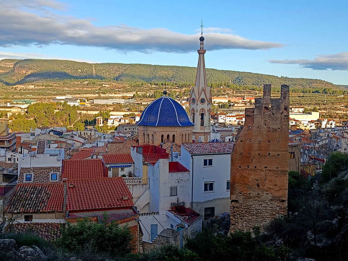
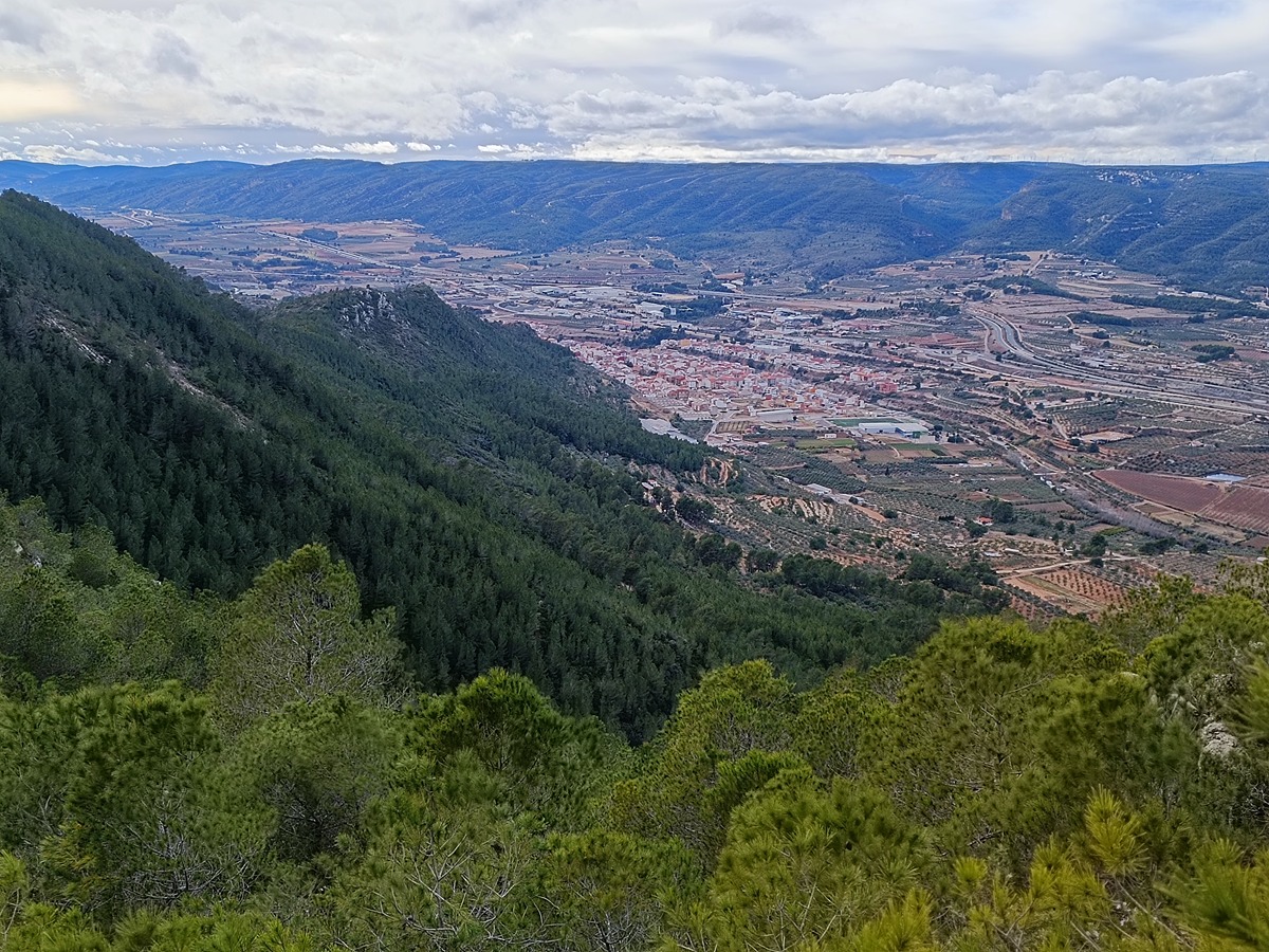
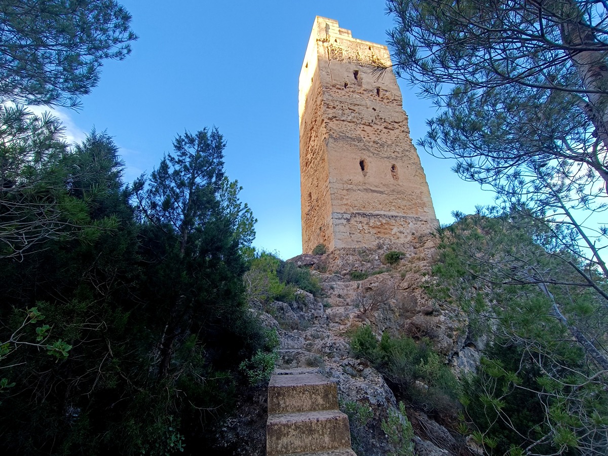
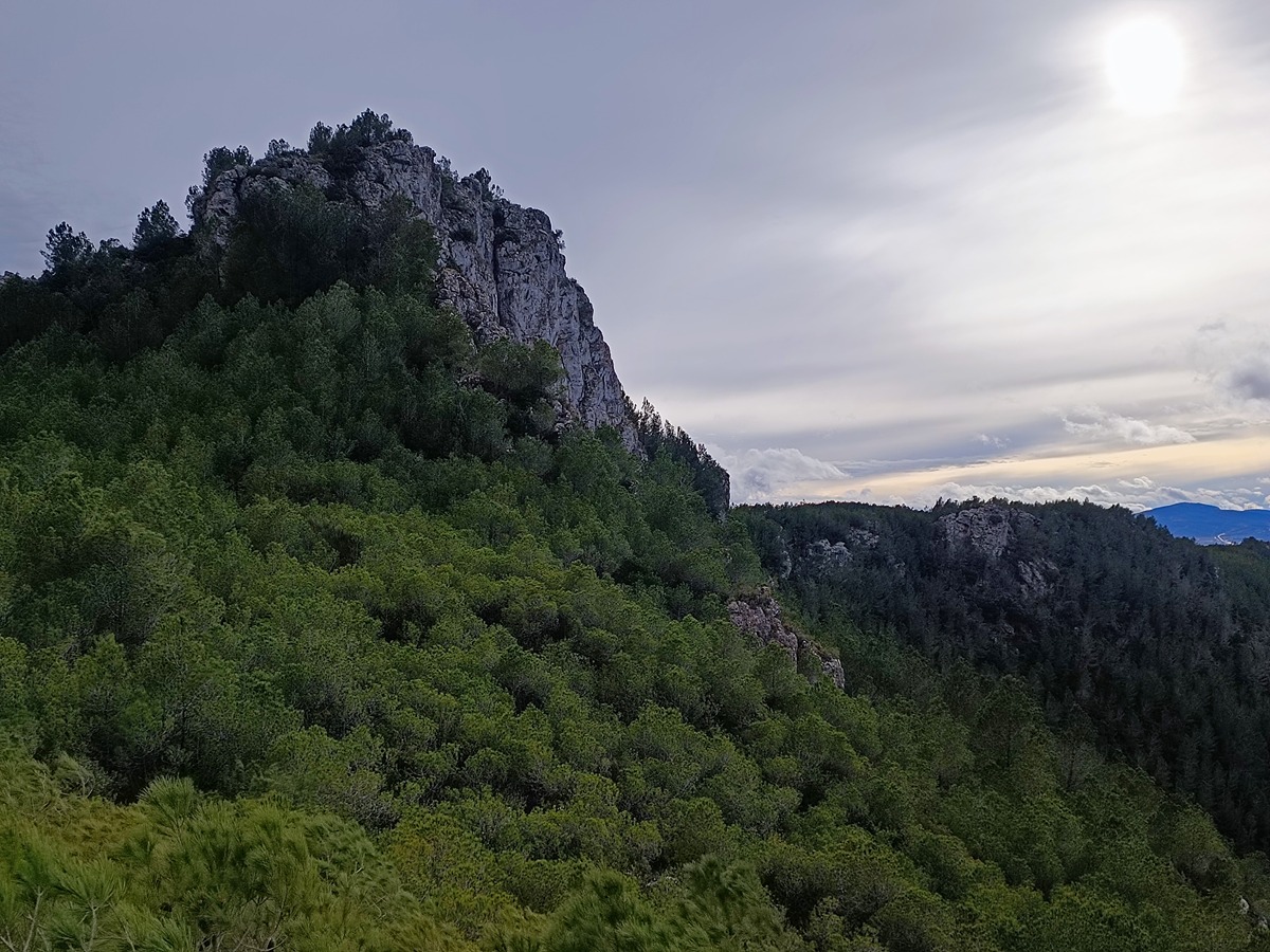
Tour through the mountains of Moixent by the Pedregal hill to the Pedregal high with fantastic views of the region of the Costera visiting the Mora tower and the old part of the town.

Trail:
Loop with some overlapping out and back sections
Technical data:
Length:
12,00 km
Estimated walking time:
04:05:00
Elevation gain:
515 m
Elevation loss:
515 m
MIDE ratings:
Level of natural risks:
1
Navigation on the trail:
2
Hiking difficulty:
2
Fitness level needed:
3

More information on Montaña Segura

Difficulty rating according to FEDME:
Unknown
Useful information:
Date of certification:
22-03-2024
Reference municipality:
District:
Province:
Valencia/València
Cartography IGN MTN25:
0794-3

Downloadable from the Catalogue of the IGN Map Library

See other trails of this promoter:
Key points of the route:

Mogente – Lavadero público – Torre Mora (tower) – Alto de la Foieta del Cirerer (summit) – Camp Redó (place) – Alto del Pedregal (summit) – Umbría de Bellús (shady side) – Mogente

Route description (only available in Spanish)

Salimos del polideportivo de Moixent recorriendo las calles del casco antiguo pasando por la iglesia hasta llegar al barranc del Bosquet, a la altura del lavadero municipal. Subimos por las escaleras y por la senda próxima al castillo hasta la torre Mora.

La senda asciende hacia la cresta de la sierra por la que caminamos hasta llegar a la primera bifurcación en el alto de la Foieta del Cirerer. Seguimos recto subiendo y en la segunda bifurcación en el paraje de Camp Redó tomamos el camino de Camp Redó por la izquierda hasta llegar a la senda que por la izquierda sube en trazado aéreo a las antenas del alt del Pedregal.

Caminamos sobre la loma del Pedregal hasta llegar a una pista por la que continuamos a la senda de Camp Redó. Caminando por esta senda, al poco estamos de nuevo en la segunda bifurcación, que tomamos por la izquierda para volver a la primera bifurcación. Esta vez continuamos por la derecha para bajar por la senda de la Umbría de Bellús de vuelta a Moixent.

Downloads:

Beware! Navigation devices may fail, batteries may run out of power and devices may break down. Do not use only electronic means to track your activities in the mountains; they must be used as a complement to the map and compass. Get some proper training and enjoy the mountains.

Other trails connecting with this trail