Rate this trail

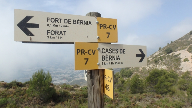
PR-CV 48 CAMÍ DEL FORT

Promoter: Ayuntamiento de Callosa d'en Sarrià

Certification status: Positive quality control

0 reviews

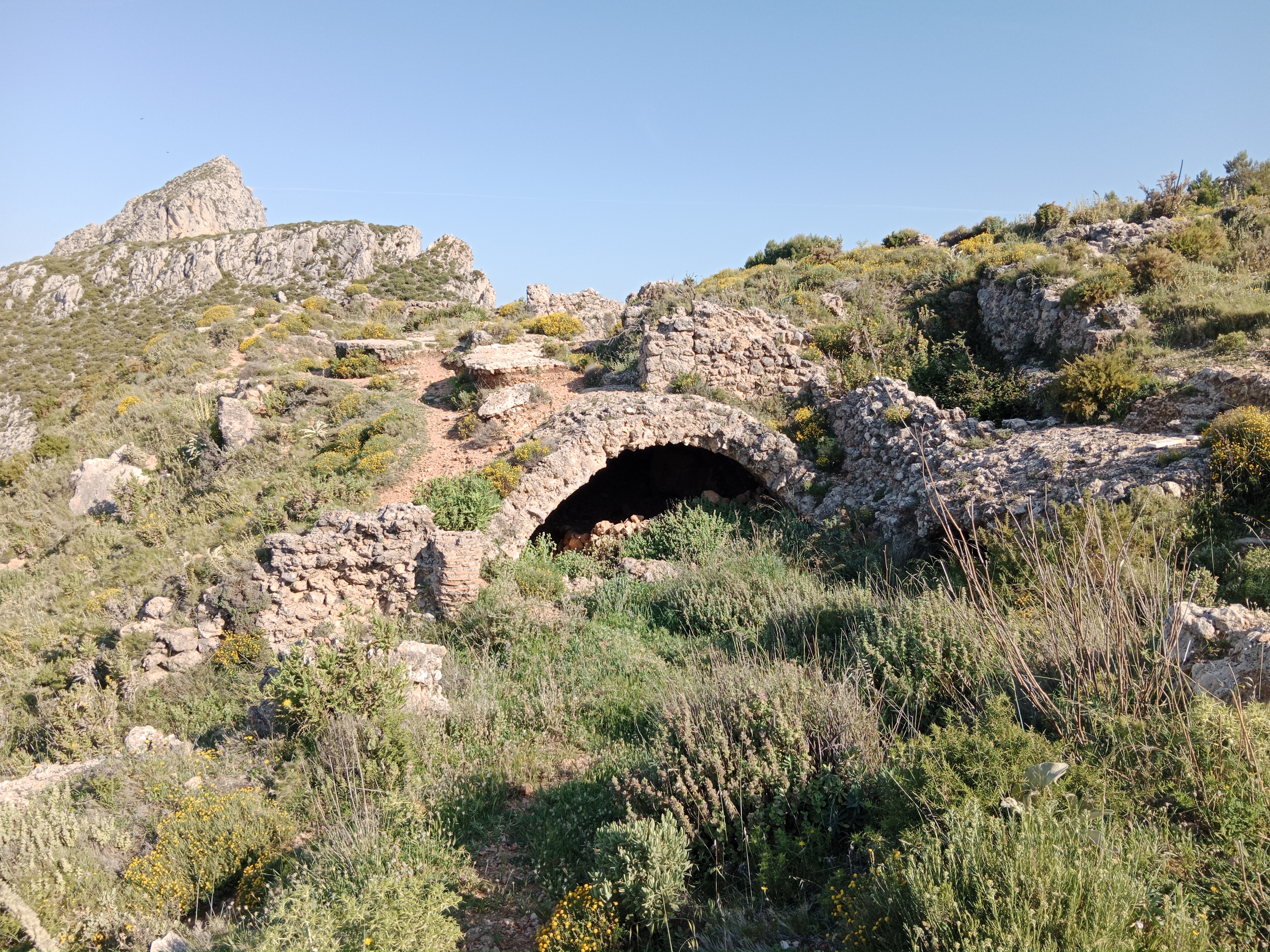
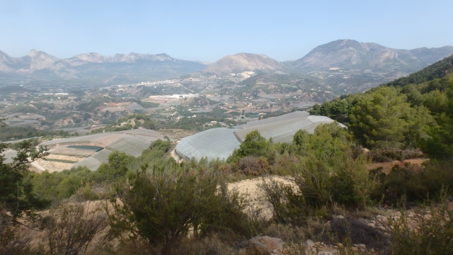
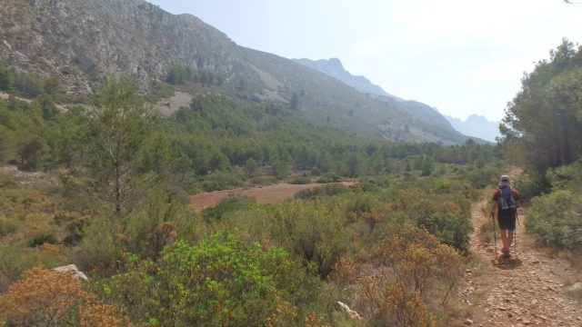
This route goes up the western slope of the imposing Bèrnia mountain range to the equally spectacular Renaissance fort of Bèrnia.

Trail:
One way (point-to-point)
Technical data:
Length:
5,40 km
Estimated walking time:
02:20:00
Elevation gain:
660 m
Elevation loss:
10 m
MIDE ratings:
Level of natural risks:
1
Navigation on the trail:
2
Hiking difficulty:
2
Fitness level needed:
2

More information on Montaña Segura

Difficulty rating according to FEDME:
Unknown
Useful information:
Date of certification:
04-02-2001
Date of the act of registration in the Public Register:
22-05-2007
Date of the last Quality Control:
june de 2023
Reference municipality:
District:
Province:
Alicante/Alacant
Cartography IGN MTN25:
0848-1

Downloadable from the Catalogue of the IGN Map Library

See other trails of this promoter:
Protected Natural Spaces:

We advise you to look up the regulations and/or authorisations for using the trails in these conservation areas on the website of the Conselleria de Medio Ambiente, Agua, Infraestructuras y Territorio

  • Muntanyes de la Marina (SPAB - Special Protection Area for Birds)
  • Serres del Ferrer i Bèrnia (SIC - Site of Community Interest)
  • Sierras del Ferrer y Bèrnia (SAC - Special Area of Conservation)
Weather information:
Key points of the route:

Camino de Segarra (path) - Racó de Guixa - Cova del Bardalet (cave) - Pla de Saragossa (plain) - Fort de Bèrnia (fort) (connection PR-CV 7)

Route description (only available in Spanish)

Comenzamos por la pista asfaltada en ascenso hasta llegar a una bifurcación que debemos seguir por la izquierda de forma ascendente. Encontramos otra bifurcación donde continuamos por la izquierda y seguidamente un giro a la derecha, ya por pista de tierra. Continuamos por ésta hasta llegar al inicio de una senda a la izquierda en ascenso encarando ya la ladera de la sierra Bèrnia con la pendiente más pronunciada del recorrido.

Más adelante alcanzamos la Cueva del Bardalet en un punto en el que empezaremos a llanear. Seguimos la senda evidente y el recorrido nos da un respiro. Este tramo pasa a ser pista y pronto llegamos al corral del Bancal Roig. Caminamos en llano hasta que tras una curva a la derecha en una vaguada llegamos a un claro donde la pista comienza un ligero descenso. Alcanzamos el Pla de Saragossa y giramos a la izquierda por una senda ascendente que de forma inequívoca nos conducirá hasta el enlace del PR-CV 7 y al fuerte de Bèrnia.

Downloads:

Beware! Navigation devices may fail, batteries may run out of power and devices may break down. Do not use only electronic means to track your activities in the mountains; they must be used as a complement to the map and compass. Get some proper training and enjoy the mountains.

Other trails connecting with this trail