Rate this trail

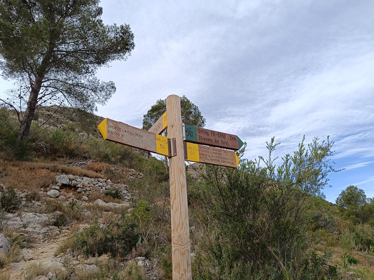
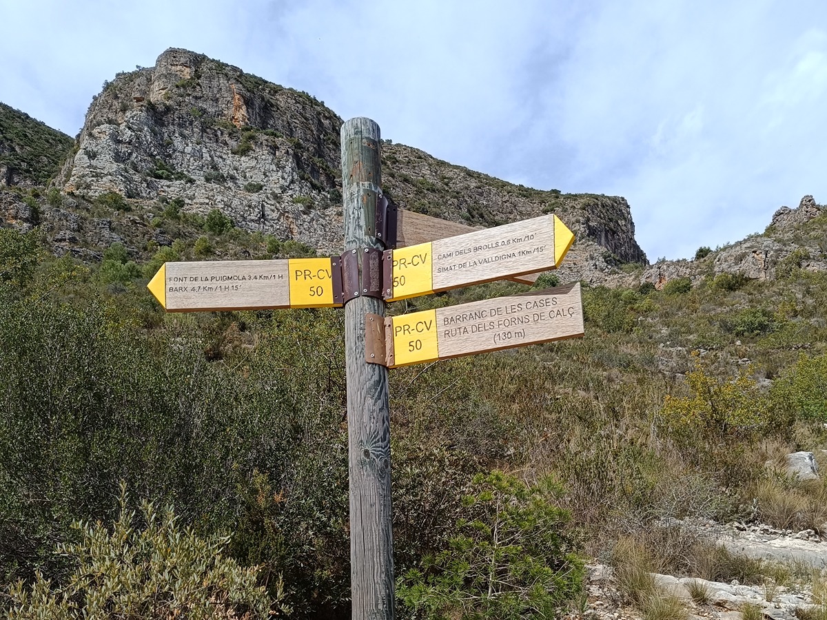
PR-CV 50 SENDA DEL TORO

Promoter: Ayuntamiento de Simat de la Valldigna

Certification status: Positive quality control

0 reviews

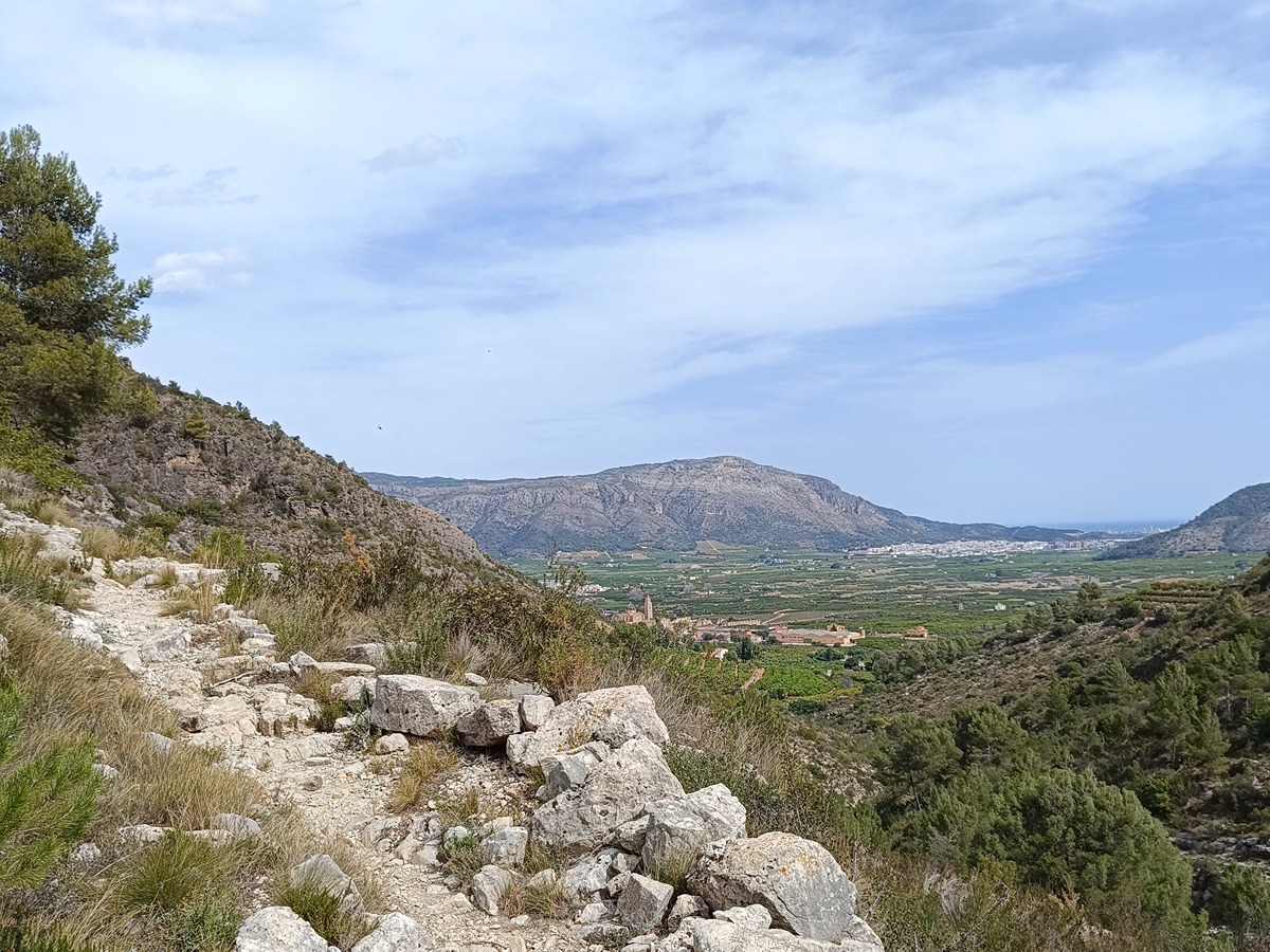
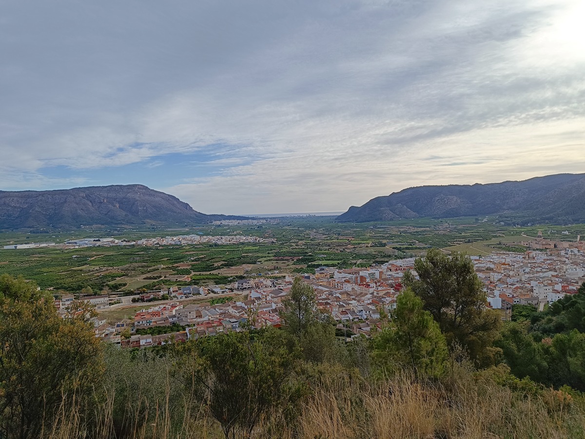
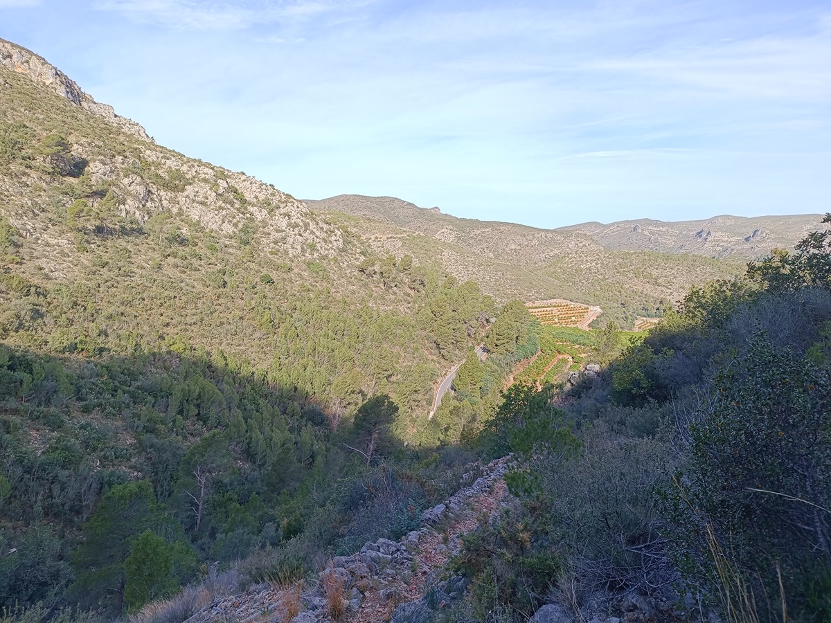
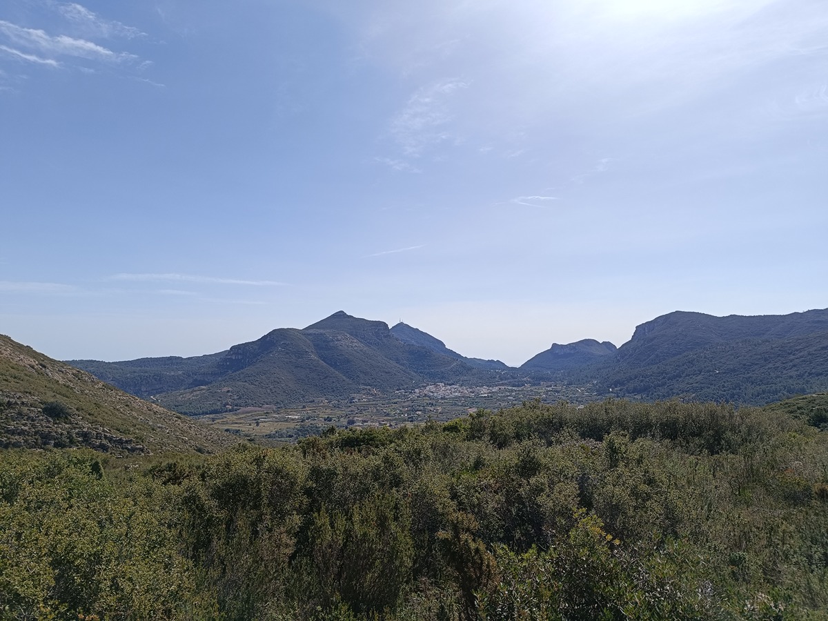
The trail follows the traditional paths of the Sierra del Toro mountain range, ascending to its main peaks. A simple route, mostly covered in scrubland and undergrowth, from which you can see much of the Valldigna valley. It also features historical attractions, such as the Pouet del tio Pascualo or the Sima del Toro and the group of lime kilns in the Barranc de les Cases or the various springs near Puigmola. All of this makes for a small but worthy set to visit.

Trail:
Loop
Technical data:
Length:
11,80 km
Estimated walking time:
04:15:00
Elevation gain:
610 m
Elevation loss:
610 m
MIDE ratings:
Level of natural risks:
2
Navigation on the trail:
2
Hiking difficulty:
2
Fitness level needed:
3

More information on Montaña Segura

Difficulty rating according to FEDME:
Unknown
Interest Tags:
Trail with historical-artistic interest

Useful information:
Date of certification:
15-10-1994
Date of the act of registration in the Public Register:
20-02-2008
Date of the last Quality Control:
april de 2024
Reference municipality:
Otros municipios por los que transcurre:
District:
Province:
Valencia/València
Cartography IGN MTN25:
0770-4

Downloadable from the Catalogue of the IGN Map Library

See other trails of this promoter:
Key points of the route:

Font Manor (spring) - Road (start of path) - Spur trail to Sima del Toro - Derivation to the summit La Creueta - Spur trail to viewpoint, cumbre el Toro (summit) - coll, start of Barranc del Clot dels Suros (ravine) - Carretera de la Puigmola (road) - la Puigmola - Font de la Bendita (spring) intersection- Plaça Nou d'octubre (square). Barx

Route description (only available in Spanish)

Desde la parte alta de la calle del Olmo llegamos al pie de la montaña del Toro. En la primera bifurcación continuamos por la derecha dejando a nuestra izquierda el sendero por donde volveremos.

El recorrido continúa por el regazo de la montaña y pasa cerca de los últimos bancales de naranjos. Va ganando desnivel hasta que llegamos a un tramo que sube fuerte por un barranco muy definido. Una vez en lo alto continua por una senda muy marcada. Llegamos al desvío que baja a la CV-600 y después a las derivaciones de la creueta y la del Alt del Mirador.

Seguimos y pasamos por el pouet del Tio Pasqualo. Al poco entramos en el término de Barx, donde a la derecha tenemos el cruce que va hasta el Pla de Corrals. Continuamos ya de bajada hasta un camino de tierra que nos lleva hasta el cruce del camino a Barx. Continuamos a la izquierda por el camino asfaltado hasta llegar al camping de la Falaguera.

Nosotros seguimos por el camino de tierra hacia el Este hasta un cruce donde lo dejamos a la izquierda, ya por sendero, llegamos al barranco de las Tres Casas, ruta histórica de los hornos de cal y antigua vereda del Camino de Pinet.

Seguimos el barranco y ya casi abajo dejamos a la izquierdo la variante por la cueva de Patricio (PR-CV 50.2) seguimos recto por el camino dels Brolls y conexiones con el GR 236 y PR-CV 51, hasta volver al punto de inicio en Simat.

Downloads:

Beware! Navigation devices may fail, batteries may run out of power and devices may break down. Do not use only electronic means to track your activities in the mountains; they must be used as a complement to the map and compass. Get some proper training and enjoy the mountains.

Alternative routes and routes leading to nearby points of interest

Other trails connecting with this trail