
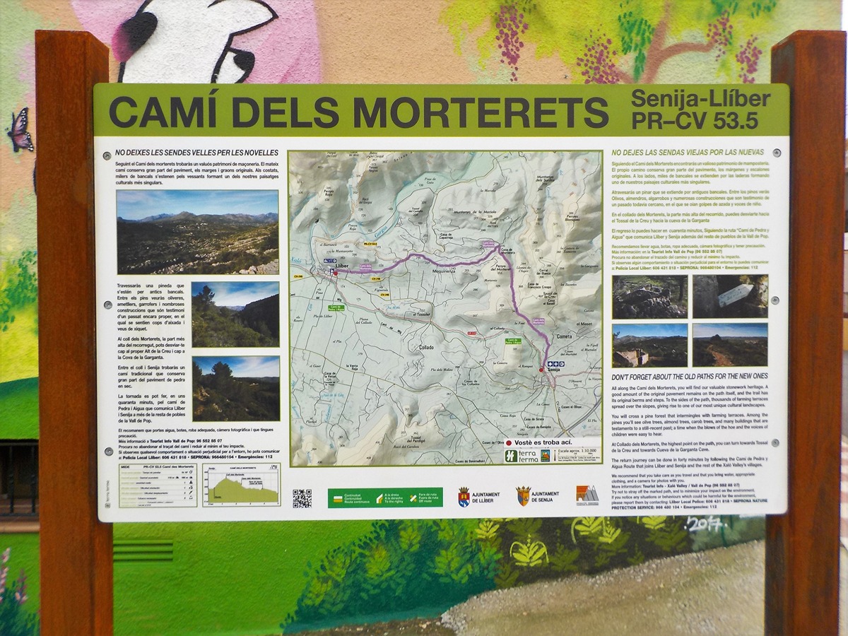
PR-CV 53.5 CAMÍ DELS MORTERETS
Promoter: Ayuntamiento de Llíber
Certification status: Valid
0 reviews
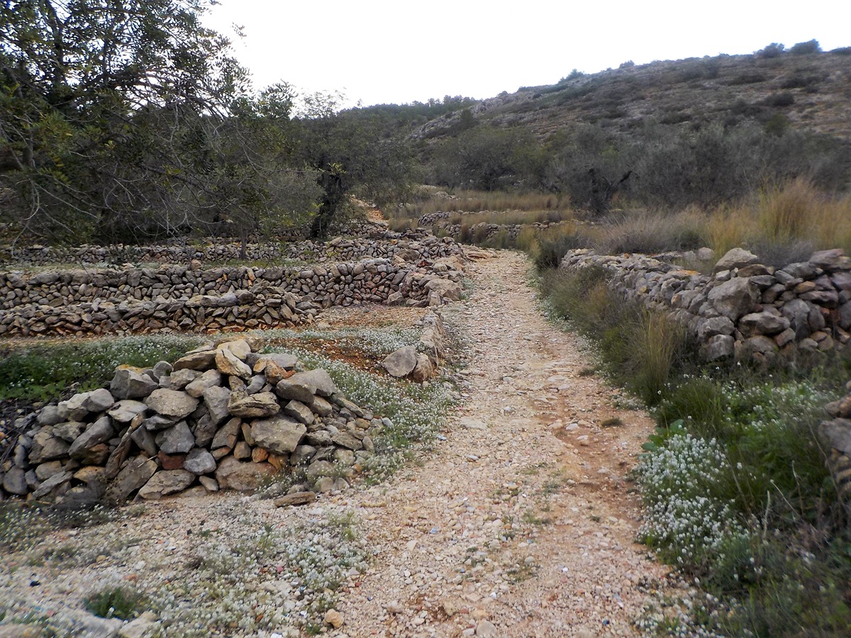
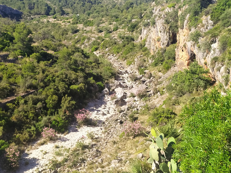
Following the Morterets path you will find a valuable dry-stone piece of heritage. The path itself keeps a large part of the original paving, edges and steps. On the sides, thousands of terraces extend along the slopes, forming one of our most unique cultural landscapes.
Trail:
One way (point-to-point)
Other trails connecting with this trail
PR-CV 466 CAMÍ DEL RIU GORGOS
Promoter: Ayuntamiento de Gata de Gorgos y Ayuntamiento de Llíber
Certification status: Valid
Reference municipality: Gata de Gorgos
Length: 9,60 km
Estimated walking time: 02:55:00
Elevation gain: 290 m
Elevation loss: 175 m
(0)

PR-CV 466.1 LLÍBER PEL CAMÍ VELL DE GATA
Promoter: Ayuntamiento de Gata de Gorgos y Ayuntamiento de Llíber
Certification status: Valid
Reference municipality: Llíber
Length: 2,50 km
Estimated walking time: 00:45:00
Elevation gain: 90 m
Elevation loss: 60 m
(0)