
PR-CV 466 CAMÍ DEL RIU GORGOS
Promoter: Ayuntamiento de Gata de Gorgos y Ayuntamiento de Llíber
Certification status: Valid
0 reviews
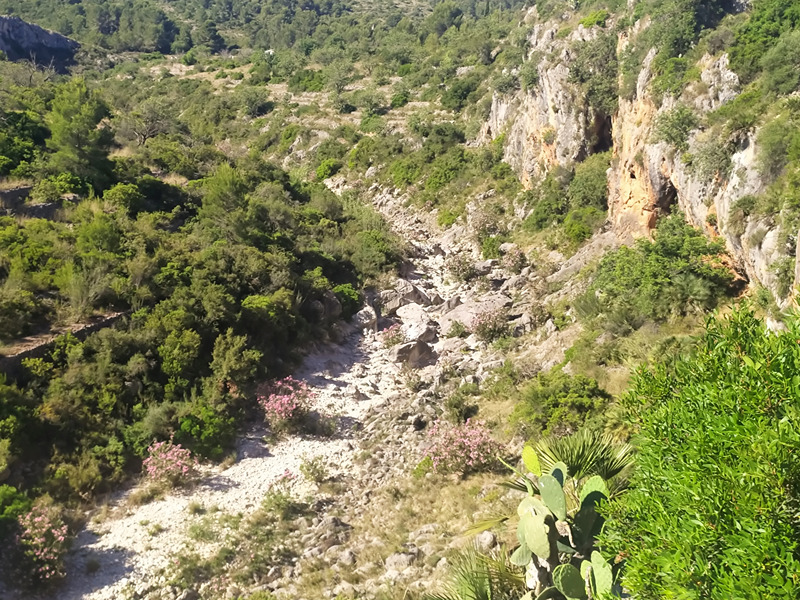
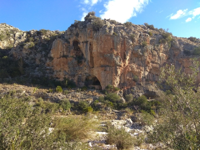
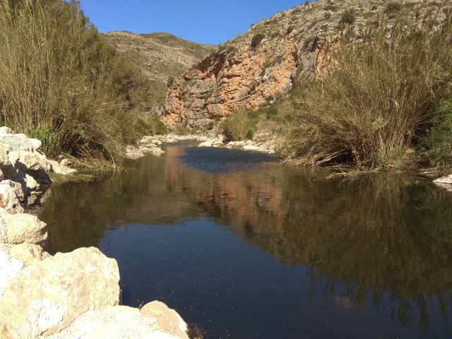
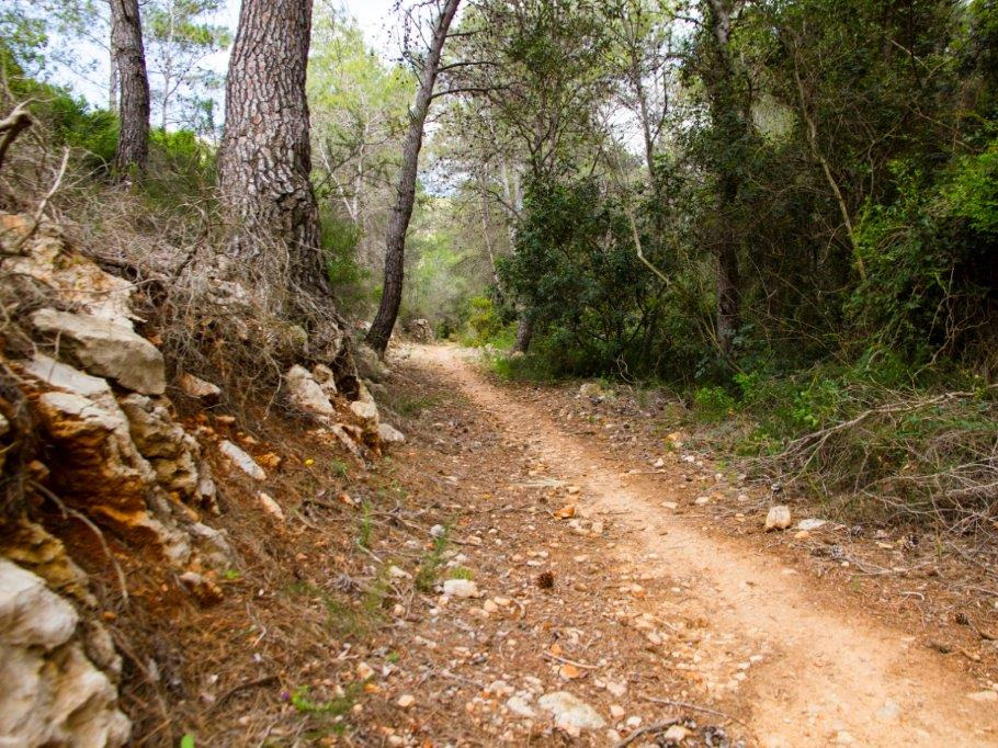
This trail follows the road that connected Llíber with Gata and also Vall de Pop with Xàbia and Dénia. It was the natural outlet for the export of part of the raisins that were produced in the lands along the trail, which, for the most part, runs along the Gorgos river.
Trail:
One way (point-to-point)
Alternative routes and routes leading to nearby points of interest

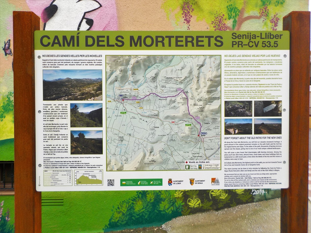
PR-CV 466.1 LLÍBER PEL CAMÍ VELL DE GATA
Promoter: Ayuntamiento de Gata de Gorgos y Ayuntamiento de Llíber
Certification status: Valid
Reference municipality: Llíber
Length: 2,50 km
Estimated walking time: 00:45:00
Elevation gain: 90 m
Elevation loss: 60 m
(0)
Other trails connecting with this trail
Reference municipality: Llíber
Length: 5,00 km
Estimated walking time: 01:15:00
Elevation gain: 145 m
Elevation loss: 200 m
(0)
GR 330 SENDERO COSTA BLANCA INTERIOR
Promoter: Diputación de Alicante
Certification status: In process of approval
Reference municipality: Dénia
(0)
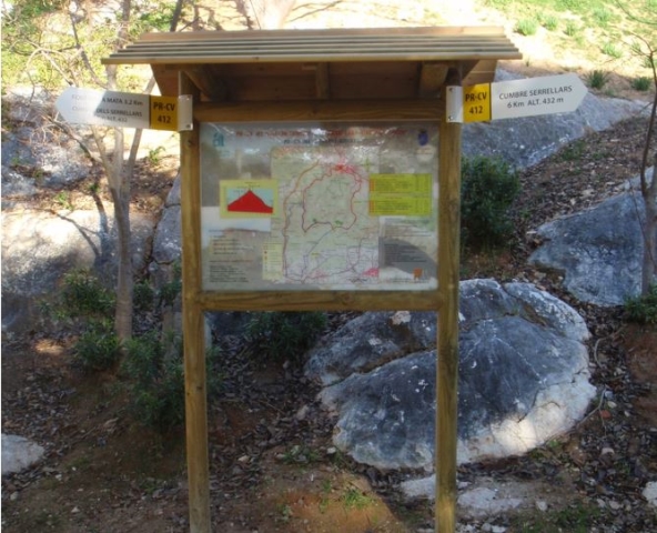
PR-CV 412 GATA DE GORGOS - ALT SERRELLARS - GATA DE GORGOS
Promoter: Ayuntamiento de Gata de Gorgos
Certification status: No quality controls
Reference municipality: Gata de Gorgos
Length: 11,60 km
Estimated walking time: 03:55:00
Elevation gain: 485 m
Elevation loss: 485 m
(0)