
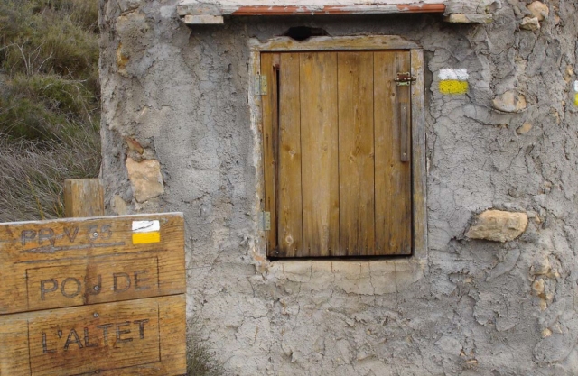
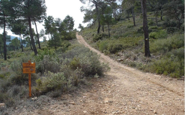
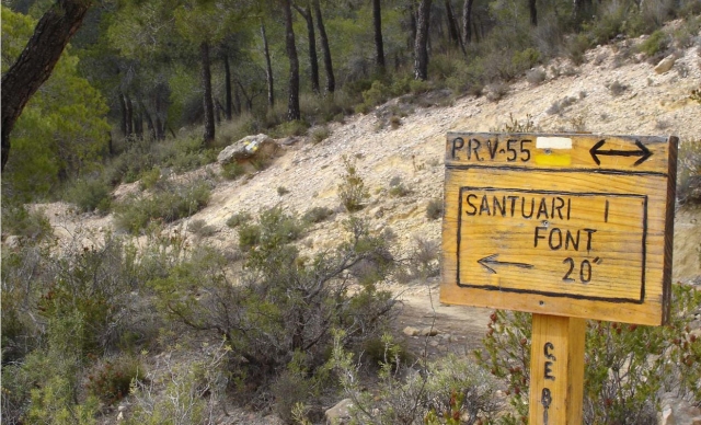
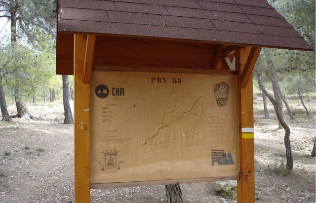
PR-CV 55 SIERRA DE LA FONTANELLA
Promoter: Centre Excursionista de Biar
Certification status: Positive quality control
0 reviews
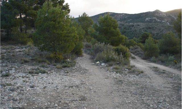
The PR-CV 55 trail covers much of the northeastern part of the mountain range of the town of Biar, passing by its iconic water springs at an altitude of over 900 metres. Additionally, this trail goes through one of the most important pine forests in the province of Alicante. This trail starts and ends at the iconic spot of the sanctuary of the Mare de Déu de Gràcia.
Trail:
Loop
Other trails connecting with this trail

PR-CV 35 BANYERES DE MARIOLA - BIAR - ELDA
Promoter: Diputación de Alicante
Certification status: De-registered / De-approved
Reference municipality: Banyeres de Mariola
(0)
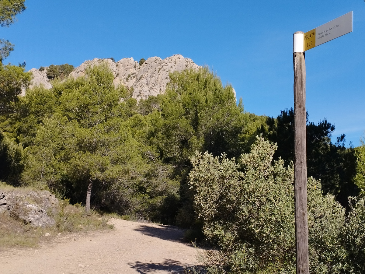
PR-CV 155 SERRA DEL FRARE
Promoter: Centre Excursionista de Biar
Certification status: Positive quality control
Reference municipality: Biar
Length: 13,80 km
Estimated walking time: 04:45:00
Elevation gain: 630 m
Elevation loss: 630 m
(1)
GR 330 SENDERO COSTA BLANCA INTERIOR
Promoter: Diputación de Alicante
Certification status: In process of approval
Reference municipality: Dénia
(0)