Rate this trail

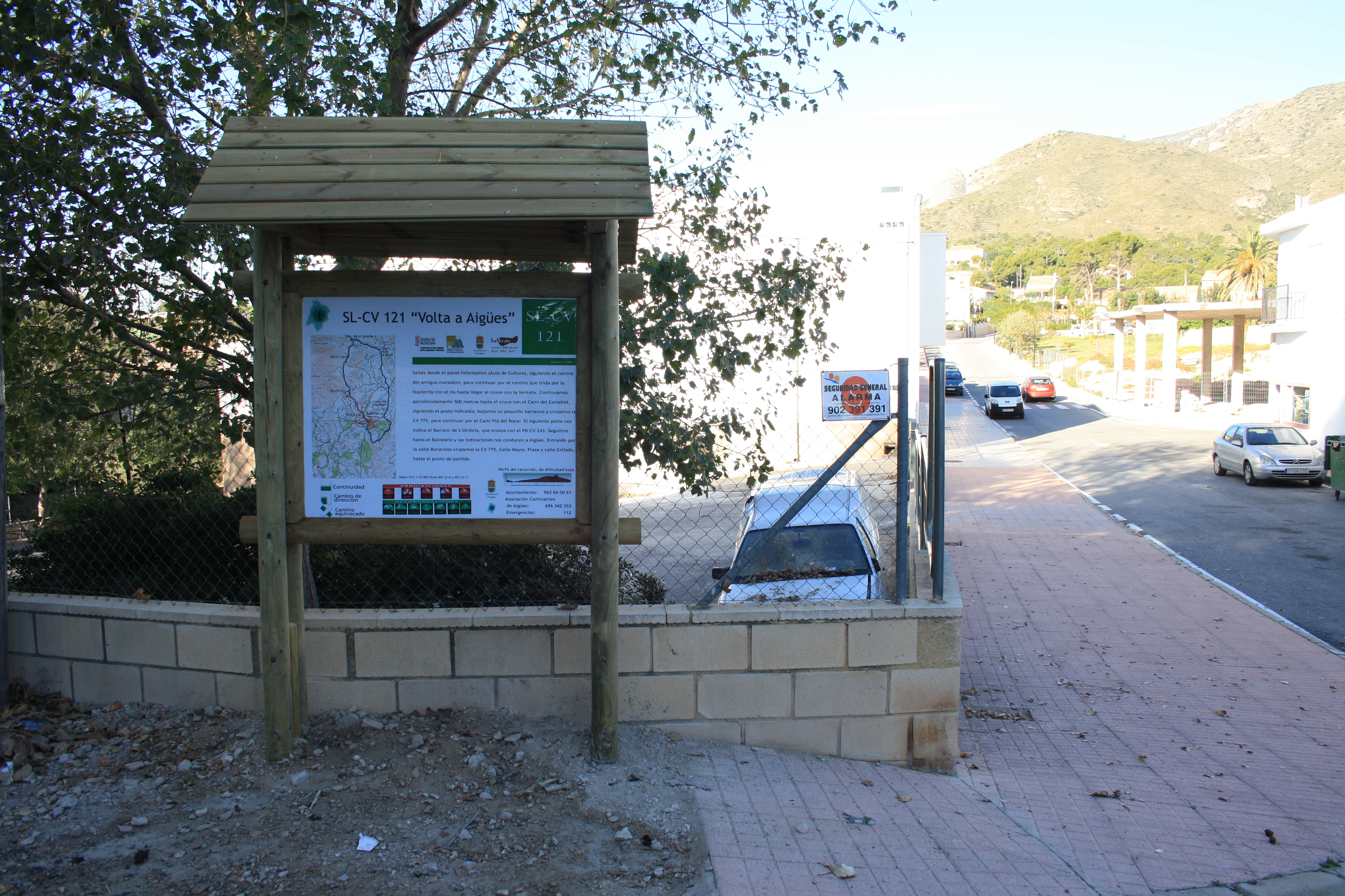
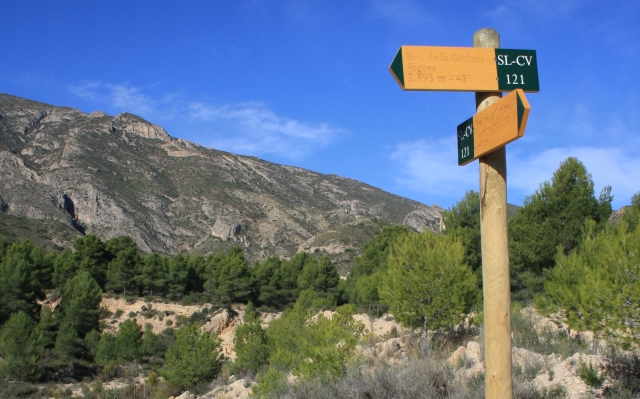
SL-CV 121 VOLTA A AIGÜES

Promoter: Ayuntamiento de Aigües

Certification status: Positive quality control

0 reviews

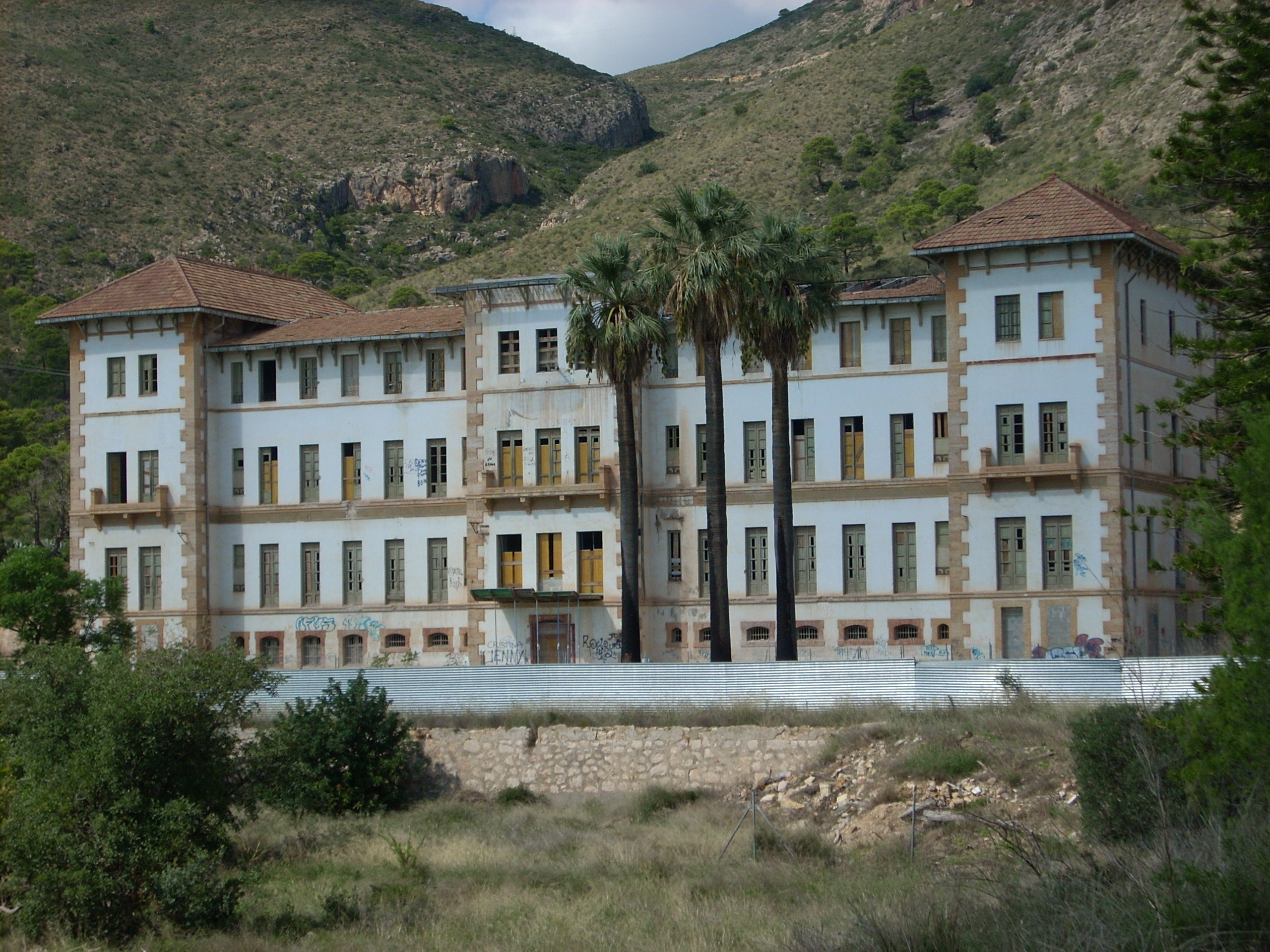
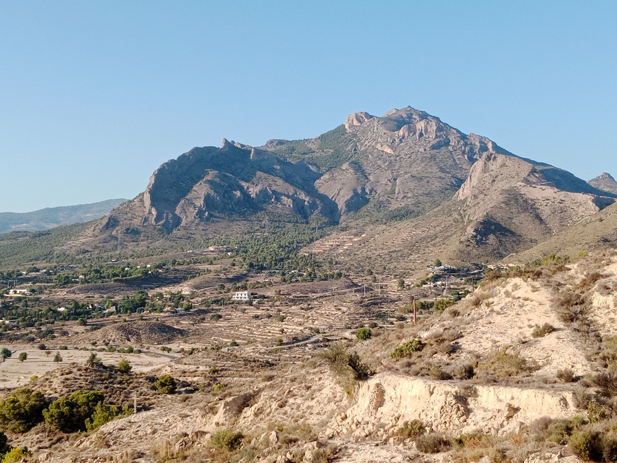
Circular route that goes through the beautiful Alicante town of Aigües de Busot, at the foot of the iconic Cabeçó d'Or massif.

Trail:
Loop
Technical data:
Length:
7,50 km
Estimated walking time:
02:20:00
Elevation gain:
205 m
Elevation loss:
205 m
MIDE ratings:
Level of natural risks:
2
Navigation on the trail:
2
Hiking difficulty:
2
Fitness level needed:
2

More information on Montaña Segura

Difficulty rating according to FEDME:
Unknown
Starting point:
Interest Tags:
Trail with geological interest

Useful information:
Date of certification:
15-12-2009
Date of the act of registration in the Public Register:
20-02-2012
Date of the last Quality Control:
december de 2022
Reference municipality:
District:
Province:
Alicante/Alacant
Cartography IGN MTN25:
0872-1; 0847-3

Downloadable from the Catalogue of the IGN Map Library

See other trails of this promoter:
Protected Natural Spaces:

We advise you to look up the regulations and/or authorisations for using the trails in these conservation areas on the website of the Conselleria de Medio Ambiente, Agua, Infraestructuras y Territorio

  • Cabeçó d'Or y la Grana (SPAB - Special Protection Area for Birds)
Key points of the route:

Aigües - CV-775 intersection - PR-CV 243 connection - spa center - PR-CV 243 connection - Aigües

Route description (only available in Spanish)

El sendero parte junto a la casa de la Cultura de Aigúes. Nos dirigimos al Sur, por la calle Collado, para más adelante, coger el camino del antiguo matadero. Seguimos un buen tramo por pista de tierra, en un principio con el barranc d´Aigües a nuestra derecha, y después entre parcelas de cultivo próximas al pueblo, para desembocar al Este de la localidad, en las casas de la partida de la Venteta. Desde aquí tomamos la carretera asfaltada un buen tramo dirección N-NE, pasamos por la finca el Tossal, y tomamos más adelante una pequeña senda que sale a nuestra derecha, que desemboca en la CV-775, que seguimos unos pocos metros también a nuestra derecha, para tomar una pista asfaltada a nuestra izquierda, el denominado camí Pla del Rocar, que seguimos un largo tramo entre chalets y campos de cultivo. Continuamos hasta llegar a una bifurcación, donde tomamos una pista, denominada camí vell d’Alcoi, con el barranc dels Pintats un largo tramo a nuestra derecha. Más adelante, tomamos una bifurcación a nuestra izquierda dejando la pista del camí vell de Alcoi, tomando la pista del camí de la Barcorera que seguimos para conectar con el sendero PR-CV 243, que junto con este, pasamos por unos depósitos de agua y el antiguo balneario, para llegar de nuevo a la población de Aigües. Travesamos el núcleo urbano para llegar al punto de partida.

Downloads:

Beware! Navigation devices may fail, batteries may run out of power and devices may break down. Do not use only electronic means to track your activities in the mountains; they must be used as a complement to the map and compass. Get some proper training and enjoy the mountains.

Other trails connecting with this trail