Rate this trail

SL-CV 142 PIC DE MONTÍ

Promoter: Ayuntamiento de Onda

Certification status: No quality controls

0 reviews

There is no proof of quality control on the record of this trail in the last years. For this reason, it is unknown whether it complies with the optimal signage and maintenance conditions for hikers to take the trail following these signs exclusively.
Hikers have to take into consideration that the information about the signage and maintenance of the trails for which the promoter entity is responsible might not be up to date anymore, since it refers to its state on the date of its approval. Furthermore, mountain sports entail risks associated with the activity itself and the environment where they take place, for which any person is fully liable. For this reason, hikes need to be planned properly and adequate training, equipment and sensible use of the trails are required.

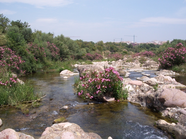
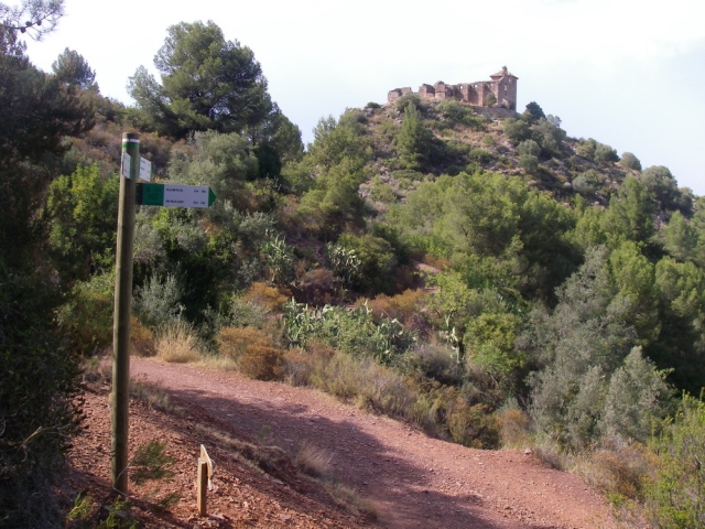
Circular route from the Azud ascending to the Pic del Montí Peak and returning to the Azud via the Retor and Artesola springs, with a 360-degree panoramic view of the province of Castellón.

Trail:
Loop
Technical data:
Length:
5,60 km
Estimated walking time:
02:55:00
Elevation gain:
525 m
Elevation loss:
525 m
MIDE ratings:
Level of natural risks:
1
Navigation on the trail:
2
Hiking difficulty:
2
Fitness level needed:
2

More information on Montaña Segura

Difficulty rating according to FEDME:
Unknown
Starting point:
Azud  
Interest Tags:
Trail with environmental interes

Useful information:
Date of certification:
15-03-2013
Reference municipality:
Otros municipios por los que transcurre:
District:
Province:
Castellón/Castelló
Cartography IGN MTN25:
0640-2

Downloadable from the Catalogue of the IGN Map Library

See other trails of this promoter:
Protected Natural Spaces:

We advise you to look up the regulations and/or authorisations for using the trails in these conservation areas on the website of the Conselleria de Medio Ambiente, Agua, Infraestructuras y Territorio

  • Serra d'Espadà (Natural Park)
  • Sierra de Espadán y Curso Alto del Mijares (SIC - Site of Community Interest)
Key points of the route:

Weir - Camino de Tales Pic del Montí (path) - Segunda cumbre del Montí (summit) - Font del Retor (spring) - SL-CV 107 Connection - Camino viejo de Tales (path) - Weir

Route description (only available in Spanish)

Desde el Azud tomamos el Camí Vell de Tales actual Carrer Nerea Piquer, en dirección Tales hasta que a unos 300 metros a nuestra izquierda abordaremos la senda que nos subirá al Pic de Montí. Pasaremos por el Pic del Montí y su segunda cumbre, para continuar a la Font del Retor y posteriormente enlazar con el SL-CV 107 el cual nos acompañará en el descenso hasta volver a conectar con el Camí Vell de Tales actual Carrer Nerea Piquer, en donde a nuestra derecha nos abandonará el SL-CV 107 y nosotros tomaremos a nuestra izquierda hasta llegar al Azud.

Downloads:

Beware! Navigation devices may fail, batteries may run out of power and devices may break down. Do not use only electronic means to track your activities in the mountains; they must be used as a complement to the map and compass. Get some proper training and enjoy the mountains.

Other trails connecting with this trail