
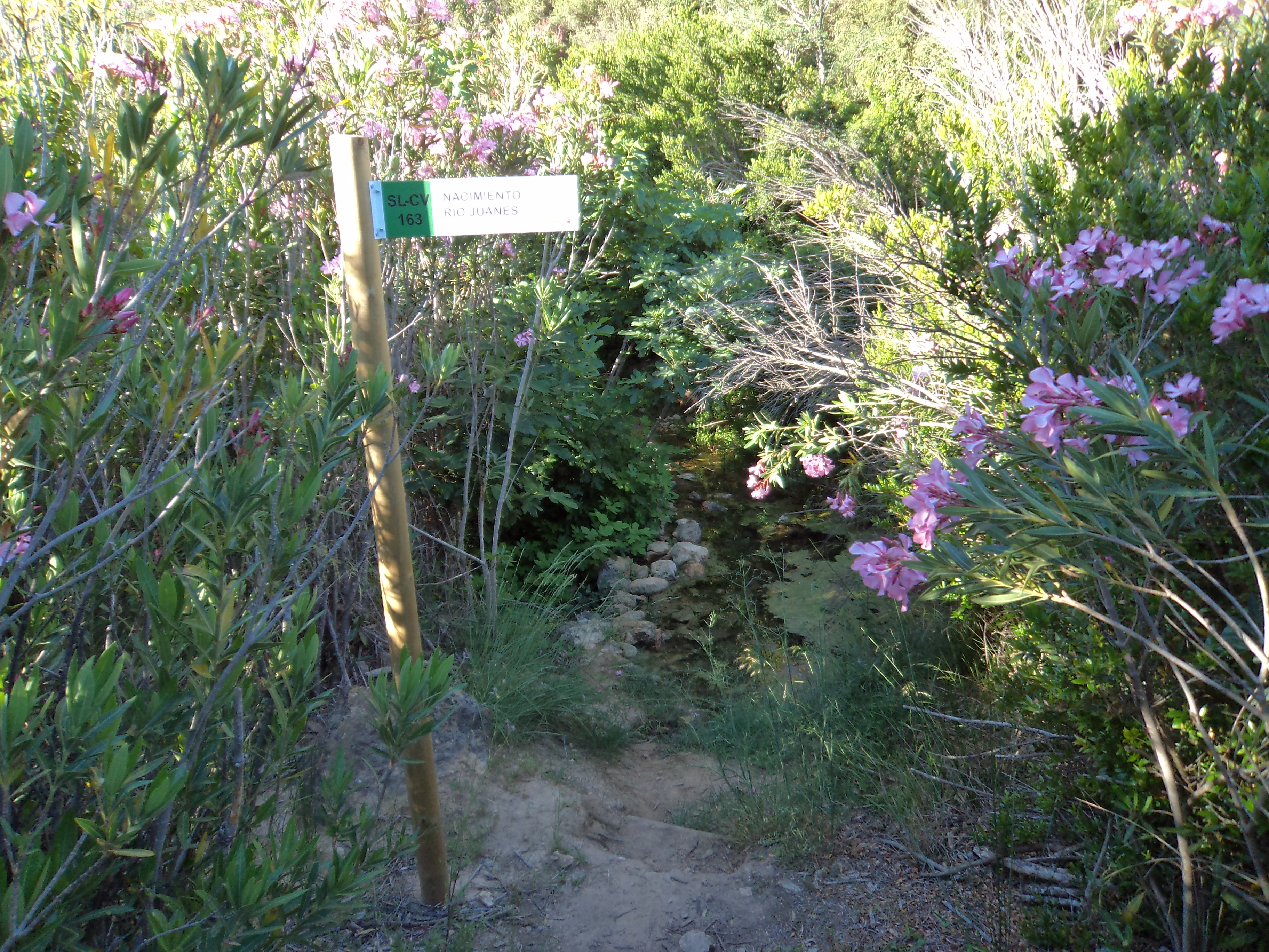
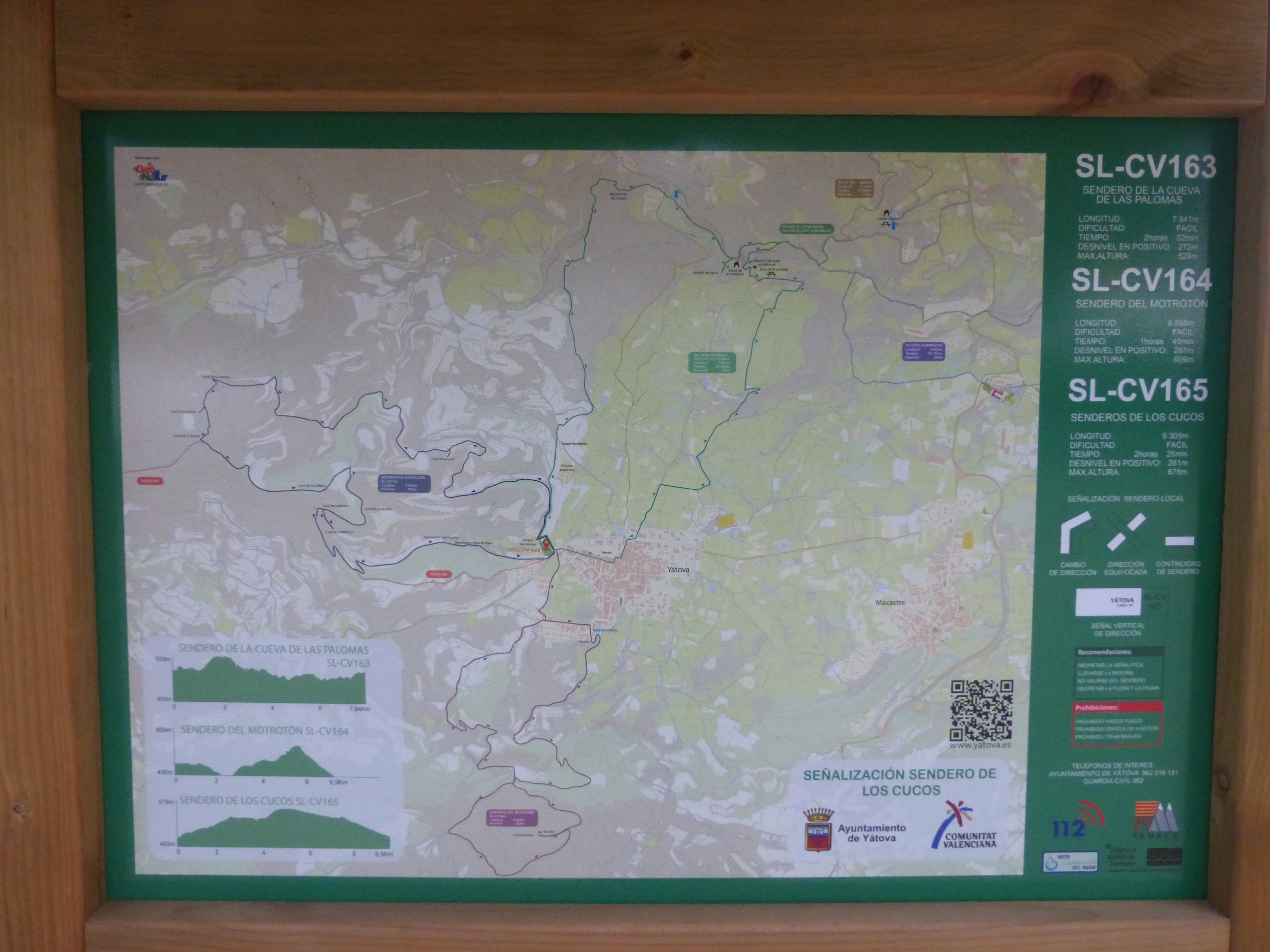
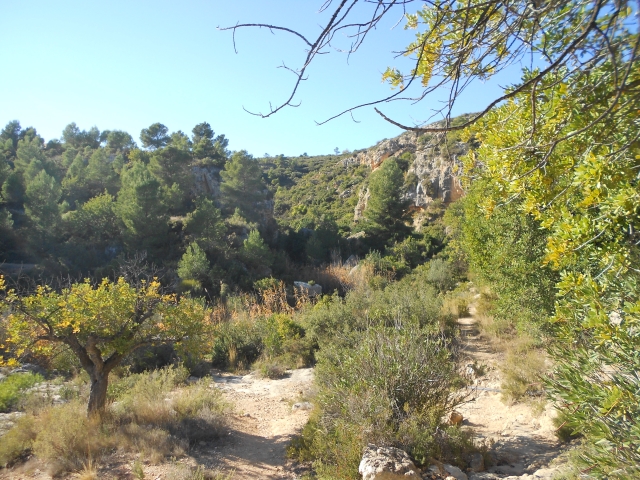
SL-CV 165 SENDERO DE LOS CUCOS
Promoter: Ayuntamiento de Yátova
Certification status: Valid
0 reviews
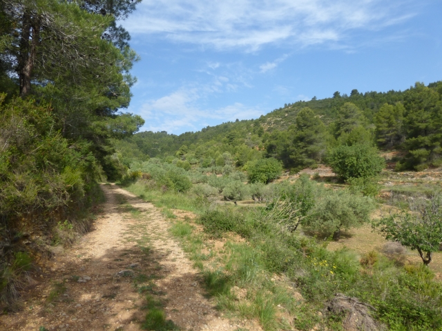
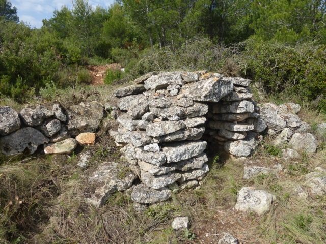
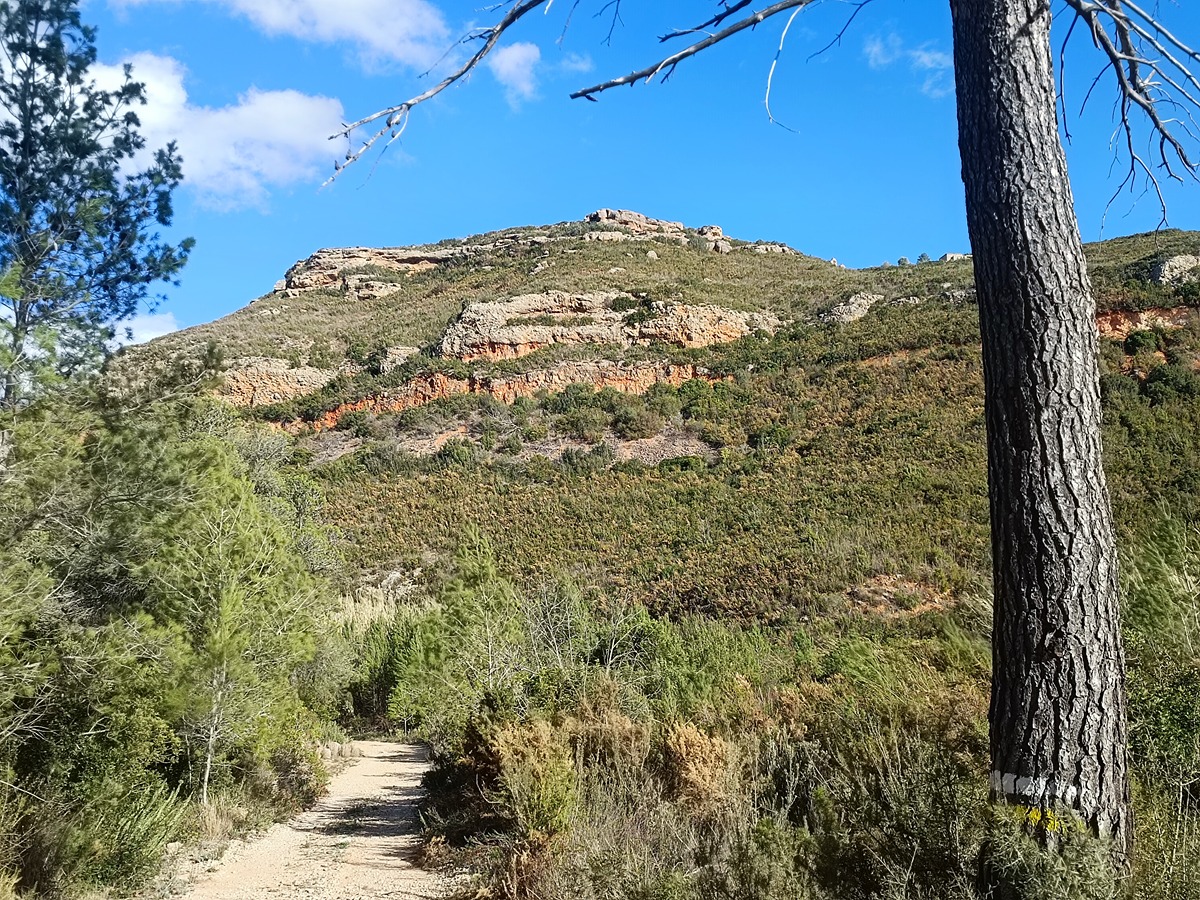
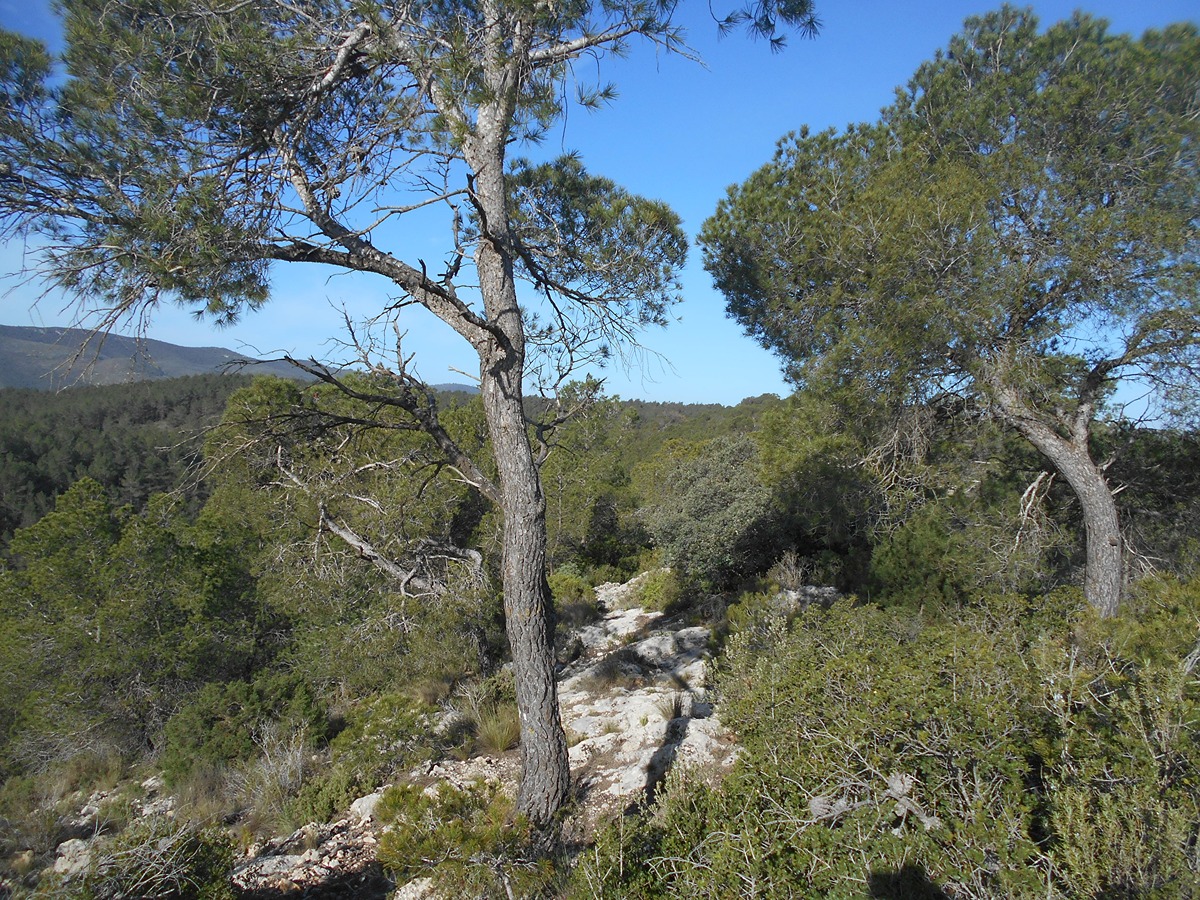
Circular route suitable for people of all ages. The characteristic feature of this route is undoubtedly the different ancient dry stone constructions it goes through, associated with the livestock farming activities that used to be carried out in the mountains. Along this route you can see different types of construction of cuco refuges, corrals, as well as the flora of the natural environment and the different views of the landscapes.
Trail:
Loop
Other trails connecting with this trail
PR-CV 115 VEREDA PASO DE CUERNAS DOS AGUAS
Promoter: Ayuntamiento de Yátova
Certification status: Conditioned quality control
Reference municipality: Yátova
Length: 27,30 km
Estimated walking time: 08:25:00
Elevation gain: 955 m
Elevation loss: 505 m
(0)
PR-CV 148 YATOVA - CASA DE TABARLA - POCICO VALENTÍN
Promoter: Ayuntamiento de Yátova
Certification status: Conditioned quality control
Reference municipality: Yátova
Length: 23,30 km
Estimated walking time: 06:15:00
Elevation gain: 710 m
Elevation loss: 845 m
(0)
Reference municipality: Yátova
Length: 8,50 km
Estimated walking time: 02:35:00
Elevation gain: 200 m
Elevation loss: 200 m
(0)
Reference municipality: Yátova
Length: 9,20 km
Estimated walking time: 03:15:00
Elevation gain: 460 m
Elevation loss: 460 m
(0)
Reference municipality: Buñol
Length: 7,10 km
Estimated walking time: 02:15:00
Elevation gain: 230 m
Elevation loss: 230 m
(1)