Rate this trail

PR-CV 115 VEREDA PASO DE CUERNAS DOS AGUAS

Promoter: Ayuntamiento de Yátova

Certification status: Conditioned quality control

0 reviews

Following the inspection carried out by trail technicians, this trail has been declared of "limited adequacy" as a result of the faults detected in the signage. These include inadequate horizontal signs (paint markers) and/or vertical ones (trailheads and information boards) or lacking direction markers that do not provide sufficient information to properly follow the route. The builder of this trail has been informed of the situation.
For safety reasons and during maintenance work, it is advised to be extremely careful while taking this route. Furthermore, mountain sports entail risks associated with the activity itself and the environment where they take place, for which any person is fully liable. For this reason, hikes need to be planned properly and adequate training, equipment and sensible use of the trails are required.

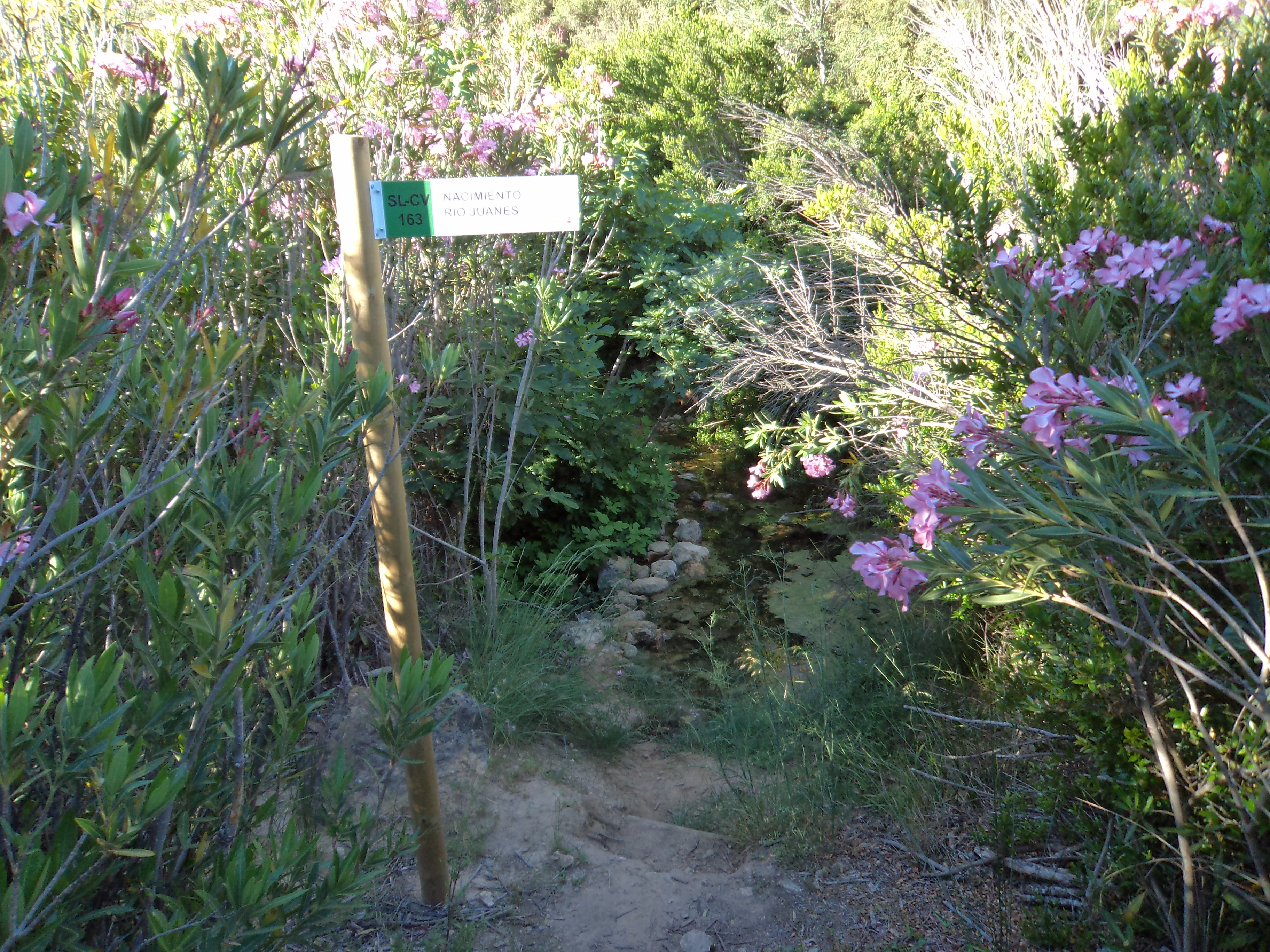
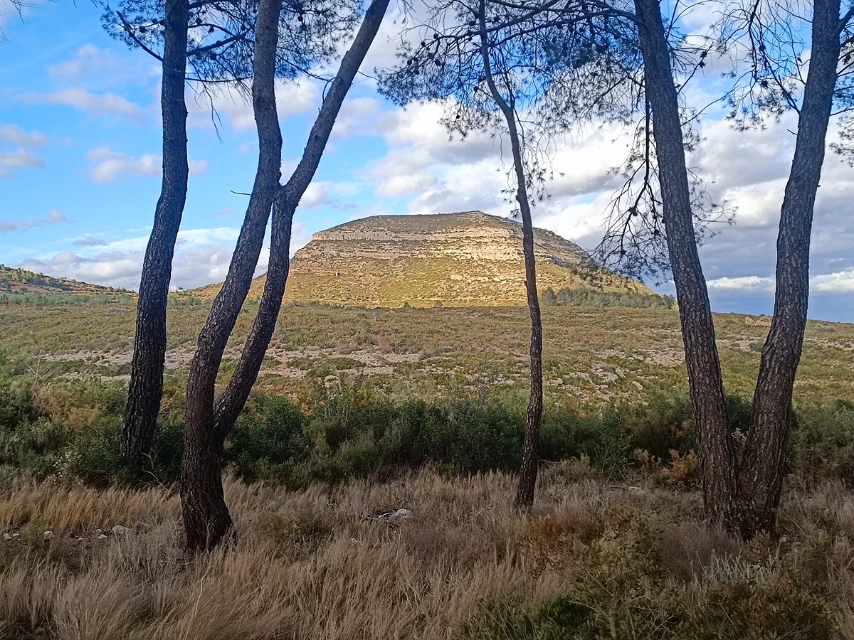
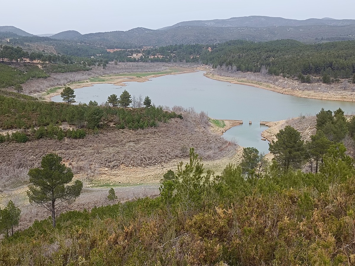
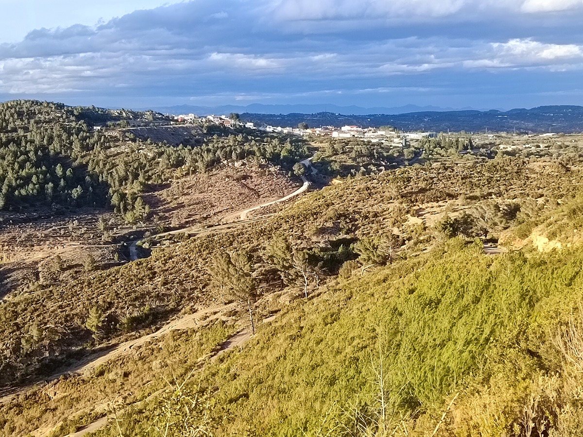
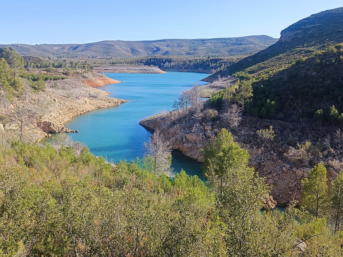
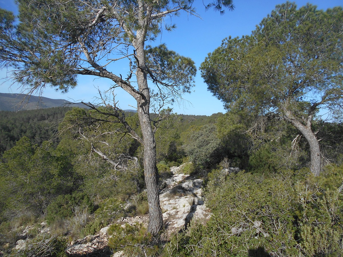
Trail that connects Yátova with the Manquillo refuge. It runs through the hill of the emblematic Motrotón hill and through the Cuernas pass, next to the Forata reservoir.

Trail:
One way (point-to-point)
Technical data:
Length:
27,30 km
Estimated walking time:
08:25:00
Elevation gain:
955 m
Elevation loss:
505 m
MIDE ratings:
Level of natural risks:
2
Navigation on the trail:
2
Hiking difficulty:
2
Fitness level needed:
4

More information on Montaña Segura

Difficulty rating according to FEDME:
Unknown
Useful information:
Date of certification:
15-12-1997
Date of the act of registration in the Public Register:
20-02-2008
Date of the last Quality Control:
april de 2024
Reference municipality:
Otros municipios por los que transcurre:
District:
Province:
Valencia/València
Cartography IGN MTN25:
0721-3; 0720-4; 0745-2

Downloadable from the Catalogue of the IGN Map Library

See other trails of this promoter:
Protected Natural Spaces:

We advise you to look up the regulations and/or authorisations for using the trails in these conservation areas on the website of the Conselleria de Medio Ambiente, Agua, Infraestructuras y Territorio

  • Sierra de Martés - Muela de Cortes (SPAB - Special Protection Area for Birds)
  • Sierra de Martés y el Ave (SIC - Site of Community Interest)
  • Sierras de Martés y el Ave (SAC - Special Area of Conservation)
Key points of the route:

Yátova - Rambla de la Horteta (wadi) - Collado del Motroton (col) - Barranco del Burro (ravine) - Cañada del Pinar (cattle track) - Rio Magro (river) - Cuerna - Hoya Calabuig (pit) - Intersection with Presa road (connection with SL-CV 47) - Masia del QuinetE (estate) - Embalse de Forata (reservoir) - Corral de la Fulla (corral) - Fork in track - Barranco Madroñal (ravine) - Collado las aliagas (col) - connection with SL-CV 21 - El Pulpitillo - Collado de los Rodrigos (col) - Barranco del Gallo (ravine) - Casa de Julián Pérez (old rural house), Access to track - Senda Vieja (path), Access to path, connection with GR 7 - Refugio el Manquillo (refuge)

Route description (only available in Spanish)

Desde el parque de San Vicente atravesamos la localidad de Yátova hasta el jardín de Blasco Ibáñez. Bajamos a la rambla de la Horteta y subimos hasta el collado del Motrotón. Dejamos la emblemática cima a nuestra izquierda y bajamos hacia el barranco del Burro y posteriormente por el barranco de Roser hasta llegar el río Magro a la altura del Arenal.

Cruzamos el río y subimos al paso de Cuernas para continuar hacia la masía de Quinete. En este punto atravesamos la carretera de acceso a la presa de Forata que queda a nuestra derecha a unos 800 metros. El sendero serpentea próximo al embalse atravesando barrancos como el de Somerón y la Zarza para subir al collado de las Aliagas. Bajamos al barranco del Madroñal y subimos al collado del Pulpitillo por la senda hasta llegar a la casa de Julián Pérez.

Tomamos aquí la pista por la derecha que sube en dirección a la sierra de Martés. Más adelante una senda nos lleva hasta el cruce donde el PR gira a la izquierda para llegar al refugio del Manquillo.

Downloads:

Beware! Navigation devices may fail, batteries may run out of power and devices may break down. Do not use only electronic means to track your activities in the mountains; they must be used as a complement to the map and compass. Get some proper training and enjoy the mountains.

Other trails connecting with this trail