ES / EN / VA

Rate this trail

SL-CV 21 EL CERRO - COLLADO DEL PULPILLO

Promoter: Ayuntamiento de Yátova

Certification status: Conditioned quality control

0 reviews

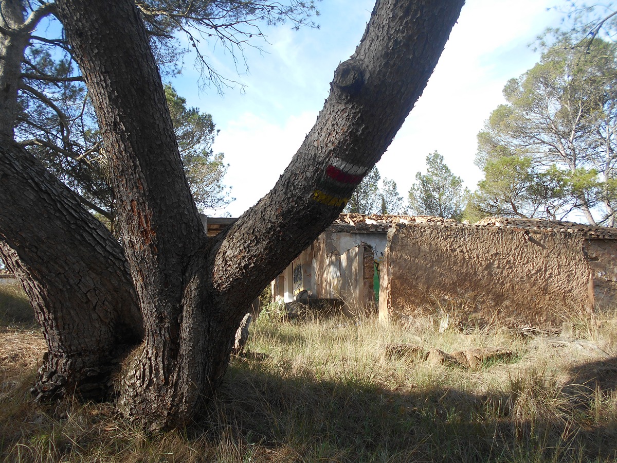
Following the inspection carried out by trail technicians, this trail has been declared of "limited adequacy" as a result of the faults detected in the signage. These include inadequate horizontal signs (paint markers) and/or vertical ones (trailheads and information boards) or lacking direction markers that do not provide sufficient information to properly follow the route. The builder of this trail has been informed of the situation.
For safety reasons and during maintenance work, it is advised to be extremely careful while taking this route. Furthermore, mountain sports entail risks associated with the activity itself and the environment where they take place, for which any person is fully liable. For this reason, hikes need to be planned properly and adequate training, equipment and sensible use of the trails are required.

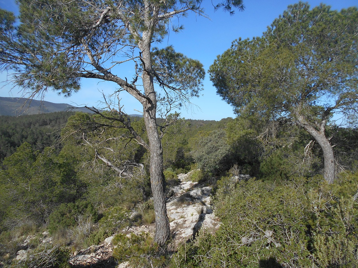
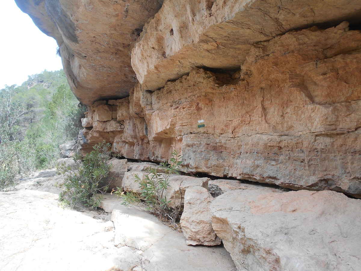
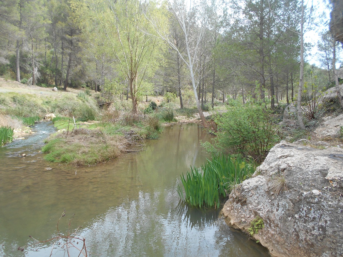
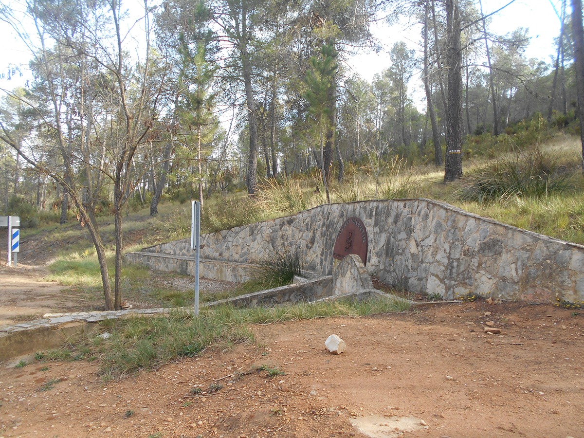
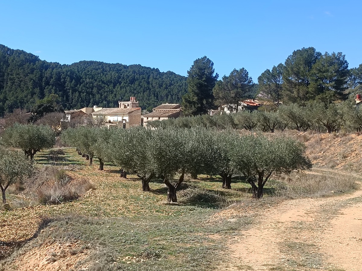
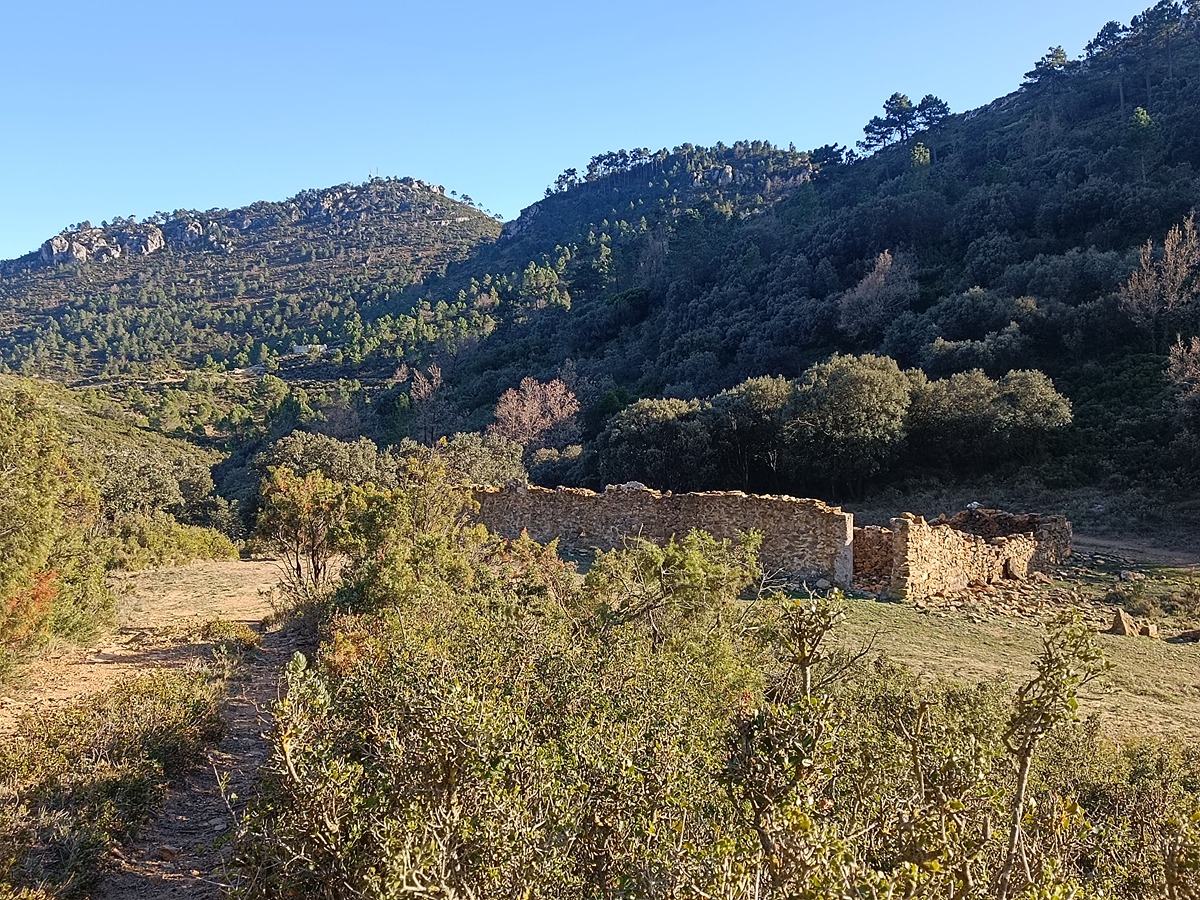
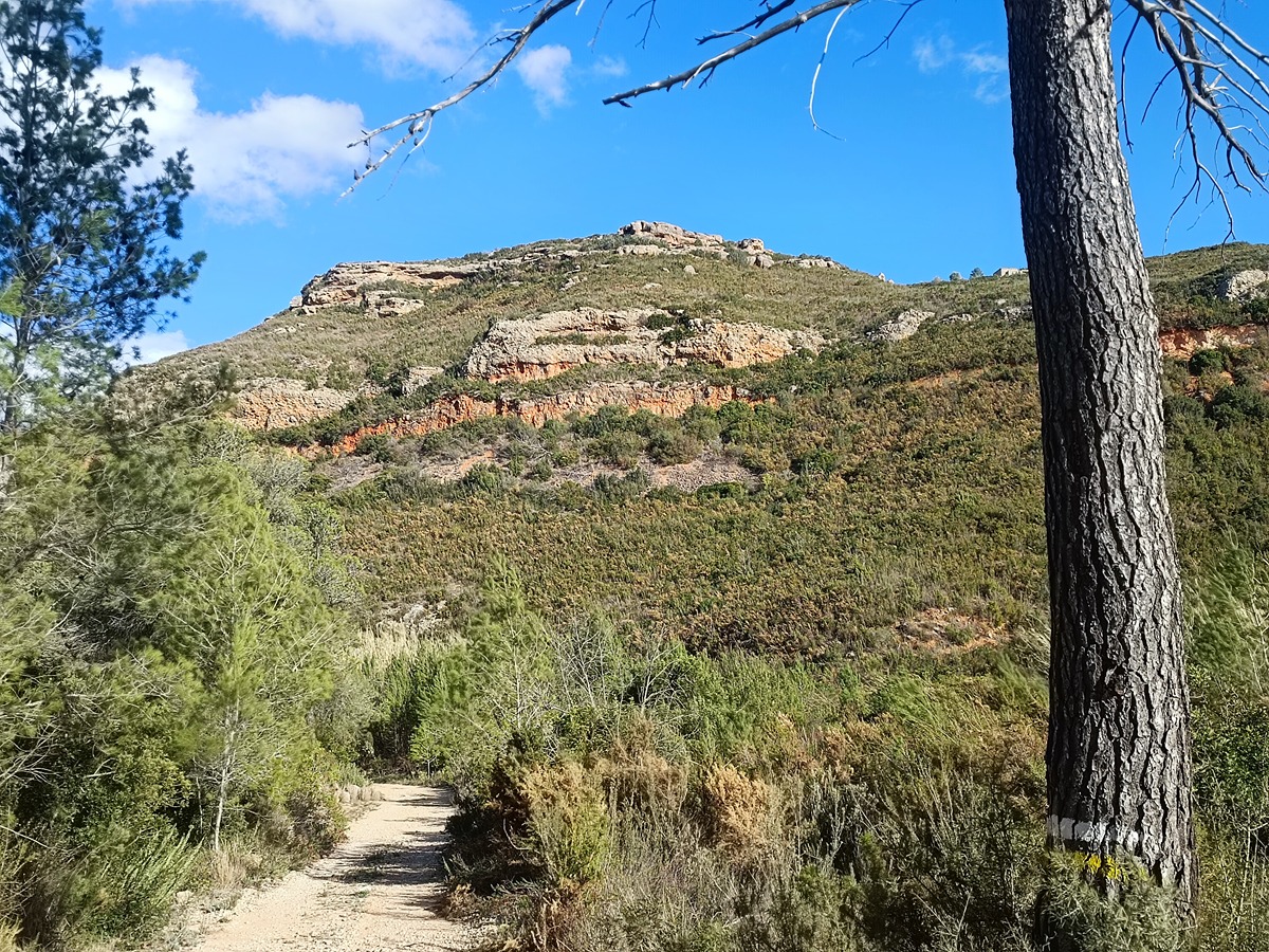
The SL-CV 21 takes us into a place of high landscape and ecological value where we can observe the typical Mediterranean and riparian forest. A route along the Magro river and the different ravines surrounded by rock formations that surprise the hiker. We will also visit the old Tabarla camp.

Trail:
Loop with some overlapping out and back sections
Technical data:
Length:
12,20 km
Estimated walking time:
03:50:00
Elevation gain:
455 m
Elevation loss:
455 m
MIDE ratings:
Level of natural risks:
3
Navigation on the trail:
2
Hiking difficulty:
3
Fitness level needed:
3

More information on Montaña Segura

Difficulty rating according to FEDME:
Unknown
Useful information:
Date of certification:
15-05-2000
Date of the last Quality Control:
march de 2024
Reference municipality:
District:
Province:
Valencia/València
Cartography IGN MTN25:
0720-4

Downloadable from the Catalogue of the IGN Map Library

See other trails of this promoter:
Protected Natural Spaces:

We advise you to look up the regulations and/or authorisations for using the trails in these conservation areas on the website of the Conselleria de Medio Ambiente, Agua, Infraestructuras y Territorio

  • Sierra de Martés - Muela de Cortes (SPAB - Special Protection Area for Birds)
  • Sierra de Martés y el Ave (SIC - Site of Community Interest)
  • Sierras de Martés y el Ave (SAC - Special Area of Conservation)
Key points of the route:

Pocico Valentín (enlace GR 7) (well) – Casas de Tabarla (old rural house) – El Cerro (viewpoint) – River Magro – Collado del Pulpitillo (connection PR-CV 115) (col) – Campamento Tabarla (connection GR 7) (camp) – Casas de Tabarla (old rural house) - Pocico Valentín (well)

Route description (only available in Spanish)

Partimos del Pocico Valentín donde empieza una senda suave ascenso que nos llevara en las casas de Tabarla, punto de inicio del tramo circular. Seguimos a la izquierda por un tramo de pista y llegamos al alto del Cerro. Un poco delante está el Mirador, con unas vistas impresionantes a la sierra del Martés al fondo y el encañonado río Magro y los barrancos del Purgatorio y Hueñas.

Ahora, por una senda empinada de piedra suelta y después entre una pequeña pinada iremos siempre en descenso hasta el río. Caminaremos un buen tramo por al lado del río que tendremos que cruzar en algún punto. Salimos del lecho del río para subir hasta el collado del Pulpitillo donde encontraremos el enlace con el PR-CV 115. Nosotros volvemos a bajar otra vez al río para remontarlo, en algunos tramos con ayuda de unas maromas para superar algunos pasos complicados hasta una zona de marmitas y el charco del Chorrero.

Llegamos una zona de playas a la izquierda sin cruzar el río hasta la hoya de Tabarla y el enlace del GR 7. Al otro lado se encuentra el campamento de Tabarla. En este punto ya dejamos de andar por lado del río para ensartar una senda estrecha con un fuerte desnivel hasta las casas de Tabarla, repitiendo el tramo de recorrido hasta el inicio del sendero.

Downloads:

Beware! Navigation devices may fail, batteries may run out of power and devices may break down. Do not use only electronic means to track your activities in the mountains; they must be used as a complement to the map and compass. Get some proper training and enjoy the mountains.

Other trails connecting with this trail