Rate this trail

SL-CV 324 SENDA DE LA LLOMA DE LES CABRES

Promoter: Ayuntamiento de Beneixama

Certification status: No quality controls

1 review

There is no proof of quality control on the record of this trail in the last years. For this reason, it is unknown whether it complies with the optimal signage and maintenance conditions for hikers to take the trail following these signs exclusively.
Hikers have to take into consideration that the information about the signage and maintenance of the trails for which the promoter entity is responsible might not be up to date anymore, since it refers to its state on the date of its approval. Furthermore, mountain sports entail risks associated with the activity itself and the environment where they take place, for which any person is fully liable. For this reason, hikes need to be planned properly and adequate training, equipment and sensible use of the trails are required.

Trail:
One way (point-to-point)
Technical data:
Length:
4,90 km
Estimated walking time:
01:40:00
Elevation gain:
345 m
Elevation loss:
60 m
MIDE ratings:
Level of natural risks:
2
Navigation on the trail:
2
Hiking difficulty:
2
Fitness level needed:
2

More information on Montaña Segura

Difficulty rating according to FEDME:
Unknown
Starting point:
End Point:
Useful information:
Date of certification:
15-04-2007
Reference municipality:
District:
Province:
Alicante/Alacant
Cartography IGN MTN25:
0820-3

Downloadable from the Catalogue of the IGN Map Library

See other trails of this promoter:
Protected Natural Spaces:

We advise you to look up the regulations and/or authorisations for using the trails in these conservation areas on the website of the Conselleria de Medio Ambiente, Agua, Infraestructuras y Territorio

  • Els Alforins (SIC - Site of Community Interest)
Key points of the route:

Albergue de la Talaeta (refuge) - San Isidro recreation area - Rincón de la Atalaya - Lloma de les Cabres (hillock) - Alt del Atochar (peak) - Pista en el carrascales (track) - alt del carrascales (peak) - Observatory

Route description (only available in Spanish)

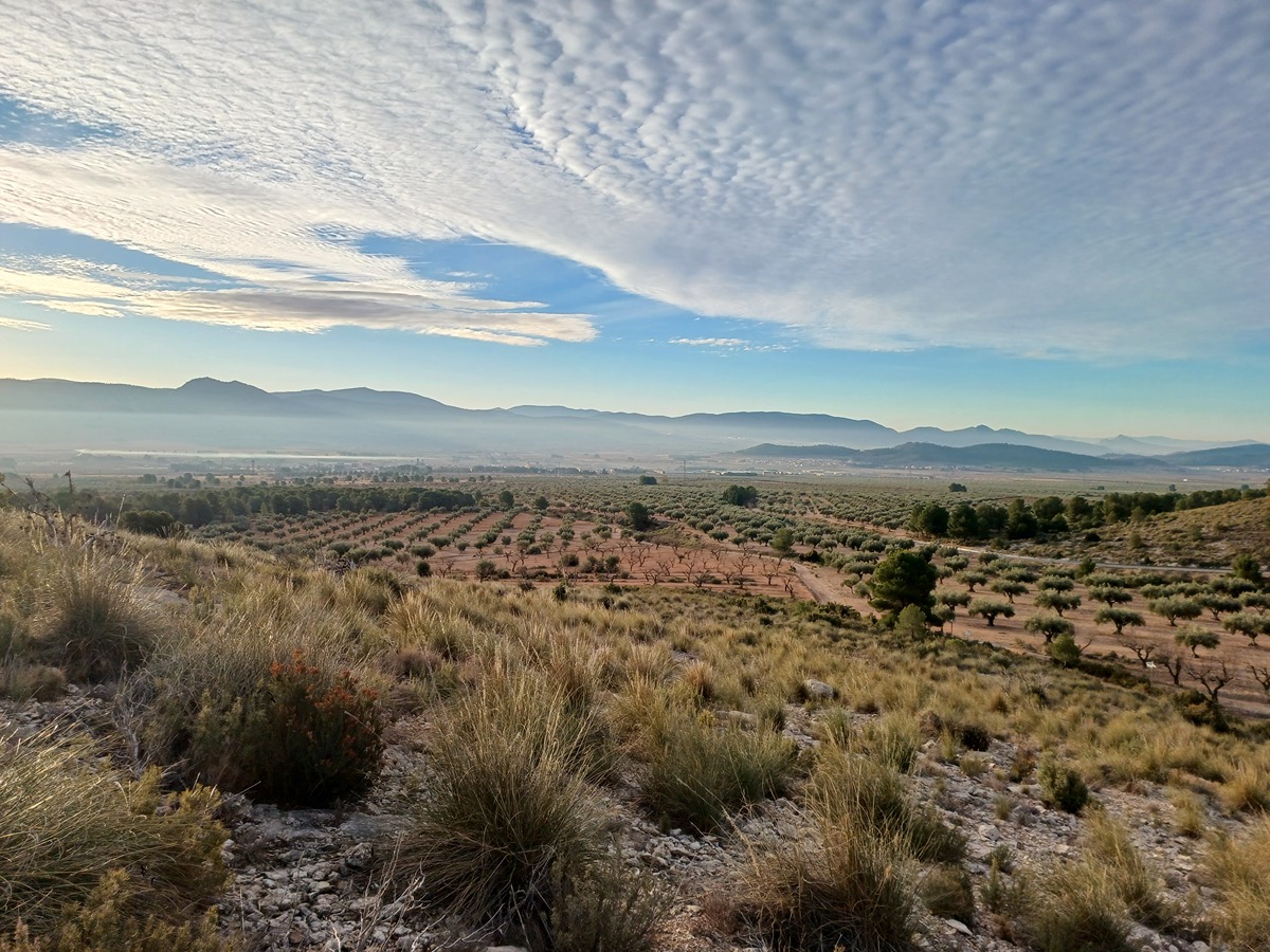
Desde la población de Beneixama se toma la Carretera CV-657 a Fontanares, y a unos 2 Km. se encuentra el Área recreativa y Albergue de la Talaeta, es en este punto donde da comienzo este sendero, tomaremos a la Dcha. junto a un punto geodésico y vamos bordeando el alto donde se encuentra la Ermita de San Isidro, con bellas vistas a todo el Valle. Pasamos junto a las Casas de la Talaeta donde hay un parque infantil, siguiendo a la Izq. por el Camino del Romeral, Casita del Molinero, corral dels Payá, accediendo a un camino recientemente asfaltado que en continuo ascenso se acaba en unas obras sobre las que se está construyendo un depósito de agua. Un poco más arriba el camino gira a la Izq. faldeando la montaña unas decenas de metros, cerca de una casita de campo se inicia la subida, a la dcha. por una senda recuperada que en continuo ascenso por la LLoma de les Cabres, nos colocará en el Alto del Carrascalet.
La Senda acaba junto a unos comederos y bebederos cinegéticos, donde se convierte en camino, desembocando a los pocos metros en la pista principal en el Alto del Carrascales, donde tomaremos a la dcha. En el siguiente camino que nos sale a la dcha. a pocos metros, dejaremos la pista para seguirlo, poco más adelante en un claro y despejado ensanche se encuentra un atril, donde posiblemente se construirá un Observatorio Astronómico. Siendo este punto el final del recorrido.
 

Downloads:

Beware! Navigation devices may fail, batteries may run out of power and devices may break down. Do not use only electronic means to track your activities in the mountains; they must be used as a complement to the map and compass. Get some proper training and enjoy the mountains.

Other trails connecting with this trail