
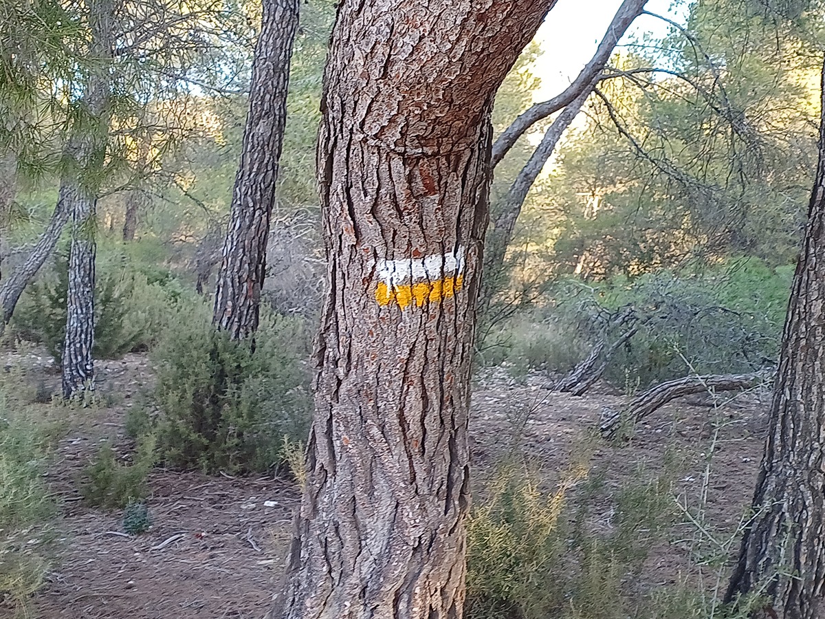
PR-CV 52 SERRA DE LA SOLANA
Promoter: Grup de Muntanya Beneixama
Certification status: Positive quality control
17 reviews
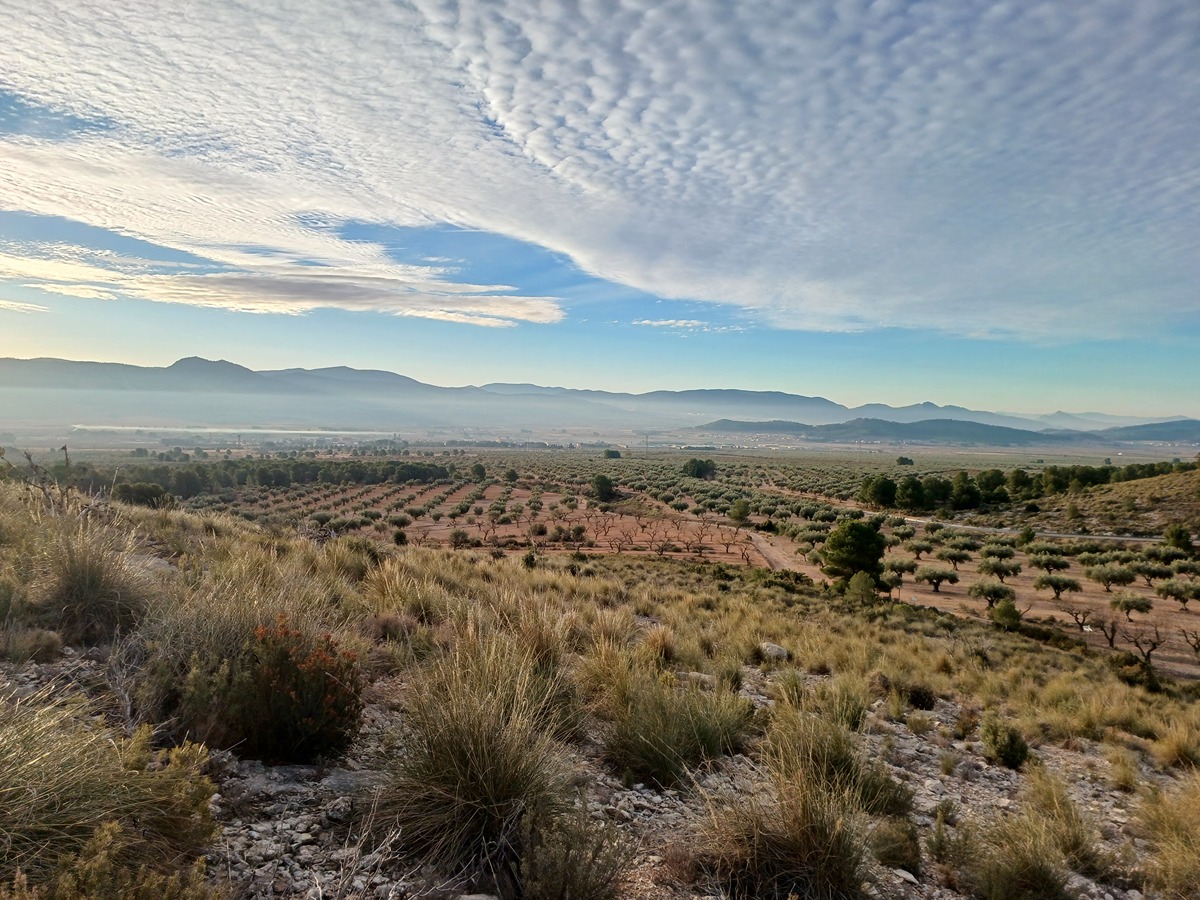
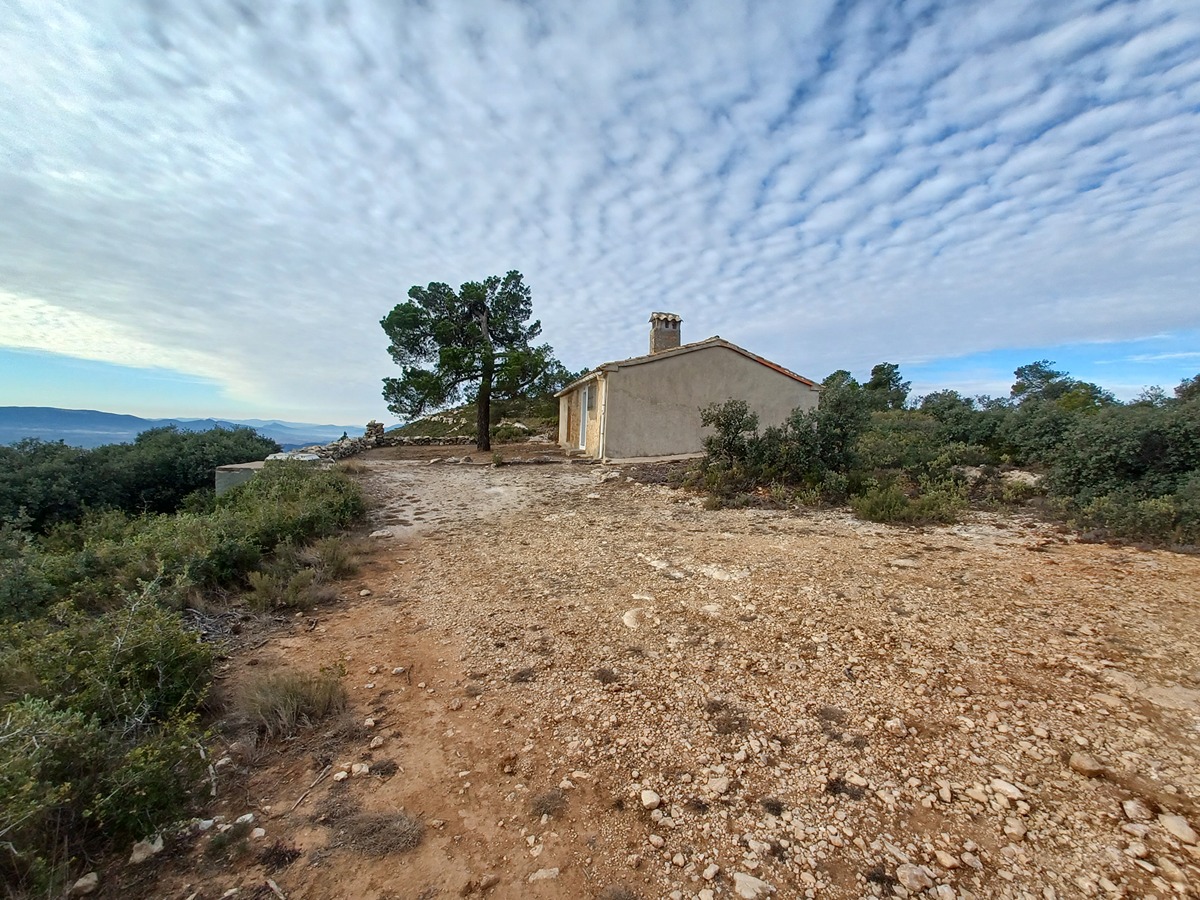
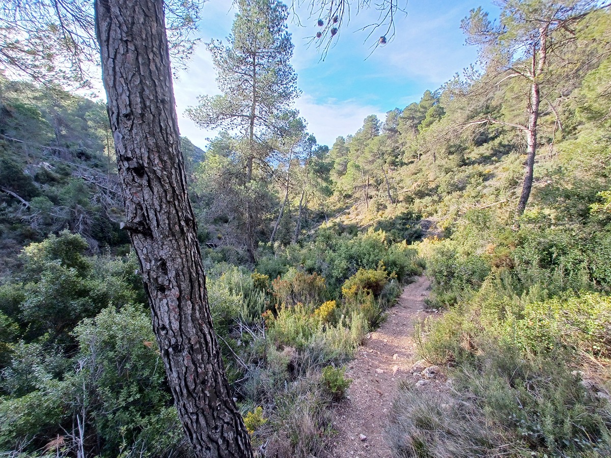
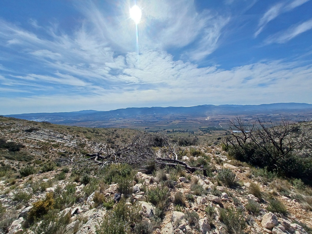
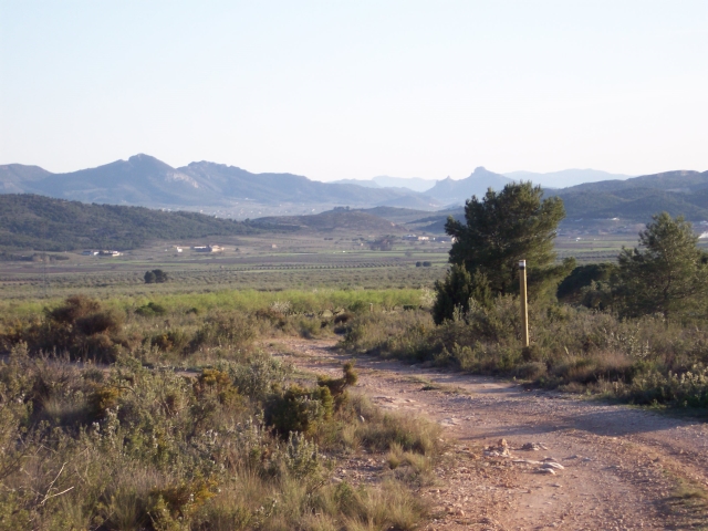
This route goes through the most important part of the Sierra de la Solana to the north of the municipality of Beneixama and also crosses the Valencian municipalities of Fontanars dels Alforins, Ontinyent and Banyeres de Mariola. This route goes through ravines and thick forests, springs, country estates, corrals and old buildings of great heritage value in a very important environmental setting, with spectacular views in all directions.
Trail:
Loop
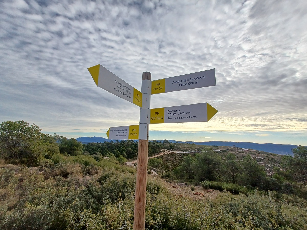
Alternative routes and routes leading to nearby points of interest
PR-CV 52.1 SENDA DELS AVIONS
Promoter: Grup de Muntanya Beneixama
Certification status: Positive quality control
Reference municipality: Beneixama
Length: 4,30 km
Estimated walking time: 01:10:00
Elevation gain: 60 m
Elevation loss: 285 m
(2)
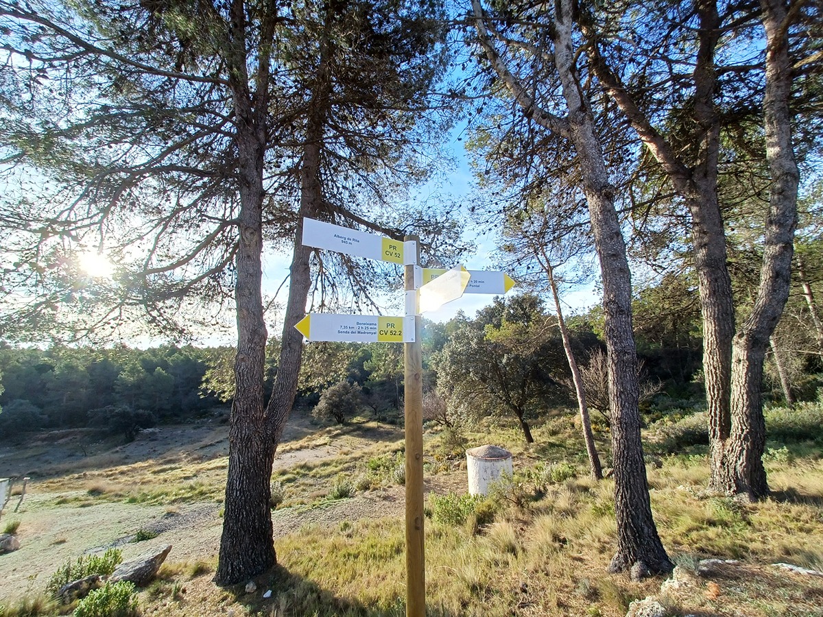
PR-CV 52.2 SENDA DEL MADRONYAL
Promoter: Grup de Muntanya Beneixama
Certification status: Positive quality control
Reference municipality: Beneixama
Length: 3,80 km
Estimated walking time: 01:15:00
Elevation gain: 290 m
Elevation loss: 45 m
(2)
PR-CV 52.3 SENDA DE LA LLOMA PRIMA
Promoter: Grup de Muntanya Beneixama
Certification status: Positive quality control
Reference municipality: Beneixama
Length: 4,80 km
Estimated walking time: 01:30:00
Elevation gain: 360 m
Elevation loss: 40 m
(2)
Other trails connecting with this trail
SL-CV 324 SENDA DE LA LLOMA DE LES CABRES
Promoter: Ayuntamiento de Beneixama
Certification status: No quality controls
Reference municipality: Beneixama
Length: 4,90 km
Estimated walking time: 01:40:00
Elevation gain: 345 m
Elevation loss: 60 m
(1)
