ES / EN / VA

Rate this trail

SL-CV 39 SENDA DE L'ESCALÓ

Promoter: Ayuntamiento de Quatretonda

Certification status: Positive quality control

1 review

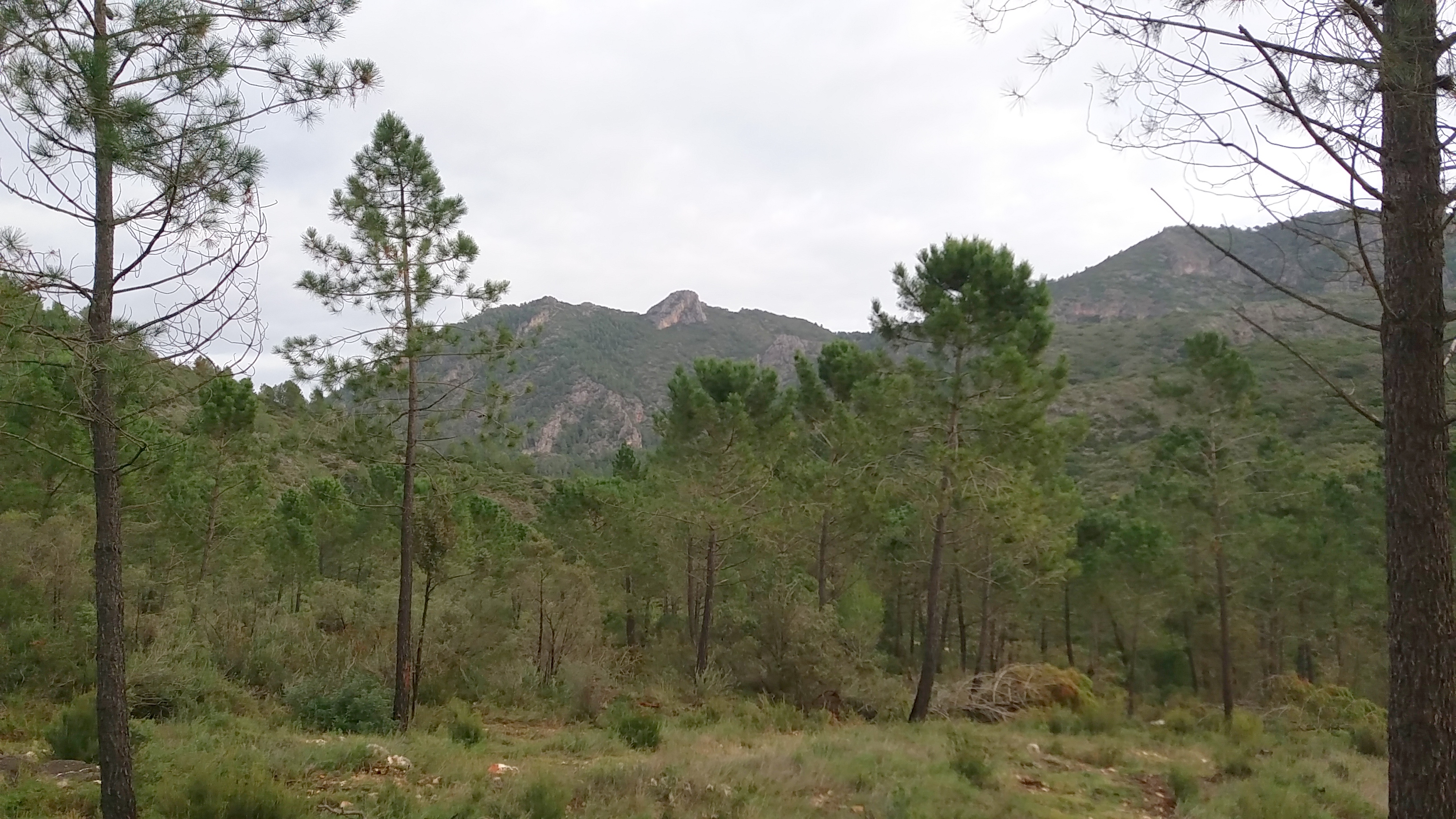
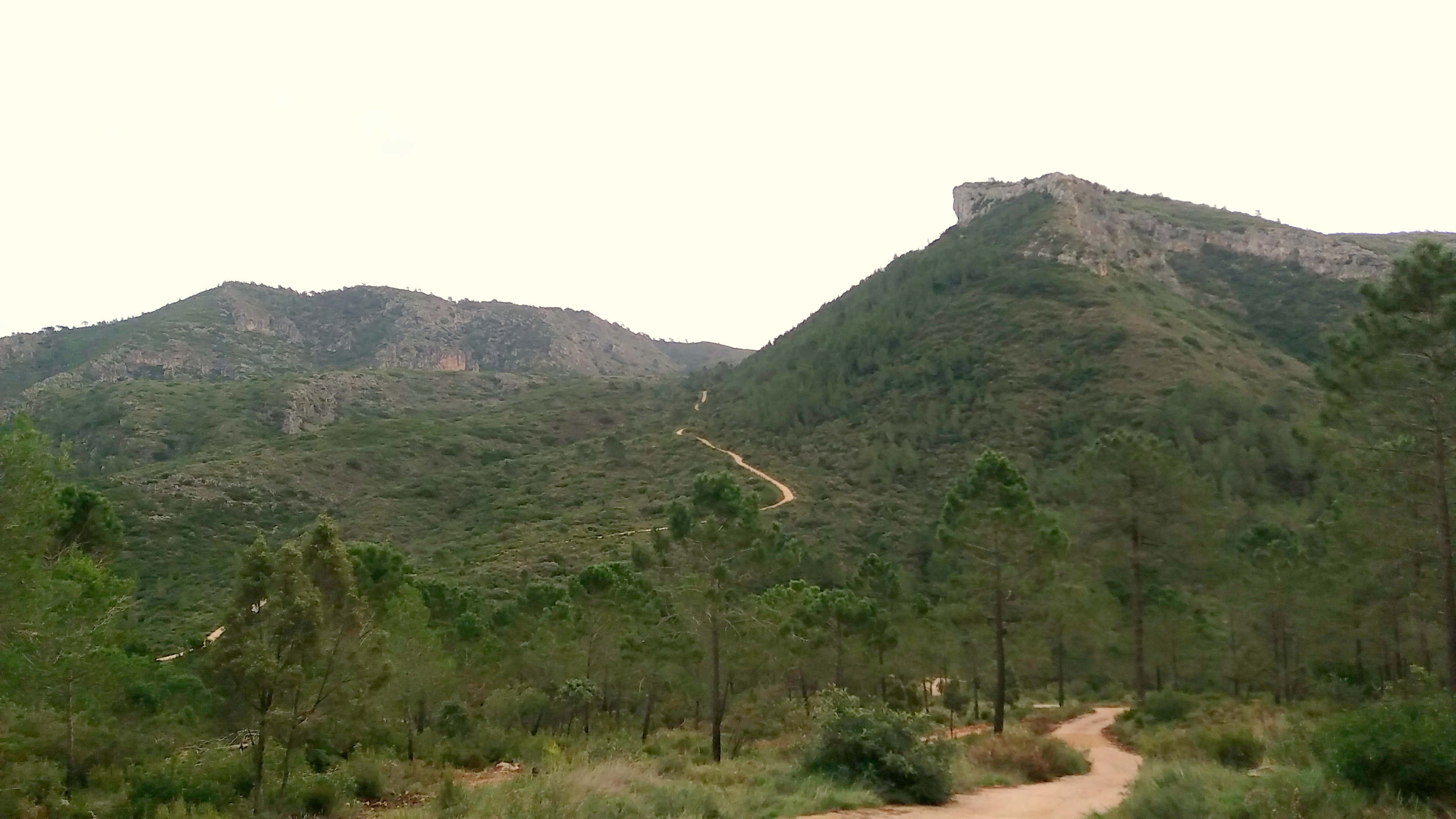
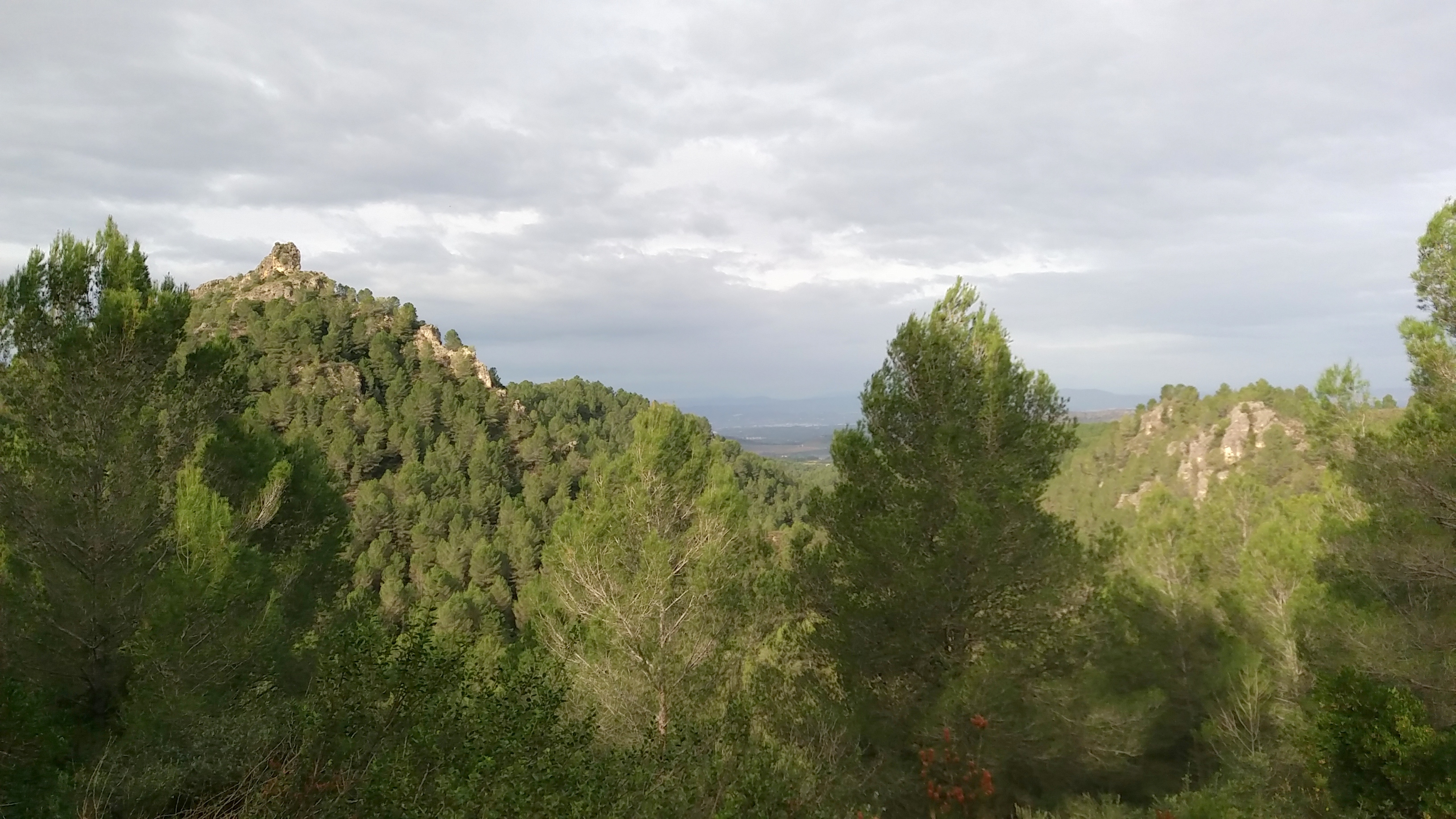
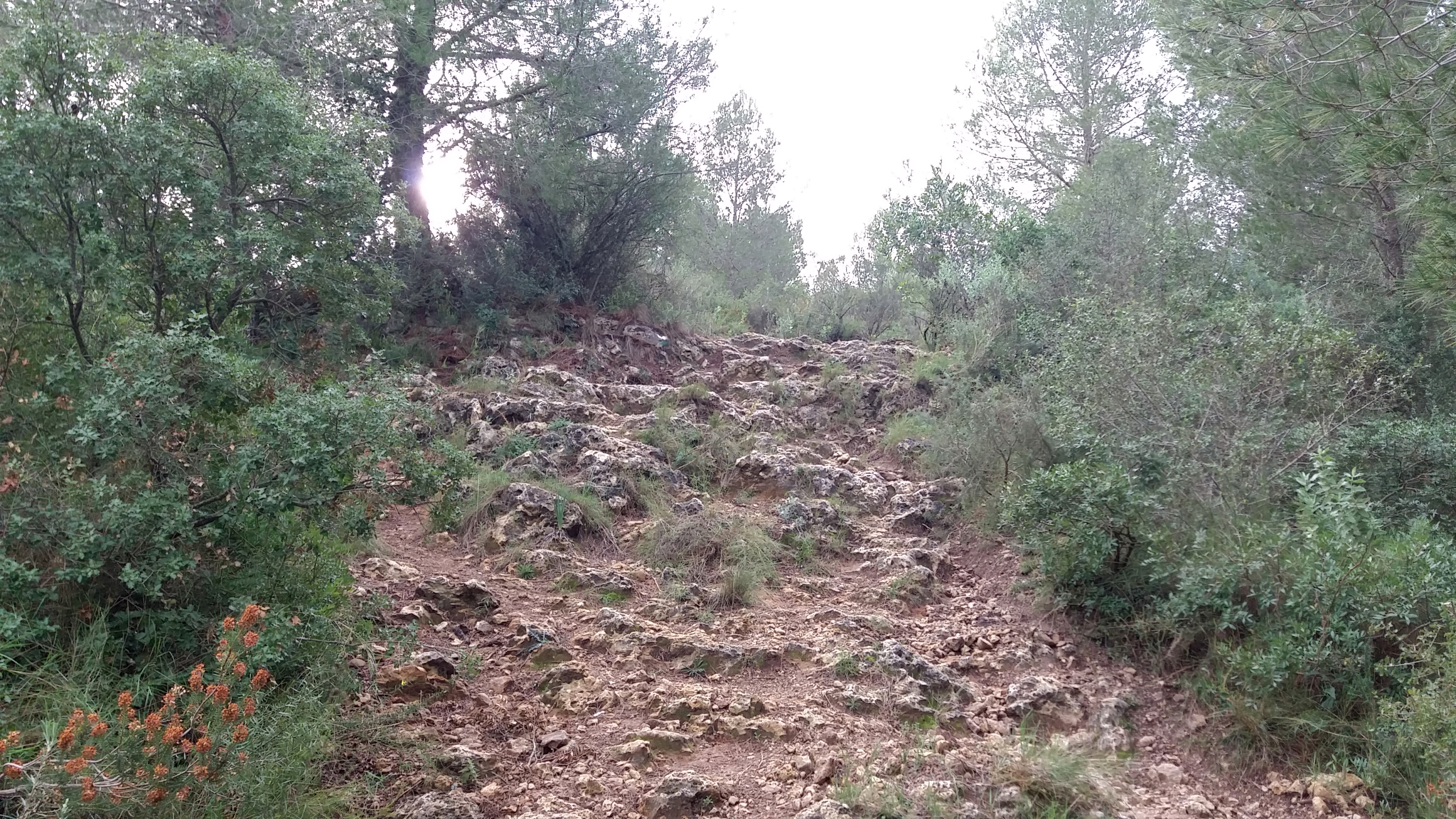
A beautiful and accessible circular route to get to know first-hand the Local Natural Area of Interest of Sierra de Quatretonda, a site with interesting areas of Mediterranean forest.

Trail:
Loop
Technical data:
Length:
5,70 km
Estimated walking time:
01:55:00
Elevation gain:
235 m
Elevation loss:
235 m
MIDE ratings:
Level of natural risks:
2
Navigation on the trail:
2
Hiking difficulty:
2
Fitness level needed:
2

More information on Montaña Segura

Difficulty rating according to FEDME:
Unknown
Useful information:
Date of certification:
15-02-2001
Date of the last Quality Control:
december de 2022
Reference municipality:
District:
Province:
Valencia/València
Cartography IGN MTN25:
0770-3; 0795-1

Downloadable from the Catalogue of the IGN Map Library

See other trails of this promoter:
Protected Natural Spaces:

We advise you to look up the regulations and/or authorisations for using the trails in these conservation areas on the website of the Conselleria de Medio Ambiente, Agua, Infraestructuras y Territorio

  • Pla de Mora (Flora Micro-reserve)
  • Serra de Quatretonda (Municipal Natural Site)
Key points of the route:

Path from Quatretonda to Pinet - Senda de l'Escaló (path) - Cucó de la Petaca (natural drinking trough) - Camí dels Colls Blancs (path) - Path from Quatretonda to Pinet

Route description (only available in Spanish)

Iniciamos el recorrido por el camino de Quatretonda a Pinet que va ganando altura con tramos cementados y de tierra. En el alto dejamos a la izquierda la senda de la umbría del Xim. Continuamos hasta llegar al cruce del camino y la senda de l'Escaló que seguiremos por la derecha.

Seguimos por la senda en descenso donde podemos acercarnos a la coveta de Mosquit, que queda a la derecha en el barranco. Seguimos nuestra marcha hasta cruzar el barranc de Mosquit y llegar al cruce del camí dels Colls Blancs, en el barranc de la Pedrusca. Ahora por la derecha remontamos una pequeña cuesta frente al Buscarró y volvemos a bajar hasta un cruce que donde seguimos el camino de la derecha y bajamos por el lado de la Mina de Arena al Pla de Mora hasta llegar a la pista de Quatretonda al Pla de Corral que tomamos a la derecha hasta llegar de nuevo al inicio.


Downloads:

Beware! Navigation devices may fail, batteries may run out of power and devices may break down. Do not use only electronic means to track your activities in the mountains; they must be used as a complement to the map and compass. Get some proper training and enjoy the mountains.

Other trails connecting with this trail
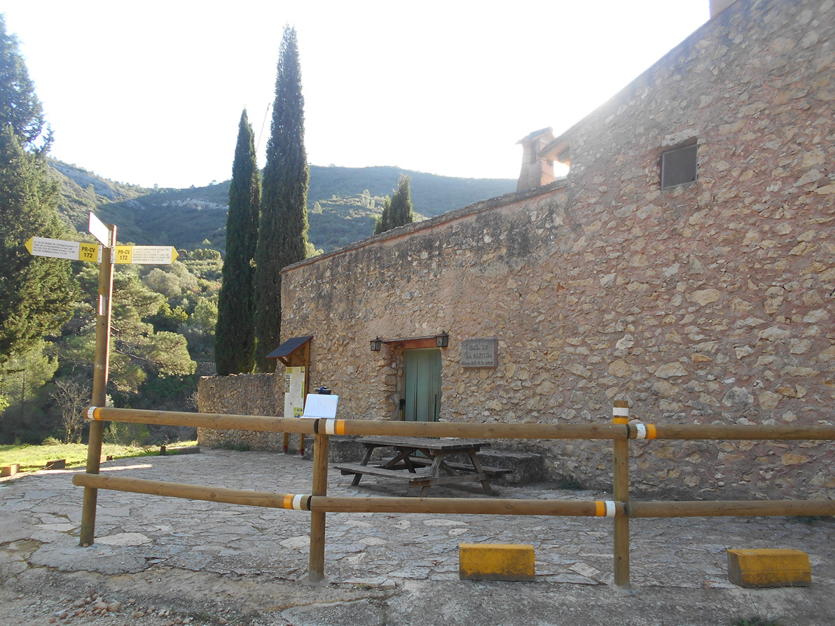