Rate this trail

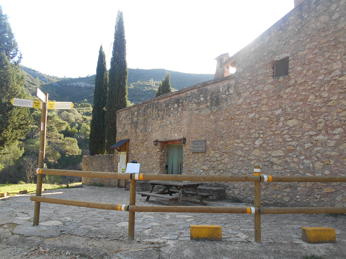
PR-CV 172 SENDA DEL MOLLÓ

Promoter: Ayuntamiento de Quatretonda

Certification status: Positive quality control

101 reviews

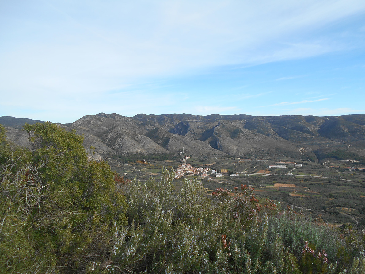
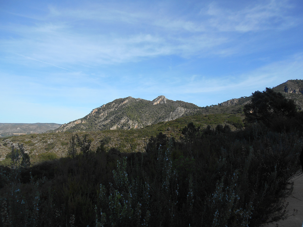
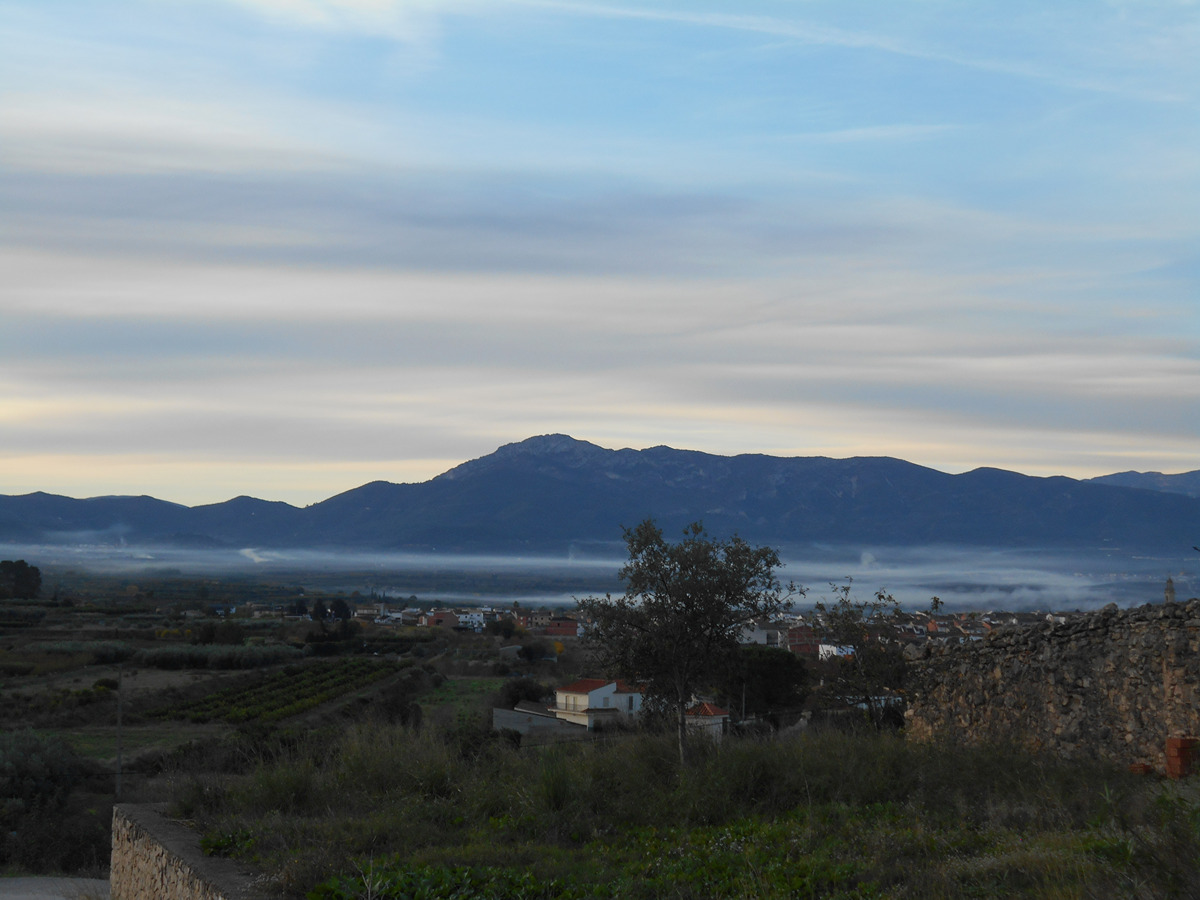
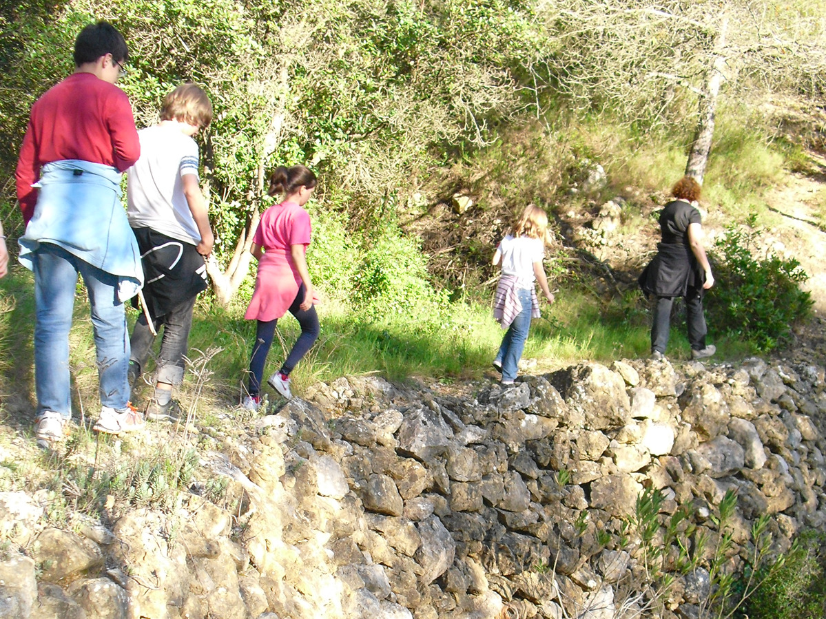
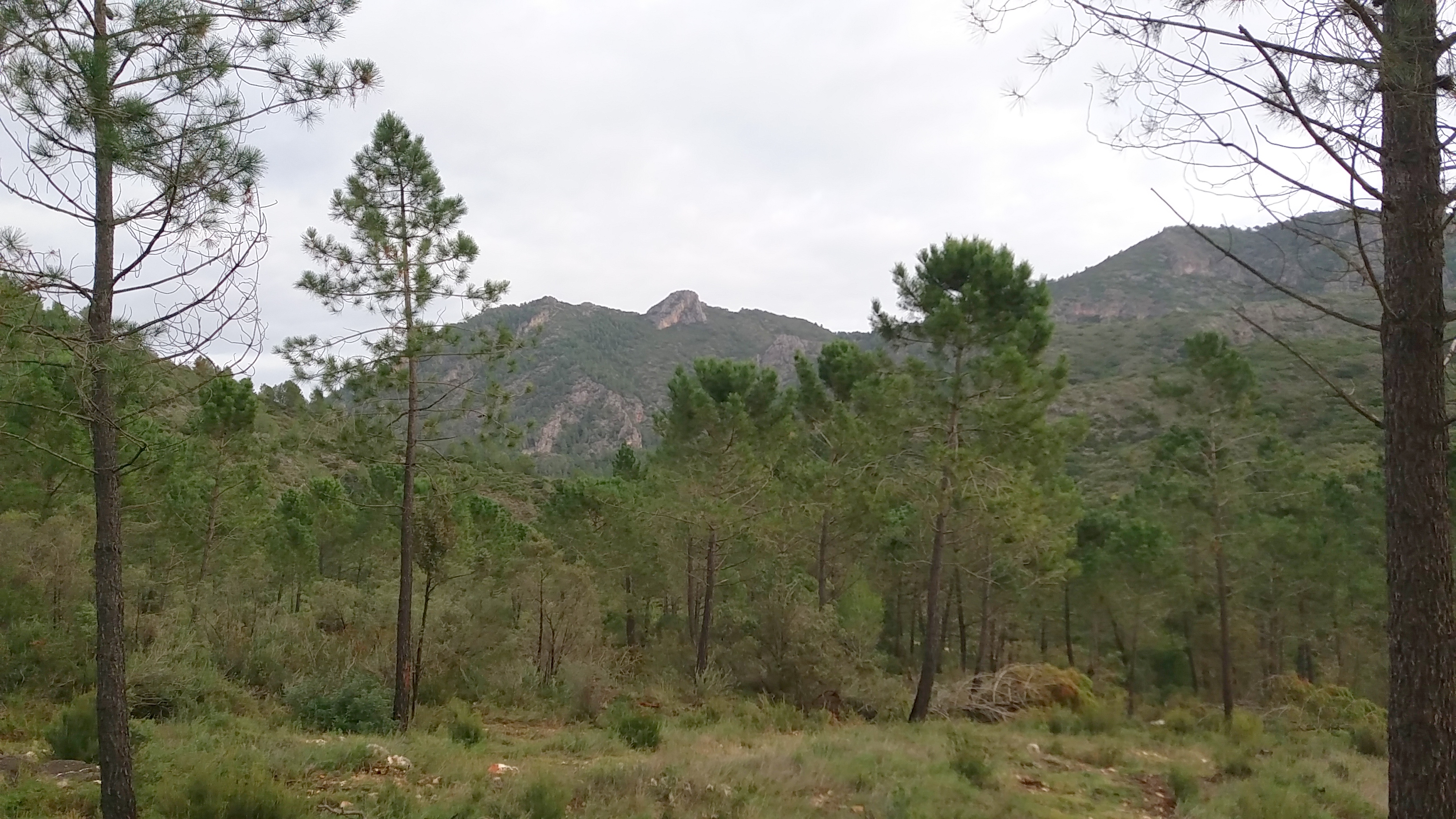
In a natural environment, after years of human exploitation, a Mediterranean forest of holm oaks, pines and rockroses is re-emerging, which has managed to avoid the latest fires. It is now up to you to preserve and maintain this heritage so that you can discover and walk along its paths and through its beautiful landscapes.

Trail:
Loop with some overlapping out and back sections
Technical data:
Length:
19,30 km
Estimated walking time:
06:00:00
Elevation gain:
560 m
Elevation loss:
560 m
MIDE ratings:
Level of natural risks:
2
Navigation on the trail:
2
Hiking difficulty:
2
Fitness level needed:
3

More information on Montaña Segura

Difficulty rating according to FEDME:
Unknown
Useful information:
Date of certification:
15-02-2001
Date of the last Quality Control:
november de 2022
Reference municipality:
District:
Province:
Valencia/València
Cartography IGN MTN25:
0795-1; 0795-2

Downloadable from the Catalogue of the IGN Map Library

See other trails of this promoter:
Protected Natural Spaces:

We advise you to look up the regulations and/or authorisations for using the trails in these conservation areas on the website of the Conselleria de Medio Ambiente, Agua, Infraestructuras y Territorio

  • Montdúver - Marjal de la Safor (SPAB - Special Protection Area for Birds)
  • Serra de Quatretonda (Municipal Natural Site)
  • Serra del Motduver i Marxuquera (SIC - Site of Community Interest)
  • Serres del Montdúver i Marxuquera (SAC - Special Area of Conservation)
Key points of the route:

Quatretonda - Camino de la Serra (path) - Coll de l'Anglés (col) - El Molló - Pla d'Engolidors (plain) - Refugi de la Bastida (refuge) - Cova de la Falaguera (cave) - Caseta del Tio Honorio (old rural house) - Pla de la Penya (plain) - Corral de Toni (corral) - Coll de l'Anglés (col) - Quatretonda

Route description (only available in Spanish)

Partimos de núcleo urbano para continuar por el camí de la Serra entre antiguos corrales y chalés. Llegamos a un cruce que seguimos hacia la derecha por senda, ahora en ascenso hacia el collado de l'Anglés. En este punto empieza el tramo circular. Nosotros elegimos hacia la izquierda por un barranco hasta el cruce y seguimos hasta el Molló. Continuamos por senda hacia la izquierda ya por el altiplano. Desestimamos un sendero a la izquierda para continuar por la derecha por el camí de Quatretonda al Pla de Corrals, hacia la izquierda ahora llegamos al área recreativa del Pla d’Engolidors. Por pista encontramos el refugio de la Bastida. A unos 200m del refugio abandonamos la pista para acometer una subida bastante exigente que nos deja en el cruce de la lloma Plana y continuar hacia la cova de la Falaguera. Pasamos junta a la casa del Tio Honorio y seguimos por una senda paralela al barranco y en ascenso hasta el pla de la Penya donde tenemos una magnifica vista de toda la Vall d'Albaida, el Benicadell, la Safor, el Buixcarró y de Pinet. Hacia la derecha por el altiplano llegamos a la casa Cassi. Ya en descenso por la senda del barranc dels Conills pasaremos cerca del corral de Toni, continuando por la senda hasta el camí de Quatretonda al Pla de Corrals. En este punto giramos a la izquierda para desembocar en un cruce de caminos, que luego tomamos a la derecha para llegar de nuevo al collado de l'Anglés y fin del tramo circular. Solo queda deshacer el tramo inicial i bajar a Quatretonda.

Downloads:

Beware! Navigation devices may fail, batteries may run out of power and devices may break down. Do not use only electronic means to track your activities in the mountains; they must be used as a complement to the map and compass. Get some proper training and enjoy the mountains.

Alternative routes and routes leading to nearby points of interest

Other trails connecting with this trail