Cambiar idioma a español / Cambiar idioma a english / Cambiar idioma a valencià

Rate this trail

SL-CV 48 SENDERO DEL PORTELL

Promoter: Ayuntamiento de Montserrat

Certification status: Conditioned quality control

0 reviews

Following the inspection carried out by trail technicians, this trail has been declared of "limited adequacy" as a result of the faults detected in the signage. These include inadequate horizontal signs (paint markers) and/or vertical ones (trailheads and information boards) or lacking direction markers that do not provide sufficient information to properly follow the route. The builder of this trail has been informed of the situation.
For safety reasons and during maintenance work, it is advised to be extremely careful while taking this route. Furthermore, mountain sports entail risks associated with the activity itself and the environment where they take place, for which any person is fully liable. For this reason, hikes need to be planned properly and adequate training, equipment and sensible use of the trails are required.

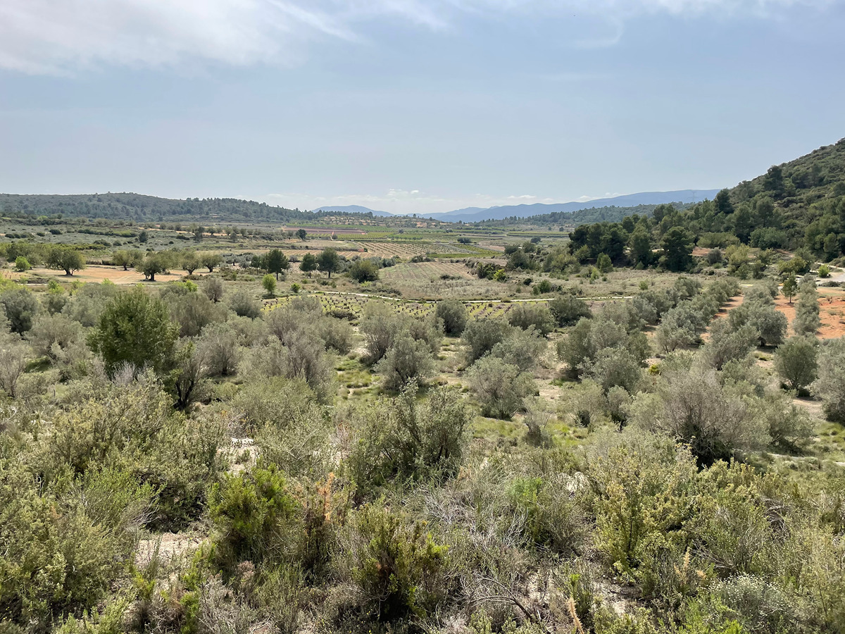
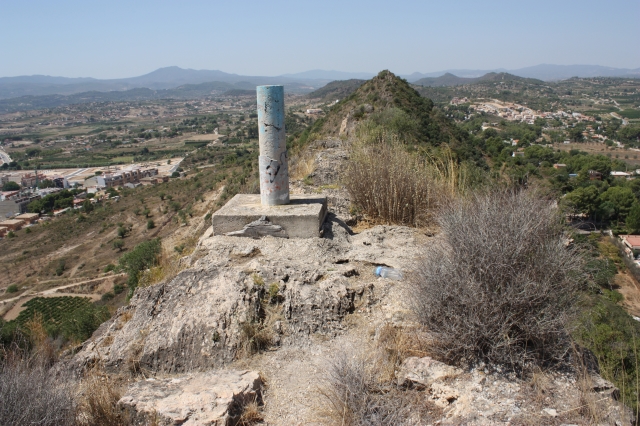
The trail introduces us to the Castellet mountain range, located north of the town. It is formed by two small hills reaching a maximum elevation of 285 m, where the remains of Montserrat Castle can be found. The route also passes through the Castellet micro-reserve, home to several endemic plant species.

Trail:
Loop with some overlapping out and back sections
Technical data:
Length:
3,80 km
Estimated walking time:
01:15:00
Elevation gain:
155 m
Elevation loss:
155 m
MIDE ratings:
Level of natural risks:
2
Navigation on the trail:
2
Hiking difficulty:
2
Fitness level needed:
2

More information at Montaña Segura

Difficulty rating according to FEDME:
Unknown
Useful information:
Date of certification:
15-04-2004
Date of the act of registration in the Public Register:
22-05-2007
Date of the last Quality Control:
june de 2026
Reference municipality:
District:
Province:
Valencia/València
Cartography IGN MTN25:
0721-4

You can download them from the IGN Map Library Catalog

See other trails of this promoter:
Protected Natural Spaces:

It is recommended to consult the regulations and/or authorizations for the use of trails in these protected natural areas on the website of the Regional Ministry of Environment, Water, Infrastructure, and Territory

  • El Castellet (Flora Micro-reserve)
Weather information:
Nearest AVAMET weather station
Key points of the route:

Polideportivo de Montserrat (local Sports Centre) - Start of first circular section- Collado del Portell (col) - Start of second circular section - El Castellet (castle) - End of second circular section - Collado del Portell (col) - End of first circular section - Polideportivo de Montserrat (local Sports Centre)

Route description (only available in Spanish)

Desde el final del aparcamiento del polideportivo podemos bajar al área recreativa del Pantà para enlazar con el PR-CV 272.

Cruzamos al otro lado de la carretera CV-416 y tomamos una senda que asciende y cruza una pista asfaltada. A los pocos metros encontramos el punto de inicio del primer tramo circular. Seguimos la senda de la derecha por la solana para bordear la cima del Castellet y llegar al camino del Portell y al collado del mismo nombre. Un poco más arriba está el punto de inicio del segundo tramo circular.

De nuevo tomamos la senda de la solana para bordear el Castellet de Montserrat y su vértice geodésico. Seguimos hasta el final de la loma para subir y volver por la cara norte, la umbría, hasta el collado. El siguiente tramo también lo realizaremos por la derecha hasta el inicio de la senda para bajar al polideportivo por el mismo itinerario de subida.

Downloads:

Beware! Navigation devices may fail, batteries may run out of power and devices may break down. Do not use only electronic means to track your activities in the mountains; they must be used as a complement to the map and compass. Get some proper training and enjoy the mountains.

Other trails connecting with this trail