ES / EN / VA

Rate this trail

SL-CV 62 SENDA DE LAS ÁREAS RECREATIVAS

Promoter: Ayuntamiento de Aras de los Olmos

Certification status: No quality controls

0 reviews

There is no proof of quality control on the record of this trail in the last years. For this reason, it is unknown whether it complies with the optimal signage and maintenance conditions for hikers to take the trail following these signs exclusively.
Hikers have to take into consideration that the information about the signage and maintenance of the trails for which the promoter entity is responsible might not be up to date anymore, since it refers to its state on the date of its approval. Furthermore, mountain sports entail risks associated with the activity itself and the environment where they take place, for which any person is fully liable. For this reason, hikes need to be planned properly and adequate training, equipment and sensible use of the trails are required.

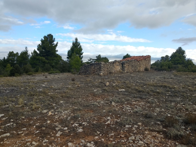
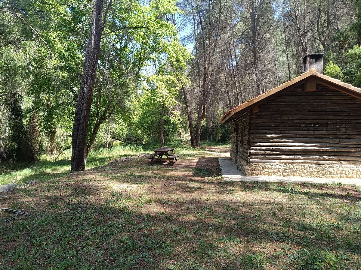
Itinerary of great environmental value that starts at Corral del Barbero and goes through several camping areas and shelters between ravines and near the Turia River. It crosses the ravines of Valdelagua and La Araña and the camping area of Los Rubiales and Los Arces, as well as the shelters of Los Mangranos and La Cocinilla. At the end, you can approach the Puente Grande bridge and its impressive views over the Turia River.

Trail:
One way (point-to-point)
Technical data:
Length:
10,00 km
Estimated walking time:
02:45:00
Elevation gain:
225 m
Elevation loss:
560 m
MIDE ratings:
Level of natural risks:
2
Navigation on the trail:
2
Hiking difficulty:
2
Fitness level needed:
2

More information on Montaña Segura

Difficulty rating according to FEDME:
Unknown
Interest Tags:
Trail with environmental interes
Useful information:
Date of certification:
15-09-2006
Date of the act of registration in the Public Register:
22-05-2007
Date of the last Quality Control:
september de 2019
Reference municipality:
District:
Province:
Valencia/València
Cartography IGN MTN25:
0637-2; 0638-1

Downloadable from the Catalogue of the IGN Map Library

See other trails of this promoter:
Protected Natural Spaces:

We advise you to look up the regulations and/or authorisations for using the trails in these conservation areas on the website of the Conselleria de Medio Ambiente, Agua, Infraestructuras y Territorio

  • Alto Turia (Biosphere reserve)
  • Alto Turia y Sierra del Negrete (SPAB - Special Protection Area for Birds)
Weather information:
Key points of the route:

Corral del Barbero (corral) - Barranco de Valdelagua (ravine) - Barranco de la Araña (ravine) - Los Rubiales and Los Arces Campsite - Refugio Los Mangranos (refuge) - Refugio La Cocinilla (refuge) - Carretera CM-9221 (road)

Route description (only available in Spanish)

 La ruta se inicia en el Corral del Barbero y la intersección con el PR-CV 187 en suave descenso y dirección NE por pista hacia el Barranco de Valdelagua. Pasado éste, nos adentramos en una bonita zona: el Sabinar, girando hacia el oeste por sendero de herradura para llegar al Barranco de la Araña.  En este punto, coincidimos con el PR-CV 307, donde seguiremos descendiendo por una acequia que nos lleva al depósito de captación, cercano al área de acampada de Los Rubiales y Los Arces. Las vistas en el mirador del río Turia/riu Túria son excelentes. Seguimos avanzando por la vertiente izquierda siguiendo la pista hasta la fuente del refugio de Los Magranos donde volvemos a coincidir con el PR-CV 307 en la Rinconada de Polo. Dejamos el PR y continuamos en la parte de menos altitud del recorrido hasta el refugio de la Cocinilla. Alcanzado este punto queda llegar en leve ascenso hasta la carretera CM-9221 y acercarnos (400 m) a ver el espectacular Puente Grande sobre el río Turia/riu Túria.     

Downloads:

Beware! Navigation devices may fail, batteries may run out of power and devices may break down. Do not use only electronic means to track your activities in the mountains; they must be used as a complement to the map and compass. Get some proper training and enjoy the mountains.

Other trails connecting with this trail