
PR-CV 187 LOS RUBIALES - RÍO TURIA
Promoter: Ayuntamiento de Aras de los Olmos
Certification status: Conditioned quality control
Following the inspection carried out by trail technicians, this trail has been declared of "limited adequacy" as a result of the faults detected in the signage. These include inadequate horizontal signs (paint markers) and/or vertical ones (trailheads and information boards) or lacking direction markers that do not provide sufficient information to properly follow the route. The builder of this trail has been informed of the situation.
For safety reasons and during maintenance work, it is advised to be extremely careful while taking this route. Furthermore, mountain sports entail risks associated with the activity itself and the environment where they take place, for which any person is fully liable. For this reason, hikes need to be planned properly and adequate training, equipment and sensible use of the trails are required.
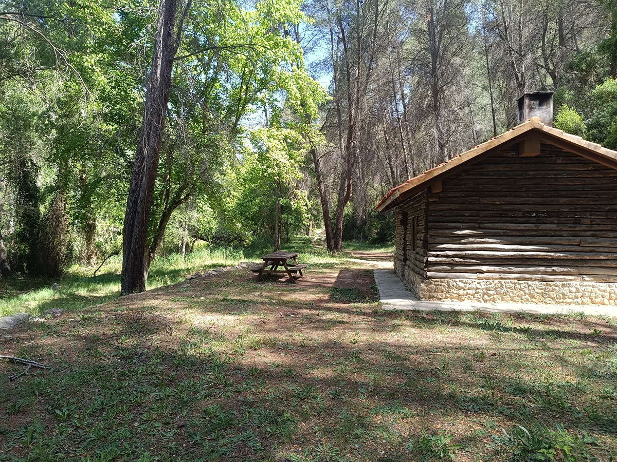
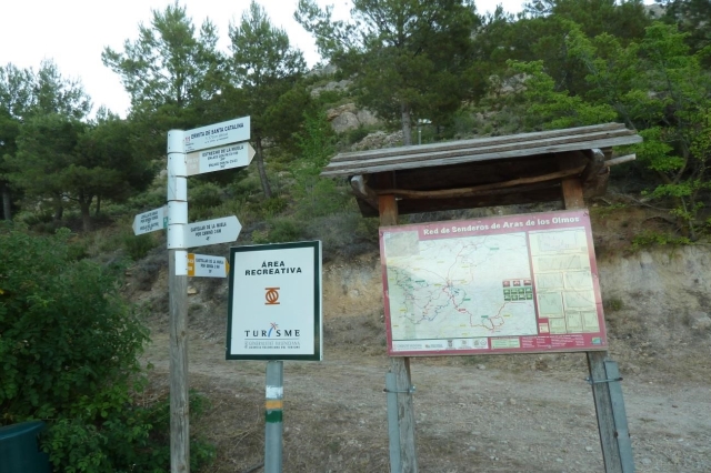
This short trail takes you to the lush forests of the Turia River, connecting the town centre of Aras de los Olmos with the main recreational areas of the municipality, most notably, the camping area and youth camp of Los Rubiales.
Other trails connecting with this trail
SL-CV 22 BARRANCO DEL REGAJO
Promoter: Ayuntamiento de Aras de los Olmos
Certification status: Conditioned quality control
GR 37 E01 ARAS DE LOS OLMOS - TITAGUAS
Promoter: S.M. Societat Excursionista de València Guaita
Certification status: No quality controls
Etapa número: 1

GR 37 E05 LA TORRE - ARAS DE LOS OLMOS
Promoter: S.M. Societat Excursionista de València Guaita
Certification status: Negative quality control
Etapa número: 5
SL-CV 62 SENDA DE LAS ÁREAS RECREATIVAS
Promoter: Ayuntamiento de Aras de los Olmos
Certification status: No quality controls
PR-CV 130 LA MUELA - PEÑABLANCA
Promoter: Ayuntamiento de Aras de los Olmos
Certification status: Conditioned quality control
PR-CV 188 LA MUELA ARAS - RÍO TURIA
Promoter: Ayuntamiento de Aras de los Olmos
Certification status: No quality controls
