Rate this trail

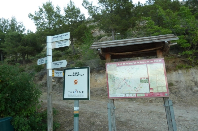
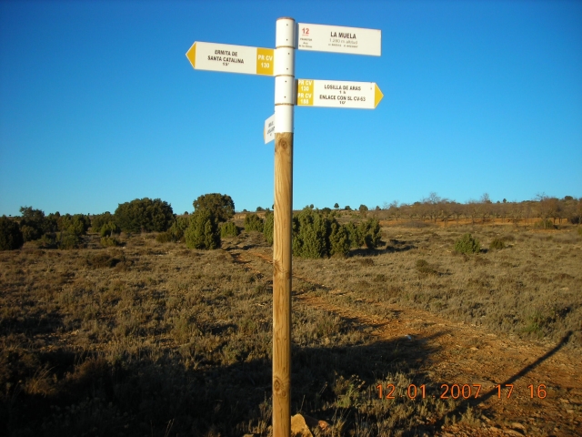
PR-CV 188 LA MUELA ARAS - RÍO TURIA

Promoter: Ayuntamiento de Aras de los Olmos

Certification status: Conditioned quality control

0 reviews

Following the inspection carried out by trail technicians, this trail has been declared of "limited adequacy" as a result of the faults detected in the signage. These include inadequate horizontal signs (paint markers) and/or vertical ones (trailheads and information boards) or lacking direction markers that do not provide sufficient information to properly follow the route. The builder of this trail has been informed of the situation.
For safety reasons and during maintenance work, it is advised to be extremely careful while taking this route. Furthermore, mountain sports entail risks associated with the activity itself and the environment where they take place, for which any person is fully liable. For this reason, hikes need to be planned properly and adequate training, equipment and sensible use of the trails are required.

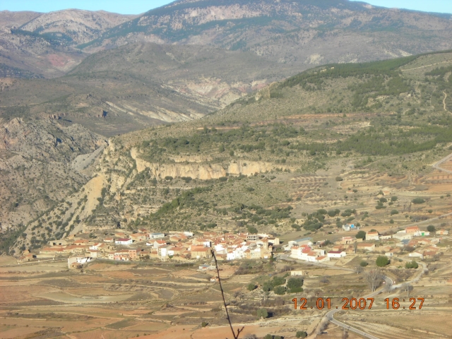
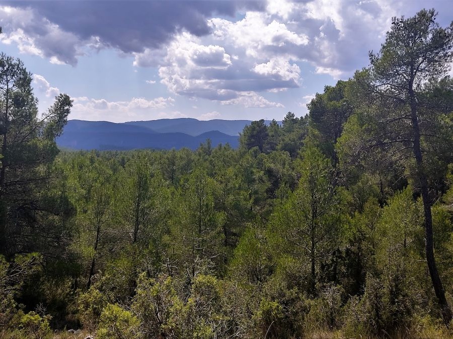
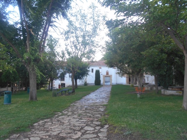
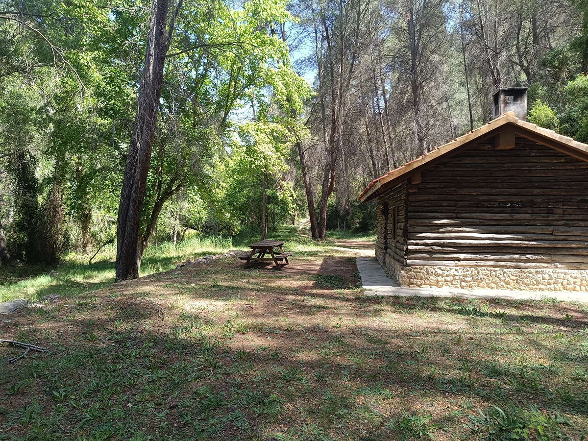
This is the only path that starts from the town centre of Aras or Losilla, and its strongest point is that, in a single route, you can go from the 1,325 m of the Santa Catalina butte to the 550 m of the Turia river at the Marqués bridge.

Trail:
One way (point-to-point)
Technical data:
Length:
17,60 km
Estimated walking time:
04:40:00
Elevation gain:
315 m
Elevation loss:
905 m
MIDE ratings:
Level of natural risks:
2
Navigation on the trail:
2
Hiking difficulty:
2
Fitness level needed:
3

More information on Montaña Segura

Difficulty rating according to FEDME:
Unknown
Starting point:
End Point:
Puente del Marqués
Useful information:
Date of the act of registration in the Public Register:
22-05-2007
Date of the last Quality Control:
august de 2018
Reference municipality:
District:
Province:
Valencia/València
Cartography IGN MTN25:
0638- 1; 0638- 3

Downloadable from the Catalogue of the IGN Map Library

See other trails of this promoter:
Protected Natural Spaces:

We advise you to look up the regulations and/or authorisations for using the trails in these conservation areas on the website of the Conselleria de Medio Ambiente, Agua, Infraestructuras y Territorio

  • Alto Turia y Sierra del Negrete (SPAB - Special Protection Area for Birds)
  • Sabinar de Alpuente (SIC - Site of Community Interest)
  • Sabinar de Alpuente - Alto Turia (SAC - Special Area of Conservation)
Weather information:
Key points of the route:

Ermita de Santa Catalina (chapel) - Umbría de la Muela (shady side) - La Muela - Barranco de las Tejerías (ravine) - Fuente de los Ojuelos (spring) - Hoya de Gil Abad (pit) - Aras de los Olmos - GR 37 Connection - La Sartaneja - Hoya Hermosa (pit) (connection PR-CV 187) - Camino Escaleruela (path) - Puente del Marques (bridge) - Río Turia (river)

Route description (only available in Spanish)

Partiendo del panel explicativo de la ermita de Santa Catalina, nos dirigiremos hacia la umbría de la Muela, nos vamos adentrando en una pinada de pino negral, en este punta ya se divisa Losilla de Aras. Desde aquí ascendemos a la Muela, a para al paraje próximo a los Tornajos, siguiendo por senda cruzamos el PR - CV 130 a la altura de la pista forestal que divide el altiplano de la Muela. Al cabo de 1km en dirección a La Hoya del Gil Abad en su limite oeste, nos internamos en el barranco de las Tejerías, varias son las fuentes que desembocan sus aguas a este barranco, como la fuente del Brollador o Los Ojuelos. Cruzamos una pinada y observamos una valla metálica que nos indica los limites de la finca ganadera y cinegética de La Hoya de Gil Abad. Más adelante vemos una pequeña balsa de agua perdida, esto nos indica que estamos en los Ojuelos, ya en descenso dando vistas a Aras de los Olmos, llegaremos al corral del Romeral y través de cultivos abandonados llegamos al pueblo. Cruzamos el casco urbano y ascendemos coincidiendo con el GR 37 hasta los primeros pinos de después del cementerio, Aquí atravesamos un altiplano de pedriza, que borde el paraje de La Sartaneja, hasta llegar por una senda que da vistas al valle del río Turia, a la Hoya Hermosa. Ahora en dirección suroeste seguimos el camino de la Escaleruela encontramos el PR - CV 187, y por el puntal de las Rozas aquí abandonamos el camino y por su umbría hasta descender al río Turia y el puente del Marques y finalizar la ruta.  

Downloads:

Beware! Navigation devices may fail, batteries may run out of power and devices may break down. Do not use only electronic means to track your activities in the mountains; they must be used as a complement to the map and compass. Get some proper training and enjoy the mountains.

Other trails connecting with this trail