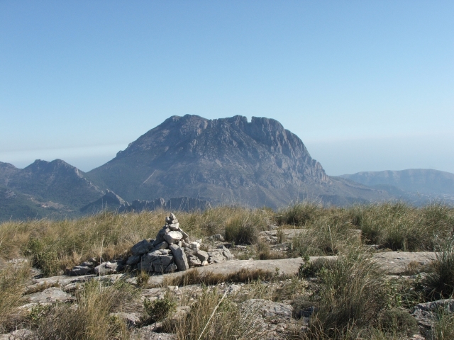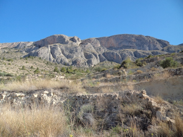
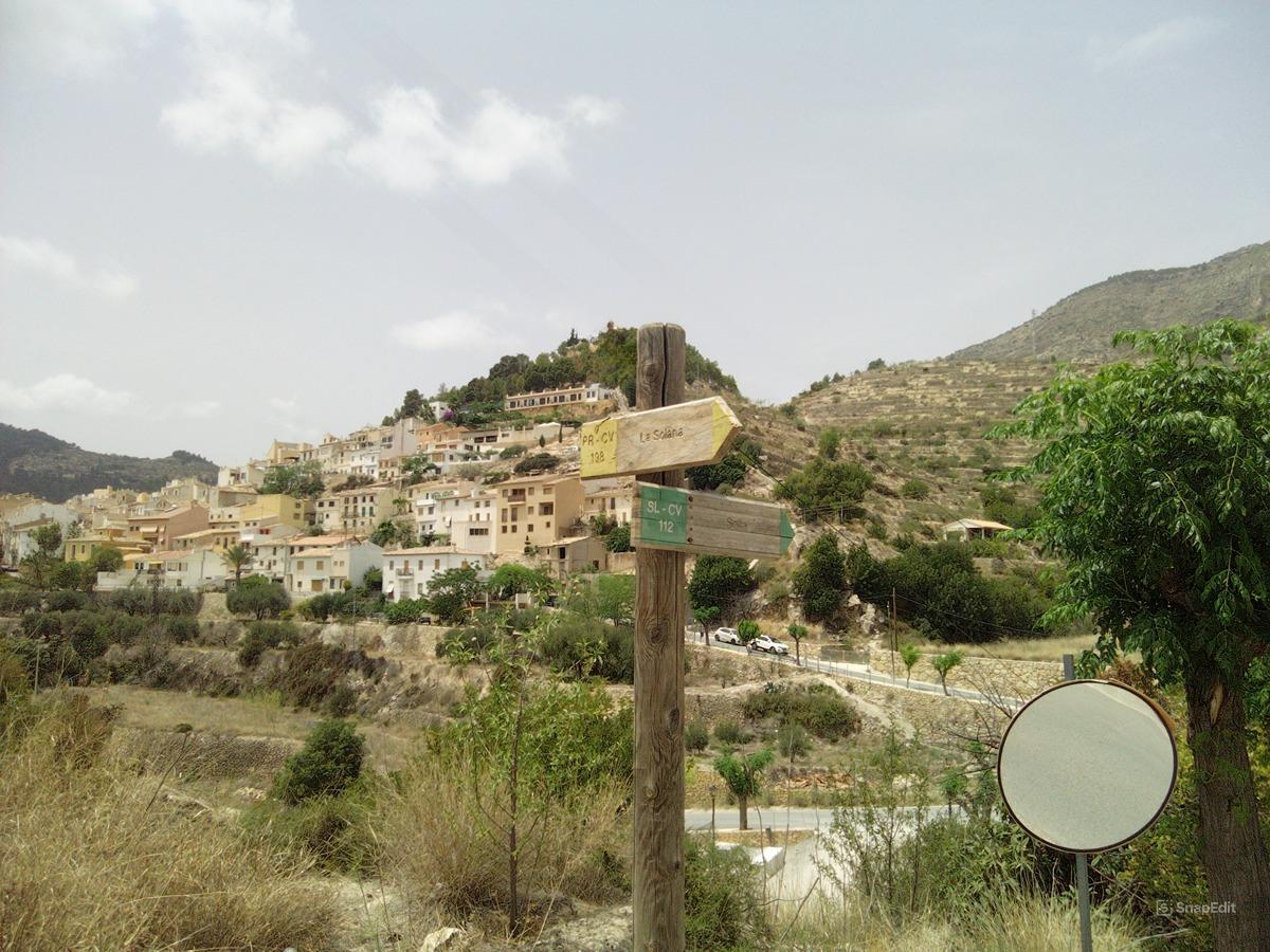
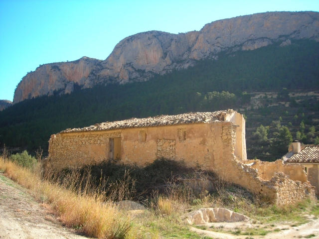
SL-CV 112 RUTA DEL AGUA
Promoter: Ayuntamiento de Sella
Certification status: No quality controls
There is no proof of quality control on the record of this trail in the last years. For this reason, it is unknown whether it complies with the optimal signage and maintenance conditions for hikers to take the trail following these signs exclusively.
Hikers have to take into consideration that the information about the signage and maintenance of the trails for which the promoter entity is responsible might not be up to date anymore, since it refers to its state on the date of its approval. Furthermore, mountain sports entail risks associated with the activity itself and the environment where they take place, for which any person is fully liable. For this reason, hikes need to be planned properly and adequate training, equipment and sensible use of the trails are required.
This route takes you past several old mills on the River Sella, and various water-powered constructions in the river and springs. Approximately halfway along this route, you pass by the Font de l'Alcàntera recreational area.
Other trails connecting with this trail
PR-CV 9 SELLA - BENIMANTELL
Promoter: Diputación de Alicante
Certification status: Positive quality control

PR-CV 10 SELLA - BENIFATO
Promoter: Diputación de Alicante
Certification status: De-registered / De-approved
PR-CV 11 SELLA - SELLA
Promoter: Diputación de Alicante
Certification status: De-registered / De-approved
PR-CV 12 FINESTRAT - SELLA
Promoter: Diputación de Alicante
Certification status: Positive quality control
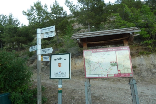
PR-CV 188 LA MUELA ARAS - RÍO TURIA
Promoter: Ayuntamiento de Aras de los Olmos
Certification status: No quality controls