Rate this trail

PR-CV 12 FINESTRAT - SELLA

Promoter: Diputación de Alicante

Certification status: Positive quality control

0 reviews

There is no proof of quality control on the record of this trail in the last years. For this reason, it is unknown whether it complies with the optimal signage and maintenance conditions for hikers to take the trail following these signs exclusively.
Hikers have to take into consideration that the information about the signage and maintenance of the trails for which the promoter entity is responsible might not be up to date anymore, since it refers to its state on the date of its approval. Furthermore, mountain sports entail risks associated with the activity itself and the environment where they take place, for which any person is fully liable. For this reason, hikes need to be planned properly and adequate training, equipment and sensible use of the trails are required.

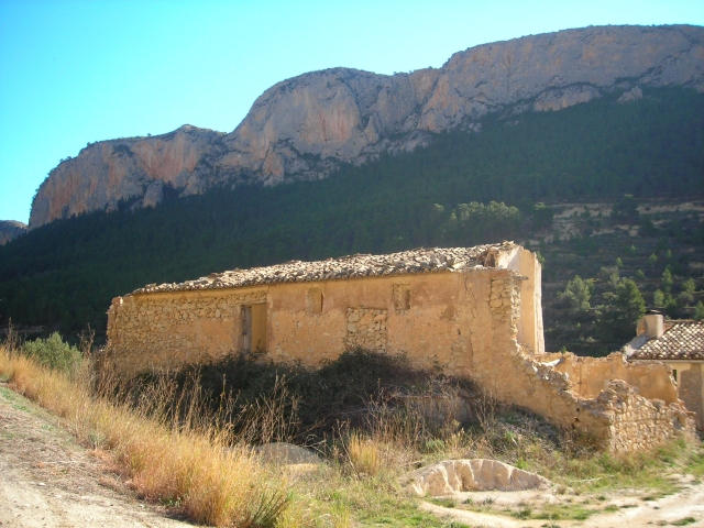
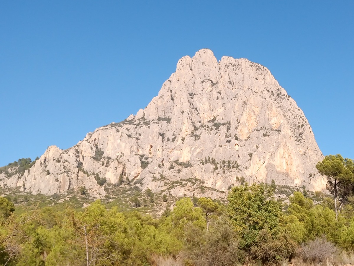
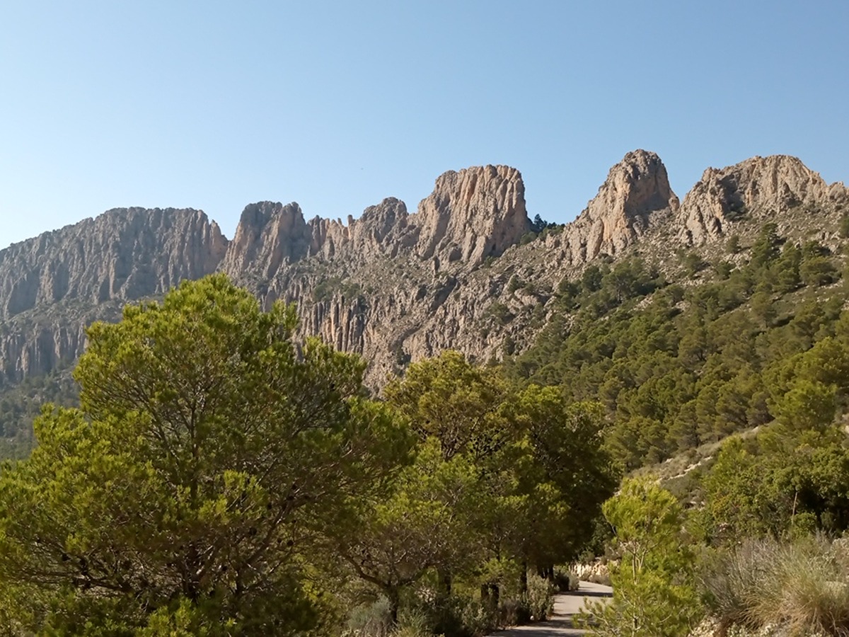
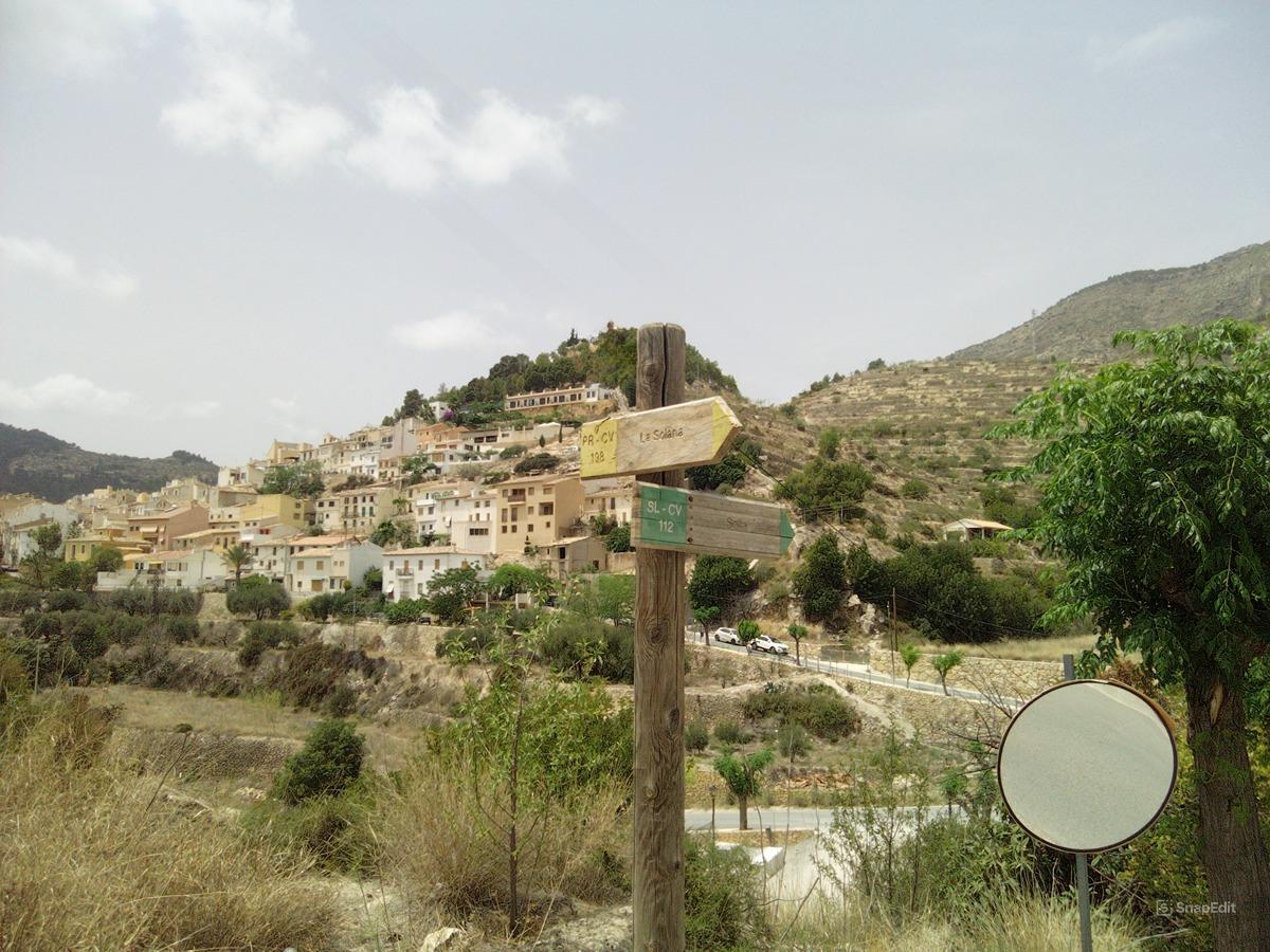
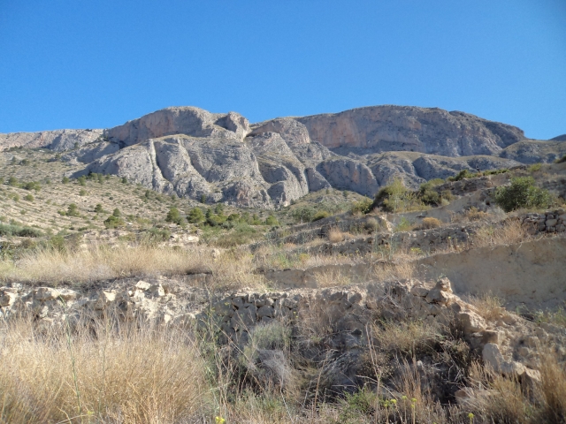
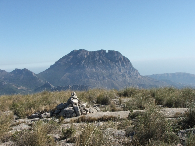
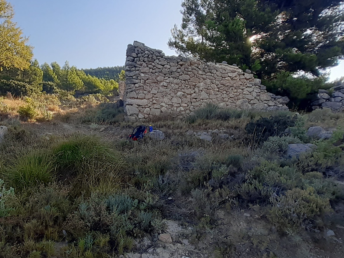
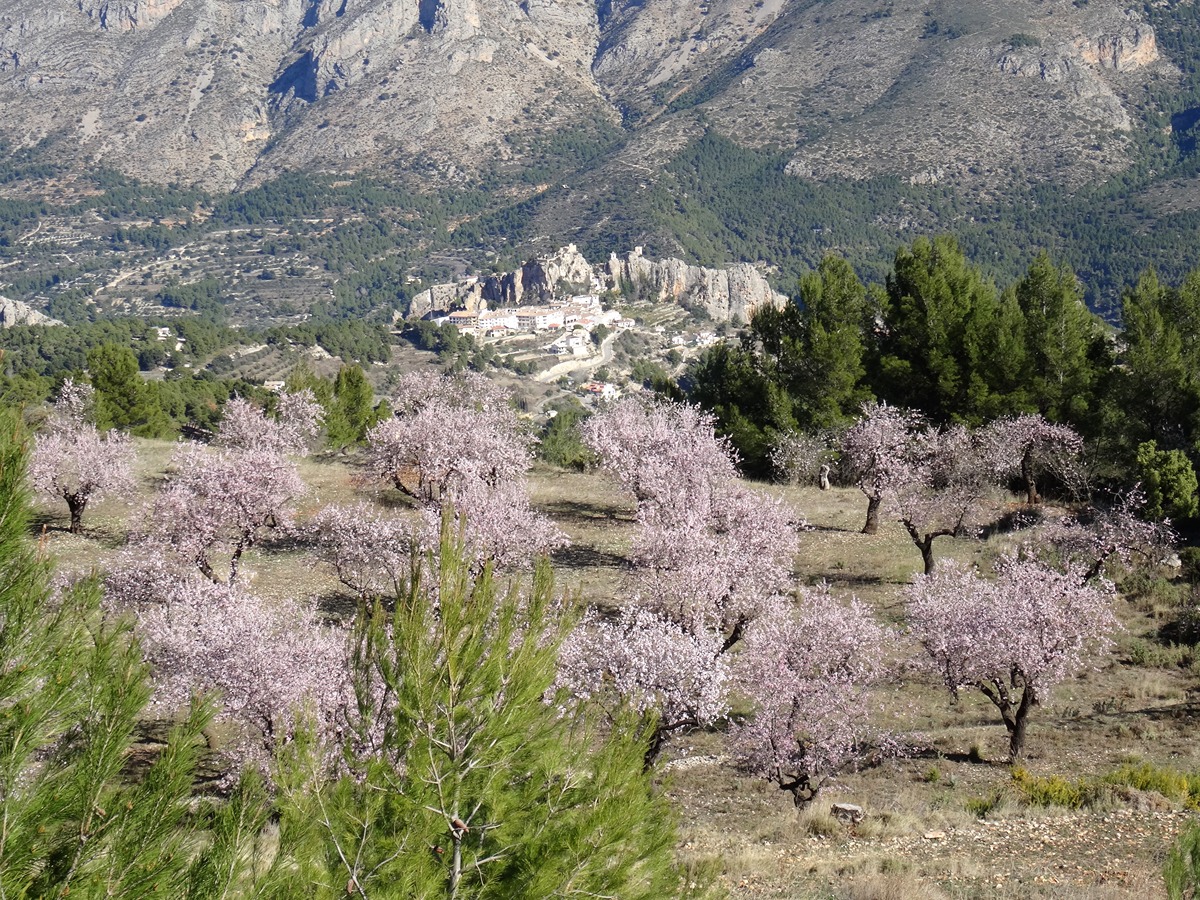
This trail runs entirely along dirt tracks or asphalt paved tracks, bordering in one section the of Puig Campana and Ponotx. A landscape to preserve, characterised by its altitude, biodiversity and proximity to the sea, which define the main environmental and geomorphological features of these mountain ranges, namely, walls, spires and crests carved out of the limestone rock.

Trail:
One way (point-to-point)
Technical data:
Length:
17,30 km
Estimated walking time:
05:45:00
Elevation gain:
555 m
Elevation loss:
510 m
MIDE ratings:
Level of natural risks:
2
Navigation on the trail:
2
Hiking difficulty:
2
Fitness level needed:
3

More information on Montaña Segura

Difficulty rating according to FEDME:
Unknown
End Point:
Useful information:
Date of certification:
15-09-1995
Date of the act of registration in the Public Register:
22-05-2007
Date of the last Quality Control:
july de 2024
Reference municipality:
Otros municipios por los que transcurre:
District:
Province:
Alicante/Alacant
Cartography IGN MTN25:
0847-2; 0847-4

Downloadable from the Catalogue of the IGN Map Library

See other trails of this promoter:
Protected Natural Spaces:

We advise you to look up the regulations and/or authorisations for using the trails in these conservation areas on the website of the Conselleria de Medio Ambiente, Agua, Infraestructuras y Territorio

  • Aitana, Serrella y Puig Campana (SIC - Site of Community Interest)
  • Muntanyes de la Marina (SPAB - Special Protection Area for Birds)
  • Puig Campana y Ponotx (Protected Landscape)
Key points of the route:

Font del Molí (spring) - Coll de Sacarest (col) - Coll de Tafarmaig (col) - Refugio del Arc (refuge) - Font de l'Alcántara recreation area - Sella

Route description (only available in Spanish)

Desde la Font de Molí nos dirigimos hacia el norte en suave ascenso por un camino asfaltado por el valle del Realet, divisando de frente la imponente mole del Puig Campana al que nos vamos acercando con nuestra marcha. El camino, en prolongado ascenso, continua entre pinadas y bancales de cultivo y rodea la base de la montaña por su vertiente oeste con vistas de la Sierra dels Castellets a nuestra izquierda. Llegamos al collado de Sacarest, máxima altura de este recorrido y comenzamos el descenso hasta  atravesar el barranco de Sacarest donde el camino gira a la izquierda y pasa por el Mas de Sacarest. El camino continua en descenso por el valle del Charquer entre grandes pinos hasta llegar de nuevo a zonas de cultivo de almendros en dirección al collado de Tafarmaig donde el camino asciende ligeramente hasta alcanzarlo. A partir de este collado entramos en el Barranc del Arc y tras pasar por la zona de escalada y por el refugio del Arc el camino llega al cruce con la pista que recorre todo este valle. Continuamos por esta pista a la izquierda y   pasaremos cerca del área recreativa de la Font de l´Alcántara, muy cerca ya de Sella donde acaba esta ruta.

Downloads:

Beware! Navigation devices may fail, batteries may run out of power and devices may break down. Do not use only electronic means to track your activities in the mountains; they must be used as a complement to the map and compass. Get some proper training and enjoy the mountains.

Other trails connecting with this trail