Rate this trail

PR-CV 13 FINESTRAT - POLOP

Promoter: Diputación de Alicante

Certification status: Positive quality control

1 review

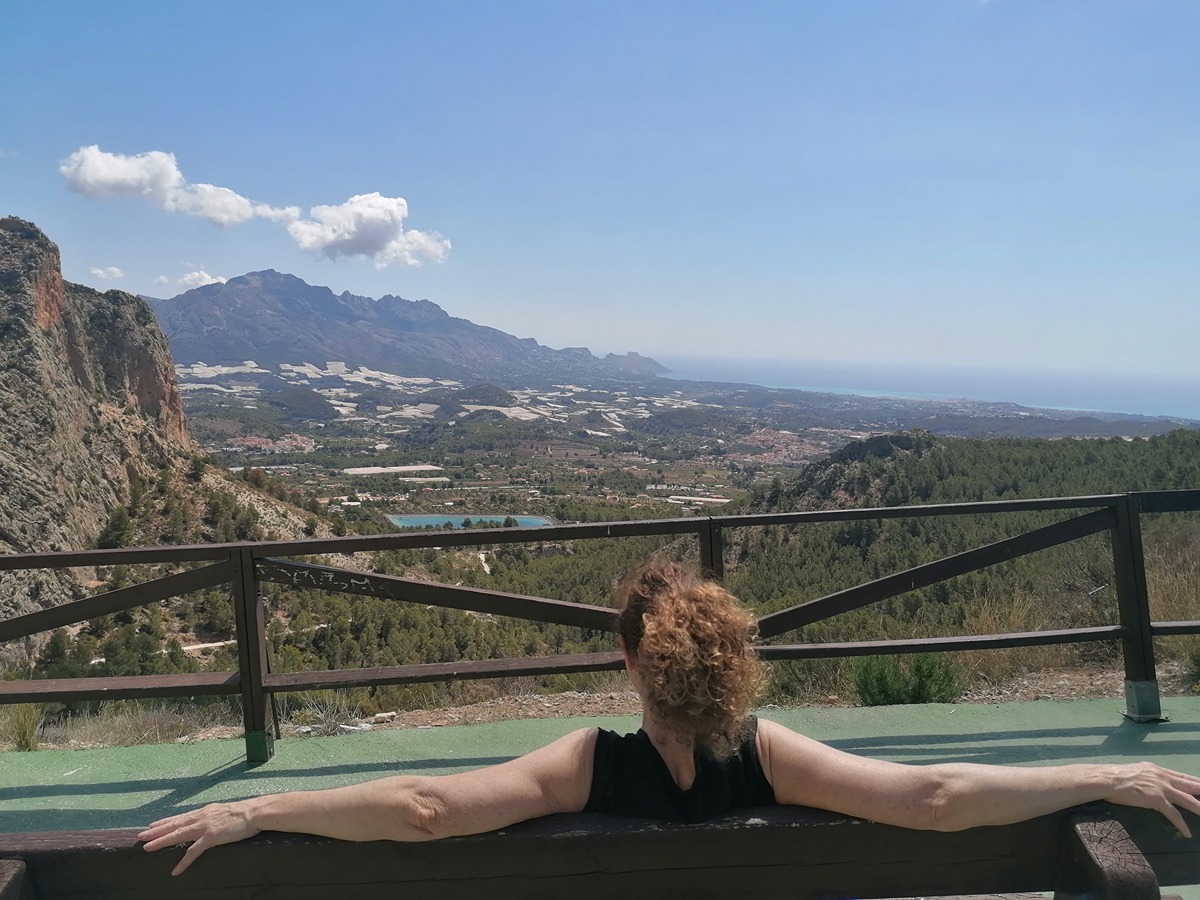
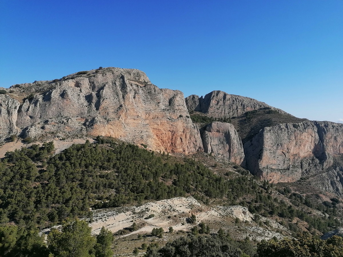
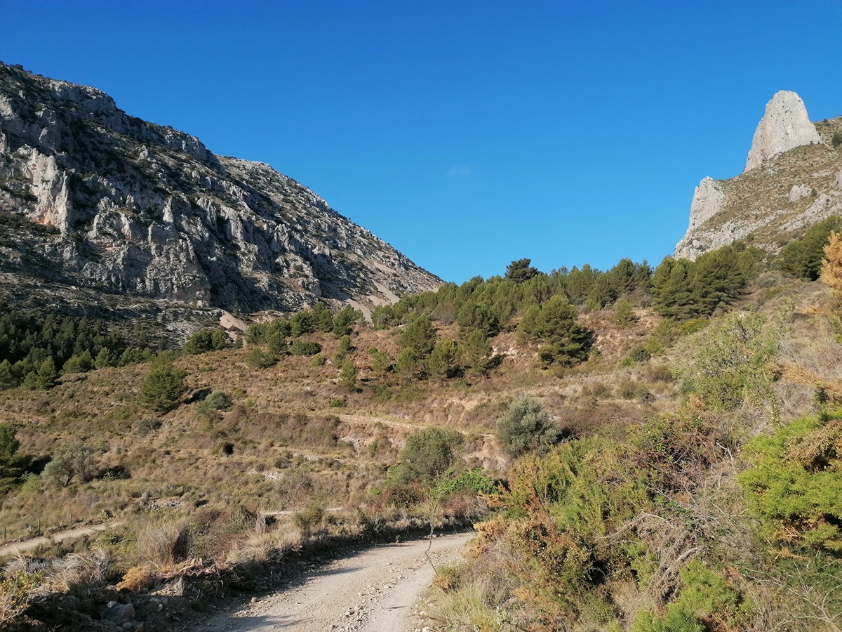
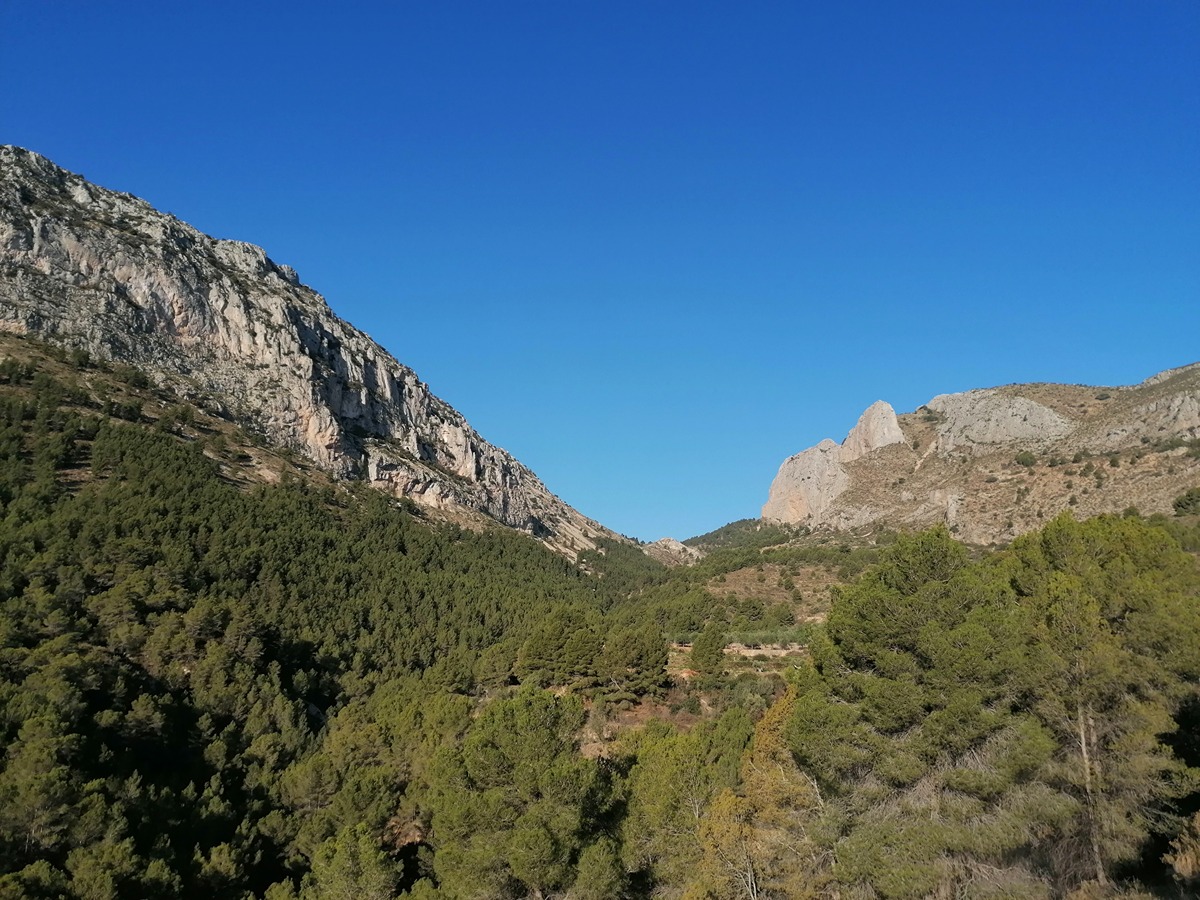
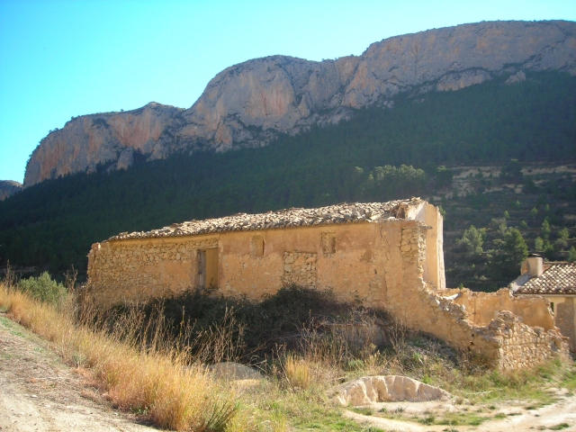
This route connects the towns of Finestrat and Polop, with the Puig Campana and Ponoig mountains as waypoints. You will walk through pine trees along the way and enjoy spectacular views.

Trail:
One way (point-to-point)
Technical data:
Length:
13,60 km
Estimated walking time:
05:00:00
Elevation gain:
725 m
Elevation loss:
835 m
MIDE ratings:
Level of natural risks:
3
Navigation on the trail:
2
Hiking difficulty:
3
Fitness level needed:
3

More information on Montaña Segura

Difficulty rating according to FEDME:
Unknown
Useful information:
Date of certification:
15-09-1995
Date of the act of registration in the Public Register:
22-05-2007
Reference municipality:
Otros municipios por los que transcurre:
District:
Province:
Alicante/Alacant
Cartography IGN MTN25:
0848-1; 0847-2; 0847-4

Downloadable from the Catalogue of the IGN Map Library

See other trails of this promoter:
Protected Natural Spaces:

We advise you to look up the regulations and/or authorisations for using the trails in these conservation areas on the website of the Conselleria de Medio Ambiente, Agua, Infraestructuras y Territorio

  • Aitana, Serrella y Puig Campana (SIC - Site of Community Interest)
  • Aitana, Serrella y Puig Campana (SAC - Special Area of Conservation)
  • Muntanyes de la Marina (SPAB - Special Protection Area for Birds)
  • Puig Campana y Ponotx (Protected Landscape)
Key points of the route:

Font del Molí (spring) - Coll del Pouet (col) - Coll del Llamp (col) - Coveta de la Moscarda (cave) - Casa de Dios (old rural house) - End of route - Polop - Bar - Café Ensueño (café)

Route description (only available in Spanish)

Desde la font del Molí, situada a los pies del Puig Campana, el sendero se dirige hacia el norte, ascendiendo gradualmente por senda bien marcada para pasar por el refugio José Manuel Vera. El sendero continúa hacia el collado del Pouet, ofreciendo vistas impresionantes del Puig Campana y del valle circundante. Desde aquí, la ruta asciende hacia el collado del Llamp, uno de los puntos más altos del recorrido, con panorámicas espectaculares tanto del Mediterráneo como de las montañas interiores.

Tras el collado del Llamp, el sendero desciende ligeramente y atraviesa el collado de la Coveta de la Moscarda. El camino sigue hacia la casa de Déu. Más adelante, el sendero llega al área recreativa del Castellet para, a partir de aquí, coger el tramo de asfalto que irá descendiendo. Cruzaremos la carretera CV-70 cerca de la rotonda. Finalmente, el recorrido termina cerca del casco urbano de Polop, enfrente del Bar-Café Ensueño.

Downloads:

Beware! Navigation devices may fail, batteries may run out of power and devices may break down. Do not use only electronic means to track your activities in the mountains; they must be used as a complement to the map and compass. Get some proper training and enjoy the mountains.

Alternative routes and routes leading to nearby points of interest
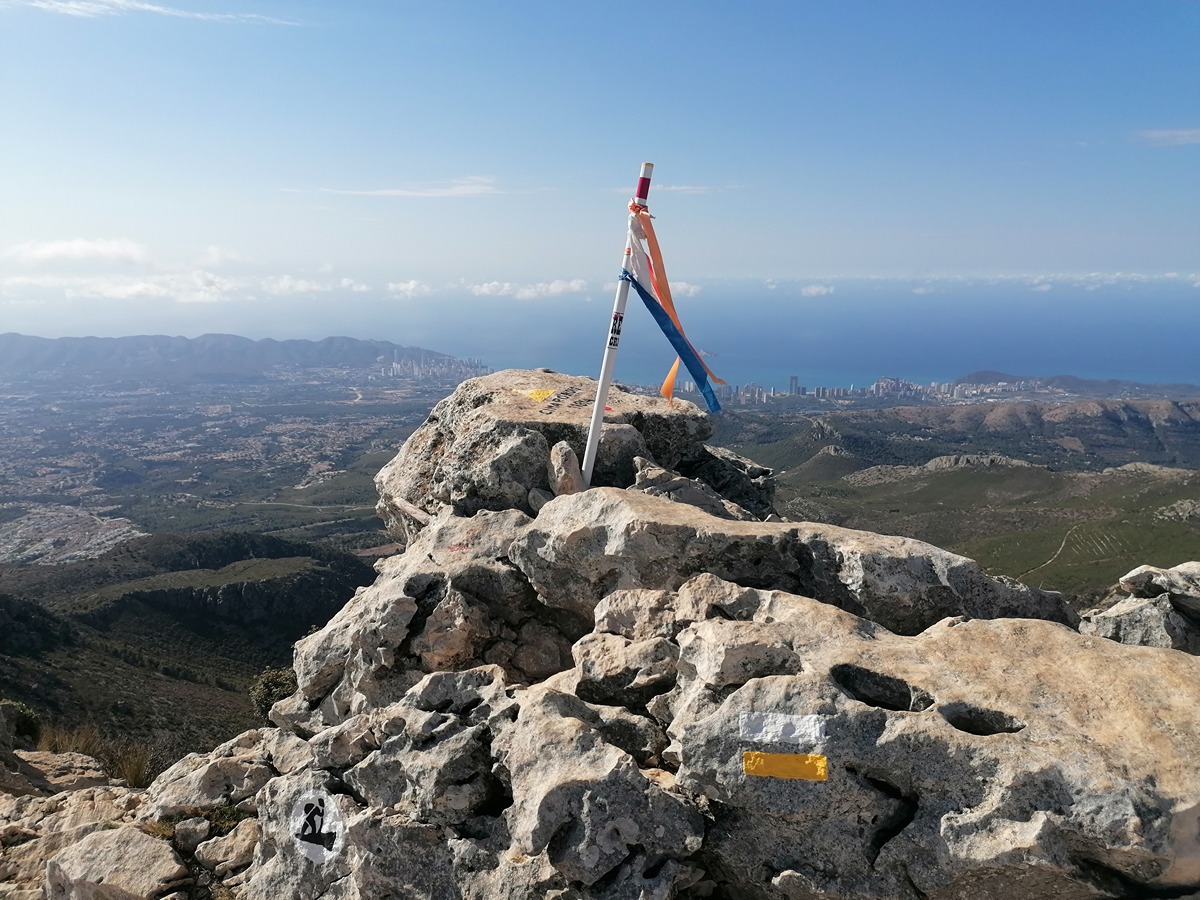
Other trails connecting with this trail