Rate this trail

PR-CV 289 VOLTA AL PUIG CAMPANA

Promoter: Ayuntamiento de Finestrat

Certification status: Conditioned quality control

1 review

Following the inspection carried out by trail technicians, this trail has been declared of "limited adequacy" as a result of the faults detected in the signage. These include inadequate horizontal signs (paint markers) and/or vertical ones (trailheads and information boards) or lacking direction markers that do not provide sufficient information to properly follow the route. The builder of this trail has been informed of the situation.
For safety reasons and during maintenance work, it is advised to be extremely careful while taking this route. Furthermore, mountain sports entail risks associated with the activity itself and the environment where they take place, for which any person is fully liable. For this reason, hikes need to be planned properly and adequate training, equipment and sensible use of the trails are required.

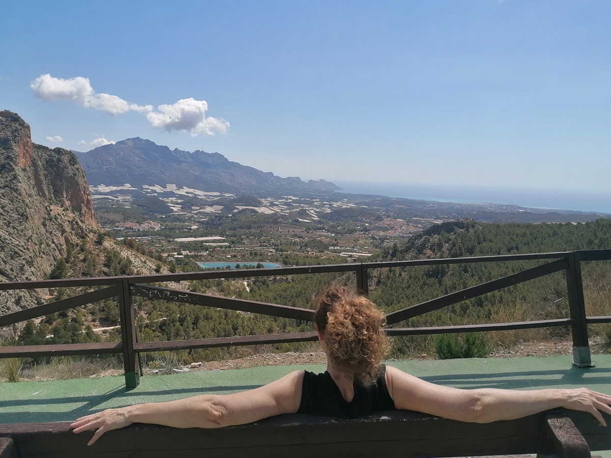
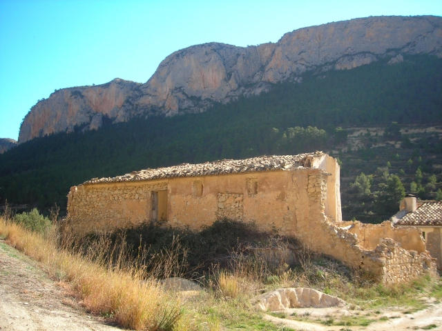
Circular and somewhat demanding route around the most iconic mountain on the east coast, Puig Campana, which starts at the Font del Molí in the village of Finestrat and takes you into the heart of the Protected Area of Puig Campana and Ponoig.

Trail:
Loop
Technical data:
Length:
11,20 km
Estimated walking time:
04:05:00
Elevation gain:
600 m
Elevation loss:
600 m
MIDE ratings:
Level of natural risks:
2
Navigation on the trail:
2
Hiking difficulty:
2
Fitness level needed:
3

More information on Montaña Segura

Difficulty rating according to FEDME:
Unknown
Useful information:
Date of certification:
15-11-2005
Date of the act of registration in the Public Register:
22-05-2007
Date of the last Quality Control:
may de 2022
Reference municipality:
District:
Province:
Alicante/Alacant
Cartography IGN MTN25:
0847-2; 0847-4; 0848-1

Downloadable from the Catalogue of the IGN Map Library

See other trails of this promoter:
Protected Natural Spaces:

We advise you to look up the regulations and/or authorisations for using the trails in these conservation areas on the website of the Conselleria de Medio Ambiente, Agua, Infraestructuras y Territorio

  • Aitana, Serrella y Puig Campana (SIC - Site of Community Interest)
  • Muntanyes de la Marina (SPAB - Special Protection Area for Birds)
  • Puig Campana y Ponotx (Protected Landscape)
Key points of the route:

Font del Molí (spring) - El Volaor - Coll del Pouet (col) - Font de La Solsida (spring) - Cova del Cremat (cave) - La Foia Cac (pit) - Font del Molí (spring)

Route description (only available in Spanish)

Partimos de la font del Molí de Finestrat. Comenzamos por el camí del Realet en ligero ascenso y llegamos a un cruce punto de inicio del tramo circular. Giramos a la izquierda, continuamos por el camí del Realet hasta cruzar un puente. Seguimos recto en ligero ascenso y en el siguiente cruce giramos a la izquierda por senda, continuamos por la misma, cruzamos el barranc de les Marietes y continuamos ya en ascenso por la senda denominada camí de Polop. Esta senda nos conduce en ascenso progresivo rodeando el Puig Campana por su vertiente Oeste hasta alcanzar el Volaor. Continuamos primero en ascenso y luego en llaneo con ligeras subidas hasta el refugio José Manuel Vera Catral. Giramos a la derecha y seguimos por pista en ascenso hasta llegar al coll del Pouet ya en la vertiente Norte. Desde el collado giramos a la derecha por pista en ascenso hasta un cruce con una senda a la izquierda en ascenso que la que seguiremos hasta llegar a la font de la Solsida. Desde aquí la senda comienza a descender progresivamente pasando a la vertiente Este hasta llegar a la cova del Cremat. Continuamos por senda en descenso más acusado y técnico hasta cruzar el barranc Fort. Seguimos por senda en descenso menos acusado y llaneando hasta la foia de Cac. Continuamos por la senda que vuelve a ser acusada en descenso con algunos tramos técnicos hasta alcanzar el camino de la urbanización ramal de l'Oix, giramos a la derecha por camino cruzando la urbanización hasta llegar al barranc dels Puertos. Giramos a la izquierda por pista, pasamos un puente y continuamos en descenso hasta el cruce donde hemos elegido el sentido de la ruta, seguimos recto para finalizar el recorrido en la font del Molí.

Downloads:

Beware! Navigation devices may fail, batteries may run out of power and devices may break down. Do not use only electronic means to track your activities in the mountains; they must be used as a complement to the map and compass. Get some proper training and enjoy the mountains.

Alternative routes and routes leading to nearby points of interest

Other trails connecting with this trail