
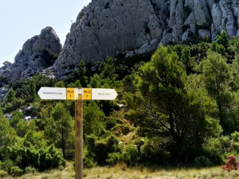
PR-CV 9 SELLA - BENIMANTELL
Promoter: Diputación de Alicante
Certification status: Positive quality control
0 reviews
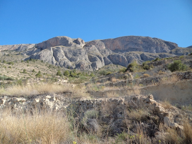
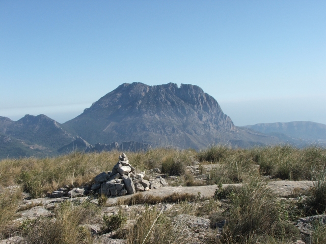
Magnificent trail that runs along part of the southern slope of Aitana, parallel to the Arc ravine, and ascends to the Comptador pass. From here, downhill to Benimantell.
Trail:
One way (point-to-point)
Other trails connecting with this trail
PR-CV 12 FINESTRAT - SELLA
Promoter: Diputación de Alicante
Certification status: Positive quality control
Reference municipality: Finestrat
Length: 17,30 km
Estimated walking time: 05:45:00
Elevation gain: 555 m
Elevation loss: 510 m
(0)
Reference municipality: Sella
Length: 6,30 km
Estimated walking time: 01:45:00
Elevation gain: 220 m
Elevation loss: 220 m
(0)
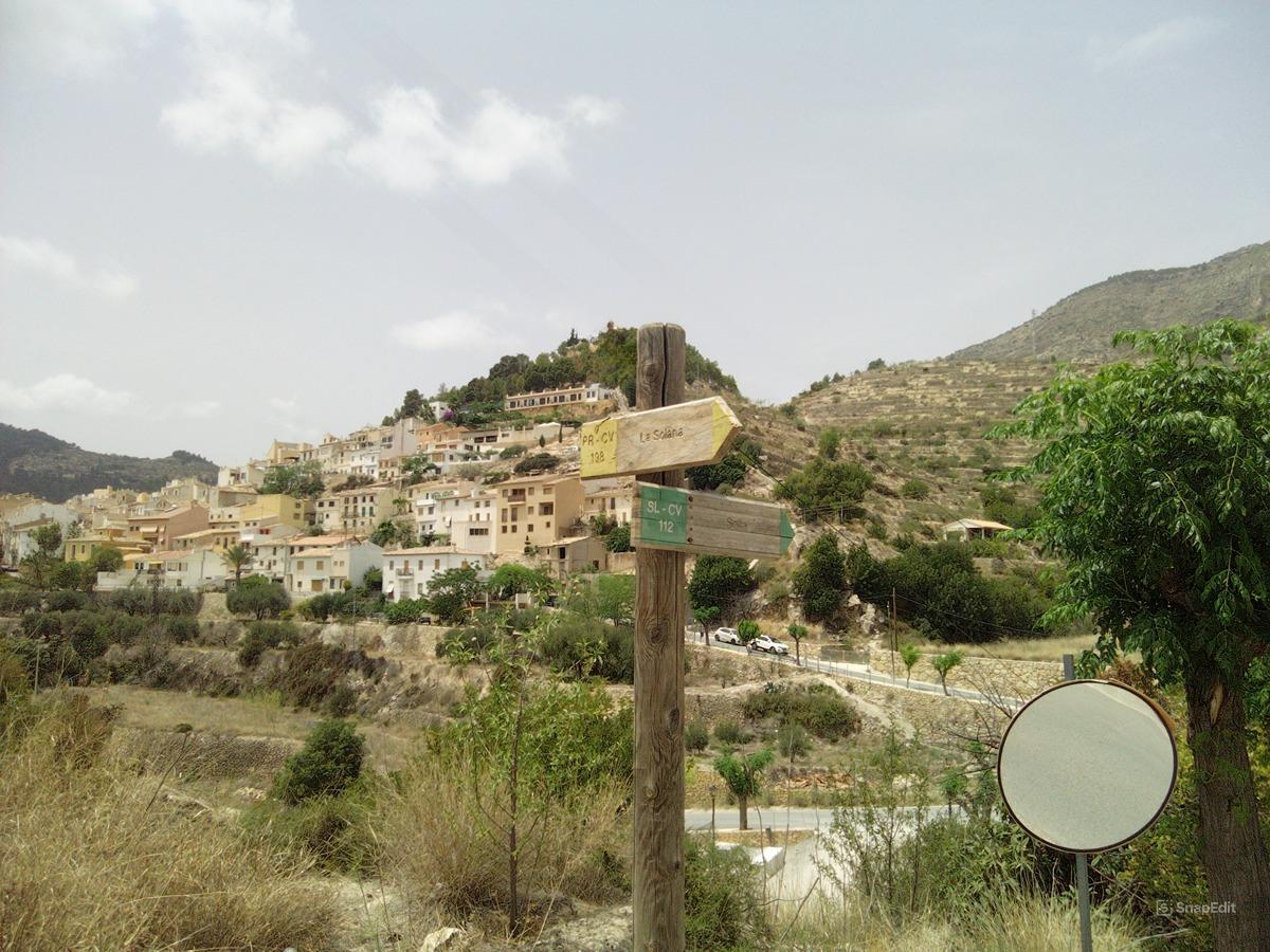
PR-CV 198 SELLA - ALT DE LA PENYA DE SELLA - SELLA
Promoter: Ayuntamiento de Sella
Certification status: No quality controls
Reference municipality: Sella
Length: 8,20 km
Estimated walking time: 04:15:00
Elevation gain: 785 m
Elevation loss: 785 m
(0)
PR-CV 199 SELLA - COLLADO TRAVESA - SELLA
Promoter: Ayuntamiento de Sella
Certification status: Negative quality control
Reference municipality: Sella
Length: 10,20 km
Estimated walking time: 04:20:00
Elevation gain: 730 m
Elevation loss: 730 m
(0)
Reference municipality: Benimantell
Length: 13,90 km
Estimated walking time: 04:50:00
Elevation gain: 640 m
Elevation loss: 640 m
(0)