Rate this trail

SL-CV 96 VUELTA AL MAGRAILE

Promoter: Ayuntamiento de Arañuel

Certification status: No quality controls

0 reviews

There is no proof of quality control on the record of this trail in the last years. For this reason, it is unknown whether it complies with the optimal signage and maintenance conditions for hikers to take the trail following these signs exclusively.
Hikers have to take into consideration that the information about the signage and maintenance of the trails for which the promoter entity is responsible might not be up to date anymore, since it refers to its state on the date of its approval. Furthermore, mountain sports entail risks associated with the activity itself and the environment where they take place, for which any person is fully liable. For this reason, hikes need to be planned properly and adequate training, equipment and sensible use of the trails are required.

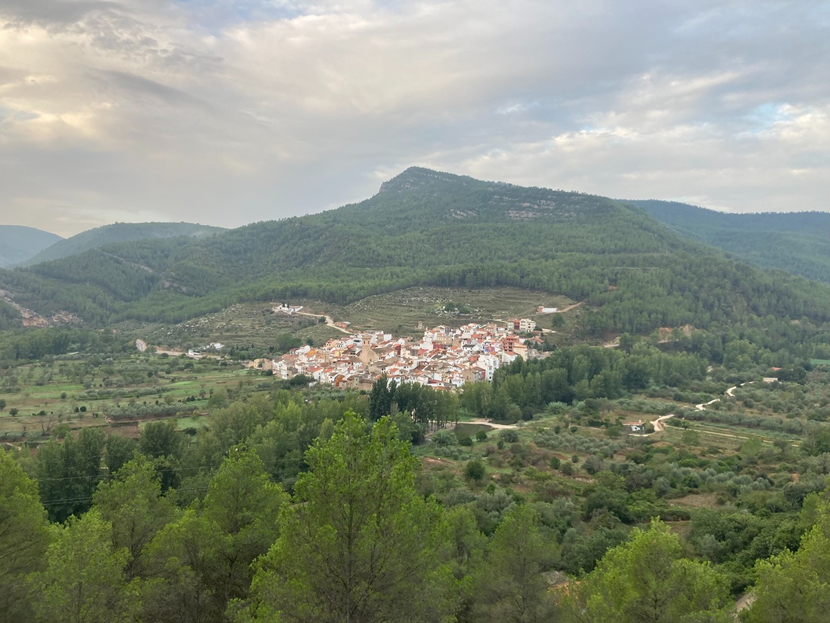
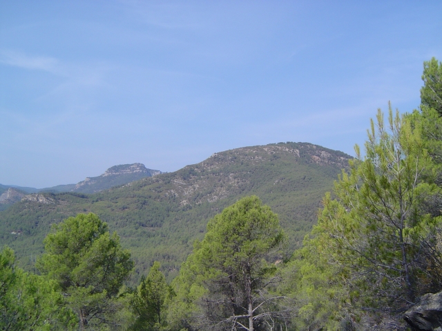
This route runs through the north/northwest part of the municipality of Arañuel, combining paths and tracks through an area of lush vegetation, with forests of extraordinary beauty, typical of the Alto Mijares region, bordering on the Magraile peak on its south/southwest side.

Trail:
Loop with some overlapping out and back sections
Technical data:
Length:
8,10 km
Estimated walking time:
02:40:00
Elevation gain:
450 m
Elevation loss:
450 m
MIDE ratings:
Level of natural risks:
2
Navigation on the trail:
2
Hiking difficulty:
2
Fitness level needed:
2

More information on Montaña Segura

Difficulty rating according to FEDME:
Unknown
Starting point:
Useful information:
Date of certification:
11-11-2007
Date of the act of registration in the Public Register:
20-10-2015
Reference municipality:
District:
Province:
Castellón/Castelló
Cartography IGN MTN25:
0615-1; 0615-3

Downloadable from the Catalogue of the IGN Map Library

See other trails of this promoter:
Key points of the route:

Fuente del Señor (spring) - Masía del Barranco Hondo (estate) - Masía del Magraile (estate) - Vereda de los Morrones (cattle track) - Los Catalanes

Route description (only available in Spanish)

 La ruta se inicia en un entradero de la CV-195 pk 25,8 donde muy cercana se encuentra la Fuente del Señor. Pasamos en ascenso una zona abancalada hasta llegar a la Masía del Barranco Hondo (o Barranco de Palos). Cruzamos la CV-195, llegando poco después a la Masía del Magraile con su cercana fuente y balsa. Se alterna senda y pista, por una pinada muy densa, caminando en dirección al Magraile, siempre en ascenso. Hasta llegar a un cruce de pistas; tomando la de dirección N a mano izquierda por la Vereda de Los Morrones, dejando el Magraile a la derecha. Se camina por varios tramos empedrados, se pasa por las ruinas de un horno de cal, llegando al punto más alto del sendero, tras unos zigs-zags de la vereda, cercano al Morrón del Magraile.  A partir de aquí, el descenso es continuo, dejando la vereda y continuando en dirección oeste, pasando algunos corrales para el ganado hasta que se intercepta la CV-195 por la partida de Los Catalanes y ya por la senda llegaremos hasta el punto inicial del recorrido.

Downloads:

Beware! Navigation devices may fail, batteries may run out of power and devices may break down. Do not use only electronic means to track your activities in the mountains; they must be used as a complement to the map and compass. Get some proper training and enjoy the mountains.

Other trails connecting with this trail