Rate this trail

SL-CV 95 BALCÓN DE MIJARES

Promoter: Ayuntamiento de Arañuel

Certification status: Conditioned quality control

0 reviews

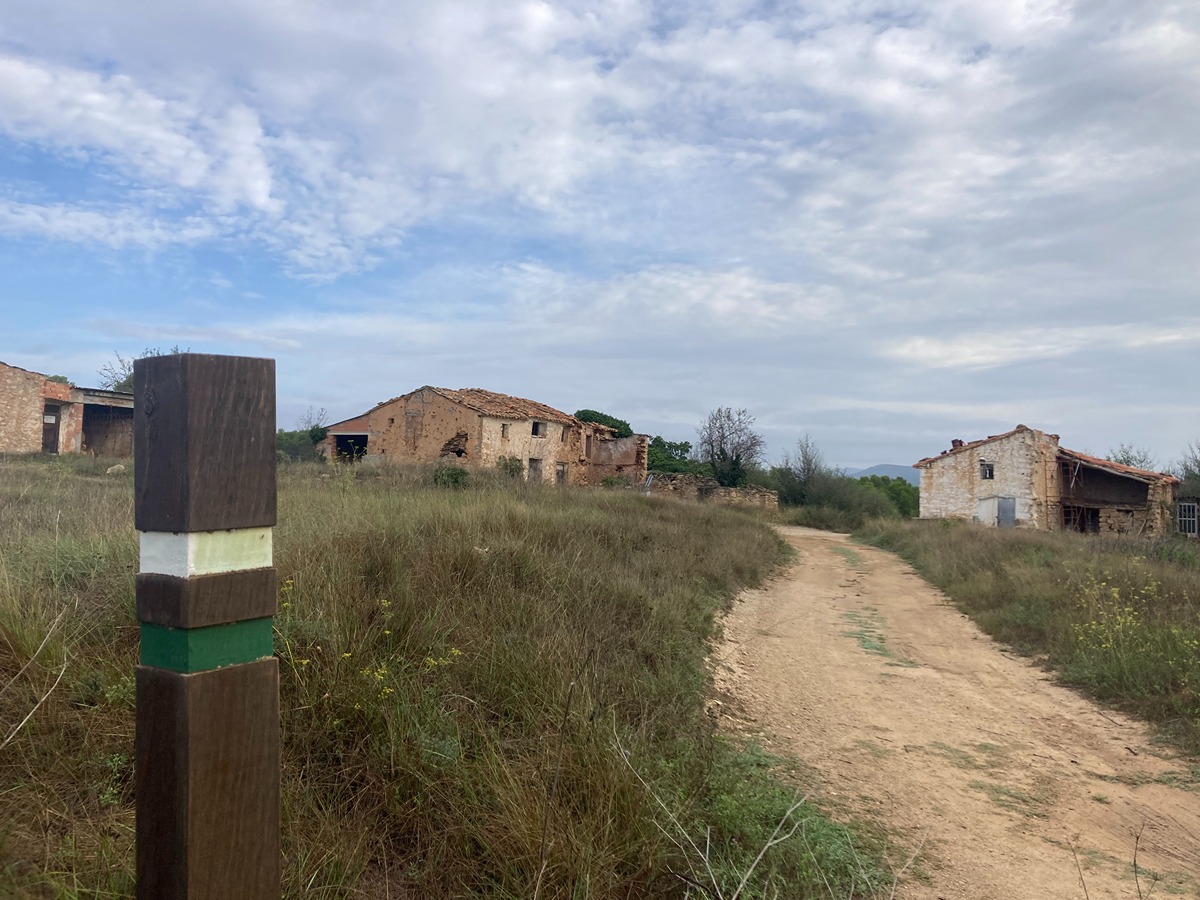
Following the inspection carried out by trail technicians, this trail has been declared of "limited adequacy" as a result of the faults detected in the signage. These include inadequate horizontal signs (paint markers) and/or vertical ones (trailheads and information boards) or lacking direction markers that do not provide sufficient information to properly follow the route. The builder of this trail has been informed of the situation.
For safety reasons and during maintenance work, it is advised to be extremely careful while taking this route. Furthermore, mountain sports entail risks associated with the activity itself and the environment where they take place, for which any person is fully liable. For this reason, hikes need to be planned properly and adequate training, equipment and sensible use of the trails are required.

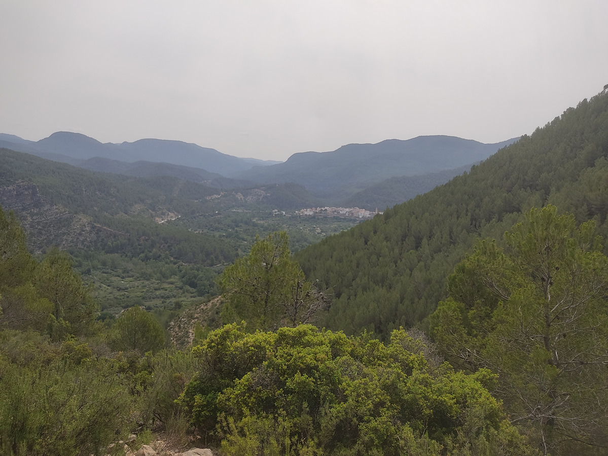
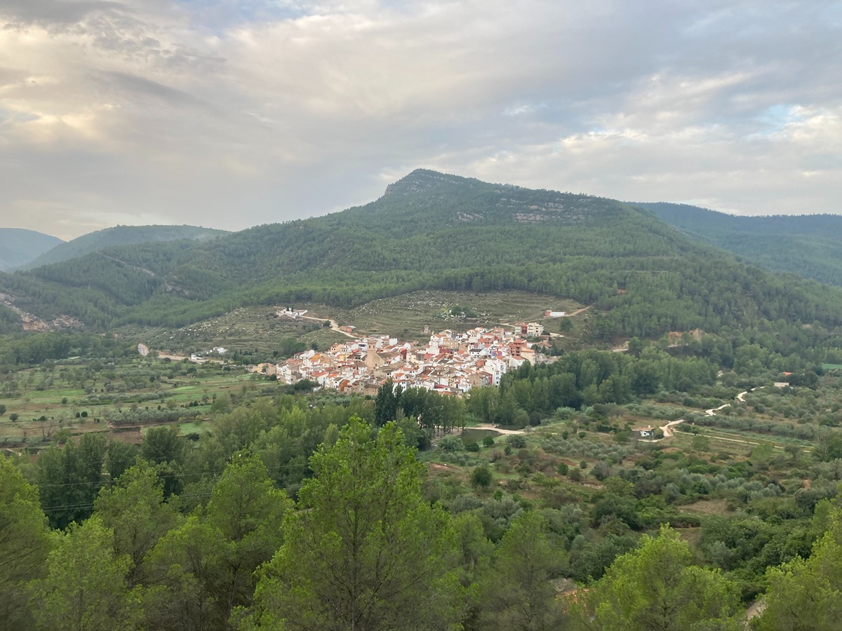
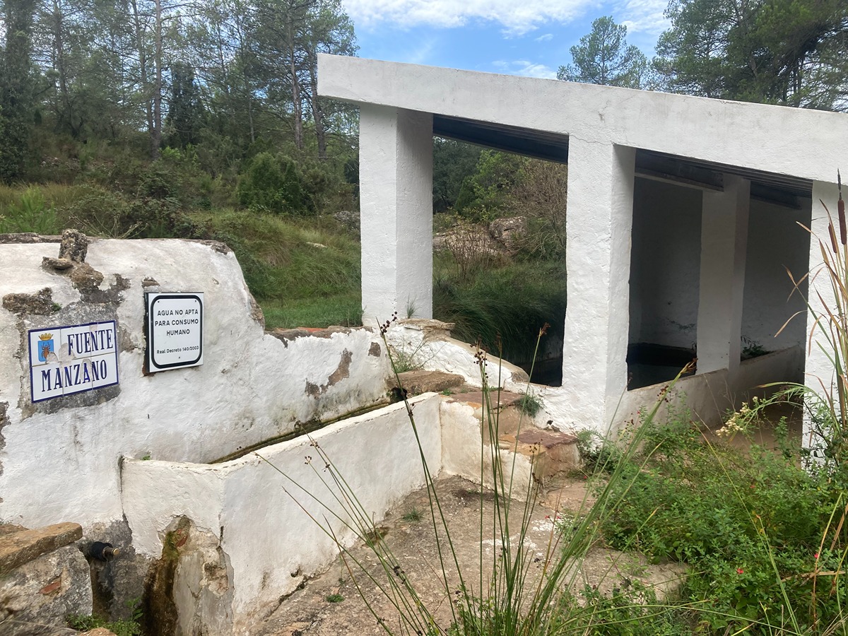
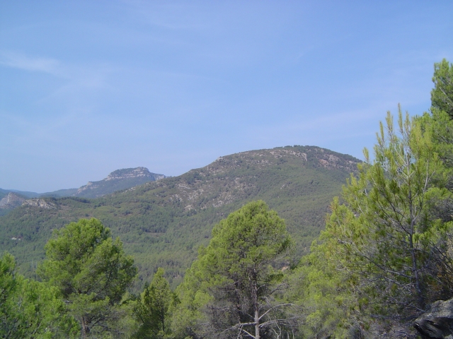
This route runs through the northern part of the municipality of Arañuel, alternating between tracks and paths and leading to two groups of country estates that show the importance they once had. The imposing forests contrast with the final part, where old crops predominate.

Trail:
One way (point-to-point)
Technical data:
Length:
4,80 km
Estimated walking time:
01:50:00
Elevation gain:
475 m
Elevation loss:
50 m
MIDE ratings:
Level of natural risks:
1
Navigation on the trail:
2
Hiking difficulty:
2
Fitness level needed:
2

More information on Montaña Segura

Difficulty rating according to FEDME:
Unknown
Starting point:
Useful information:
Date of certification:
10-11-2007
Date of the act of registration in the Public Register:
20-10-2015
Date of the last Quality Control:
may de 2023
Reference municipality:
District:
Province:
Castellón/Castelló
Cartography IGN MTN25:
0615-1; 0615-3

Downloadable from the Catalogue of the IGN Map Library

See other trails of this promoter:
Protected Natural Spaces:

We advise you to look up the regulations and/or authorisations for using the trails in these conservation areas on the website of the Conselleria de Medio Ambiente, Agua, Infraestructuras y Territorio

  • Curso Alto del río Mijares (SIC - Site of Community Interest)
  • Sierra de Espadán (SPAB - Special Protection Area for Birds)
Key points of the route:

Arañuel - SL-CV 96 connection - Masía del Plano de Arriba (estate) - Masía del Plano de Abajo (estate) - Fuente del Manzano (spring)

Route description (only available in Spanish)

Desde la Fuente de la Pechina cruzamos el puente sobre el río Mijares para seguir recto por camino cementado para, en el siguiente cruce de caminos, abandonar el SL-CV 96 que sigue hacia la izquierda. Seguimos recto para, a pocos metros, tomar el camino hacia la derecha hasta llegar a una curva muy cerrada a la derecha por donde sale un sendero a nuestra izquierda. Seguimos por este, que va ganando progresivamente altura, hasta llegar a una pista para continuar a nuestra derecha y volver a tomar un sendero a nuestra izquierda en sentido ascendente hasta volver a cruzar otra pista y seguir recto por senda, llegando a un campo de cultivos de secano. Abandonamos la masa boscosa, cruzamos el campo para llegar a las masías del Plano de Arriba. Cruzamos el conjunto y seguiremos por senda llaneando hasta volver a salir a una pista y a la masía del Plano de Abajo, cruzaremos la pista y por senda llegaremos a la fuente del Manzano.

Downloads:

Beware! Navigation devices may fail, batteries may run out of power and devices may break down. Do not use only electronic means to track your activities in the mountains; they must be used as a complement to the map and compass. Get some proper training and enjoy the mountains.

Other trails connecting with this trail