
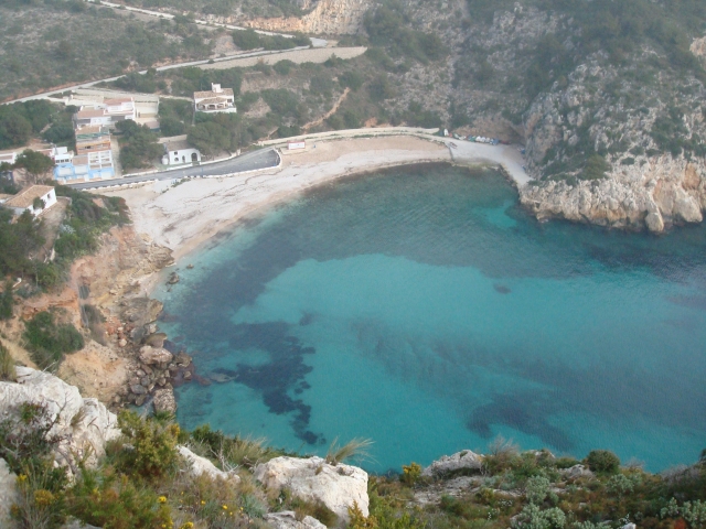
SL-CV 97 CALA BARRACA
Promoter: Ayuntamiento de Jávea
Certification status: Positive quality control
0 reviews
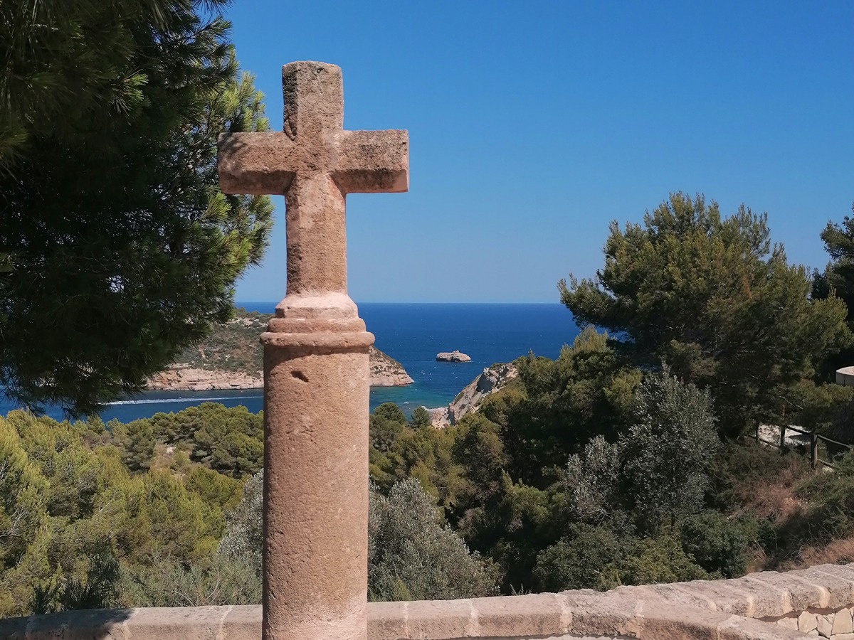
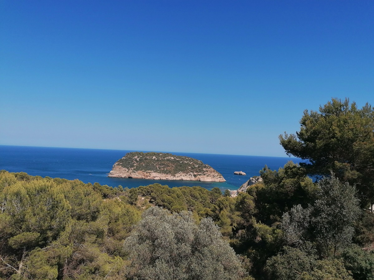
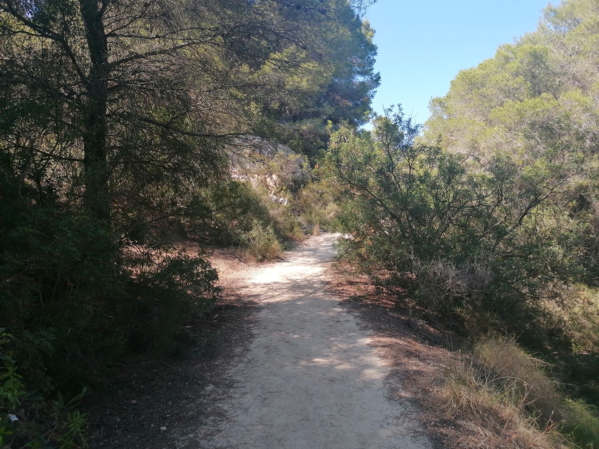
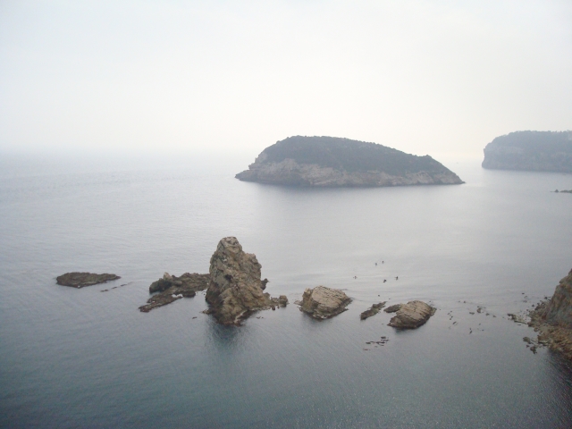
A path that runs through pine and carob trees, with views of the impressive and vertiginous cliffs of the north of Alicante in front of the island of Portitxol. This path ends at the Barraca cove, with its particular white and blue fishermen's houses.
Trail:
One way (point-to-point)
Other trails connecting with this trail
Reference municipality: Xàbia/Jávea
Length: 1,00 km
Estimated walking time: 00:20:00
Elevation gain: 20 m
Elevation loss: 60 m
(0)
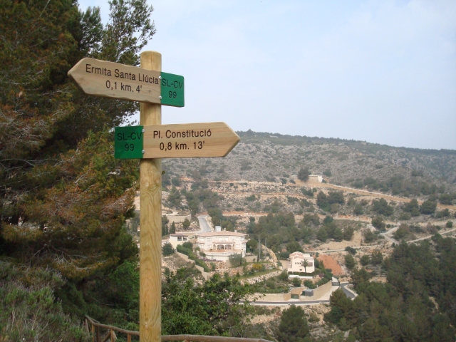
SL-CV 99 ERMITA DE SANTA LLÚCIA
Promoter: Ayuntamiento de Jávea
Certification status: No quality controls
Reference municipality: Xàbia/Jávea
Length: 2,00 km
Estimated walking time: 00:30:00
Elevation gain: 110 m
Elevation loss: 110 m
(0)
Reference municipality: Xàbia/Jávea
Length: 13,30 km
Estimated walking time: 04:15:00
Elevation gain: 430 m
Elevation loss: 430 m
(1)
PR-CV 355 PORT DE XÀBIA - MONTGÓ
Promoter: Ayuntamiento de Jávea
Certification status: No quality controls
Reference municipality: Xàbia/Jávea
Length: 14,70 km
Estimated walking time: 05:15:00
Elevation gain: 1.070 m
Elevation loss: 325 m
(1)