Rate this trail

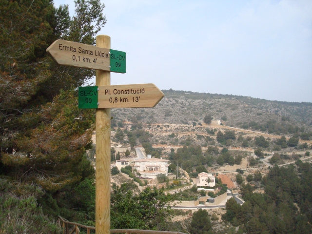
SL-CV 99 ERMITA DE SANTA LLÚCIA

Promoter: Ayuntamiento de Jávea

Certification status: No quality controls

0 reviews

There is no proof of quality control on the record of this trail in the last years. For this reason, it is unknown whether it complies with the optimal signage and maintenance conditions for hikers to take the trail following these signs exclusively.
Hikers have to take into consideration that the information about the signage and maintenance of the trails for which the promoter entity is responsible might not be up to date anymore, since it refers to its state on the date of its approval. Furthermore, mountain sports entail risks associated with the activity itself and the environment where they take place, for which any person is fully liable. For this reason, hikes need to be planned properly and adequate training, equipment and sensible use of the trails are required.

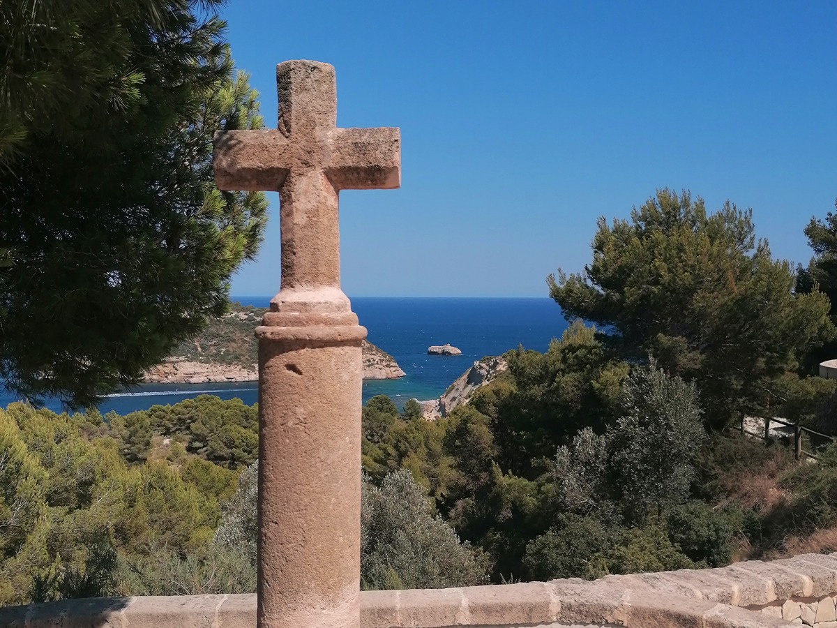
The point of interest is the chapel of Santa Llucia itself, as a vantage point from which to see the Cape of San Antonio. A little further north you can see the windmills of La Plana and to the southeast the town, the valley and the bay of Xàbia with Cap Prim in the background.

Trail:
Loop with some overlapping out and back sections
Technical data:
Length:
2,00 km
Estimated walking time:
00:30:00
Elevation gain:
110 m
Elevation loss:
110 m
MIDE ratings:
Level of natural risks:
1
Navigation on the trail:
2
Hiking difficulty:
2
Fitness level needed:
1

More information on Montaña Segura

Difficulty rating according to FEDME:
Unknown
Starting point:
Interest Tags:
Trail with environmental interes
Useful information:
Date of certification:
04-03-2008
Date of the act of registration in the Public Register:
20-10-2015
Reference municipality:
District:
Province:
Alicante/Alacant
Cartography IGN MTN25:
0823-1

Downloadable from the Catalogue of the IGN Map Library

See other trails of this promoter:
Protected Natural Spaces:

We advise you to look up the regulations and/or authorisations for using the trails in these conservation areas on the website of the Conselleria de Medio Ambiente, Agua, Infraestructuras y Territorio

  • Montgó (Natural Park)
Key points of the route:

Plaza de la Constitución (square) - Camino Santa Lucia (path) - Ermita de Santa Lucia (chapel) - Climbing Area Santa Lucia

Route description (only available in Spanish)

Saliendo de la Plaza de la Plaza de la Constitución (delante del Centro de Salud) subiremos en dirección al Instituto de Bachillerato por la calle Rafael Echagüe.
Cruzaremos la avenida Ángel Doménech y tomaremos el camino de Santa Lucía que empieza donde se encuentra una cruz hecha de tosca. La senda se adentra en un pequeño bosque de pinos. Al salir de él, ya llegando casi a la ermita y en una curva pronunciada a la izquierda, cogeremos a la derecha un tramo de hormigón con una valla que nos llevará hasta la ermita de Santa Lucía.
Desde este punto podremos disfrutar de unas magníficas vistas de gran parte de Xàbia, así como del Puig de la Llorença, Bèrnia y el Montgó.
Una vez aquí nos queda el descenso, que lo haremos por un sitio diferente.
Partiendo de la ermita, cogeremos otra vez la senda de hormigón.
A los pocos metros y girando a la izquierda la senda baja en zig-zag y con una pronunciada pendiente. Tendremos a nuestra derecha mientras descendemos las paredes de Santa Lucía, que son una de las zonas de escalada de Xàbia.
Al poco enlazamos con el camino de subida por lo que retornamos al punto de partida.

Downloads:

Beware! Navigation devices may fail, batteries may run out of power and devices may break down. Do not use only electronic means to track your activities in the mountains; they must be used as a complement to the map and compass. Get some proper training and enjoy the mountains.

Other trails connecting with this trail