
GR 7 E51 ELDA - PINOSO (LÍMITE MURCIA)
Promoter: Generalitat Valenciana
Certification status: Positive quality control
0 reviews
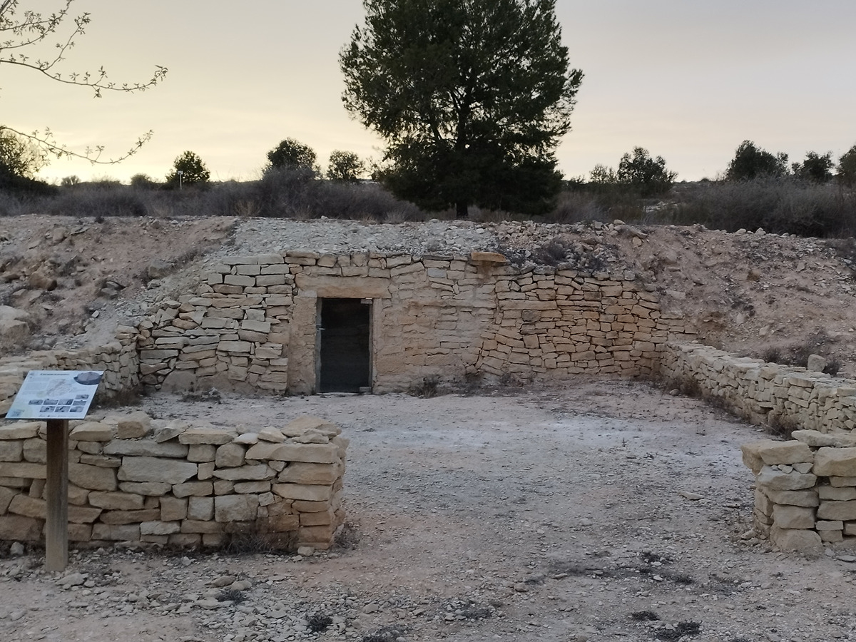
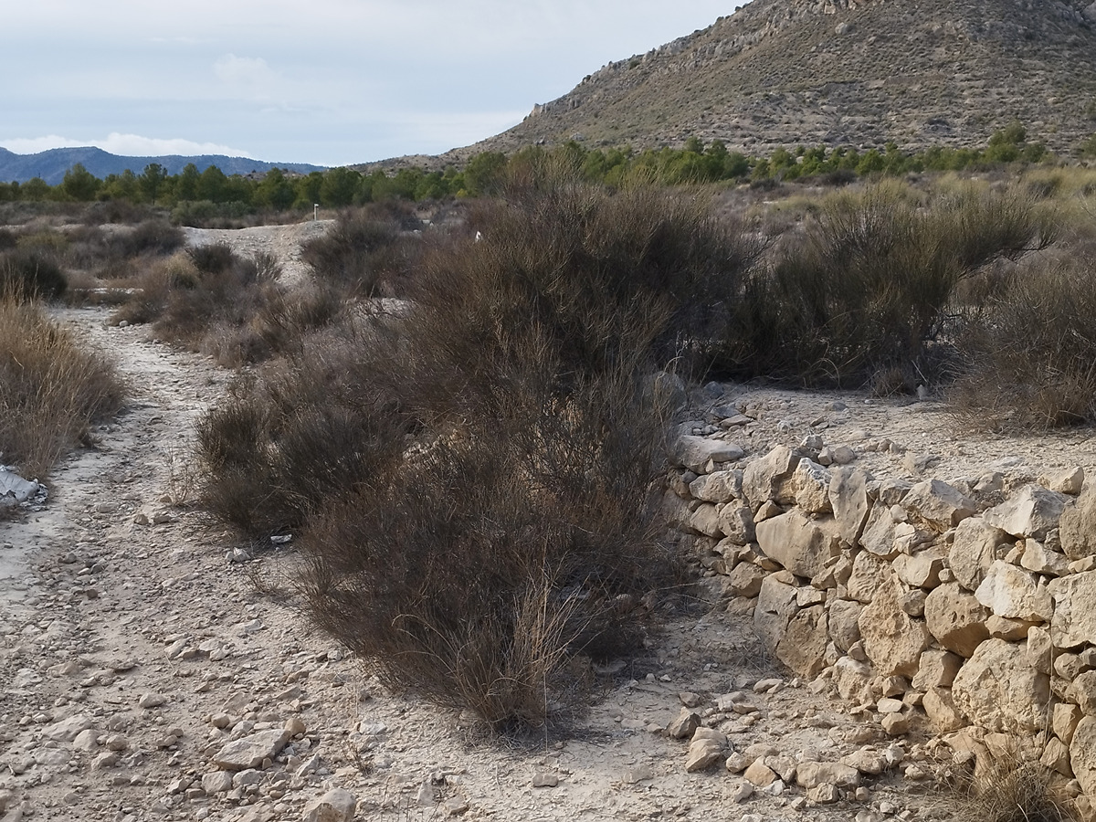
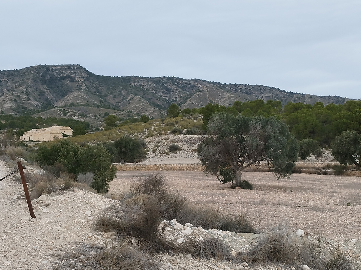
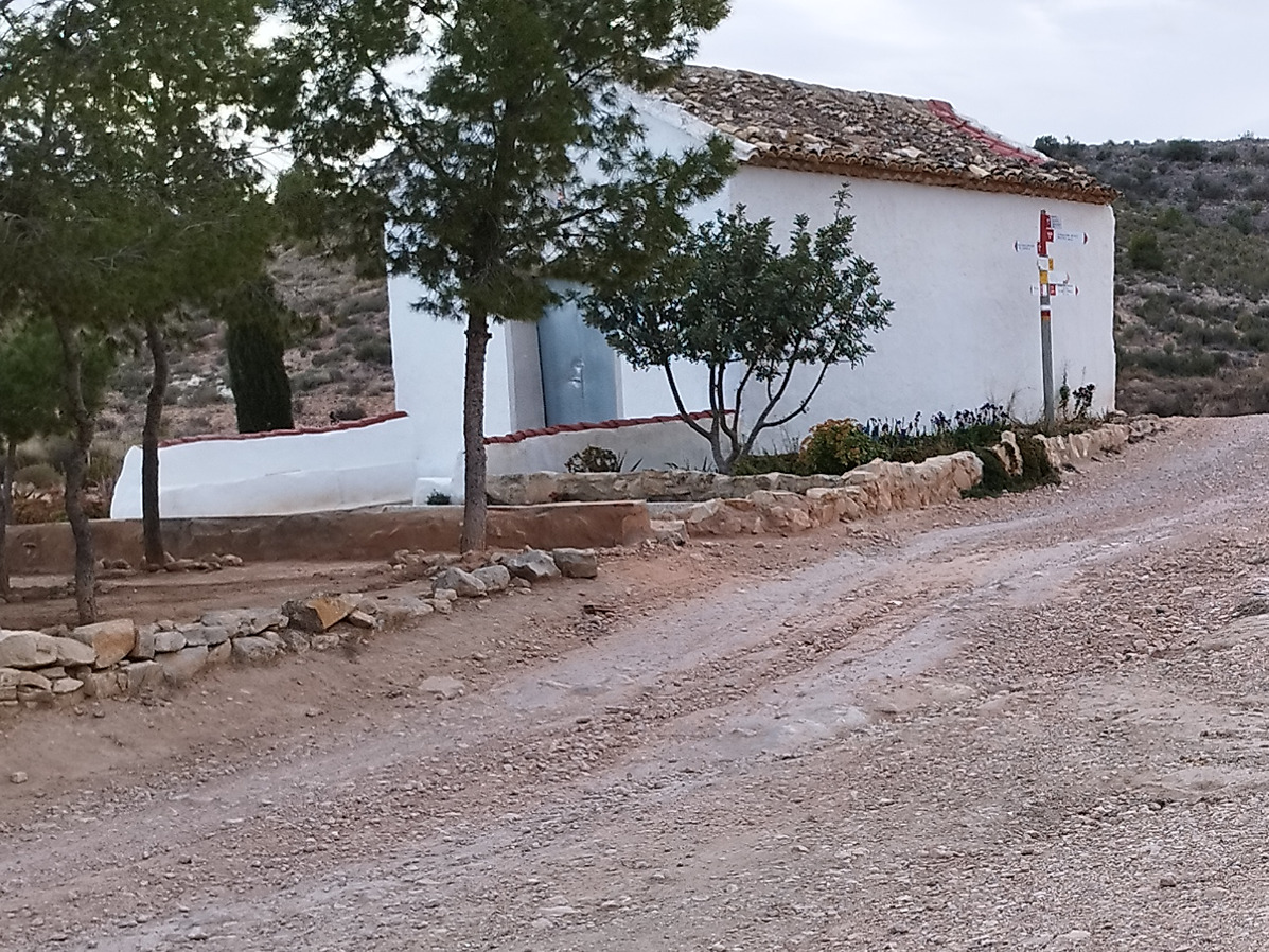
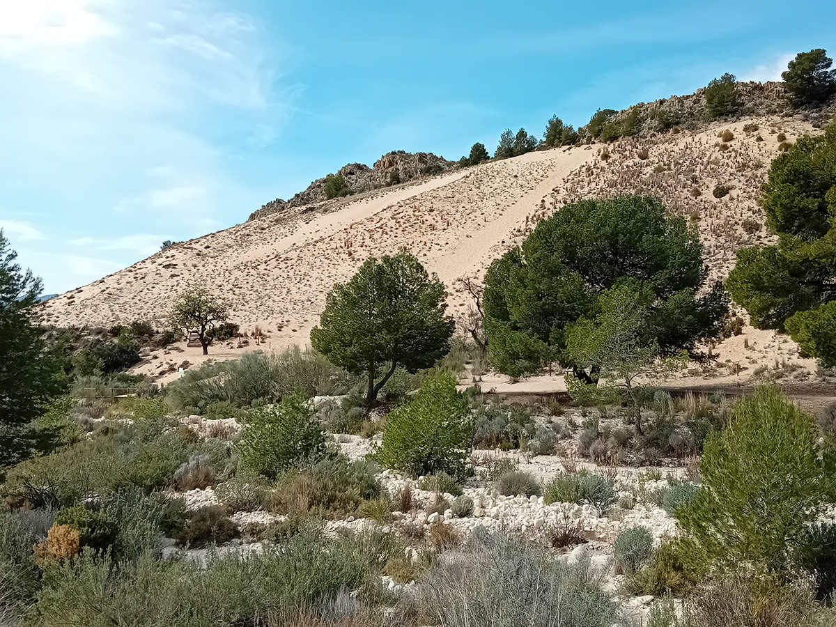
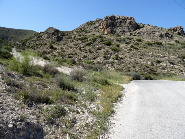
This last stage of the GR7 trail within Comunitat Valenciana takes you almost all the way through farmland, crossing enclaves such as the pine forest of Trinitario, Las Cañadas, the ermita de Los Dolores chapel, la Pedrera rocky area, canyadeta de Monover’s cattle track, Chinorla, las casas del Señor district, Las Encebras and Pinoso.
Trail:
One way (point-to-point)
Main

GR 7 COMUNITAT VALENCIANA. FREDES - EL PINÓS/PINOSO
Promoter: Generalitat Valenciana
Certification status: See stages
Reference municipality: Pobla de Benifassà (La)
Length: 586,60 km
Estimated walking time: 180:35:00
Elevation gain: 17.635 m
Elevation loss: 18.585 m
(0)
Previos stage
GR 7 E50 CASTALLA - ELDA
Promoter: Generalitat Valenciana
Certification status: Positive quality control
Etapa número: 50
Reference municipality: Castalla
Length: 24,00 km
Estimated walking time: 07:10:00
Elevation gain: 445 m
Elevation loss: 715 m
(0)
Other trails connecting with this trail
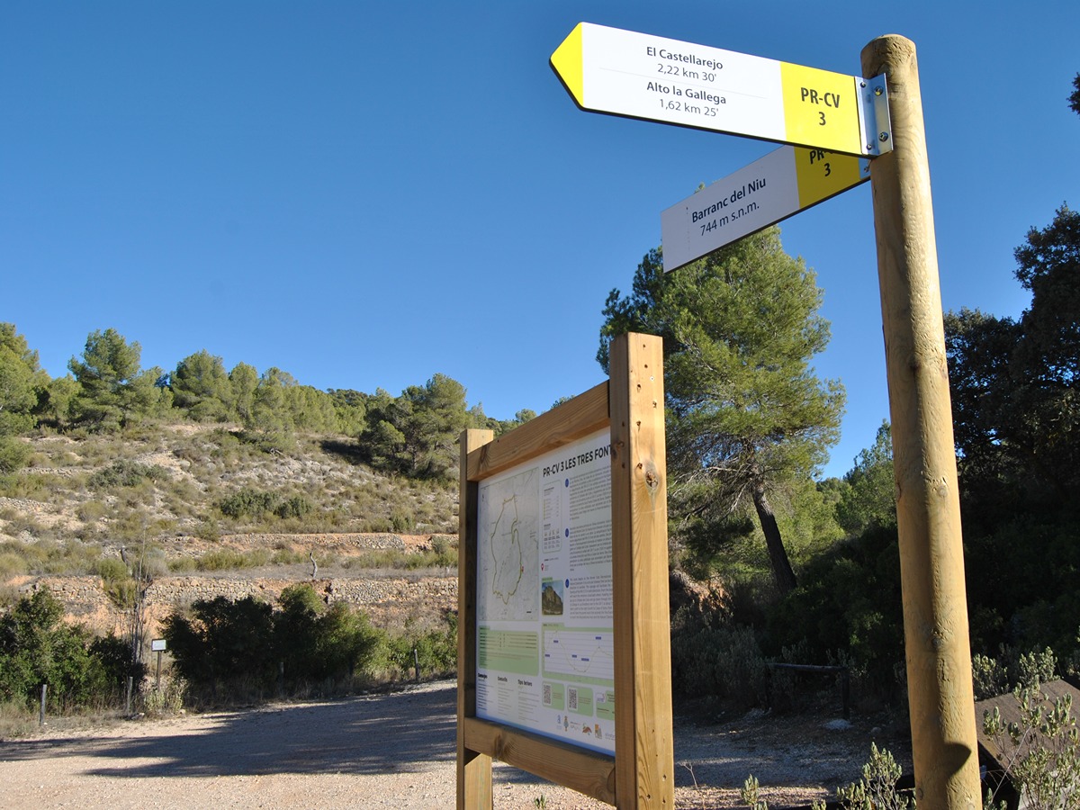
PR-CV 3 TRES FONTS - ENZEBRES - TRES FONTS
Promoter: Ayuntamiento de Pinoso
Certification status: Positive quality control
Reference municipality: Pinós (El)/Pinoso
Length: 8,90 km
Estimated walking time: 02:50:00
Elevation gain: 285 m
Elevation loss: 285 m
(0)
PR-CV 166 L'ALMORQUÍ - LA CAVAFRÍA - LES TRES FONTS
Promoter: Ayuntamiento de Monóvar
Certification status: Positive quality control
Reference municipality: Monòver/Monóvar
Length: 12,90 km
Estimated walking time: 04:25:00
Elevation gain: 660 m
Elevation loss: 465 m
(1)
Reference municipality: Elda
Length: 11,80 km
Estimated walking time: 03:25:00
Elevation gain: 230 m
Elevation loss: 230 m
(0)
PR-CV 196 VUELTA A BOLÓN
Promoter: Ayuntamiento de Elda
Certification status: Positive quality control
Reference municipality: Elda
Length: 7,20 km
Estimated walking time: 02:20:00
Elevation gain: 245 m
Elevation loss: 245 m
(0)

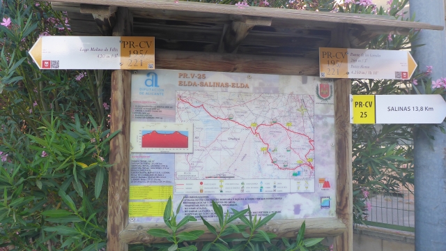
PR-CV 221 VUELTA A CAMARA
Promoter: Ayuntamiento de Elda
Certification status: Conditioned quality control
Reference municipality: Elda
Length: 14,30 km
Estimated walking time: 04:35:00
Elevation gain: 490 m
Elevation loss: 490 m
(0)