PR-CV 166 L'ALMORQUÍ - LA CAVAFRÍA - LES TRES FONTS
Promoter: Ayuntamiento de Monóvar
Certification status: Positive quality control
1 review
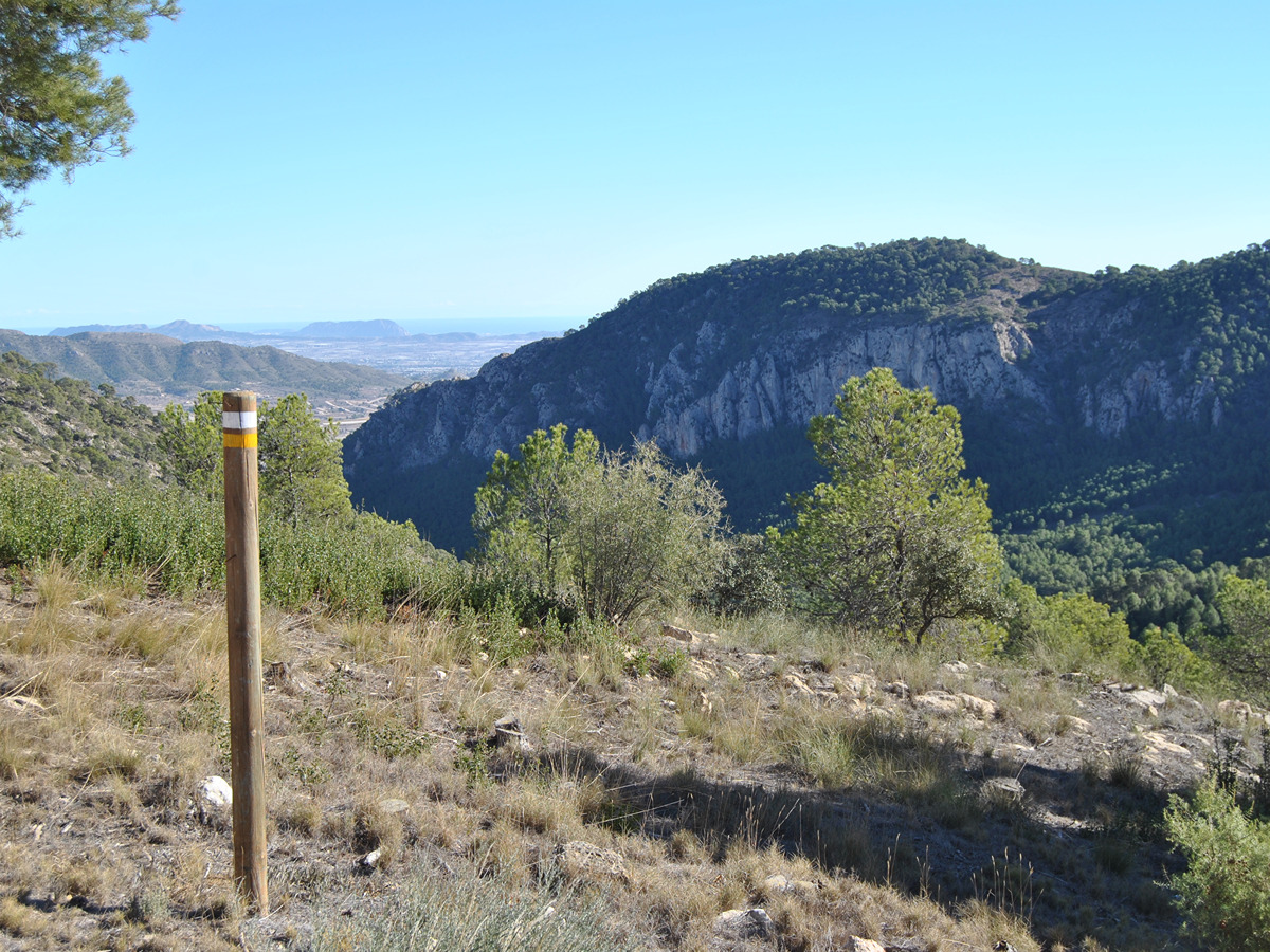
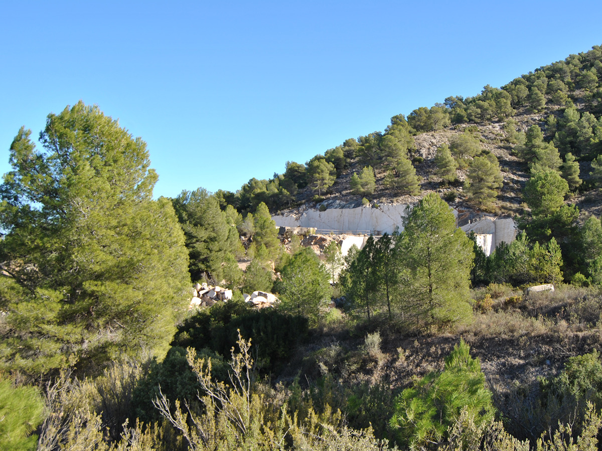
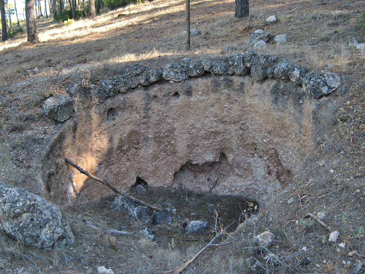
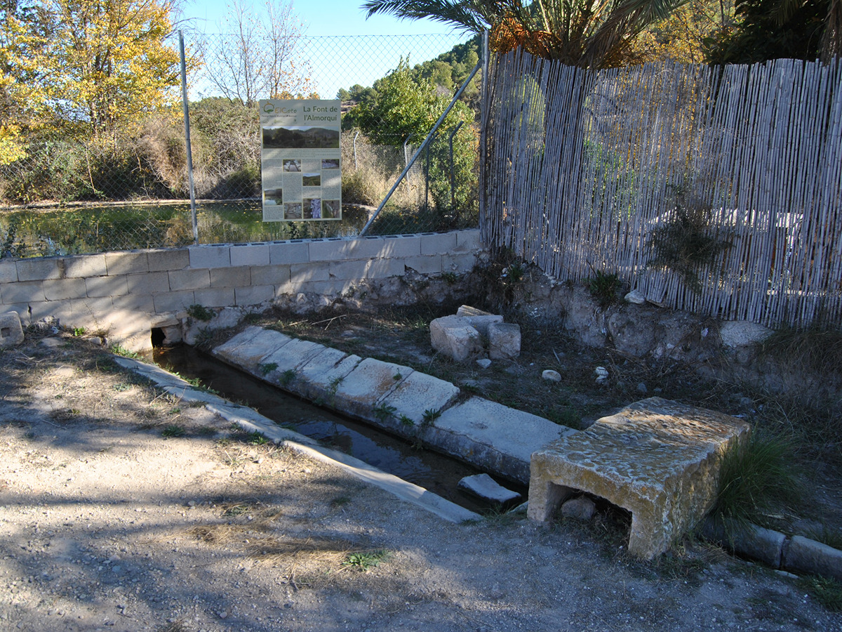
An excellent itinerary that runs through the Monte Coto Local Natural Park, passing through Cavafría, the Reclot mountain range and ending at the Monte Coto recreational area. It is worth highlighting its magnificent landscape and the remains of the old marble quarries.
Trail:
One way (point-to-point)
Other trails connecting with this trail
PR-CV 3 TRES FONTS - ENZEBRES - TRES FONTS
Promoter: Ayuntamiento de Pinoso
Certification status: Positive quality control
Reference municipality: Pinós (El)/Pinoso
Length: 8,90 km
Estimated walking time: 02:50:00
Elevation gain: 285 m
Elevation loss: 285 m
(0)
GR 7 E51 ELDA - PINOSO (LÍMITE MURCIA)
Promoter: Generalitat Valenciana
Certification status: Positive quality control
Etapa número: 51
Reference municipality: Elda
Length: 34,10 km
Estimated walking time: 07:40:00
Elevation gain: 510 m
Elevation loss: 260 m
(0)
GR 7 COMUNITAT VALENCIANA. FREDES - EL PINÓS/PINOSO
Promoter: Generalitat Valenciana
Certification status: See stages
Reference municipality: Pobla de Benifassà (La)
Length: 586,60 km
Estimated walking time: 180:35:00
Elevation gain: 17.635 m
Elevation loss: 18.585 m
(0)
PR-CV 107 RUTA DEL XIRIVELL
Promoter: Asociación de Vecinos Xinorlet
Certification status: Negative quality control
Reference municipality: Monòver/Monóvar
Length: 7,10 km
Estimated walking time: 02:05:00
Elevation gain: 165 m
Elevation loss: 165 m
(0)
GR 330 SENDERO COSTA BLANCA INTERIOR
Promoter: Diputación de Alicante
Certification status: In process of approval
Reference municipality: Dénia
(0)


