Rate this trail

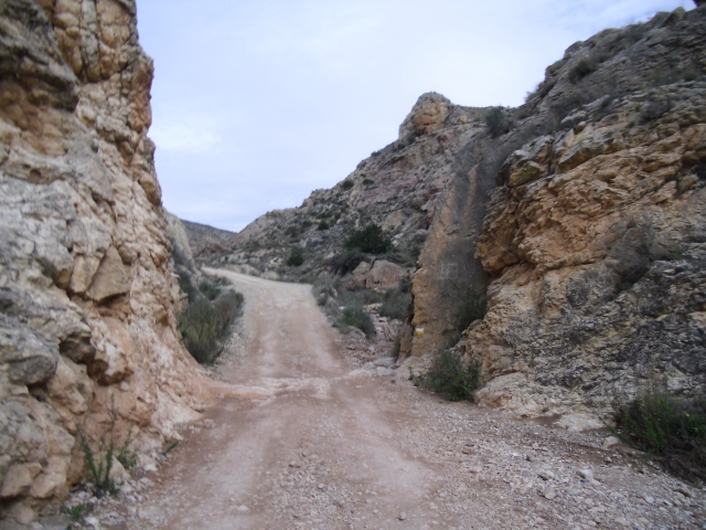
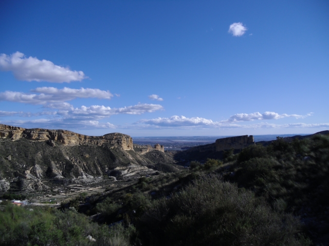
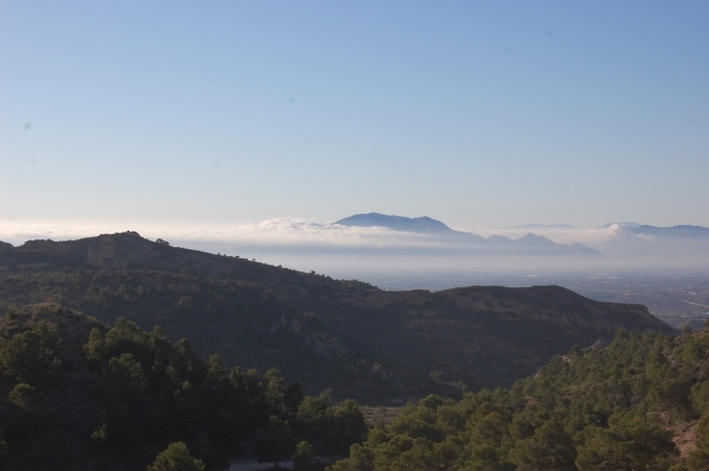
PR-CV 108 SIERRA DE CREVILLENT

Promoter: Centre Excursionista de Crevillent

Certification status: Positive quality control

0 reviews

A demanding route, which allows you to explore much of the Crevillente mountain range, offering you landscapes of great beauty.

Trail:
Loop
Technical data:
Length:
18,50 km
Estimated walking time:
06:20:00
Elevation gain:
810 m
Elevation loss:
810 m
MIDE ratings:
Level of natural risks:
2
Navigation on the trail:
2
Hiking difficulty:
2
Fitness level needed:
4

More information on Montaña Segura

Difficulty rating according to FEDME:
Unknown
Starting point:
Useful information:
Date of certification:
15-10-1999
Date of the act of registration in the Public Register:
22-05-2007
Date of the last Quality Control:
june de 2022
Reference municipality:
Otros municipios por los que transcurre:
District:
Province:
Alicante/Alacant
Cartography IGN MTN25:
0893-1; 0892-2

Downloadable from the Catalogue of the IGN Map Library

See other trails of this promoter:
Protected Natural Spaces:

We advise you to look up the regulations and/or authorisations for using the trails in these conservation areas on the website of the Conselleria de Medio Ambiente, Agua, Infraestructuras y Territorio

  • Cim de Crevillent (Flora Micro-reserve)
  • Coll de Sant Juri (Flora Micro-reserve)
  • Serra de Crevillent (SIC - Site of Community Interest)
  • Serres del Sud d'Alacant (SPAB - Special Protection Area for Birds)
Weather information:
Key points of the route:

Els Pontes - Les Pedreres path - Barranc de la Garganta (ravine) - Castell vell (fort) - Barranc Fort (ravine) - Collado Vereda Hondón (col) - Detour to the summit of La Vella and Camino del Catí (path) - Collado de Sant Juri (col) - Barranc del Marxant (ravine) - Pouet de la Mel intersection (well) - Els Pontes

Route description (only available in Spanish)

El sendero comienza en els Pontets. Pasamos por debajo de uno de sus arcos y seguimos por el camí de les Pedreres entre casas de campo y bancales hasta la zona conocida como Castell Vell donde continuaremos a la izquierda. Un poco más adelante se acaba el asfalto y continuamos por una pista de tierra hasta llegar a unas ruinas que se encuentran a la izquierda de la pista. En este punto abandonamos la pista para tomar una senda que nos conducirá hasta el interior del barranc Fort y el cruce con el PR-CV 109. Continuaremos por el camí de Catí hasta el último cruce con el PR-CV 279 donde se separan los senderos. Seguimos y veremos el cruce con el PR-CV 110 a nuestra derecha. Nosotros continuamos en descenso por la costera de Catí hasta alcanzar y cruzar el barranco de Marxant. Volveremos a enlazar con el PR-CV 109 hasta llegar de nuevo al punto de inicio de la ruta en els Pontets.

Downloads:

Beware! Navigation devices may fail, batteries may run out of power and devices may break down. Do not use only electronic means to track your activities in the mountains; they must be used as a complement to the map and compass. Get some proper training and enjoy the mountains.

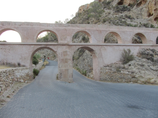
Other trails connecting with this trail
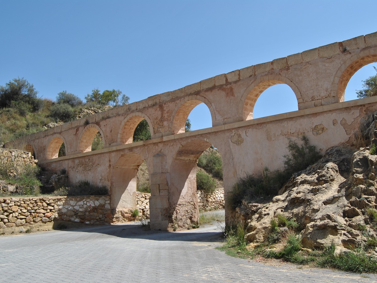