
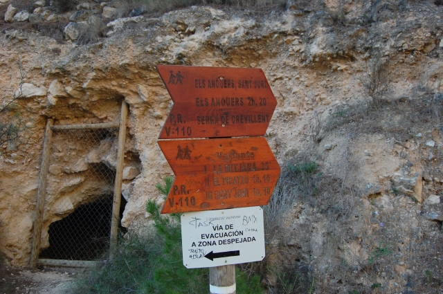
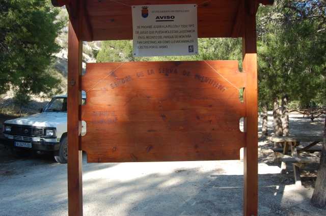
PR-CV 110 ELS ANOUERS
Promoter: Centre Excursionista de Crevillent
Certification status: Positive quality control
0 reviews
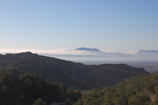
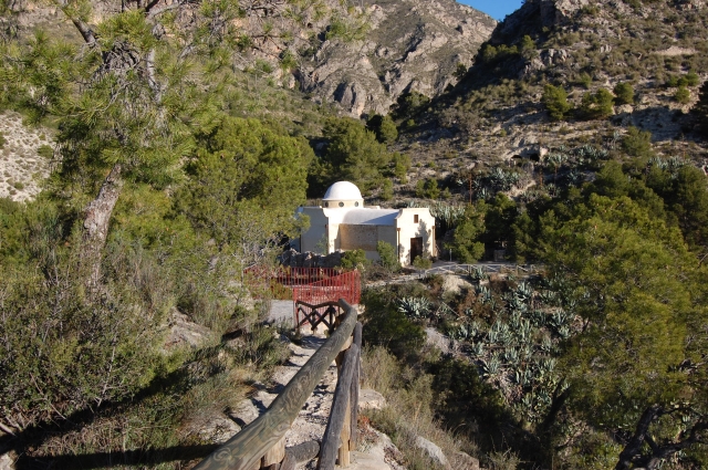
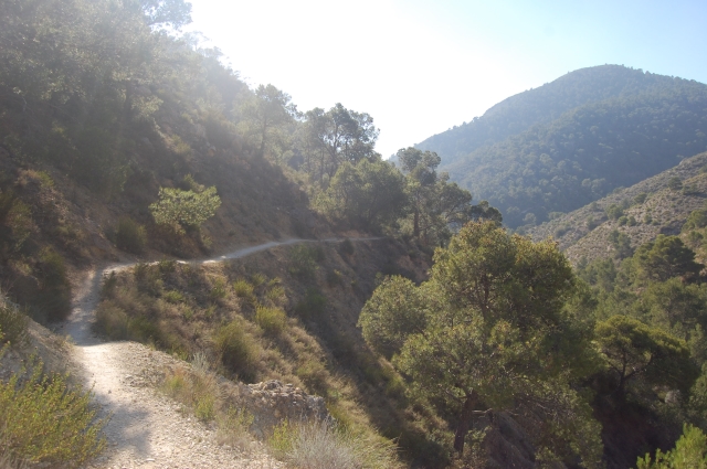
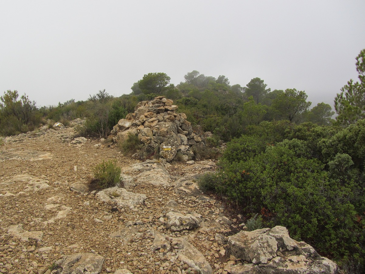
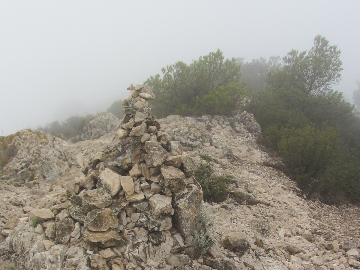
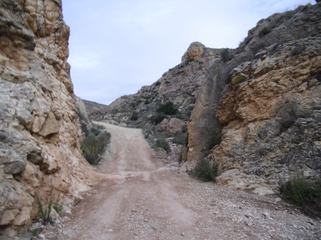
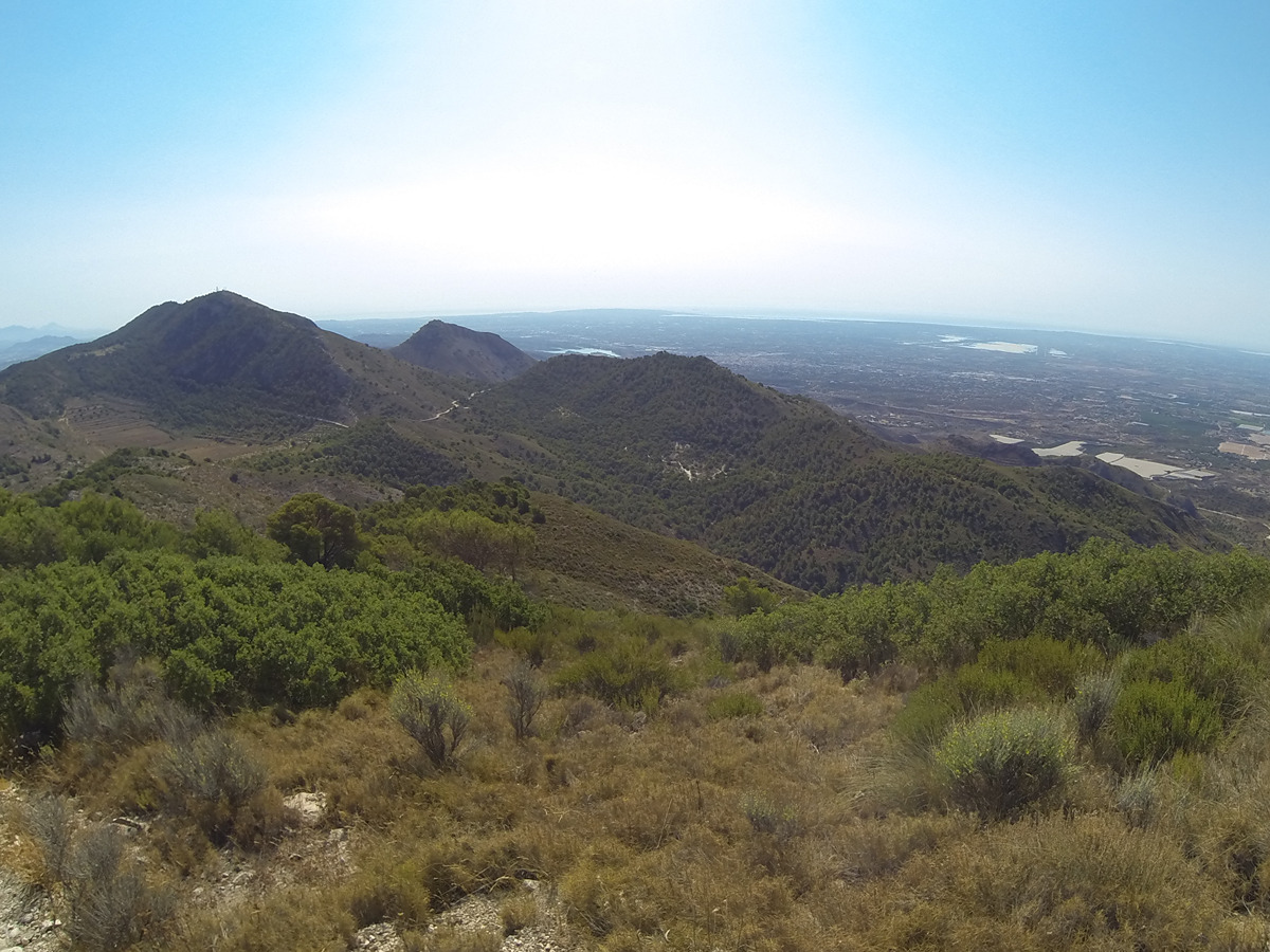
This trail runs along the western half of the Sierra de Crevillente along its mountain range, where you can climb the peaks of Mitjada, Picatxo or Sant Juri with magnificent views of the Vega Baja. The descent follows the northern slope of the Raig mountain range.
Trail:
Loop
Alternative routes and routes leading to nearby points of interest
PR-CV 110.1 LA SERRA MITJANA
Promoter: Centre Excursionista de Crevillent
Certification status: Positive quality control
Reference municipality: Crevillent
Length: 0,70 km
Estimated walking time: 00:20:00
Elevation gain: 90 m
Elevation loss: 0 m
(1)
PR-CV 110.2 EL PICATXO
Promoter: Centre Excursionista de Crevillent
Certification status: Positive quality control
Reference municipality: Crevillent
Length: 0,50 km
Estimated walking time: 00:20:00
Elevation gain: 105 m
Elevation loss: 0 m
(0)
PR-CV 110.3 SAN YURI
Promoter: Centre Excursionista de Crevillent
Certification status: Positive quality control
Reference municipality: Crevillent
Length: 1,10 km
Estimated walking time: 00:30:00
Elevation gain: 95 m
Elevation loss: 65 m
(0)
Other trails connecting with this trail
PR-CV 108 SIERRA DE CREVILLENT
Promoter: Centre Excursionista de Crevillent
Certification status: Positive quality control
Reference municipality: Crevillent
Length: 18,50 km
Estimated walking time: 06:20:00
Elevation gain: 810 m
Elevation loss: 810 m
(0)
PR-CV 109 SENDA DOLÇA
Promoter: Centre Excursionista de Crevillent
Certification status: Conditioned quality control
Reference municipality: Crevillent
Length: 12,20 km
Estimated walking time: 03:50:00
Elevation gain: 630 m
Elevation loss: 630 m
(2)
PR-CV 278 L'ALT PELAT
Promoter: Ayuntamiento de Hondón de las Nieves
Certification status: Positive quality control
Reference municipality: Fondó de les Neus (El)/Hondón de las Nieves
Length: 19,10 km
Estimated walking time: 06:25:00
Elevation gain: 785 m
Elevation loss: 785 m
(0)

GR 330 SENDERO COSTA BLANCA INTERIOR
Promoter: Diputación de Alicante
Certification status: In process of approval
Reference municipality: Dénia
(0)