Rate this trail

PR-CV 109 SENDA DOLÇA

Promoter: Centre Excursionista de Crevillent

Certification status: Conditioned quality control

2 reviews

Following the inspection carried out by trail technicians, this trail has been declared of "limited adequacy" as a result of the faults detected in the signage. These include inadequate horizontal signs (paint markers) and/or vertical ones (trailheads and information boards) or lacking direction markers that do not provide sufficient information to properly follow the route. The builder of this trail has been informed of the situation.
For safety reasons and during maintenance work, it is advised to be extremely careful while taking this route. Furthermore, mountain sports entail risks associated with the activity itself and the environment where they take place, for which any person is fully liable. For this reason, hikes need to be planned properly and adequate training, equipment and sensible use of the trails are required.

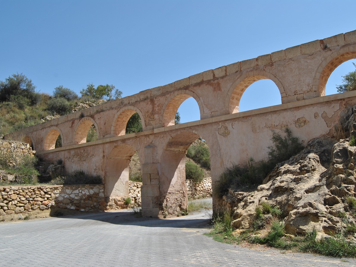
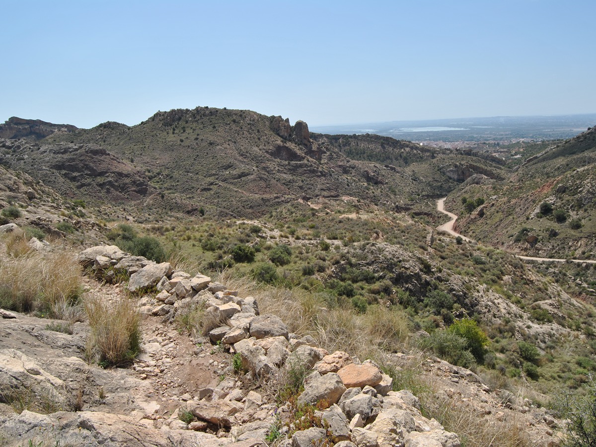
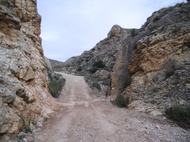
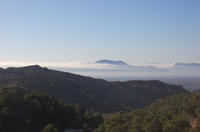
A route that, without reaching the highest point of the Crevillente mountain range, runs along its slopes, passing through the Herma site, El Castellar and the old Crevillent to Hondón de los Frailes road. It borders on the Matamoros Peak before descending along the so-called Senda Dolça until it reaches the Pontets again.

Trail:
Loop with some overlapping out and back sections
Technical data:
Length:
12,20 km
Estimated walking time:
03:50:00
Elevation gain:
630 m
Elevation loss:
630 m
MIDE ratings:
Level of natural risks:
2
Navigation on the trail:
2
Hiking difficulty:
2
Fitness level needed:
3

More information on Montaña Segura

Difficulty rating according to FEDME:
Unknown
Starting point:
Useful information:
Date of certification:
15-09-1998
Date of the act of registration in the Public Register:
22-05-2007
Date of the last Quality Control:
june de 2023
Reference municipality:
Otros municipios por los que transcurre:
District:
Province:
Alicante/Alacant
Cartography IGN MTN25:
0893-1

Downloadable from the Catalogue of the IGN Map Library

See other trails of this promoter:
Protected Natural Spaces:

We advise you to look up the regulations and/or authorisations for using the trails in these conservation areas on the website of the Conselleria de Medio Ambiente, Agua, Infraestructuras y Territorio

  • Serra de Crevillent (SIC - Site of Community Interest)
  • Serres del Sud d'Alacant (SPAB - Special Protection Area for Birds)
  • Sierra de Crevillent (SAC - Special Area of Conservation)
Weather information:
Key points of the route:

Els Pontets - Protohistoric City of Herna (Peña Negra) - GR 330 connection - Camino de l'Ombria (path) - Casa del Tio Mariano (old rural house) (GR 330 and PR-CV 279 connection) - El Replàs dels Pins (ravine) - PR-CV 279 connection - Pi de l'Alivi (pine tree) - Pouet de la Mel (well) - Els Pontets

Route description (only available in Spanish)

Desde els Pontets, subimos por la carretera cogiendo la rambla del Castellar que nos depositará en los yacimientos de la ciudad protohistórica de Herma o Peña Negra. Tras pasar por la Peña Negra y el antiguo refugio restaurado, iremos dirección NE por una especie de antigua pista (que nos lleva a las canteras) hasta llegar a una bifurcación con el antiguo camino de acceso a la sierra.

Continuando por pista, y siempre hacia la izquierda por las principales, llegaremos cerca de una antigua caseta de una bomba de agua. En este punto, sale un sendero a mano izquierda que nos dejará en el collado del Camí de l'Ombria que viene de Hondón de las Nieves. Tomaremos el camino izquierda hasta llegar a unos corrales y refugio en mal estado. La evidencia nos pide ir por la pista, pero deberemos pasar por debajo de gran pico y localizar un sendero que nos depositará en la pista que recorre toda la umbría de la sierra de Crevillent.

Toda esta pista es coincidente con el PR-CV 279 hasta llegar a la Casa del Tío Mariano, la cual queda ligeramente a derecha y no visible. Llegados a este punto, donde también es coincidente el GR 330, subiremos por la carretera dirección a la Vella, pero en la primera curva, seguiremos rectos por una pista que rápido se convierte en sendero. Hay que obviar la que viene por la izquierda y siempre buscar la ascendente. Este sendero nos deja en el Replà dels Pins, un collado que nos cambia de vertiente.

Podemos seguir por el sendero más evidente hasta la confluencia con el PR-CV 279, y comenzar la bajada por un sendero bien definido hasta llegar al Pi de l'Alivi.

Desde aquí, el sendero es más benigno y siempre de bajada, hasta llegar a la zona del Pouet de la Mel (pozo en el fondo del barranco), ya por pista llegaremos a la confluencia con el PR-CV 108 y de ahí al camino de las canteras, el cual nos llevará de manera directa a Els Pontets.

Downloads:

Beware! Navigation devices may fail, batteries may run out of power and devices may break down. Do not use only electronic means to track your activities in the mountains; they must be used as a complement to the map and compass. Get some proper training and enjoy the mountains.

Other trails connecting with this trail