

PR-CV 229 LA MATA
Promoter: Ayuntamiento de la Mata de Morella
Certification status: Positive quality control
0 reviews
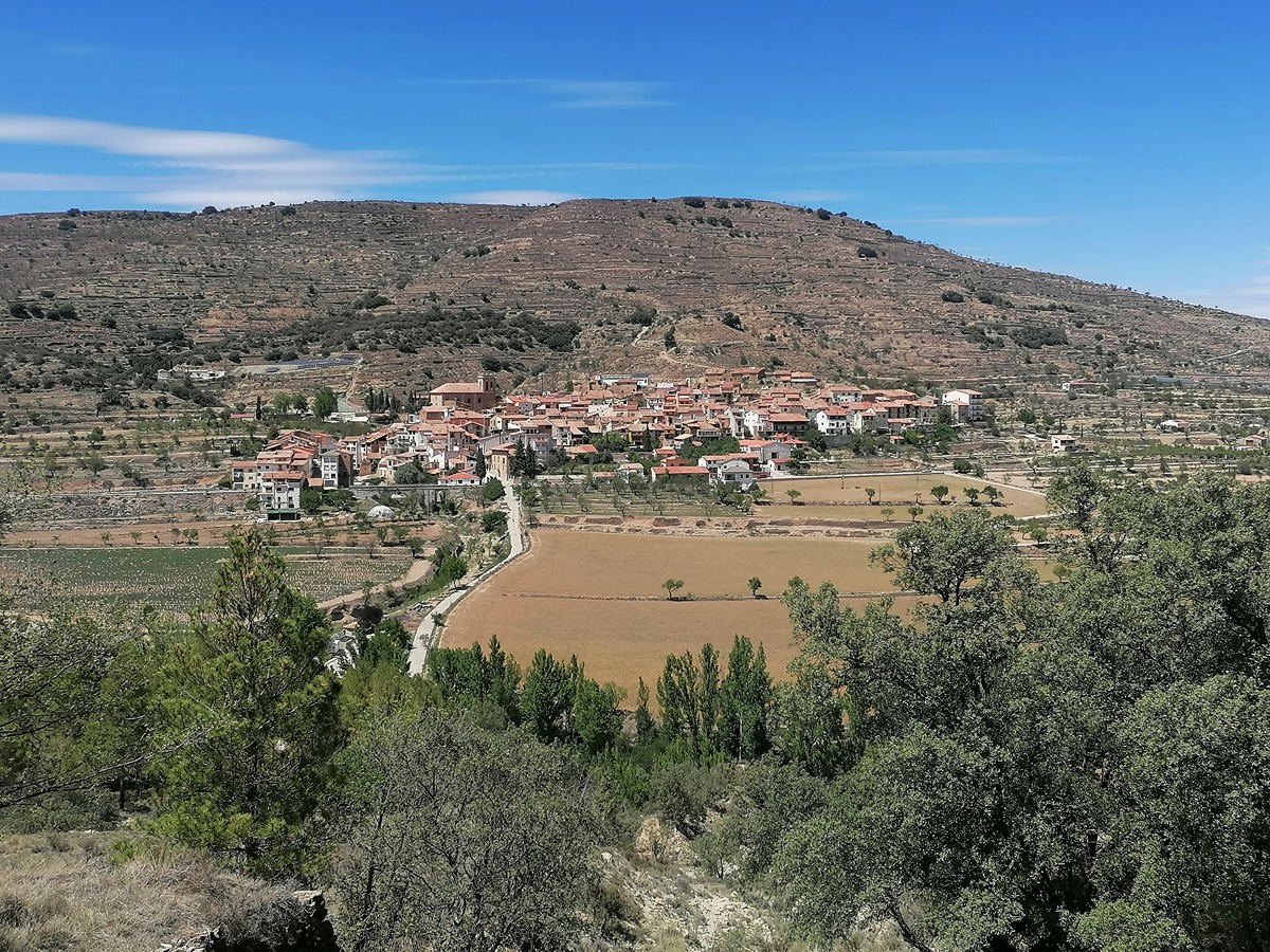
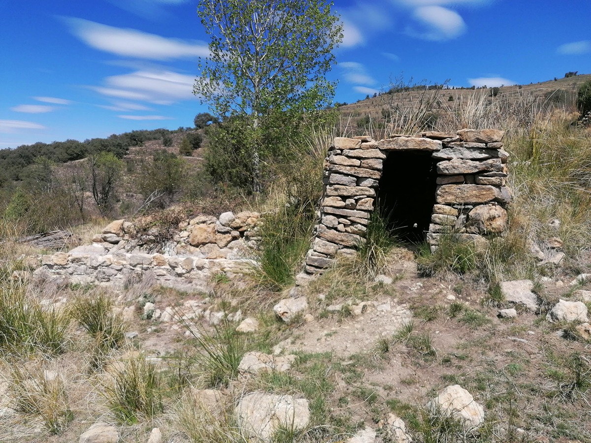
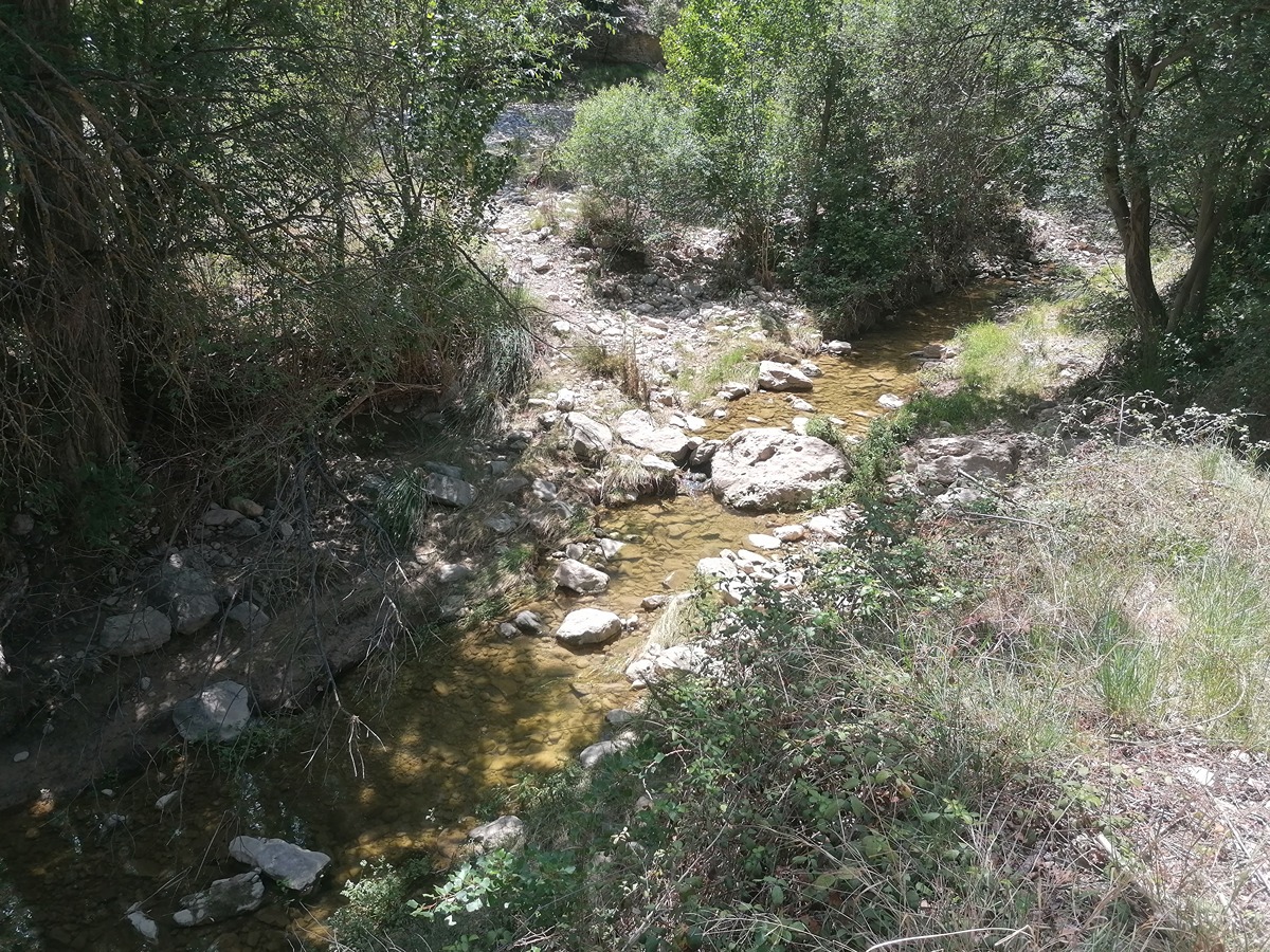
A route with samples of dry stone architecture where we will cross the Cantavieja river a couple of times, pass by the farmhouse of les Clapisses and ascend to the vicinity of the Tossal from where we can contemplate a great view of the village of Cuba, already in the province of Teruel.
Trail:
Loop
Other trails connecting with this trail
PR-CV 117 FORCALL - MIRAMBEL
Promoter: Ayuntamiento de Morella
Certification status: No quality controls
Reference municipality: Forcall
Length: 19,15 km
Estimated walking time: 06:20:00
Elevation gain: 670 m
Elevation loss: 340 m
(0)
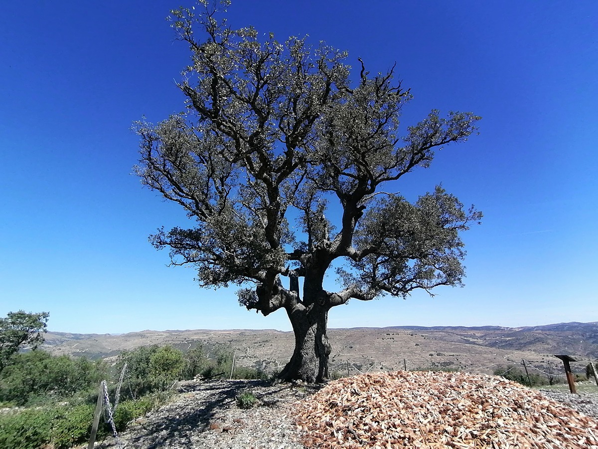
PR-CV 247 CARRASCA DE GUAITA
Promoter: Ayuntamiento de la Mata de Morella
Certification status: Positive quality control
Reference municipality: Mata de Morella (La)
Length: 5,70 km
Estimated walking time: 02:10:00
Elevation gain: 315 m
Elevation loss: 315 m
(0)

GR 331 E03 CINCTORRES - LA MATA
Promoter: Mancomunitat Comarcal Els Ports
Certification status: Valid
Etapa número: 3
Reference municipality: Cinctorres
Length: 13,30 km
Estimated walking time: 04:30:00
Elevation gain: 325 m
Elevation loss: 425 m
(0)
GR 331 E04 LA MATA - OLOCAU DEL REY
Promoter: Mancomunitat Comarcal Els Ports
Certification status: Valid
Etapa número: 4
Reference municipality: Mata de Morella (La)
Length: 8,20 km
Estimated walking time: 03:00:00
Elevation gain: 335 m
Elevation loss: 100 m
(0)