Rate this trail

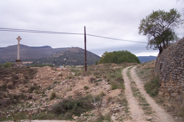
PR-CV 247 CARRASCA DE GUAITA

Promoter: Ayuntamiento de la Mata de Morella

Certification status: Positive quality control

0 reviews

Following the inspection carried out by trail technicians, this trail has been declared of "limited adequacy" as a result of the faults detected in the signage. These include inadequate horizontal signs (paint markers) and/or vertical ones (trailheads and information boards) or lacking direction markers that do not provide sufficient information to properly follow the route. The builder of this trail has been informed of the situation.
For safety reasons and during maintenance work, it is advised to be extremely careful while taking this route. Furthermore, mountain sports entail risks associated with the activity itself and the environment where they take place, for which any person is fully liable. For this reason, hikes need to be planned properly and adequate training, equipment and sensible use of the trails are required.

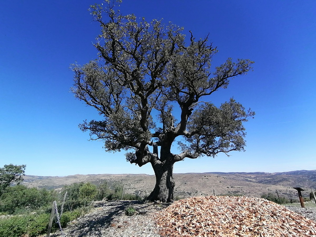
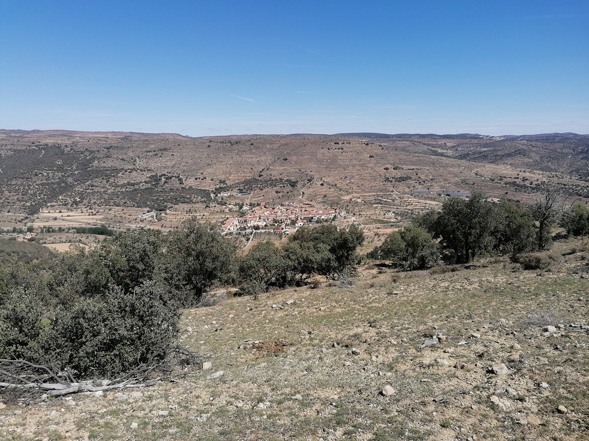
During the tour, we will cross the Cantavieja river and ascend to the vicinity of the Tossal. As a highlight, we will reach the Carrasca de Guaita, an outstanding specimen and privileged point from where we can contemplate a great view of the village of Mata de Morella.

Trail:
Loop
Technical data:
Length:
5,70 km
Estimated walking time:
02:10:00
Elevation gain:
315 m
Elevation loss:
315 m
MIDE ratings:
Level of natural risks:
1
Navigation on the trail:
2
Hiking difficulty:
3
Fitness level needed:
3

More information on Montaña Segura

Difficulty rating according to FEDME:
Unknown
Useful information:
Date of certification:
13-07-2024
Date of the last Quality Control:
june de 2024
Reference municipality:
District:
Province:
Castellón/Castelló
Cartography IGN MTN25:
0544-2

Downloadable from the Catalogue of the IGN Map Library

See other trails of this promoter:
Protected Natural Spaces:

We advise you to look up the regulations and/or authorisations for using the trails in these conservation areas on the website of the Conselleria de Medio Ambiente, Agua, Infraestructuras y Territorio

  • L'Alt Maestrat (SIC - Site of Community Interest)
  • L'Alt Maestrat, Tinença de Benifassà, Turmell i Vallibana (SPAB - Special Protection Area for Birds)
Key points of the route:

La Mata – Bifurcation GR 331 and PR-CV 117 – Camino a la Cuba (path) – Connection PR-CV 229 – Mas del Tossal (house) – Carrasca de Guaita (tree) – Río Cantavieja (river) – Granja de Piquer (farmhouse) – Connection PR-CV 229 – La Mata

Route description (only available in Spanish)

Iniciamos la ruta en la calle carretera en dirección a Mirambel, desviándonos a los pocos metros por el camino antiguo de Mirambel. Cruzaremos el río Cantavieja e iremos ascendiendo junto al río de la Cuba hasta que nos desviemos tomando el barranco de Mançanera. Pasaremos junto a la fuente y área recreativa del mismo nombre y seguiremos ascendiendo por el azagador de la Mançanera hasta que lo abandonamos para dirigirnos en fuerte pendiente hacia el mas del Tossal.

Alcanzado el collado, nos desviamos a la izquierda siguiendo la cresta hasta la carrasca de Guaita. Seguiremos la senda de bajada sin dejarla en ningún momento hasta llegar de nuevo al río Cantavieja que lo atravesaremos por el paso de la palanca de Santa Bárbara. Seguimos el camino hasta la granja Piquer donde nos desviaremos a la izquierda para seguir una senda junto a paredes de bancales hasta que alcancemos el camino que en pocos metros nos devuelve al punto de inicio

Downloads:

Beware! Navigation devices may fail, batteries may run out of power and devices may break down. Do not use only electronic means to track your activities in the mountains; they must be used as a complement to the map and compass. Get some proper training and enjoy the mountains.

Other trails connecting with this trail