Rate this trail

PR-CV 304 PIC DE LA RATLLA

Promoter: Ayuntamiento de Alzira

Certification status: Positive quality control

0 reviews

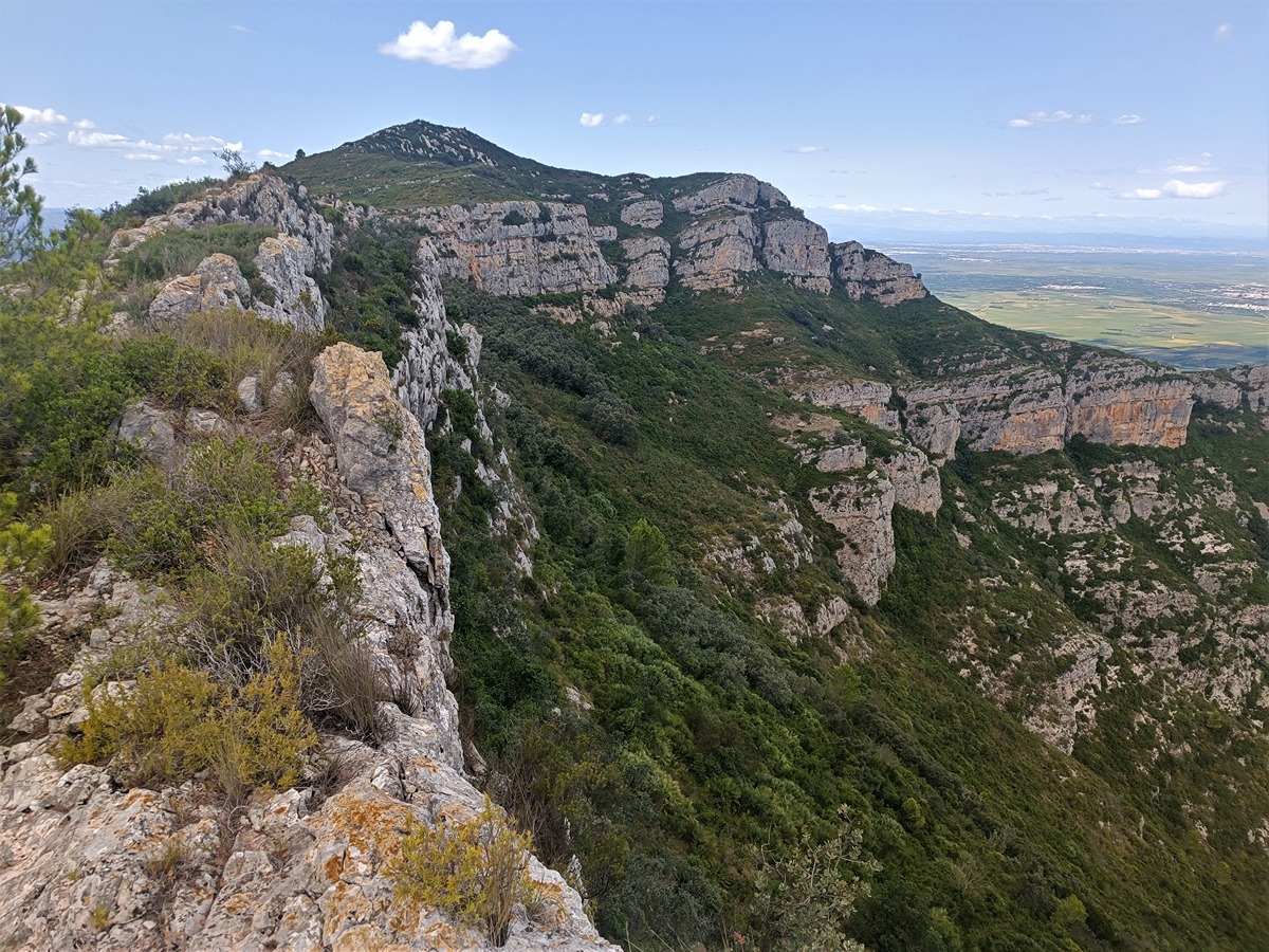
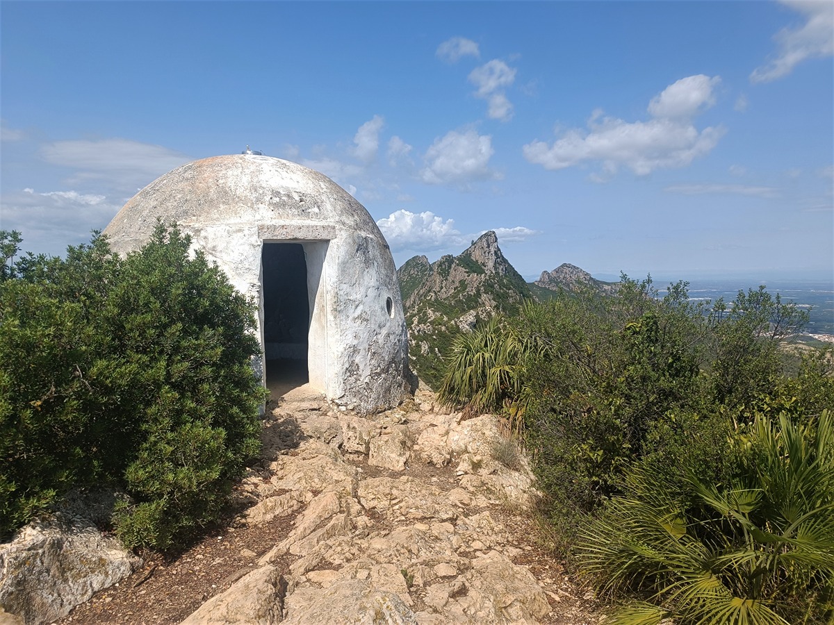
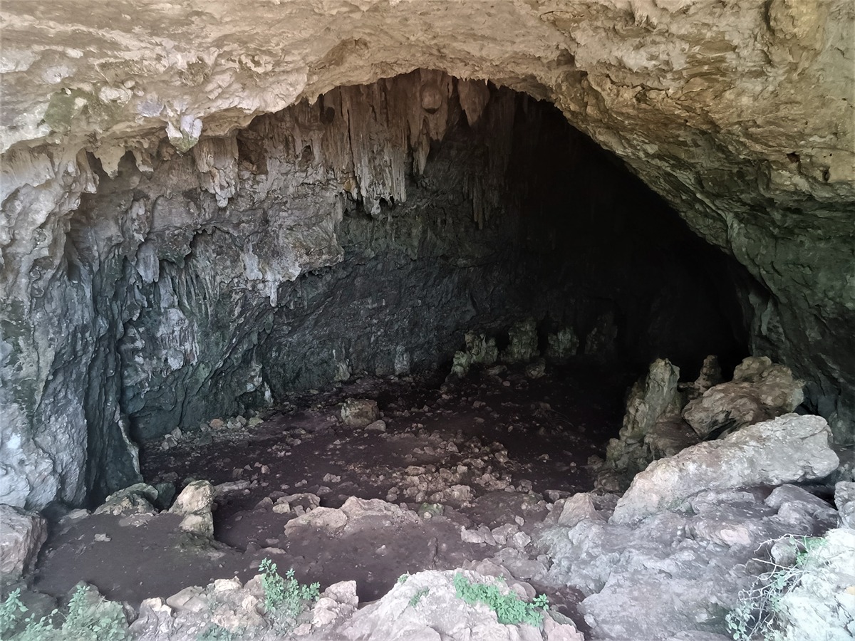
Route that crosses some iconic peaks of the Corbera mountain range such as Pic de la Ratlla, with spur trails to l'Ouet and the Galera cave. The views all along this route are fantastic: the trail overlooks the Mediterranean and the rice fields of l'Albufera de València lagoon.

Trail:
One way (point-to-point)
Technical data:
Length:
6,80 km
Estimated walking time:
02:45:00
Elevation gain:
600 m
Elevation loss:
220 m
MIDE ratings:
Level of natural risks:
1
Navigation on the trail:
2
Hiking difficulty:
2
Fitness level needed:
3

More information on Montaña Segura

Difficulty rating according to FEDME:
Unknown
Starting point:
Useful information:
Date of certification:
15-05-2005
Date of the act of registration in the Public Register:
22-05-2007
Date of the last Quality Control:
august de 2023
Reference municipality:
Otros municipios por los que transcurre:
District:
Province:
Valencia/València
Cartography IGN MTN25:
0770-2

Downloadable from the Catalogue of the IGN Map Library

See other trails of this promoter:
Protected Natural Spaces:

We advise you to look up the regulations and/or authorisations for using the trails in these conservation areas on the website of the Conselleria de Medio Ambiente, Agua, Infraestructuras y Territorio

  • La Murta y la Casella (Municipal Natural Site)
  • Sierra de Corbera (SIC - Site of Community Interest)
  • Sierra de Corbera (SAC - Special Area of Conservation)
Key points of the route:

Font de Tormos (spring) and La Casella Forest House - Viewpoint - l'Ouet - Pla de Simetes (plain) - Cova de la Galera (cave) - Pic de la Ratlla (peak) - PR-CV 38.1 connection

Route description (only available in Spanish)

Salimos de la casa forestal de la Casella continuando por la pista y al poco encontramos el desvío a la izquierda que nos separa del PR-CV-303 y nos acerca a la primera derivación de la ruta. Este corto desvío nos lleva a un mirador desde el que tenemos una bonita vista del frondoso valle de la Casella. De vuelta al camino principal continuamos por la senda que sube por la cara Sur de la serra de Corbera hasta llegar a la segunda derivación a la izquierda que nos subirá hasta la primera cima de la sierra en el observatorio forestal de l'Ouet. Regresamos de nuevo al sendero principal y al poco llegamos al pla de Simetes. Desde este collado tomaremos de nuevo otra derivación a la izquierda que nos llevará a la cara Norte de la sierra hasta la gran cavidad de la cova de la Galera. Después de explorar la gruta volveremos al sendero y continuaremos subiendo hasta el pic de la Ratlla, la cima más alta de la sierra. Bajamos y al poco nos unimos al PR-CV 38.1, final de recorrido.

Downloads:

Beware! Navigation devices may fail, batteries may run out of power and devices may break down. Do not use only electronic means to track your activities in the mountains; they must be used as a complement to the map and compass. Get some proper training and enjoy the mountains.

Other trails connecting with this trail
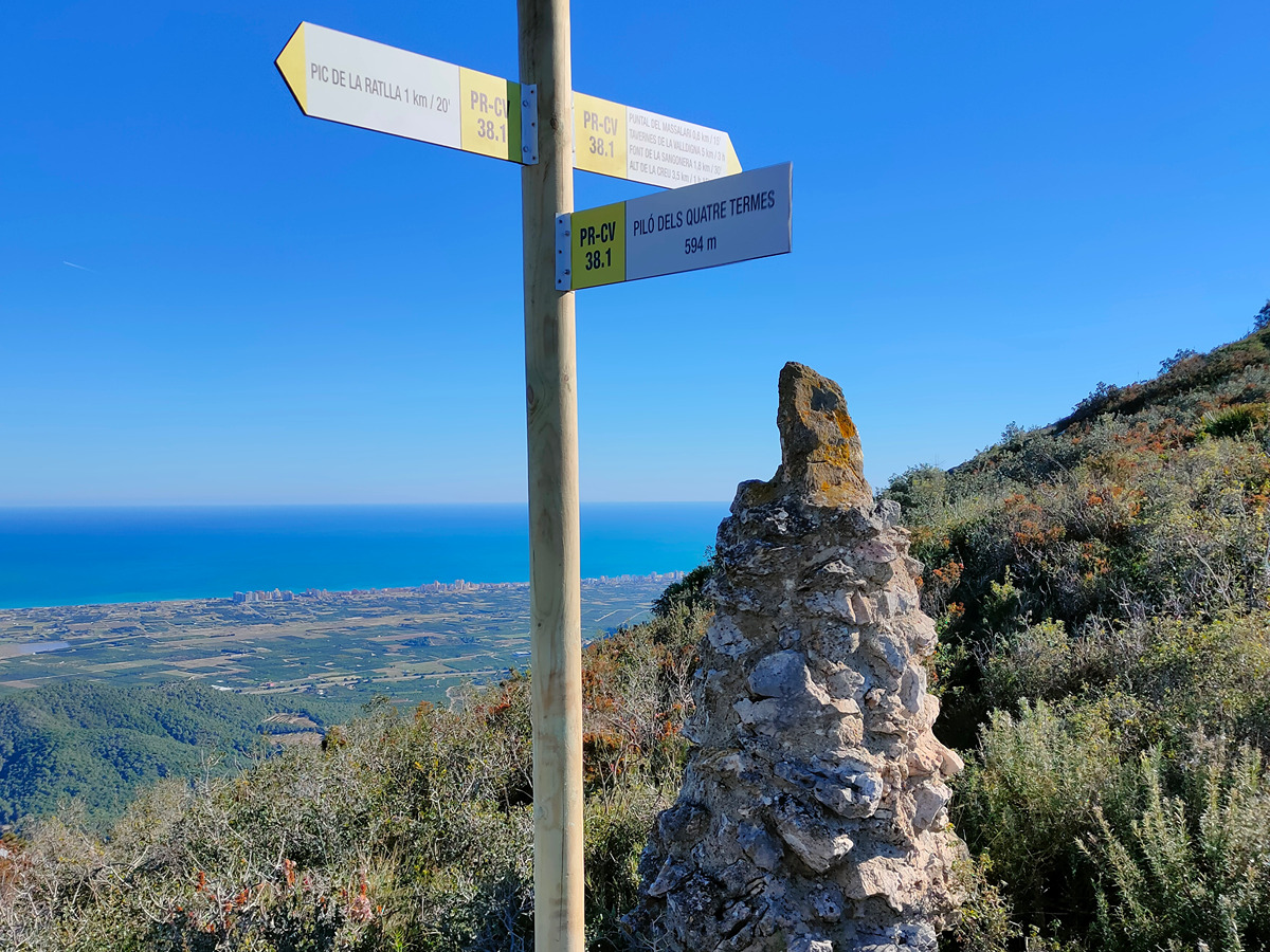