Rate this trail

PR-CV 311 NOVELDA - LA MOLA - NOVELDA

Promoter: Ayuntamiento de Novelda

Certification status: Conditioned quality control

0 reviews

Following the inspection carried out by trail technicians, this trail has been declared of "limited adequacy" as a result of the faults detected in the signage. These include inadequate horizontal signs (paint markers) and/or vertical ones (trailheads and information boards) or lacking direction markers that do not provide sufficient information to properly follow the route. The builder of this trail has been informed of the situation.
For safety reasons and during maintenance work, it is advised to be extremely careful while taking this route. Furthermore, mountain sports entail risks associated with the activity itself and the environment where they take place, for which any person is fully liable. For this reason, hikes need to be planned properly and adequate training, equipment and sensible use of the trails are required.

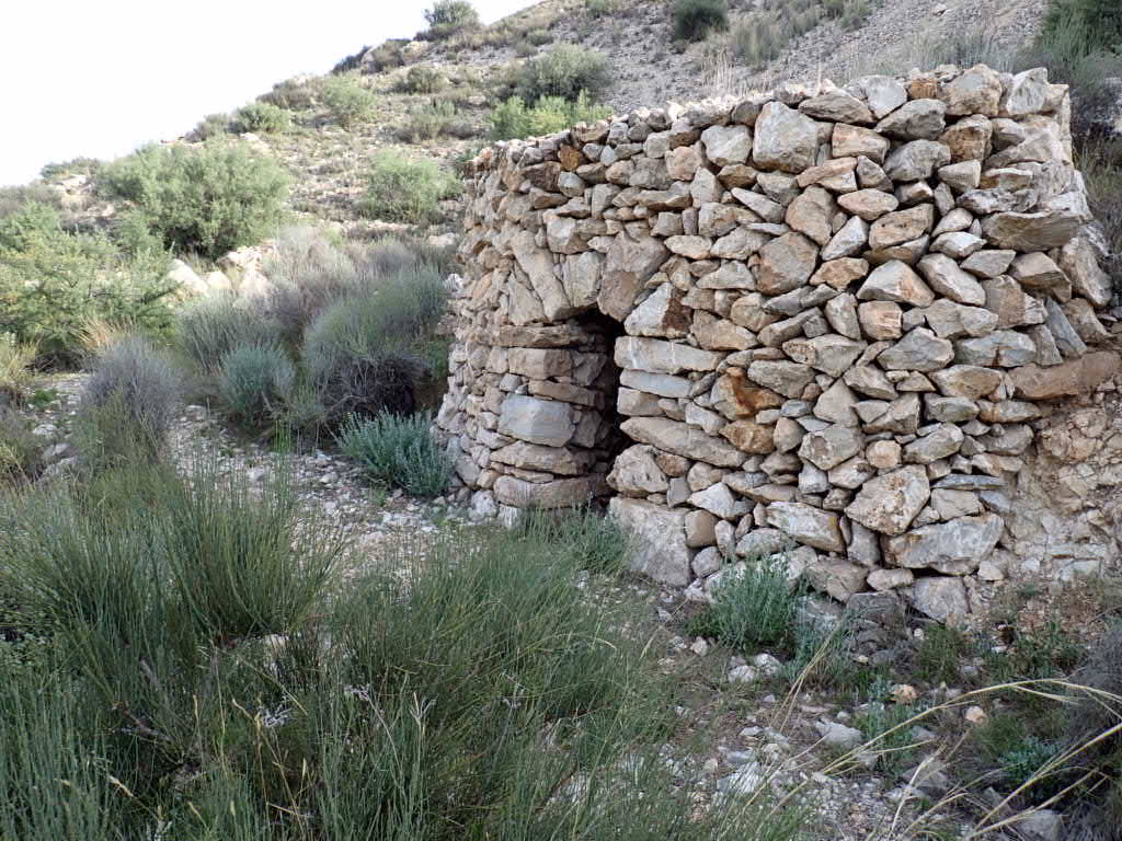
The trail takes you along the course of the Vinalopó river to the top of La Mola, an iconic mountain in the municipality of Novelda where the Castle of La Mola, with its unique triangular tower, and the modernist sanctuary of Santa Maria Magdalena are located. There are great views of the Vinalopó river valley from the top of this mountain.

Trail:
Loop with some overlapping out and back sections
Technical data:
Length:
13,10 km
Estimated walking time:
04:10:00
Elevation gain:
425 m
Elevation loss:
425 m
MIDE ratings:
Level of natural risks:
1
Navigation on the trail:
2
Hiking difficulty:
2
Fitness level needed:
3

More information on Montaña Segura

Difficulty rating according to FEDME:
Unknown
Useful information:
Date of certification:
15-02-2005
Date of the act of registration in the Public Register:
22-05-2007
Date of the last Quality Control:
august de 2022
Reference municipality:
District:
Province:
Alicante/Alacant
Cartography IGN MTN25:
0871-3

Downloadable from the Catalogue of the IGN Map Library

See other trails of this promoter:
Protected Natural Spaces:

We advise you to look up the regulations and/or authorisations for using the trails in these conservation areas on the website of the Conselleria de Medio Ambiente, Agua, Infraestructuras y Territorio

  • Clots de la Sal y monte de la Mola (Municipal Natural Site)
Key points of the route:

Novelda - La Teulera - Aqueduct, Weir, river waterfall - Castillo de La Mola (fort) - Cumbre de la Mola (summit) - Casa Lino (old rural house) - Camino Viejo (path) - Santuario de Santa Maria Magdalena (sanctuary) - Novelda

Route description (only available in Spanish)

Comenzaremos a caminar (enlace PR-CV 325) en dirección noroeste por el paseo de los Molinos y a la altura del primer molino, situado a 750 metros, tomaremos un camino a la derecha que se dirige al río Vinalopó. Cruzaremos este por un puente de hormigón desde donde ya divisamos nuestro destino: el santuario y el cerro de la Mola. Siguiendo por el camino llegaremos a una bifurcación en la Teulera donde el PR-CV 325 continua recto y nosotros giraremos a la izquierda para seguir por la margen izquierda del río. Pasaremos junto al acueducto que cruza el río y continuaremos andando junto al cauce 200 metros más hasta que lleguemos al enlace con el SL-CV 127 donde cruzaremos el río por un puente y siguiendo rectos por el camino subiremos a la carretera CV-832. Giraremos a nuestra derecha en esta carretera y siguiendo por ella enseguida llegaremos al partidor de aguas del Castillo donde abandonaremos la carretera y continuaremos por una senda a nuestra izquierda que sube al castillo de la Mola. Aquí giramos a nuestra derecha y rodeando el castillo llegaremos al aparcamiento (enlace SL-CV 127). Al final de este aparcamiento tomaremos un camino a nuestra izquierda que sube a una cantera abandonada y continuando rectos enseguida encontraremos una senda a nuestra izquierda por la que subiremos a la cumbre de la Mola. Bajaremos por un camino que pasa por unas canteras abandonadas y que dejaremos para seguir por una senda a nuestra derecha que sale a una calle de una urbanización. Continuaremos por la izquierda en esta calle y siguiendo por ella llegaremos a casa Lino donde giramos a nuestra izquierda y seguimos por la carretera CV-832 durante 300 metros hasta una bifurcación donde continuamos por la izquierda y donde comienza el camino Viejo que sube al santuario de la Magdalena. Desde aquí solo nos falta repetir el tramo por el río para volver a Novelda.

Downloads:

Beware! Navigation devices may fail, batteries may run out of power and devices may break down. Do not use only electronic means to track your activities in the mountains; they must be used as a complement to the map and compass. Get some proper training and enjoy the mountains.

Other trails connecting with this trail
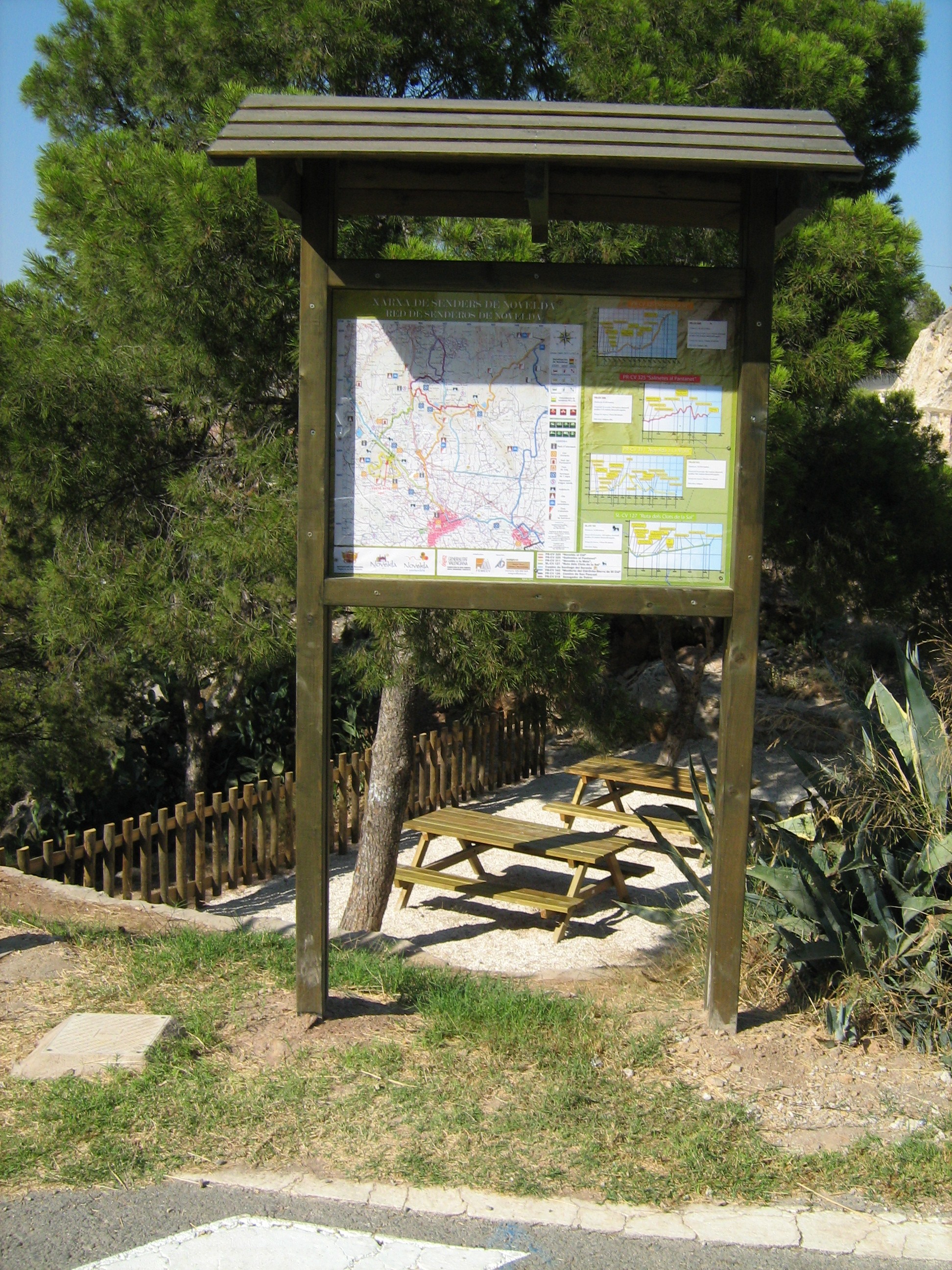