Cambiar idioma a español / Cambiar idioma a english / Cambiar idioma a valencià

Rate this trail

PR-CV 337 RUTA DE LAS FUENTES DE TITAGUAS

Promoter: Ayuntamiento de Titaguas

Certification status: No quality controls

1 review

There is no proof of quality control on the record of this trail in the last years. For this reason, it is unknown whether it complies with the optimal signage and maintenance conditions for hikers to take the trail following these signs exclusively.
Hikers have to take into consideration that the information about the signage and maintenance of the trails for which the promoter entity is responsible might not be up to date anymore, since it refers to its state on the date of its approval. Furthermore, mountain sports entail risks associated with the activity itself and the environment where they take place, for which any person is fully liable. For this reason, hikes need to be planned properly and adequate training, equipment and sensible use of the trails are required.

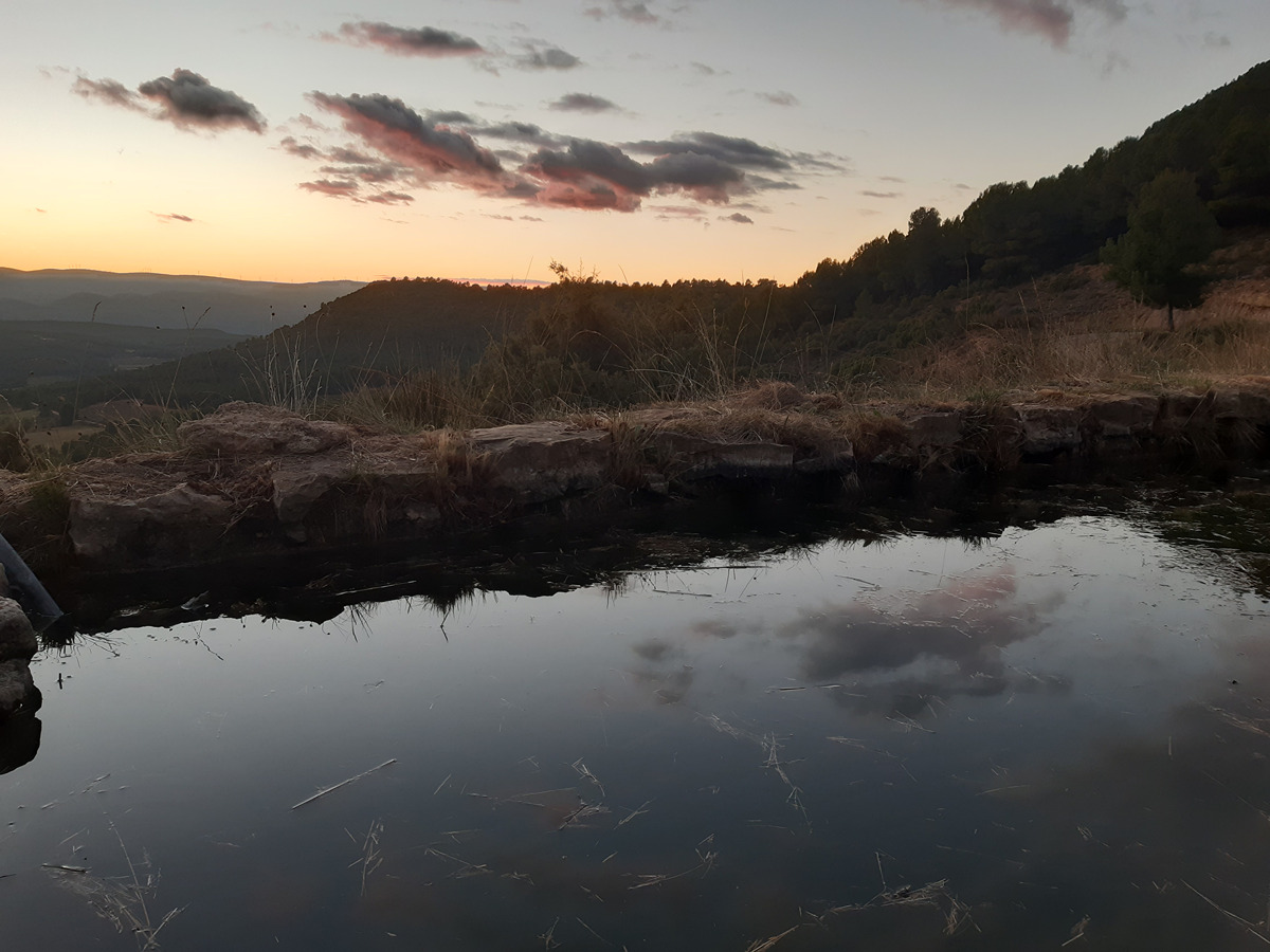
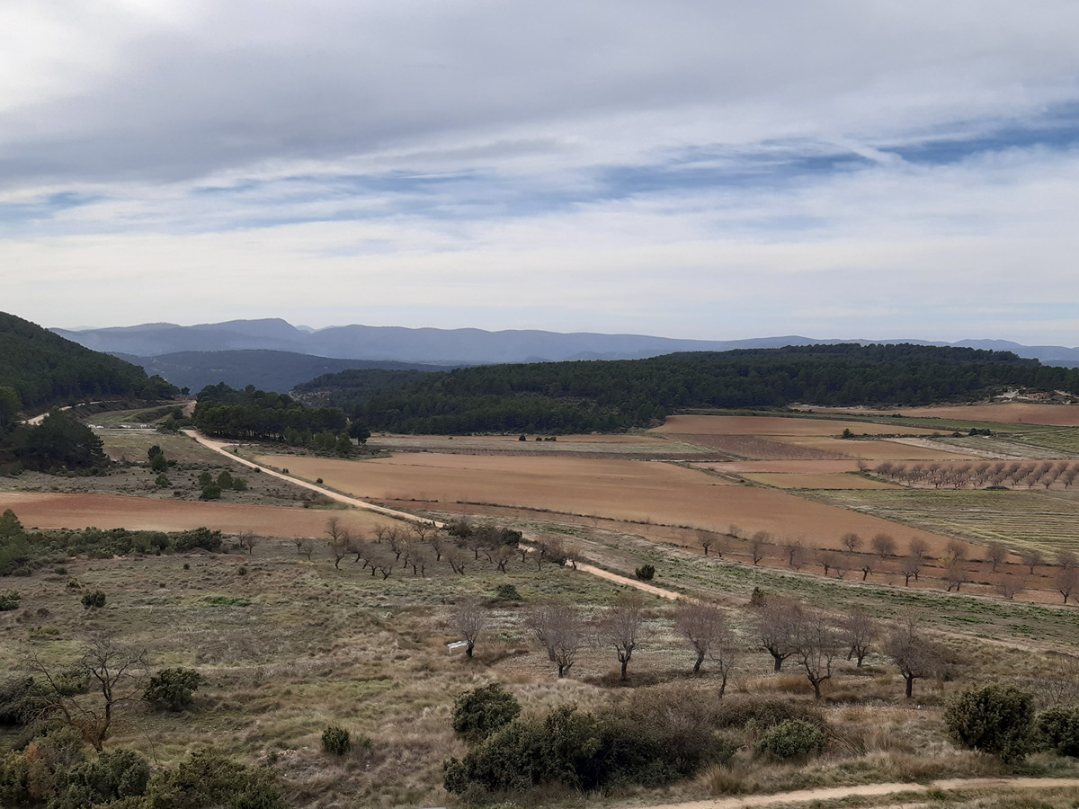
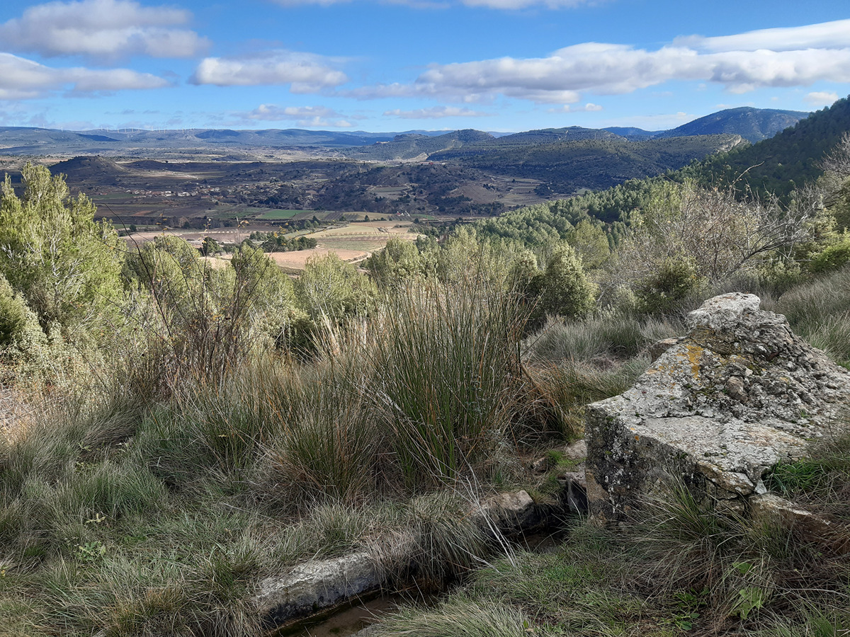
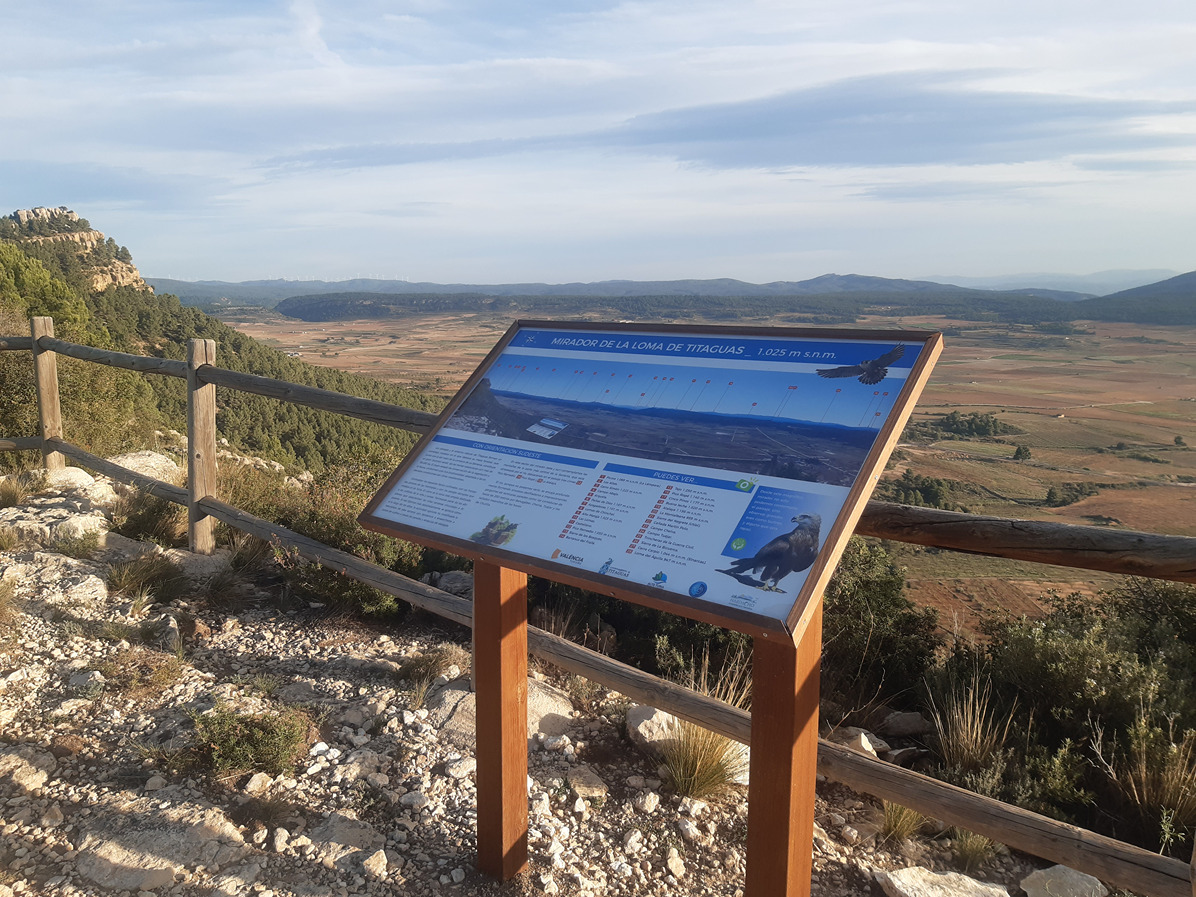
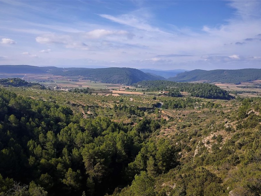
Discover the Serranía by walking along this trail that showcases the varied landscapes of this region. Its springs invite you to take a refreshing break and the numerous corrals that you will find will take you back in time and make you wonder about the use of these lands back in the day.

Trail:
Loop with some overlapping out and back sections
Technical data:
Length:
15,40 km
Estimated walking time:
04:50:00
Elevation gain:
475 m
Elevation loss:
475 m
MIDE ratings:
Level of natural risks:
2
Navigation on the trail:
2
Hiking difficulty:
2
Fitness level needed:
3

More information at Montaña Segura

Difficulty rating according to FEDME:
Unknown
Useful information:
Date of certification:
30-03-2007
Date of the act of registration in the Public Register:
20-02-2008
Date of the last Quality Control:
april de 2022
Reference municipality:
Otros municipios por los que transcurre:
District:
Province:
Valencia/València
Cartography IGN MTN25:
0638-3

You can download them from the IGN Map Library Catalog

See other trails of this promoter:
Protected Natural Spaces:

It is recommended to consult the regulations and/or authorizations for the use of trails in these protected natural areas on the website of the Regional Ministry of Environment, Water, Infrastructure, and Territory

  • Alto Turia (Biosphere reserve)
  • Alto Turia y Sierra del Negrete (SPAB - Special Protection Area for Birds)
Weather information:
Nearest AVAMET weather station
Key points of the route:

Fuente Vieja (Titaguas) (spring) - Fuente de la Zarza (spring) - Fuente del Hontanarejo (spring) - Fuente de la Hoya del Hacha (spring) - Collado de las Cambrillas (coll) - Fuente del Hontanar (spring) - Fuente del Barajuelo (spring) - Fuente Vieja (Titaguas) (spring)

Route description (only available in Spanish)

Comenzamos el itinerario en la fuente Vieja, en la parte norte del núcleo urbano de Titaguas. Nos dirigimos hacia la fuente de la Zarza y su merendero, abandonando el núcleo urbano. La forma de ocho de esta ruta nos permite elegir entre dos direcciones en este punto. Nosotros vamos a tomar la que continúa por la pista hacia el norte para encontrarnos con la fuente del Hontanarejo y la fuente de la Hoya del Hacha. Desde aquí nos dirigimos hacia el centro del ocho que dibuja nuestra ruta. Continuamos hacia la fuente del Hontanar. Por la izquierda comenzamos a ascender por una senda pasando por varias ruinas de antiguos corrales. Llegamos por un tramo final de pista hasta la fuente del Hontanar, lugar ideal para hacer un descanso aprovechando su área y sus vistas. Caminamos de vuelta ese mismo tramo hasta desviarnos por la izquierda para continuar con el bucle que coincide, en una parte, con el GR 37 y que nos lleva de nuevo al collado de las Cambrillas. Ascendemos dejando el GR 37 hacia la fuente de Barajuelo. Descubrimos un paisaje diferente con la aldea de Baldovar al fondo. Recorremos una pista por medio de un gran bosque de pinos atravesado por un cortafuegos y llegamos a una senda que tomamos por la derecha y que acaba en un descenso pronunciado hasta la fuente de la Zarza, donde reconocemos el camino de vuelta al punto de partida.

Downloads:

Beware! Navigation devices may fail, batteries may run out of power and devices may break down. Do not use only electronic means to track your activities in the mountains; they must be used as a complement to the map and compass. Get some proper training and enjoy the mountains.

Other trails connecting with this trail